Iron Goat Trail
View Photos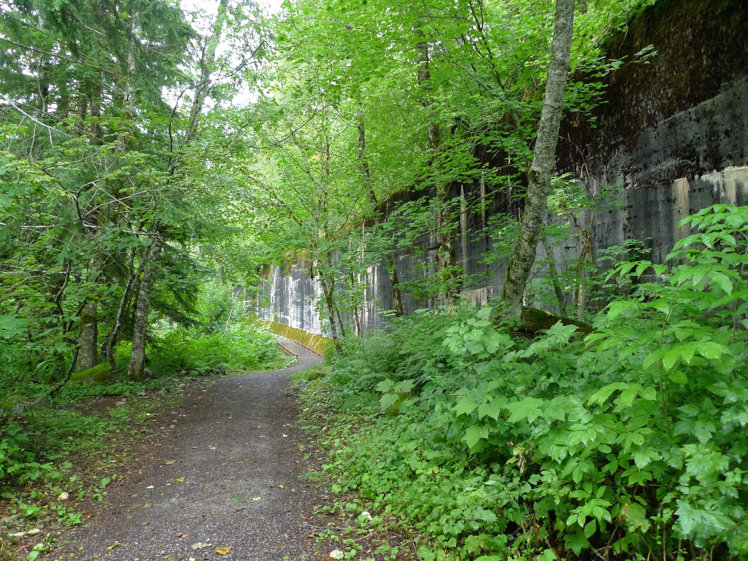
Iron Goat Trail
Difficulty Rating:
The Iron Goat Trail is a 5.9mi heavily trafficked out and back trail that is rated as moderate. This trail doesn’t offer the panoramic views typical of the area, but it has its own special charm. It’s a history-rich walk along the old Great Northern Railway built over the Cascades in 1893. The hike leads up one of the switchbacks that once helped trains up the Cascades. Active children who like trains will love this one!
The first section of this trail, about three miles’ worth, is ADA-accessible.
Getting there
The trailhead for the Iron Goat Trail is off FR 6710. Turn onto FR 6710 from Old Cascade Highway. The trailhead is 1.4mi down the road.

About
| Backcountry Campground | No |
| When to do | March-November |
| Pets allowed | Yes - On Leash |
| Family friendly | Older Children only |
| Route Signage | Good |
| Crowd Levels | High |
| Route Type | Circuit |
Iron Goat Trail
Elevation Graph
Weather
Iron Goat Trail Description
Iron Goat Trail is a unique, fascinating hike. This trail doesn’t give major sky-high views, but it does provide a peek into the railroad history of the area. Anyone who appreciates history and young kids who like trains should find this hike especially fun!
The trail winds up the Great Northern Railway, following a switchback used by trains back in the late 1800s to rise over the Cascades. Interpretive signs along the trail add depth and detail to the area’s history, and waterfalls and creeks add natural beauty to the experience. The first section of this hike is ADA-accessible and suitable for hikers of most ability levels.
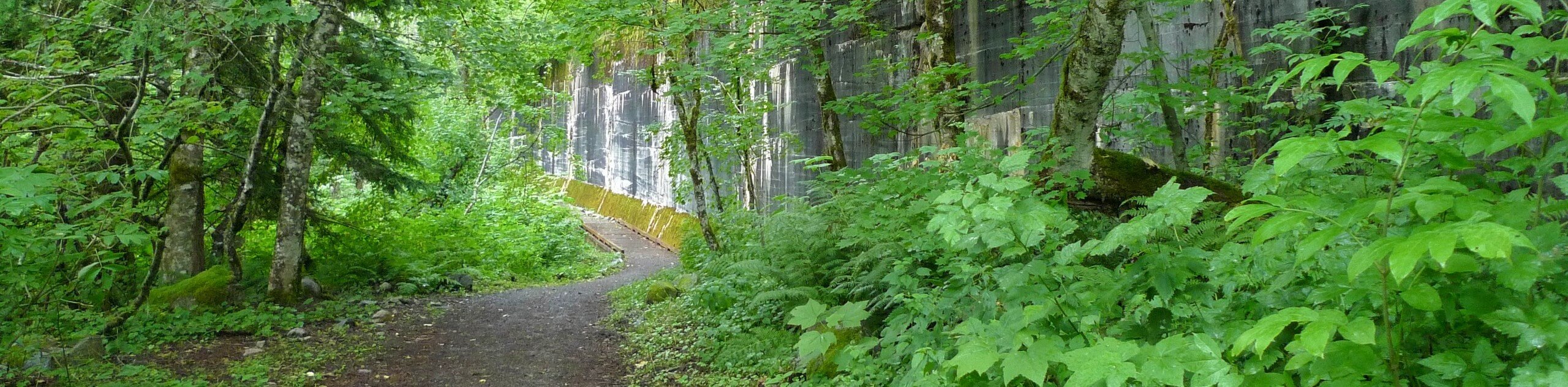
The trail begins from the Martin Creek trailhead. Hike along a wide gravel trail with well-constructed bridges over the creek crossings. Little waterfalls fall over the rocks, and a collection of old tunnels with their construction dates on the entrance stand. These were built to protect trains from avalanches. Note the signage, which explains that they’re unsafe to enter these days.
Read about those who built the railway on the signs as you go. About 3 miles into the hike, there is a paved turnoff with a red caboose. Kids will love this part!
To complete the upper loop, follow the signage to the Windy Point crossover trail by going left. This section is steeper, but you’ll find some nice views of Stevens Pass at the top. If you go right for a quarter-mile, there is another pleasant viewpoint.
Take the upper left trail to complete your loop, where more waterfalls await. If you see signs with numbers, these tell how many miles to Chicago you are, which is where the railroad began.
Follow the Martin Creek crossover trail back to your vehicle.
Hiking Route Highlights
Great Northern Railway
The Great Northern Railway was created in September 1889 by the connection of several pre-existing railroads. It stretched from Lake Superior to Seattle, running through North Dakota, Montana, and Idaho on the way. The line was the result of one man’s dream, James Jerome Hill, the “Empire Builder.” He was called that because of his ability to create prosperous business where there previously was none.
Frequently Asked Questions
Is Iron Goat Trail dog-friendly?
Yes, but pets must be kept on leash.
Can kids do Iron Goat Trail?
Most active children will be able to appreciate some or all of the trail. Young children may be less excited to take on the brief steep sections, but the trail as a whole is moderate and has lots to interest little ones.
Insider Hints
“The White Cascade” by Gary Krist describes the Wellington Avalanche Disaster, the event that spurred the construction of the avalanche tunnels on this route.
Remember to have your Northwest Forest Pass ready for this hike.
Similar hikes to the Iron Goat Trail hike

Lakes Dorothy, Bear, Deer, and Snoqualmie Hike
The Lakes Dorothy, Bear, Deer, and Snoqualmie Hike provides access to Lake Dorothy, Bear Lake, Deer Lake, and Snoqualmie Lake.…

Gold Creek Trail to Joe Lake
Gold Creek Trail to Joe Lake is not a hike for the faint of heart. This lightly trafficked trail is…

Basin Lake via Bullion Basin Trail
Basin Lake via Bullion Basin Trail is a 12.2mi hike that, with 2900ft of elevation gain,…
Comments