

Goat Lake Trail
View PhotosGoat Lake Trail
Difficulty Rating:
Goat Lake Trail is a 10.5mi heavily trafficked out and back trail that is rated as moderate. This trail may be longer, but it’s mostly flat or very gently inclined, making it a great choice for a low-resistance nature walk. This hike is popular with both day hikers and backpackers, who enjoy the camping areas near the lake. With tons of variety (lake, mountains, forest, river, waterfalls) to enjoy, you’ll be spellbound the entire way.
Getting there
The trailhead for the Goat Lake Trail is on FR 4080. You’ll drive east to the end of the pavement on Mountain Loop Highway, then continue 3.5mi. Not that the road isn’t very clearly marked, but the parking lot is at the end of the gravel.
About
| Backcountry Campground | Goat Lake Backcountry Camping |
| When to do | May-October |
| Pets allowed | Yes - On Leash |
| Family friendly | Older Children only |
| Route Signage | Good |
| Crowd Levels | High |
| Route Type | Out and back |
Goat Lake Trail
Elevation Graph
Weather
Goat Lake Trail Description
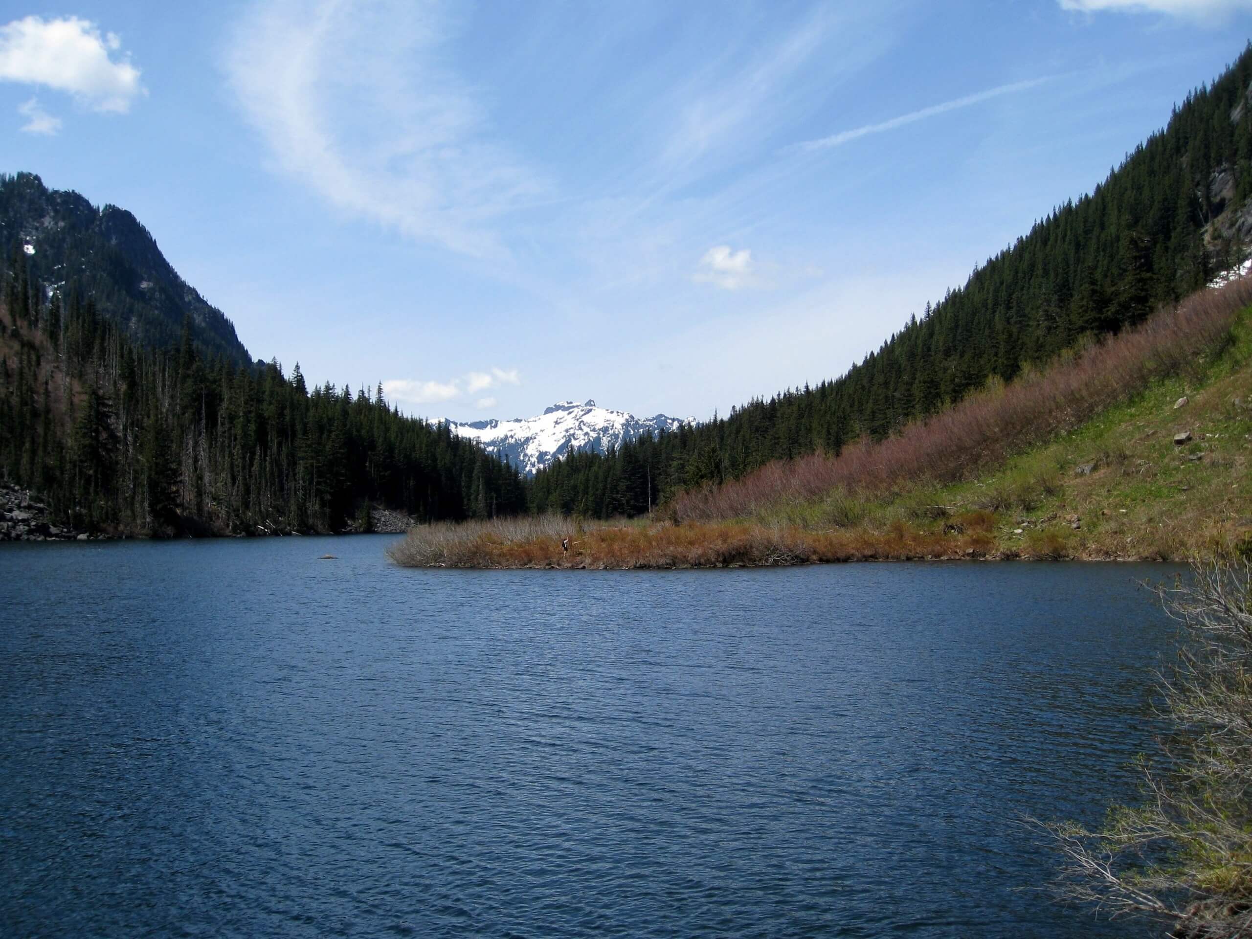
Goat Lake is a lovely blue-green lake surrounded by snowy mountains. The trail there offers rushing waterfalls, a babbling river, and majestic forest dotted with old-growth trees. The incline is flat or very gradual the entire way, making it an easy trip for the length. While Goat Lake is a great day hiking destination, it’s also popular with backpackers, who camp near the shores of the lake.
This trail is a common pick, so try to arrive early if you can to enjoy a bit less traffic and an easier time parking.
Goat Lake Trail begins at the far end of the parking lot. You’ll hike a short distance to a junction with Upper Elliot Trail and Lower Elliot Trail. You can take either one there and either one back, but most people take Upper Elliot there and Lower Elliot back for minimal elevation change.
To take Upper Elliot Trail, keep left. The trail doubles back on an old road and gently climbs the slope of the ridge beside you one wide switchback. There is an old, wide culvert in a stream you’ll need to cross, but if you don’t feel secure doing it, just turn around and take Lower Elliot instead.
Jagged peaks and two beautiful waterfalls dominate your view. Grab a handful of wild strawberries for strength. Note that the Chokwich Creek Trail heads left at 3.6 miles- continue straight on here.
The trails join, then it gets a little rocky and a bit steeper for the next section. There’s a stand of old cedars to admire, and then you’ll pass a big waterfall on the right as you switchback up. A signed junction before the lake points you in the direction of either the campsites or the day-use area. You’ll go right.
The day-use area by the lake has the best view, with the snow-clad peaks framing the still waters of the lake. Stay a while here, perhaps having a picnic or skipping some stones.
You can either take the same trail back or return on the other if you want a slightly different view on the return. If you took Upper Elliot up and want to take Lower Elliot back, stay left where the trail splits.
Trail Highlights
Goat Lake
Goat Lake shines with Cadet Peak towering over the headwaters. This little, peaceful lake is a low-elevation mountain lake, making it easy to reach. The original trail was used in the 1890s as a wagon route, but now it’s a pretty hiker-only access to the lake.
Frequently Asked Questions
Can you swim in Goat Lake?
Yes, you can swim in Goat Lake.
Are dogs allowed at Goat Lake?
Yes, but they must be kept on leash.
Are there fish in Goat Lake?
Yes, the lake is stocked with Rainbow Trout and also has a natural population of Eastern Brook Trout.
Insider Hints
Please don’t set up camp in the day-use areas. Stick to the camping sites!
No campfires are allowed at the lake.
You must be 200ft from the lake to camp.
Remember to have your Northwest Forest Pass ready for this hike.
Similar hikes to the Goat Lake Trail hike

Lakes Dorothy, Bear, Deer, and Snoqualmie Hike
The Lakes Dorothy, Bear, Deer, and Snoqualmie Hike provides access to Lake Dorothy, Bear Lake, Deer Lake, and Snoqualmie Lake.…

Gold Creek Trail to Joe Lake
Gold Creek Trail to Joe Lake is not a hike for the faint of heart. This lightly trafficked trail is…

Basin Lake via Bullion Basin Trail
Basin Lake via Bullion Basin Trail is a 12.2mi hike that, with 2900ft of elevation gain,…


Comments