
Deception Falls Interpretive Trail
View Photos
Deception Falls Interpretive Trail
Difficulty Rating:
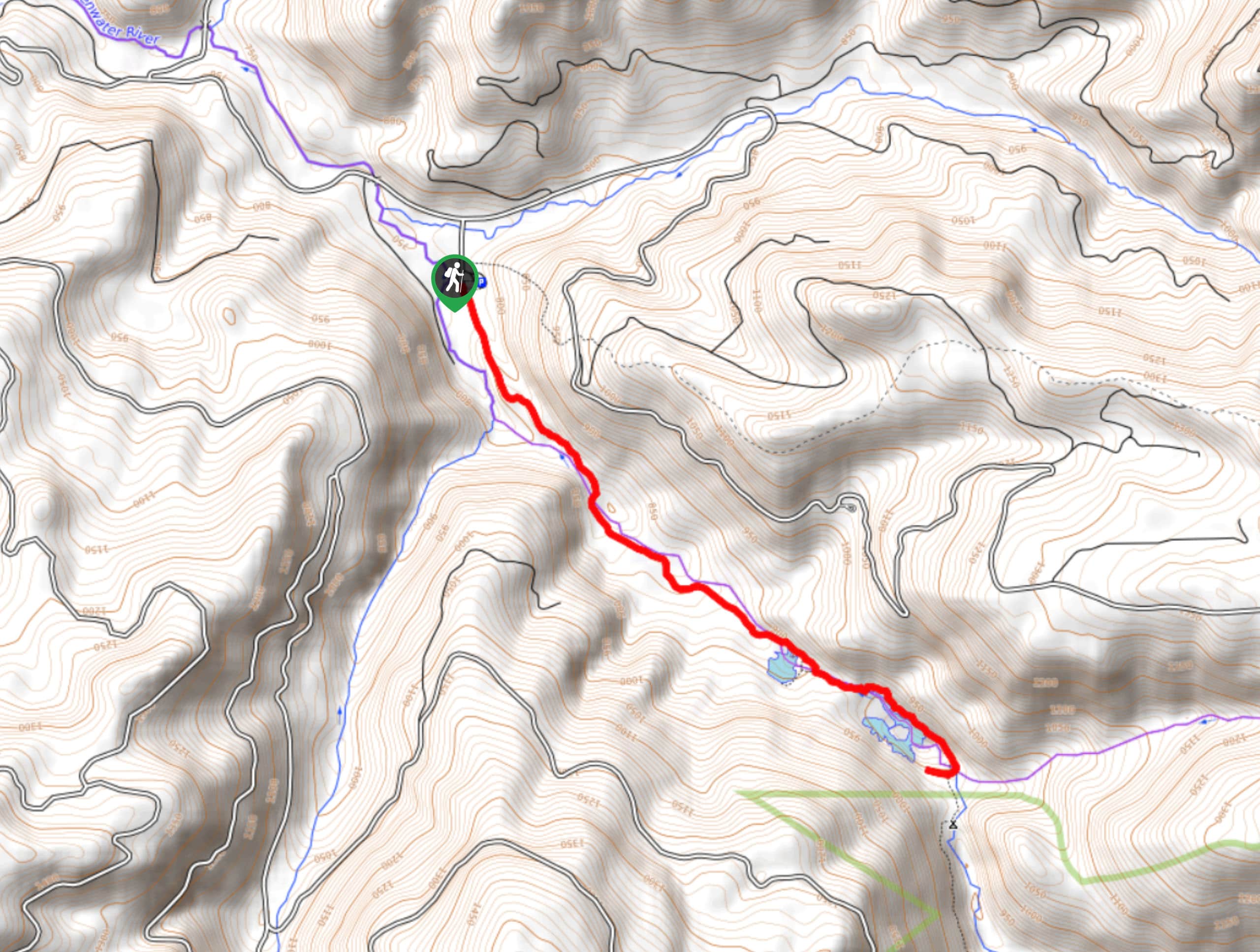
The Deception Falls Interpretive Trail is a 0.6mi moderately trafficked loop trail in Mount Baker-Snoqualmie National Forest that is rated as easy. This is a pleasant stop off the highway, with a kid-friendly hike featuring waterfalls and a nice picnic area. While it’s brief, it’s very pretty!
Getting there
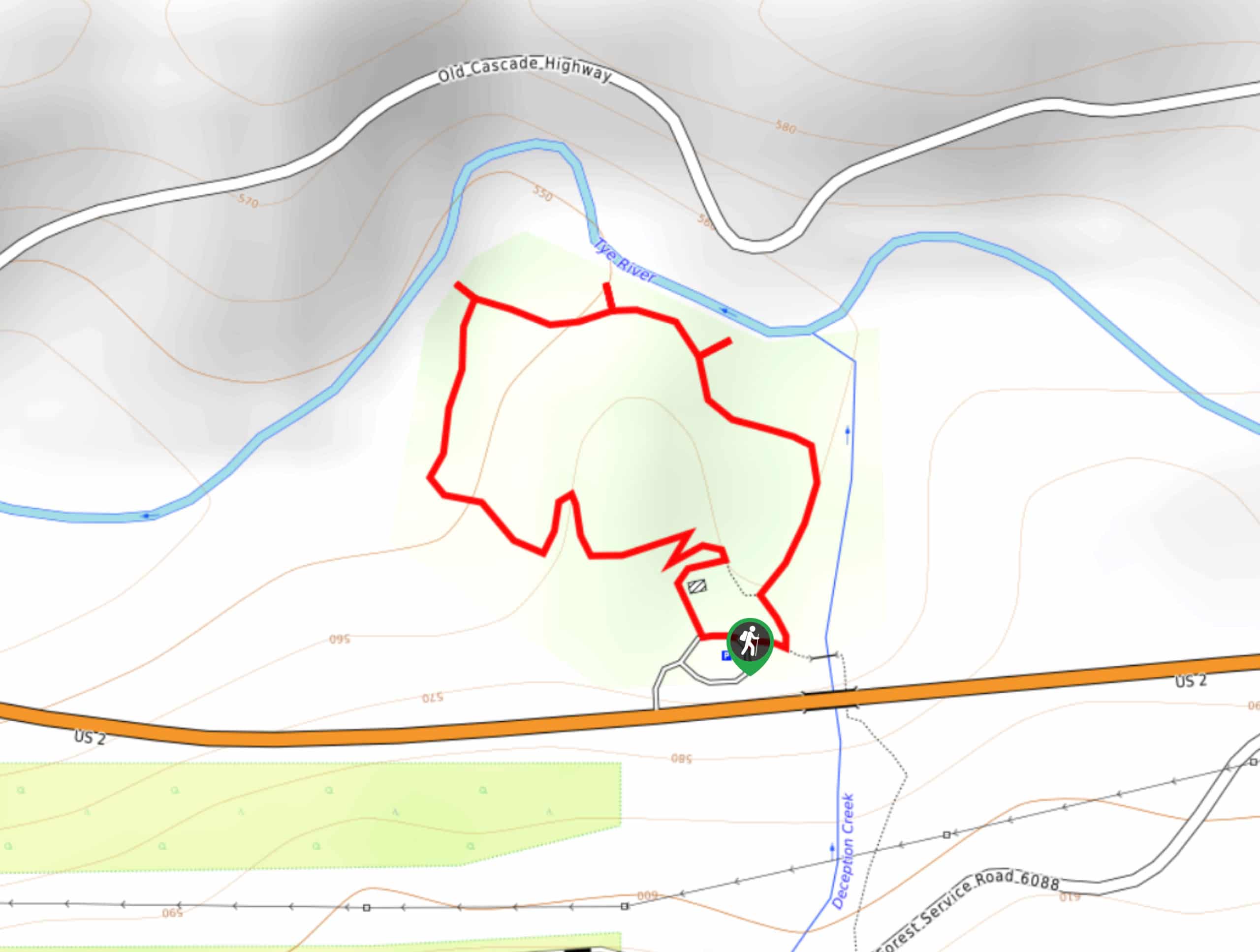
The trailhead for the Deception Falls Interpretive Trail is right off US 2 at the crossing of Deception Creek. There is a parking area on the north side of the road.

About
| Backcountry Campground | No |
| When to do | May-October |
| Pets allowed | Yes - On Leash |
| Family friendly | Yes |
| Route Signage | Good |
| Crowd Levels | Moderate |
| Route Type | Loop |
Deception Falls Interpretive Trail
Elevation Graph
Weather
Deception Falls Interpretive Trail Description
The trail begins from a clean, free parking area off the highway. There is a good picnic area and some passable restrooms. You can do the loop either way, and it’s nearly impossible to get lost. Walking clockwise, you’ll loop to the Tye River. The first viewpoint is of the falls at the river.
Continue around the trail, where a second viewpoint is available on your left. Complete the hike by following the river back down to the picnic area and parking lot. Interpretive signs share information about the falls and park, so take a minute to read them before setting up your picnic or hopping back into the car.
Similar hikes to the Deception Falls Interpretive Trail hike
Hyak Creek Trail
Hyak Creek Trail is an easy 1.9mi trail in Mount Baker-Snoqualmie National Forest. This lightly trafficked trail is…
Beaver Lake Trail
Beaver Lake Trail is a quick, pretty hike in the Snoqualmie Pass area. This hike explores the ski area in…
Greenwater Lakes Trail
Greenwater Lakes Trail is a heavily trafficked trail that is rated as easy. This route only involves 492ft…
Comments