
Barclay Lake Trail
View Photos
Barclay Lake Trail
Difficulty Rating:
Barclay Lake Trail is a 4.4mi heavily trafficked out-and-back trail that is rated as easy. This trail doesn’t require too much effort but offers lovely views, so it’s a top pick for families and new hikers in the area. This trail is best hiked during the week if you can manage it because of its popularity, and it receives a lot of precipitation, so take care if the trail is wet and muddy.
Barclay Lake is just part of the fun—you’ll enjoy Barclay Creek and Baring Mountain in their glory.
Getting there
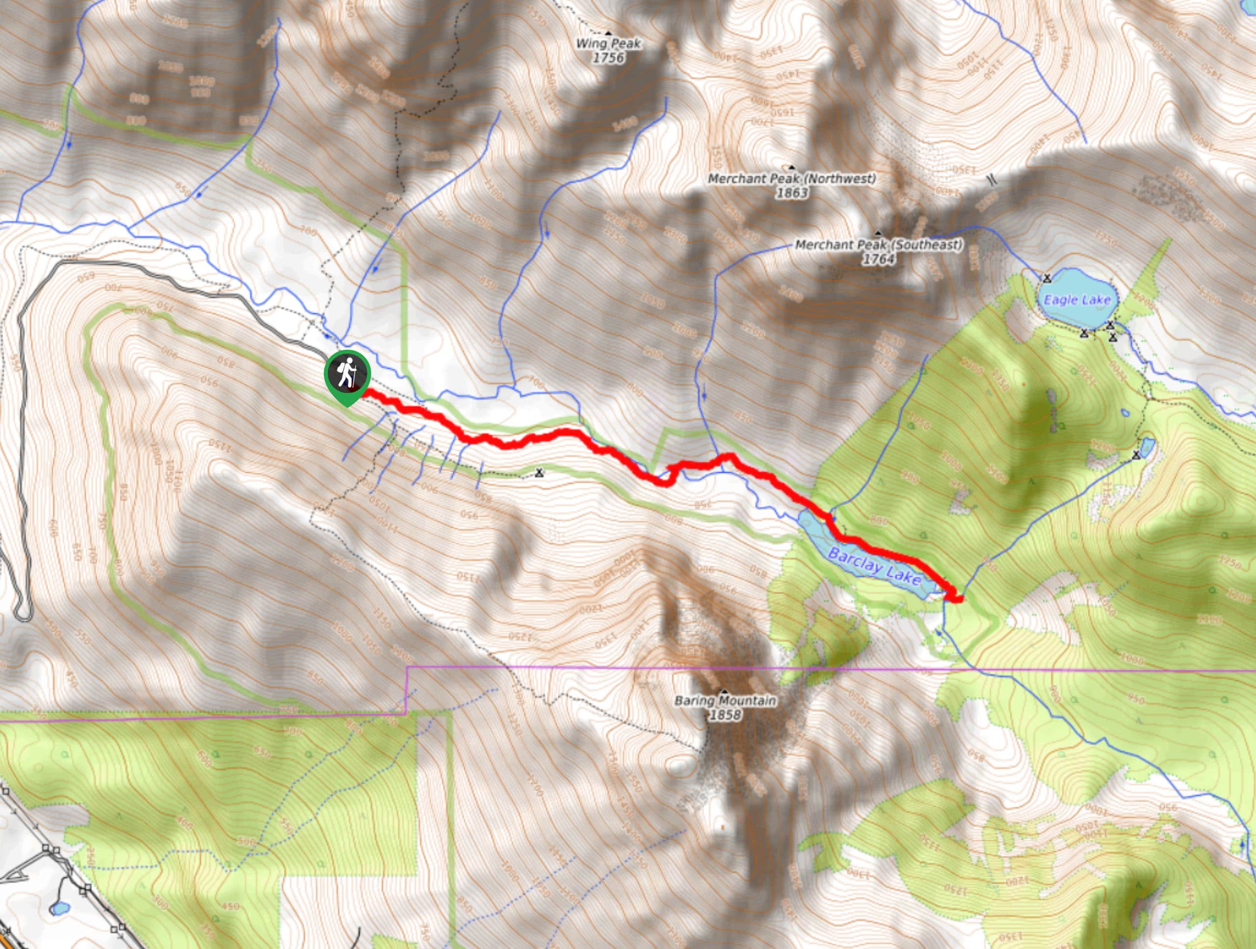
The trailhead for the Barclay Lake hike is off FR-6024. Look for the signed trailhead.

About
| Backcountry Campground | Barclay Lake |
| When to do | May-October |
| Pets allowed | Yes - On Leash |
| Family friendly | Yes |
| Route Signage | Good |
| Crowd Levels | High |
| Route Type | Out and back |
Barclay Lake Trail
Elevation Graph
Weather
Barclay Lake Trail Description
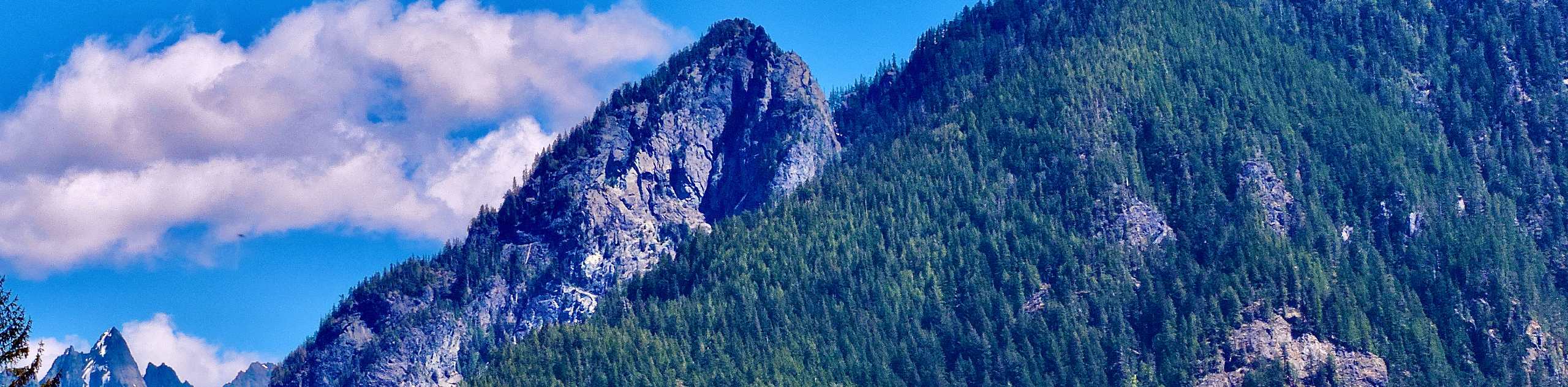
Barclay Lake is a serene destination, and the views of Baring Mountain that greet you upon arrival are awesome. This hike is very popular because of its low difficulty level, but the trail is tirelessly maintained (necessary due to the amount of rain this area receives). With modest elevation gain and a kid-friendly route, this hike is sure to become a family favourite. Beginner hikers or those seeking a laidback day will also enjoy this trail.
We highly recommend saving this hike for a clear day, as the view of Baring Mountain can easily become obscured in the fog.
The hike begins from the parking lot on a trail heading generally southeast. The forest around the start of the day is reviving after being cut down. You’ll hike along Barclay Creek for most of the hike. You’ll undulate gently as you approach the lake, gaining 200ft of elevation in a very relaxed manner.
Observe the Douglas firs, hemlocks, and cedars alongside the trail. While the beginning of the trail was previously clear cut, some old-growth trees remain to be appreciated.
Cross Barclay Creek at 1.2 miles. There is a log bridge with a railing, but the bridge can be quite slick if wet. Past the crossing, Barclay Lake unveils itself in about a half-mile.
Baring Mountain is the star of your view at the lakeshore, but the trees, quiet water, and reflecting sky all add to the experience. The trail continues about a half-mile along the shoreline, and you can slowly loop around to enjoy the lake from a few different angles.
When you’re ready, retrace your steps back to the parking lot.
Hiking Route Highlights
Baring Mountain
Baring Mountain rises 6127ft above Barclay Lake. Its steep rise above low footings makes it a dramatic sight, and the impressive northeastern face drops especially steeply to the lake. The peak was previously named Mount Index before being renamed, and West Index Mountain was renamed as Mount Index. Baring Mountain was first climbed by John Carlton and Albert H. Sylvester in July 1897.
Frequently Asked Questions
Can you fish in Barclay Lake?
Yes, you can fish at Barclay Lake. Please ensure you have all required permits.
Do I need a pass for Barclay Lake?
Yes. Please have your Northwest Forest Pass ready.
Insider Hints
A clear day is essential for this hike, otherwise the views tend to be very obscured.
Watch for potholes on the drive in.
This trail can be muddy, so waterproof boots are ideal.
Similar hikes to the Barclay Lake Trail hike
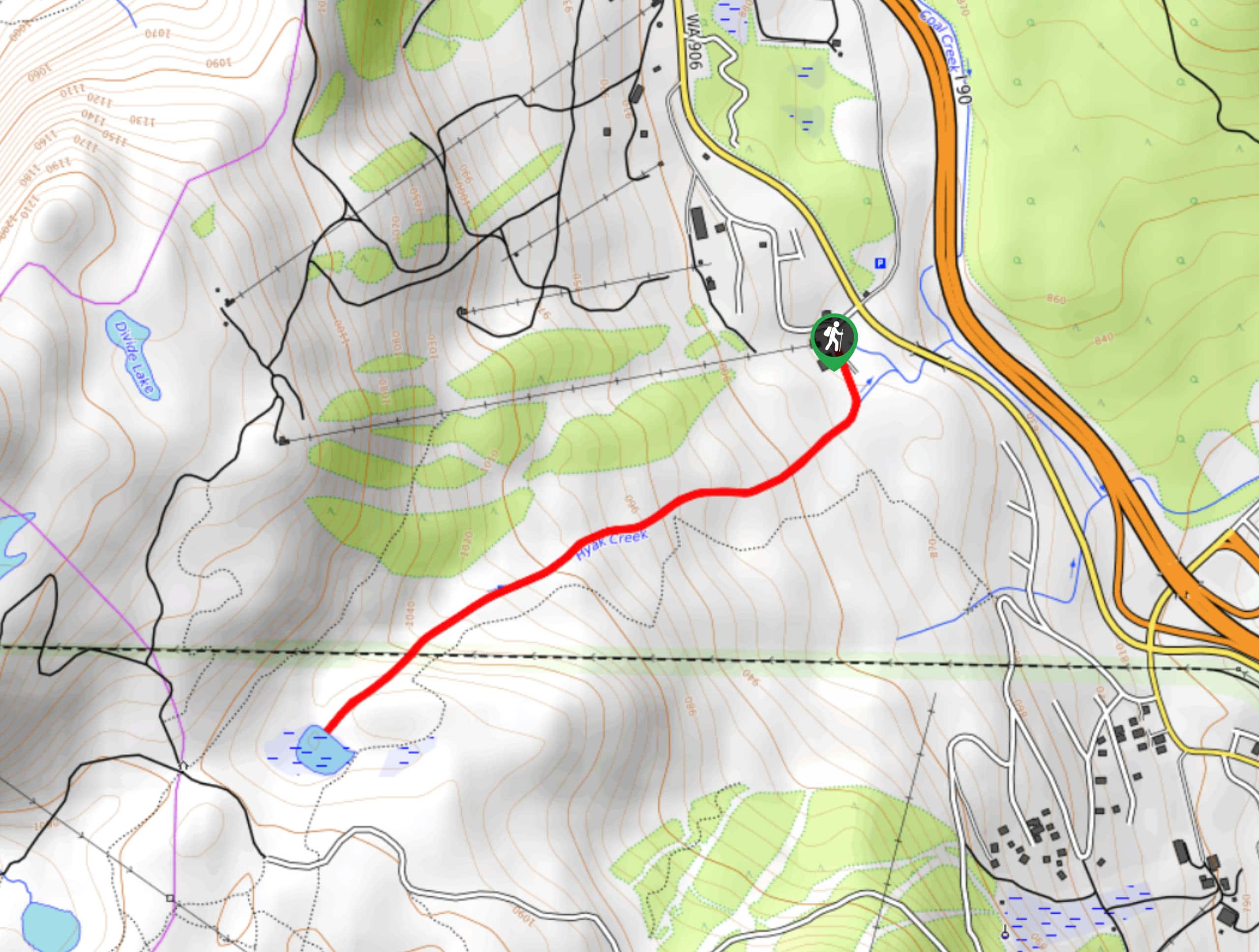
Hyak Creek Trail
Hyak Creek Trail is an easy 1.9mi trail in Mount Baker-Snoqualmie National Forest. This lightly trafficked trail is…
Stegosaurus Butte Trail
Stegosaurus Butte Trail is a lightly trafficked route that is only 1.9mi long, but that requires some climbing…
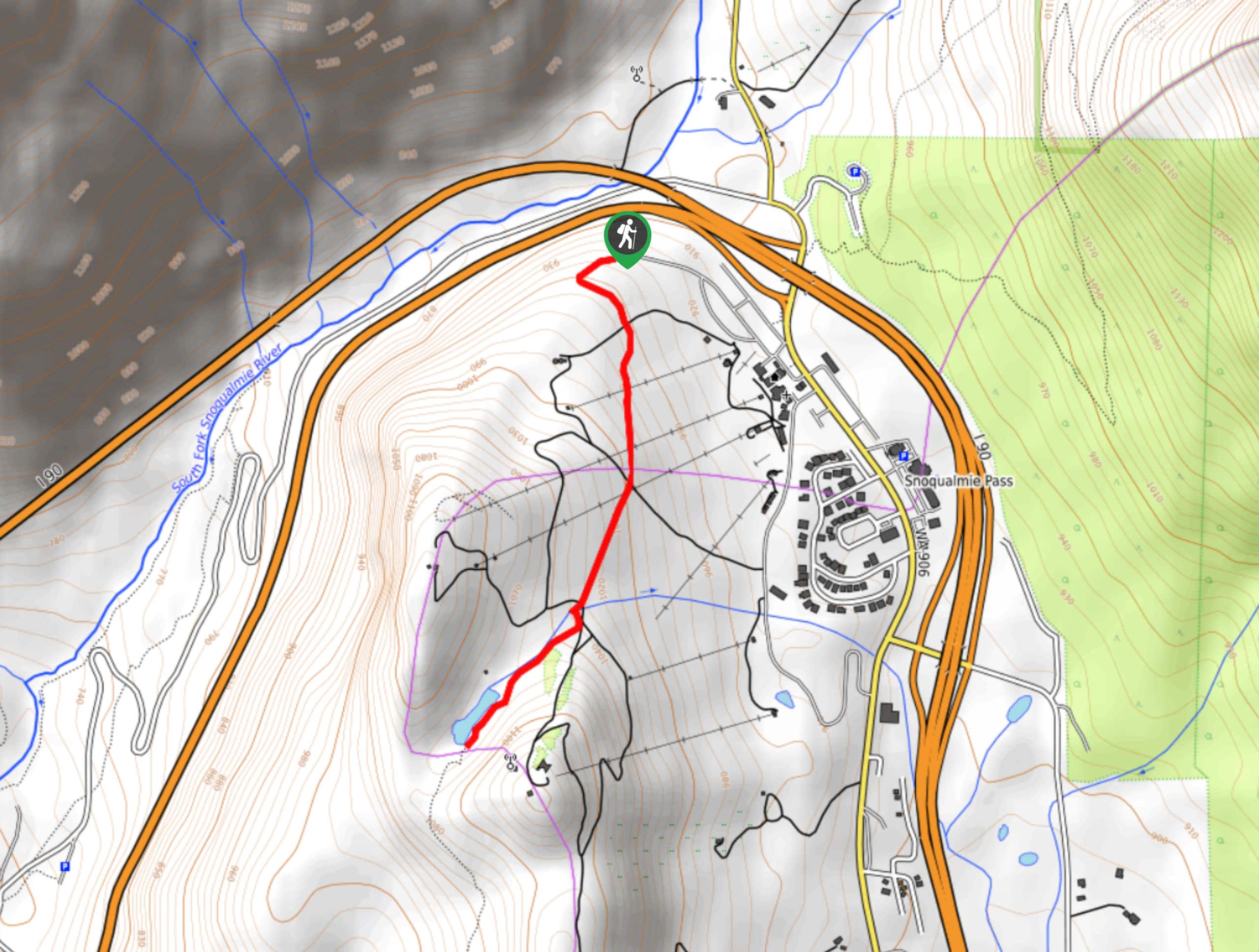
Beaver Lake Trail
Beaver Lake Trail is a quick, pretty hike in the Snoqualmie Pass area. This hike explores the ski area in…
Comments