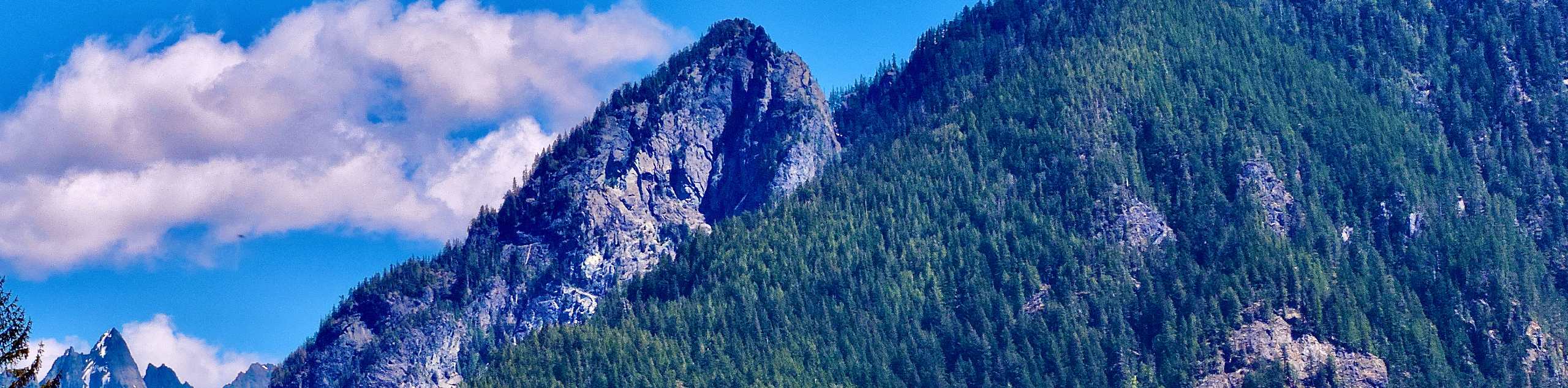
Stegosaurus Butte Trail
View Photos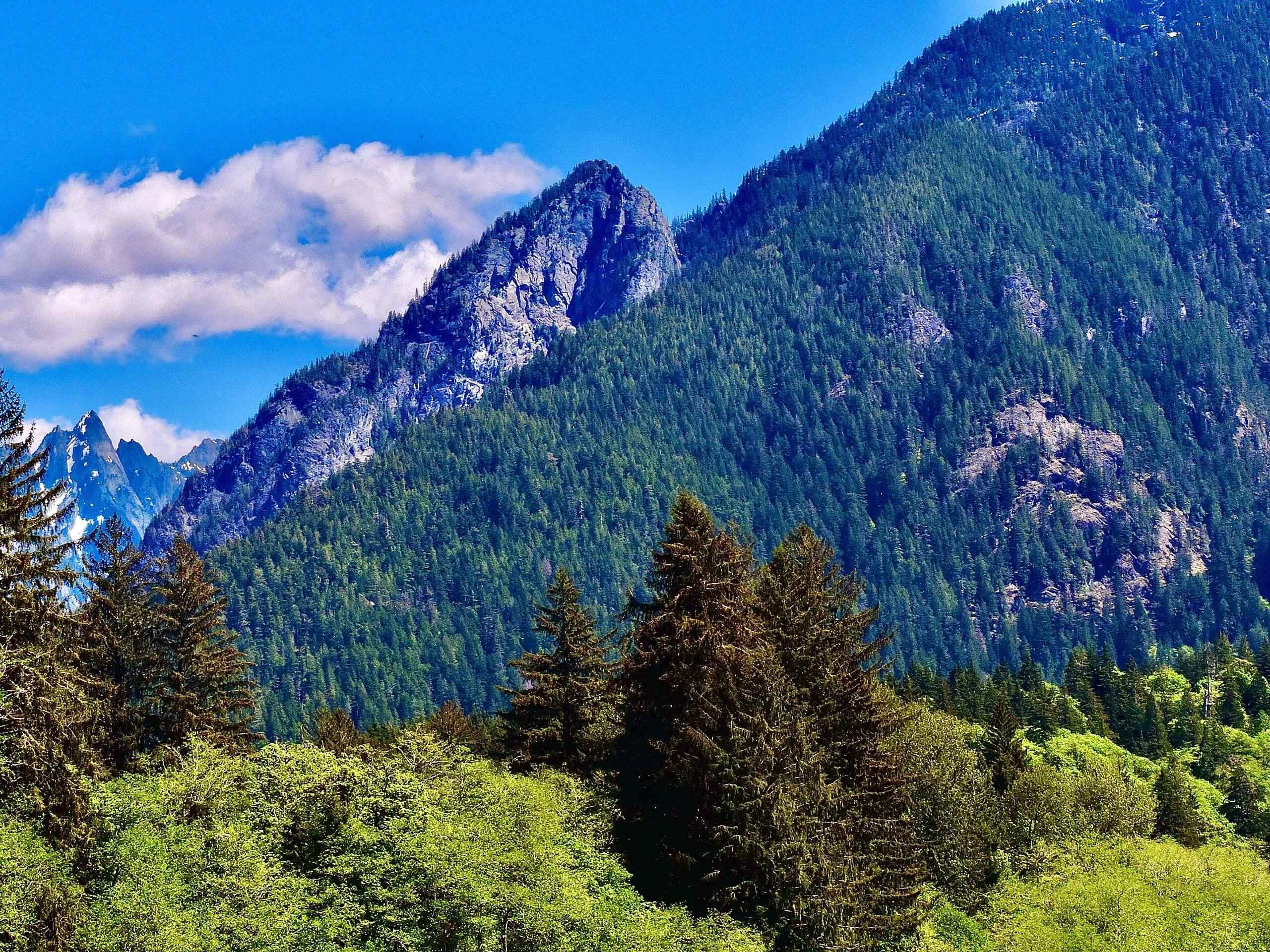
Stegosaurus Butte Trail
Difficulty Rating:
Stegosaurus Butte Trail is a lightly trafficked route that is only 1.9mi long, but that requires some climbing and is thus rated as moderate. This trail isn’t family-friendly because of the scrambling required, but it’s a good workout if you don’t have much time to spare.
Getting there
The trailhead for Stegosaurus Butte Trail is south of Middle Fork Campground in the parking loop off National Forest Development Road 56.

About
| Backcountry Campground | No |
| When to do | June-October |
| Pets allowed | Yes - On Leash |
| Family friendly | No |
| Route Signage | Poor |
| Crowd Levels | Low |
| Route Type | Out and back |
Stegosaurus Butte Trail
Elevation Graph
Weather
Stegosaurus Butte Trail Description
Stegosaurus Butte is a quick little trail, but it does require some scrambling and packs solid elevation gain into a very short trail. Some hikers love this trail and some find the views to be average, but give it a try and decide for yourself how you like it.
Begin by taking Middle Fork Trail across the river and go right onto the Pratt Connector Trail. Stay left twice around the curve and enjoy a brief moderate section of trail before beginning your ascent onto the butte.
This part of the trail is rocky, rooty, steep, and hands-on at times. If you brought poles, you’ll be glad to have them on the way back down! Grind your way atop the butte, where you can traverse across the top to the summit.
After enjoying the top, retrace your steps to the trailhead, taking care as you descend on steep sections.
Similar hikes to the Stegosaurus Butte Trail hike

Lakes Dorothy, Bear, Deer, and Snoqualmie Hike
The Lakes Dorothy, Bear, Deer, and Snoqualmie Hike provides access to Lake Dorothy, Bear Lake, Deer Lake, and Snoqualmie Lake.…

Gold Creek Trail to Joe Lake
Gold Creek Trail to Joe Lake is not a hike for the faint of heart. This lightly trafficked trail is…

Basin Lake via Bullion Basin Trail
Basin Lake via Bullion Basin Trail is a 12.2mi hike that, with 2900ft of elevation gain,…
Comments