Berlinerhütte over Mörchnerscharte Hike
View Photos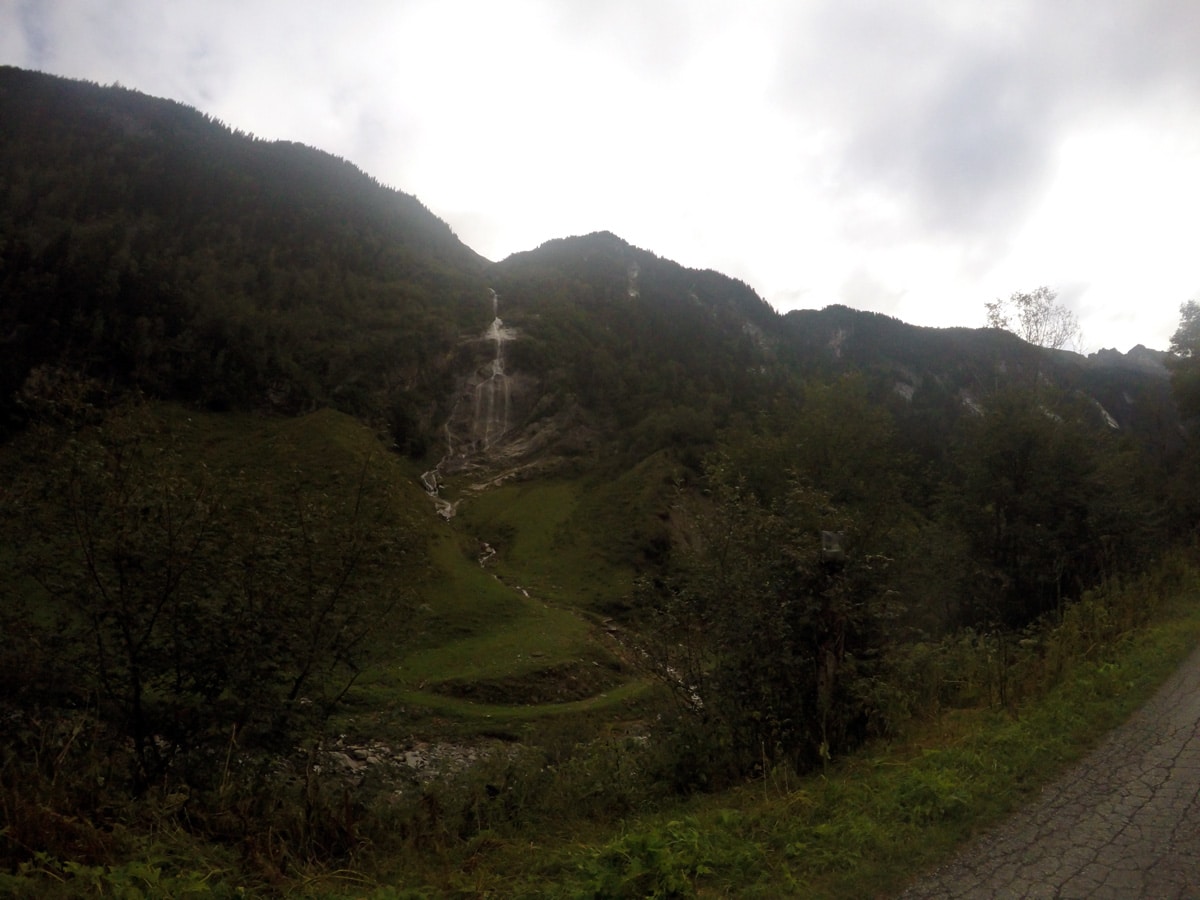
Berlinerhütte over Mörchnerscharte Hike
Difficulty Rating:
Berlinerhütte over Mörchnerscharte is a challenging and spectacular hike! It is part of the famous “Berliner Höhenweg” and requires sure-footedness and endurance. It is part of the annual Steinbockmarsch when people will compete against each other to show their strength.
Getting there
From Mayrhofen to the B169 south. Make a left to Ginzling and follow this street to the Naturpark Haus in Ginzling, where there is a parking lot.

About
| When to do | July to September |
| Backcountry Campsites | No |
| Toilets | At the tourist office right at the start, at Berliner Hütte and in Breitlahner at the Restaurant. |
| Family friendly | No |
| Route Signage | Good |
| Crowd Levels | Moderate |
| Route Type | Loop |
Berlinerhütte over Mörchnerscharte Hike
Elevation Graph
Weather
Route Description for Berlinerhütte over Mörchnerscharte Hike
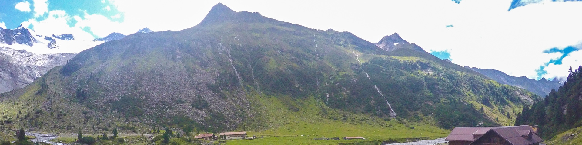
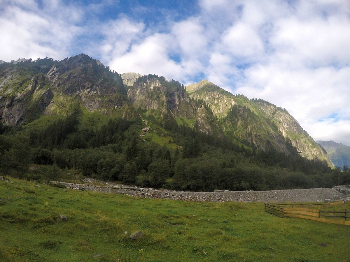
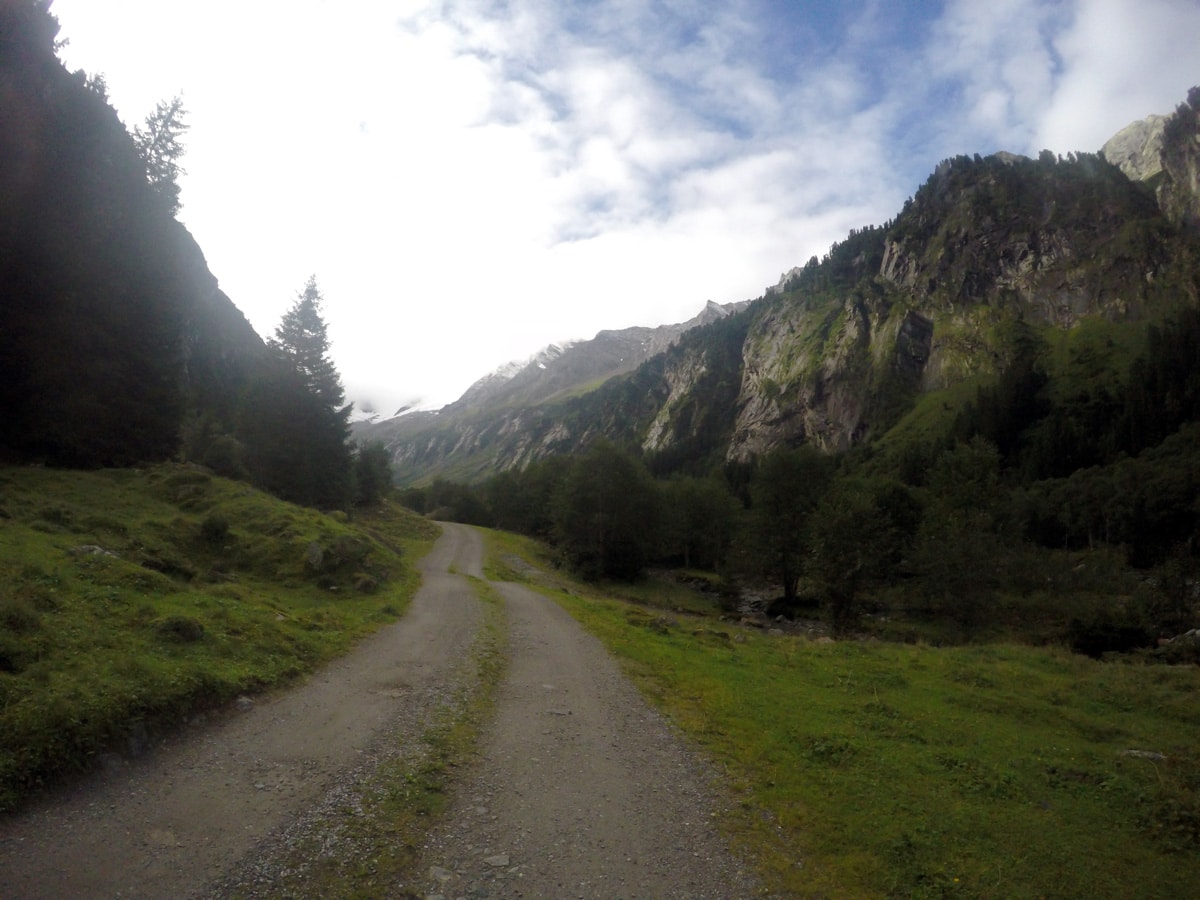
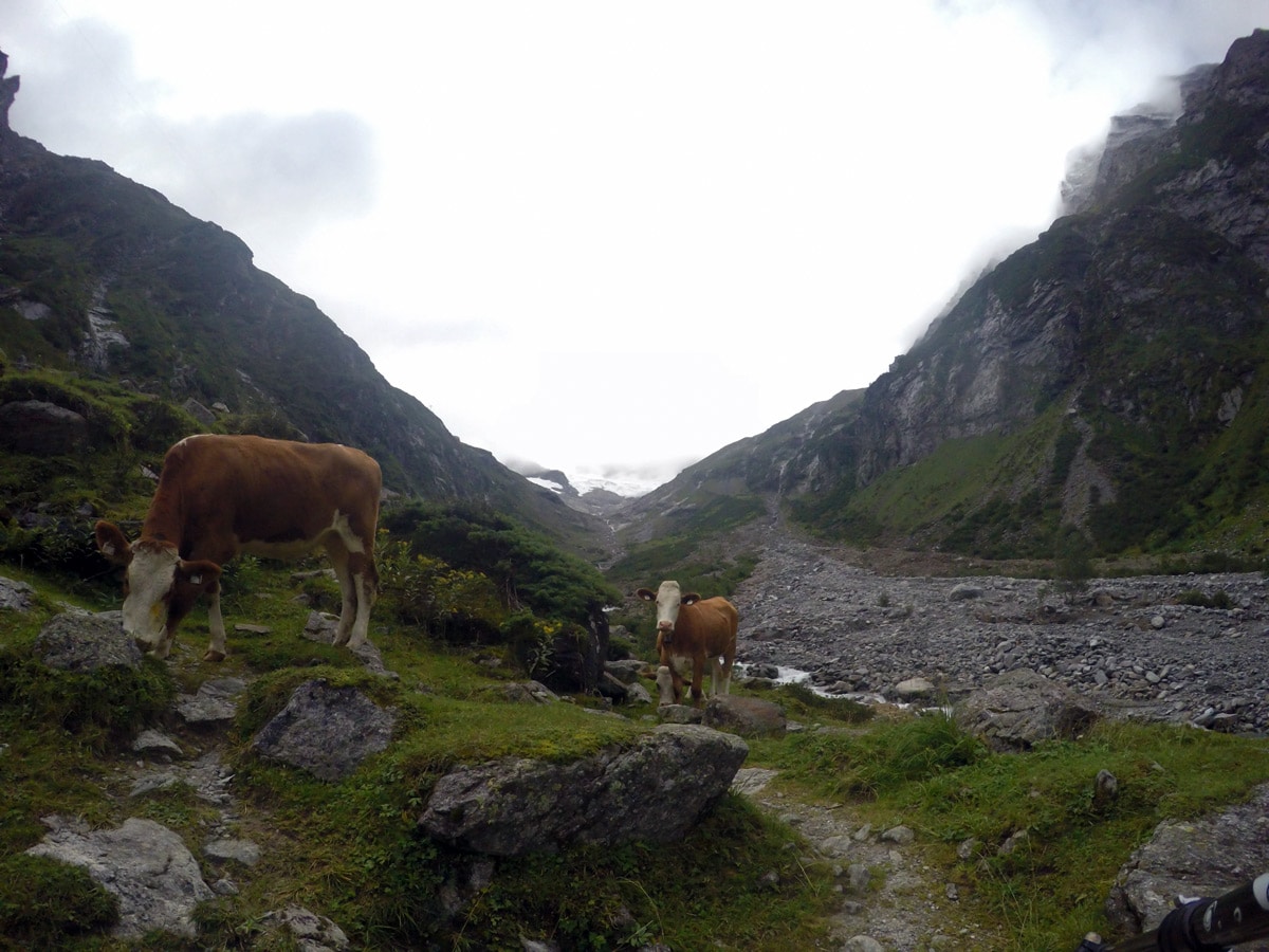
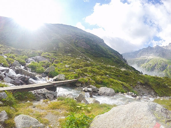
Start at the Naturparkhaus in Ginzling and follow the asphalt road on the left side. Follow this road as it soon becomes a gravel road. Pass Tristenbachalm and then Steinbockhütte, which is a great place for a quick refreshment.
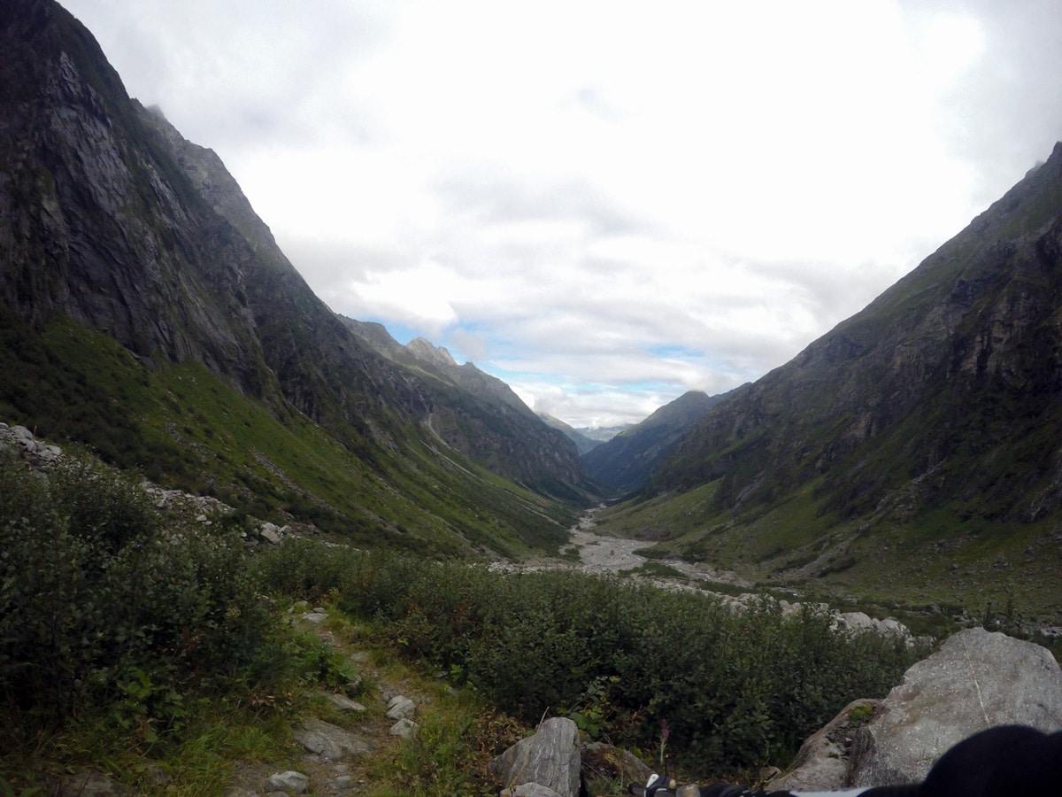
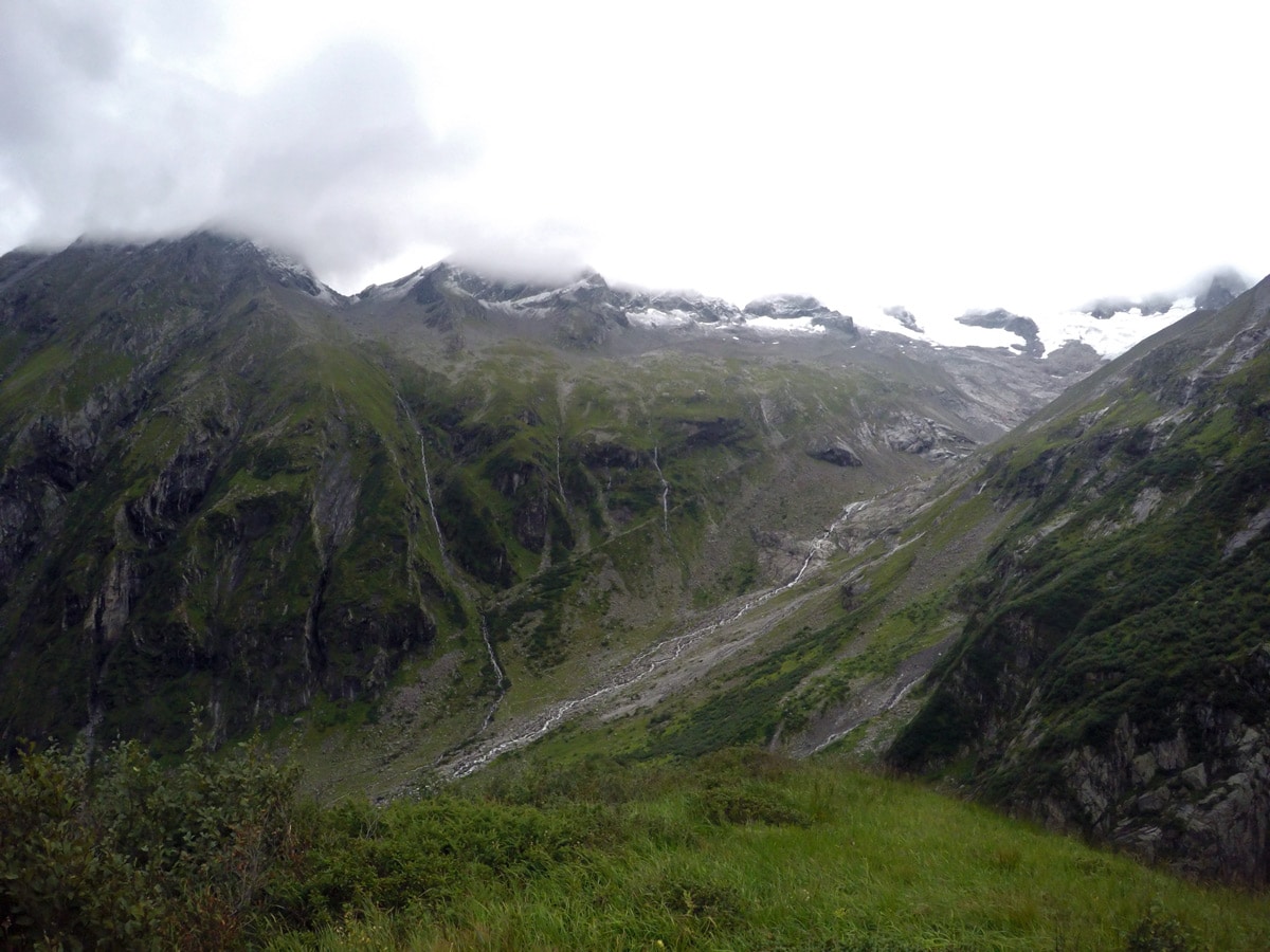
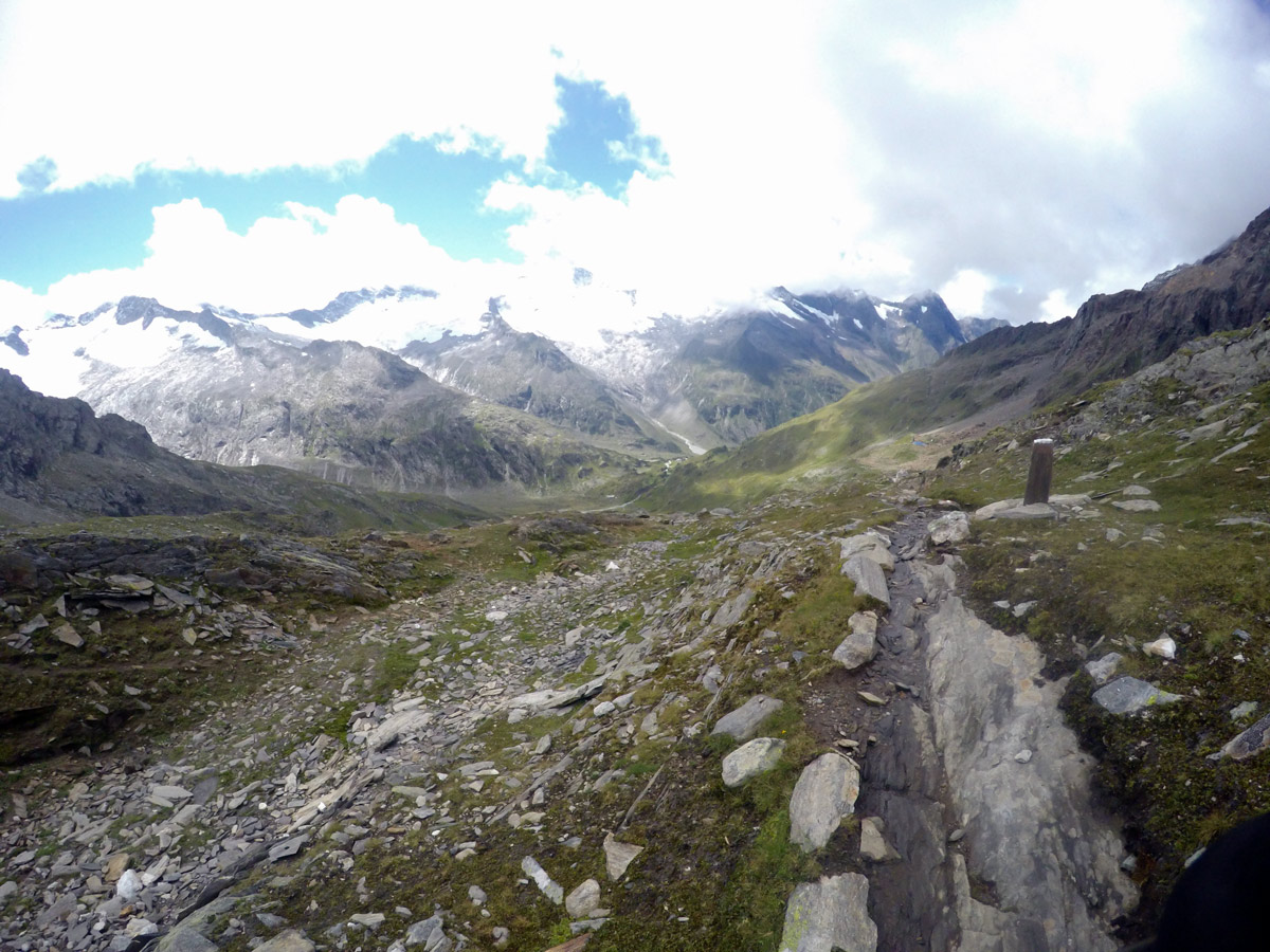
After about 1.5 hours of following the Floitenbach stream, you get to a point where the path becomes smaller. Follow the red marks on the rocks to a yellow sign and keep right to cross a mountain stream. If you need a break, the Greizer Hütte is up ahead (although we did not make a stop there).
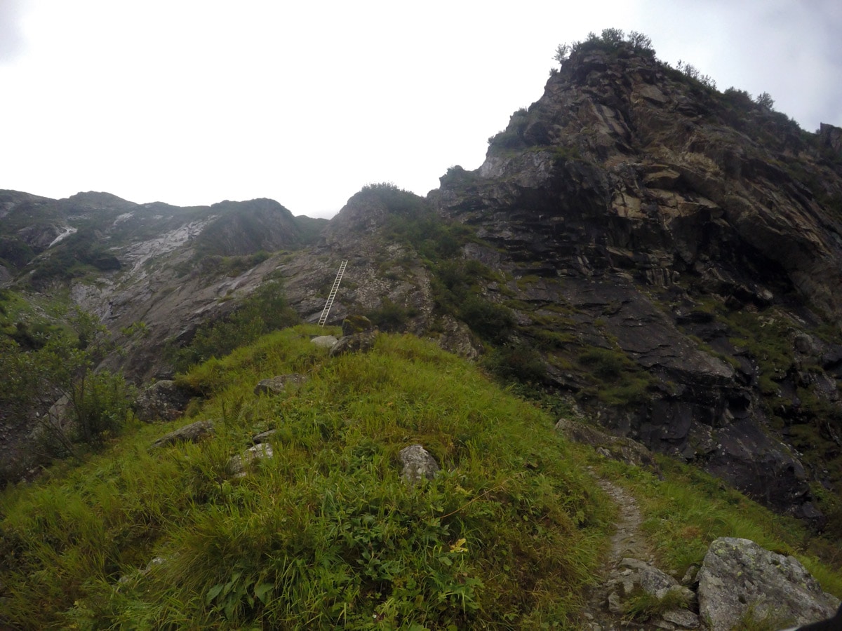
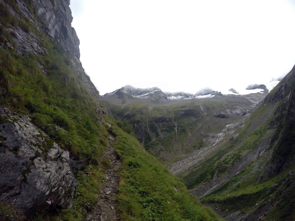
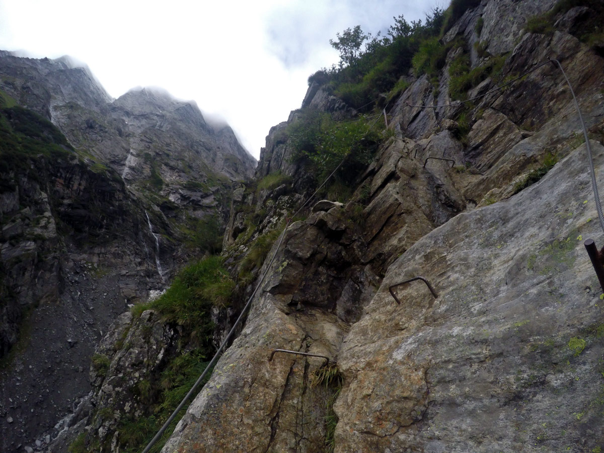
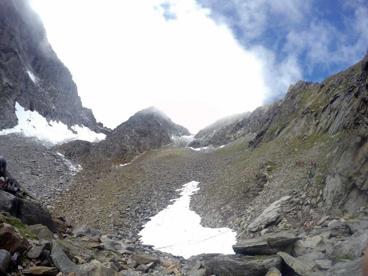
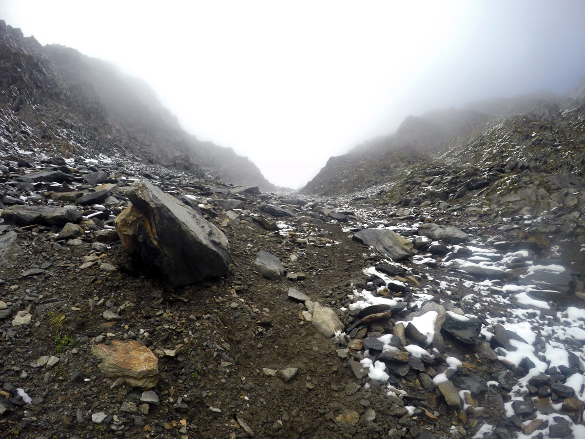
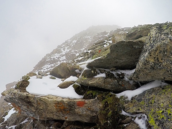
Once over the stream the route will become steeper with some obstacles like a ladder used to climb up rocks. Hike up to Mörchnerscharte and always watch out for red marks on the rocks to stay on the right path. In bad weather the ladders and ropes are very challenging, and not recommended.
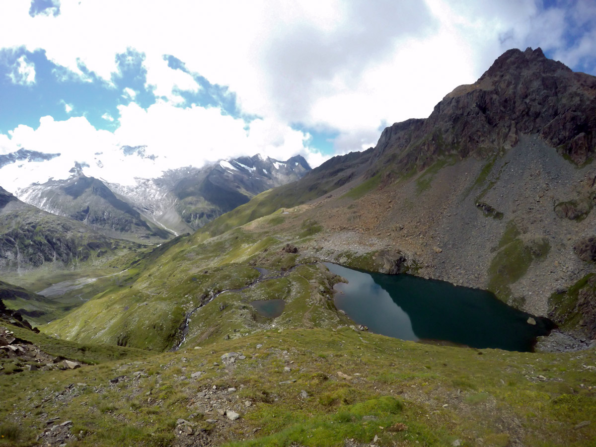
The views from the Mörchnerscharte are spectacular. Continue down the other side to a lake called Schwarzsee.
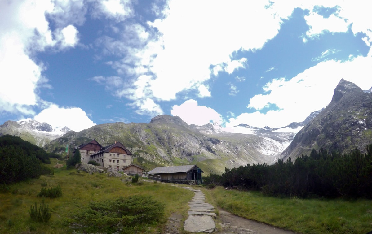
From Schwarzensee, follow the yellow signs to Berliner Hütte. This is a very nice hut, with great food in a beautiful location. Many people stop here for the night, making this a 2-day trip rather than one long day.
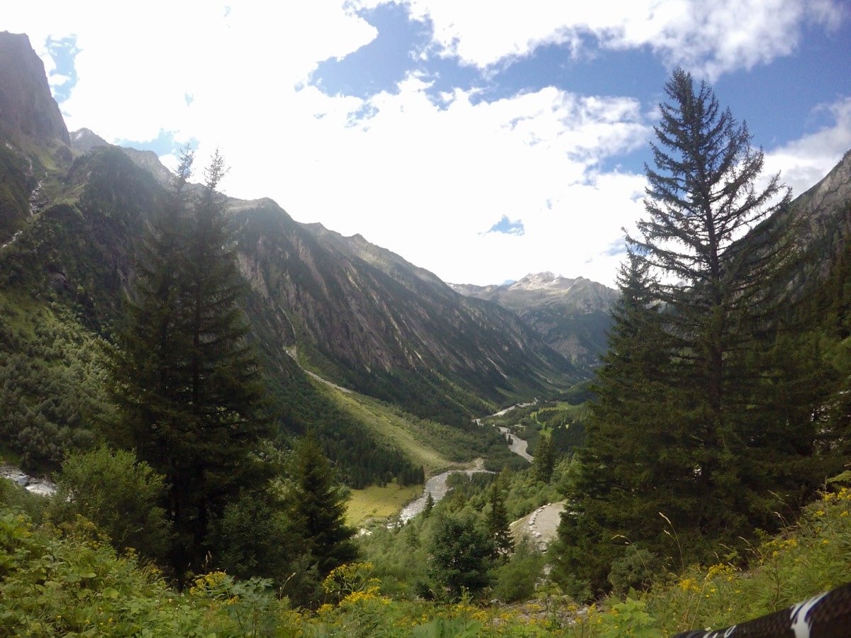
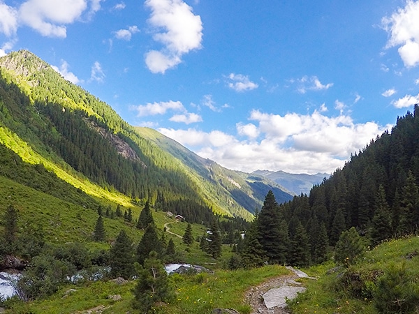
From the Berliner Hütte, the path leads down to Breitlahner, passing several other huts along the way. Once in Breitlahner you can catch the bus back to Ginzling Naturparkhaus.
Insider Hints
This is a difficult, exposed hike. Before you start the hike, check the weather to see if there are any thunderstorms coming up later in the day. Ask at the tourist office if there have been any rockfalls or heavy temperature fluctuations the last few days. If so, ask if they recommend a different tour.
Start slowly to save your energy for the really steep parts.
Take some snacks with you.
Watch out for marmots, chamois and other animals. There is a good chance to see some around the highest peak but be careful because they can cause rockfalls.
Have a great meal at the Berliner Hütte to reenergize and to get back to Breitlahner. Your body will need it!
Check bus times to see when the last bus is. Currently Route 4102 from Mayrhofen to Schlegeis Stausee is the route. From Mayrhofen to Ginzling you can choose between two streets. Definitely take time and wait at the traffic light to drive through the tunnel at least one way.

Similar hikes to the Berlinerhütte over Mörchnerscharte Hike hike
Plauener Hütte Hike
The Plauener Hutte route is a stunning hike near Mayrhofen that has it all including incredible views of mountains and…
Zittauer Hütte Hike
The hike to Zittauer Hütte offers a moderate hike for both the young and old. There is lots to see…
Ahornspitze Hike
The Ahornspitze hike is spectacular! The trail begins at the top of the Ahornbahn lift, which you take from Mayrhofen.…
Jakob F. 4 years ago
Challenging hike with rewarding views
Alexis Schweitzer 4 years ago
It's Fantastic hike with some steep areas
Antonia Monte Alba 5 years ago
Save your energy for the steep parts. Also, watch out for the rockfalls.
Clyde W. 5 years ago
Nice hike that requires a lot of stamina and endurance. There's also a nice hut that serves delicious food in a beautiful location.
Sandy C. 5 years ago
A challenging and spectacular hike. Be careful of the route with steep slopes. This hike will take a lot from you.
Issa Deraulo 5 years ago
This hike is god damn hard, but I love it. My foot was swelling after finishing it.
Fredy 5 years ago
Berlinhutte uber the Morchnerscharte trail was very hard. It was a very long day and i did stop many times to rest. Take a lot of water and good jacket for wind.