
Rock Caves Loop
View Photos
Rock Caves Loop
Difficulty Rating:
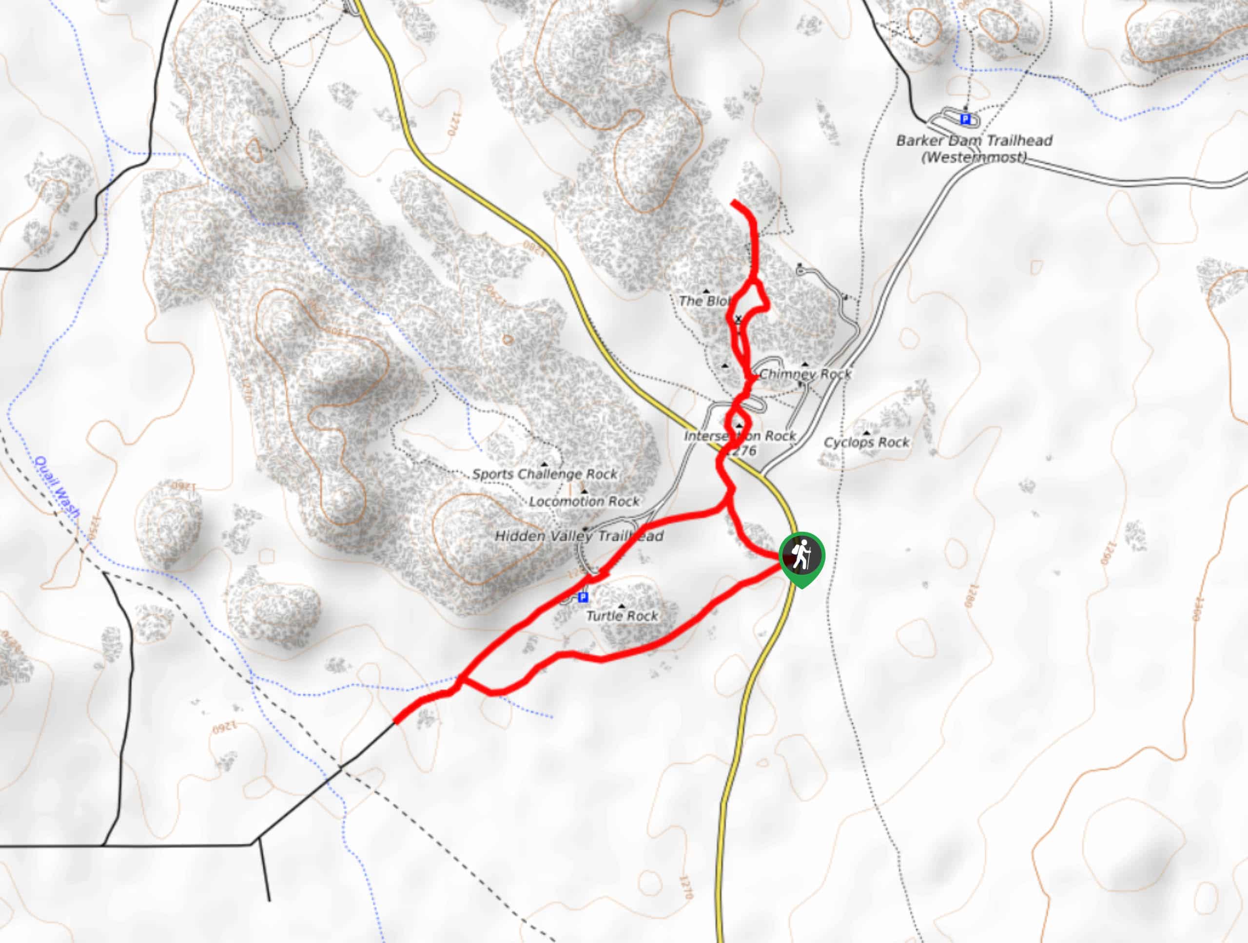
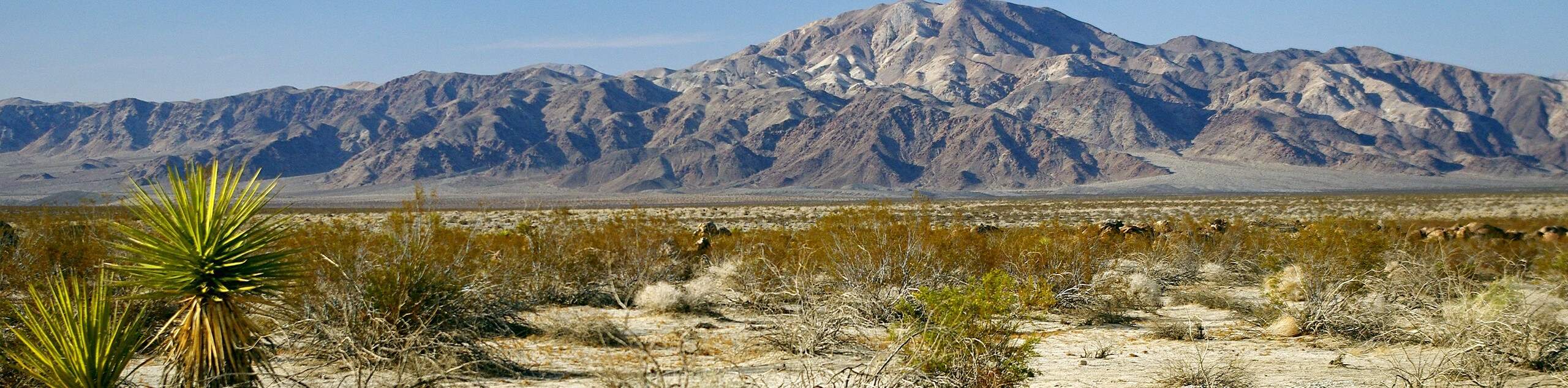
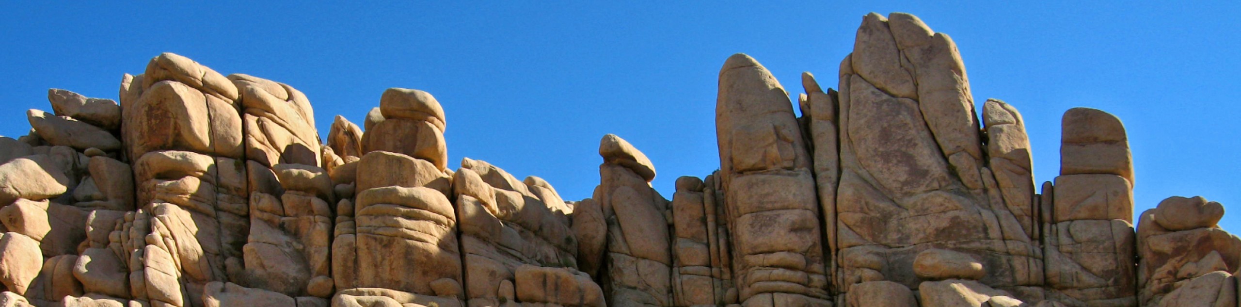
The Rock Caves Loop has no shortage of things to see as it weaves throughout many of the notable rock formations within Joshua Tree National Park. From the Old Woman to Intersection Rock, this route ensures that you are never too far away from an interesting landmark. Take your time and explore the variety the Rock Caves Loop has to offer.
Getting there
The trailhead for Rock Caves Loop is located at a parking lot on Park Boulevard Road.

About
| Backcountry Campground | |
| When to do | Year-round |
| Pets allowed | No |
| Family friendly | Yes |
| Route Signage | Poor |
| Crowd Levels | Moderate |
| Route Type | Lollipop |
Rock Caves Loop
Elevation Graph
Weather
Rock Caves Loop Description
Sections of the Rock Caves Loop do not follow a defined trail, and so care should be taken to avoid getting lost. It is best to ensure you have some kind of mapping tool to help aid you throughout the route. Likewise, the Rock Caves Loop is also within the desert environment of Joshua Tree National Park, and so you should prepare yourself for the conditions by bringing lots of water, sunscreen and a good hat.
Having located the parking lot, begin to make your way southwest across the flat terrain that lay ahead. After a few hundred feet, Turtle Rock will be visible to your west. Continue on southwest past Turtle Rock until you reach a stream that could have water in it, but this all depends on the time of year you go. At the stream, the route veers northeast along an established trail. Follow this trail towards the park road, and along the eastern side of Turtle Rock.
After passing Turtle Rock, the Rock Caves Loop continues northeast towards Park Boulevard, where it then crosses the road. With Park Boulevard crossed, the route passes Intersection Rock to the west and then makes its way through Hidden Valley Campground. Once at the campground, the Rock Caves Loop turns sharply south, passes Intersection Rock on its eastern side, and then returns you to your waiting vehicle.
Similar hikes to the Rock Caves Loop hike
Keys View Road to Pinto Basin Road Trail
The Keys View Road to Pinto Basin Road Trail is a moderately difficult one-way route in Joshua Tree National Park.…
Willow Hole Trail
The Willow Hole Trail is a picturesque route that provides lots of opportunities for wildlife viewing throughout its duration. The…
Wall Street Mill Trail
Short in length, but packed with things to see, the Wall Street Mill Trail is an ideal route for families…
Comments