
Pinto Mountain Trail
View Photos
Pinto Mountain Trail
Difficulty Rating:
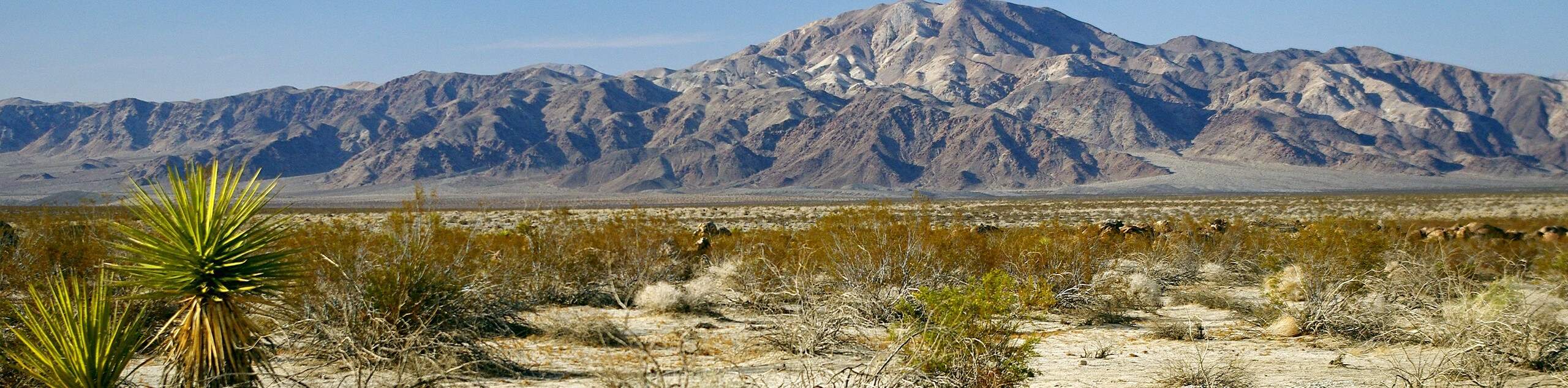
The Pinto Mountain Trail is a secluded and physically demanding route that should only be attempted by experienced hikers. While challenging, the Pinto Mountain summit is an incredibly scenic lookout point that provides stunning panoramic views of the surrounding Joshua Tree National Park landscape. In addition to the views, opportunities for wildlife viewing are also plentiful.
Getting there
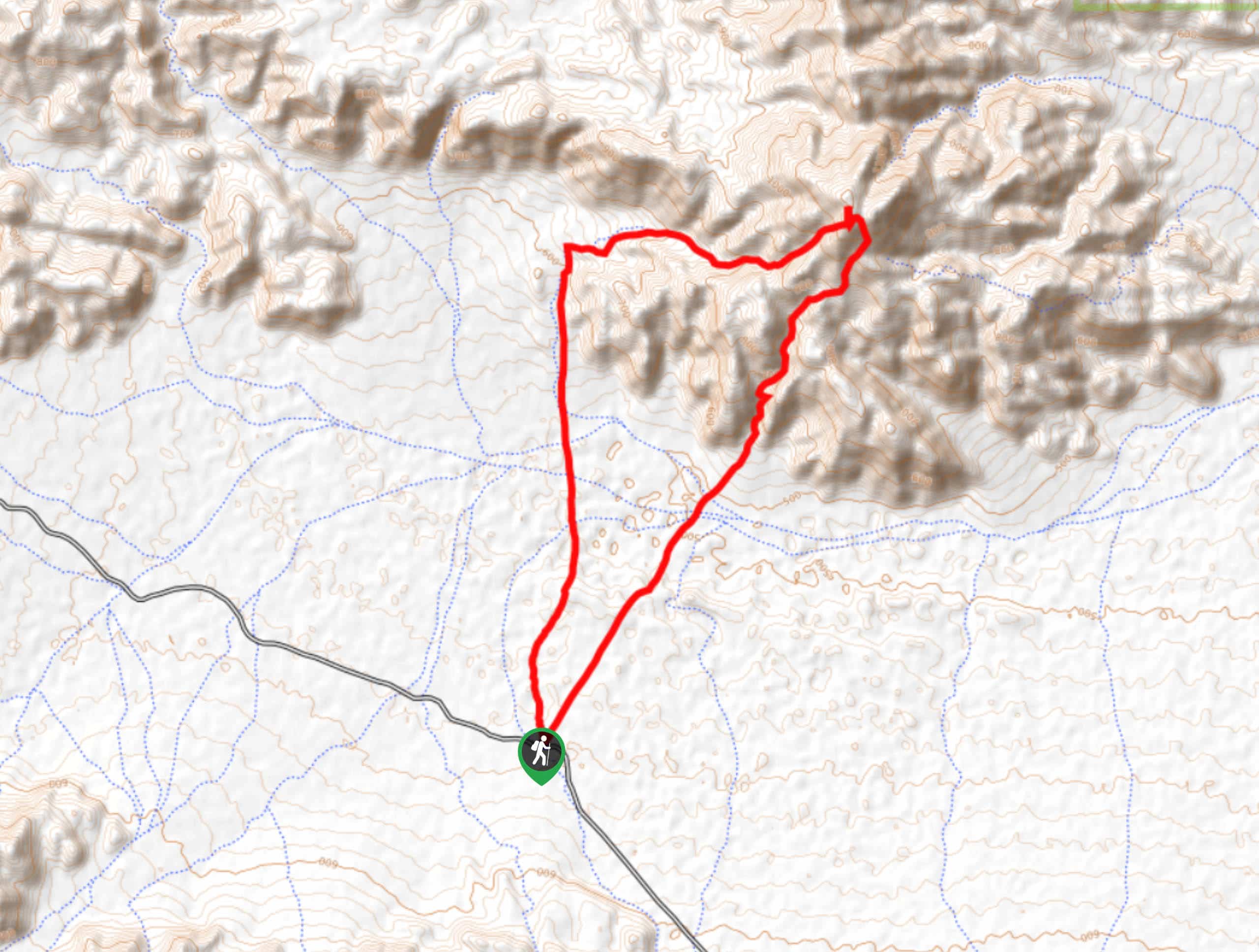
The trailhead for Pinto Mountain Trail is located on the side of Pinto Basin Road.

About
| Backcountry Campground | No |
| When to do | February-May |
| Pets allowed | No |
| Family friendly | No |
| Route Signage | None |
| Crowd Levels | Low |
| Route Type | Circuit |
Pinto Mountain Trail
Elevation Graph
Weather
Pinto Mountain Trail Description
The first few miles of the Pinto Mountain Trail are deceiving, as they are relatively flat and not representative of what is to come. The Pinto Mountain Trail is a physically demanding route that is both long and incredibly steep at some points. The Pinto Mountain Trail should only be attempted by experienced hikers whose skills and equipment are sufficient enough for the challenge.
Having left your vehicle at the side of the road, make your way northwest across the flat terrain, and towards the mountains in the foreground. Soon, you will cross a number of streams that may or may not have water in them. Having crossed the streams, the elevation will slowly start to incline as you approach Pinto Mountain.
Making your way alongside the base of the mountain, you will follow a stream north towards a saddle on the western side of the mountain. Having reached the saddle, you will begin to follow it up towards the summit. Here, the terrain becomes incredibly steep, so take your time and watch your footing as an untimely fall here could be dangerous. After some difficult climbing, you will eventually reach the peak of Pinto Mountain where panoramic views of the surrounding area can be enjoyed.
After enjoying the sublime views, the section of the circuit that will return you to your waiting vehicle is located on the southern saddle of the mountain. Follow this saddle south down the steep terrain, until it plateaus at the base of the mountain. From here, continue south towards Pinto Basin Road.
Similar hikes to the Pinto Mountain Trail hike
Keys View Road to Pinto Basin Road Trail
The Keys View Road to Pinto Basin Road Trail is a moderately difficult one-way route in Joshua Tree National Park.…
Willow Hole Trail
The Willow Hole Trail is a picturesque route that provides lots of opportunities for wildlife viewing throughout its duration. The…
Samuelsons Rocks Trail
The Samuelsons Rocks Trail is a moderately difficult route that offers scenic views of the surrounding terrain. The highlight of…
Comments