Keys View Road to Pinto Basin Road Trail
View Photos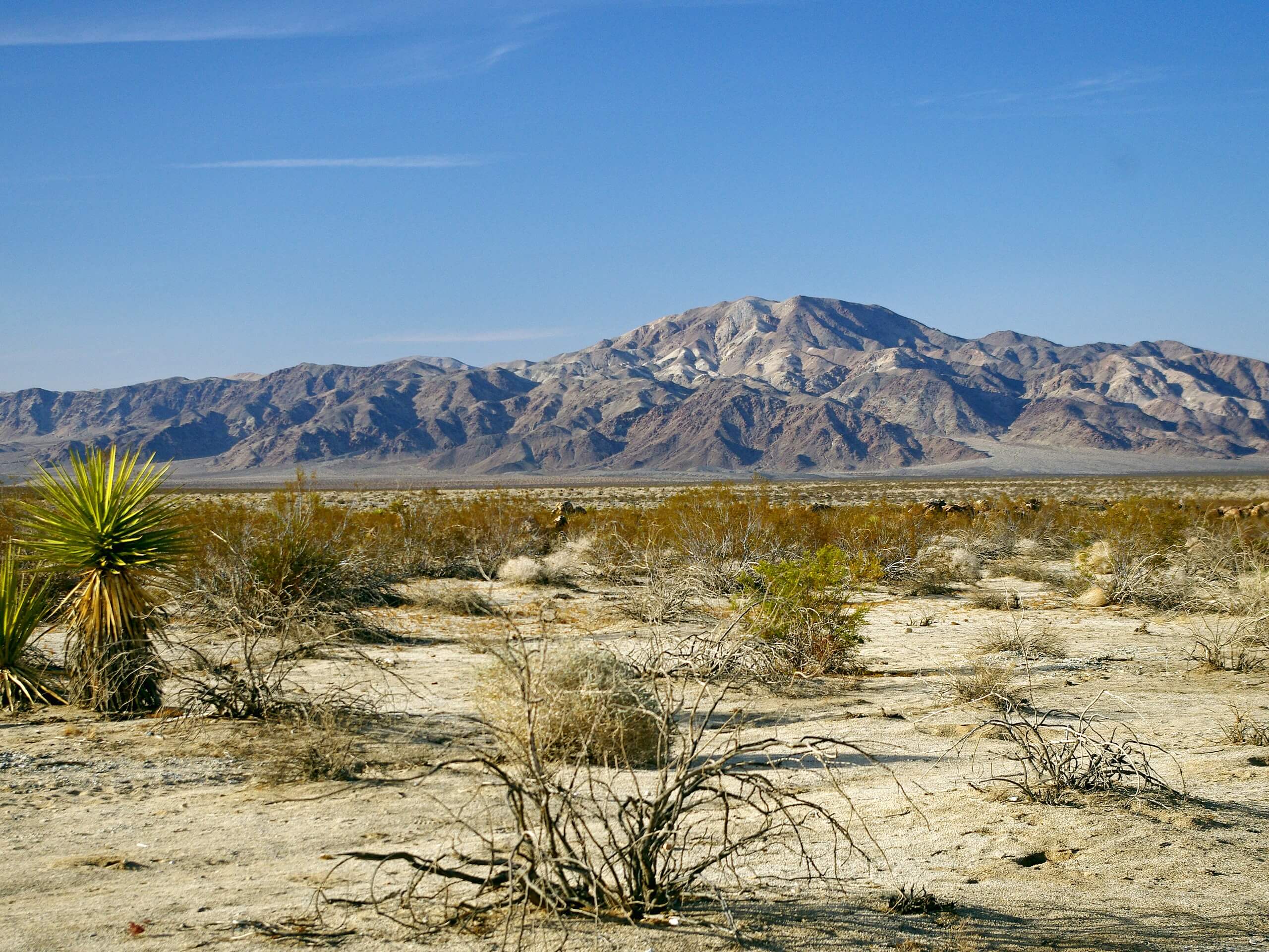
Keys View Road to Pinto Basin Road Trail
Difficulty Rating:
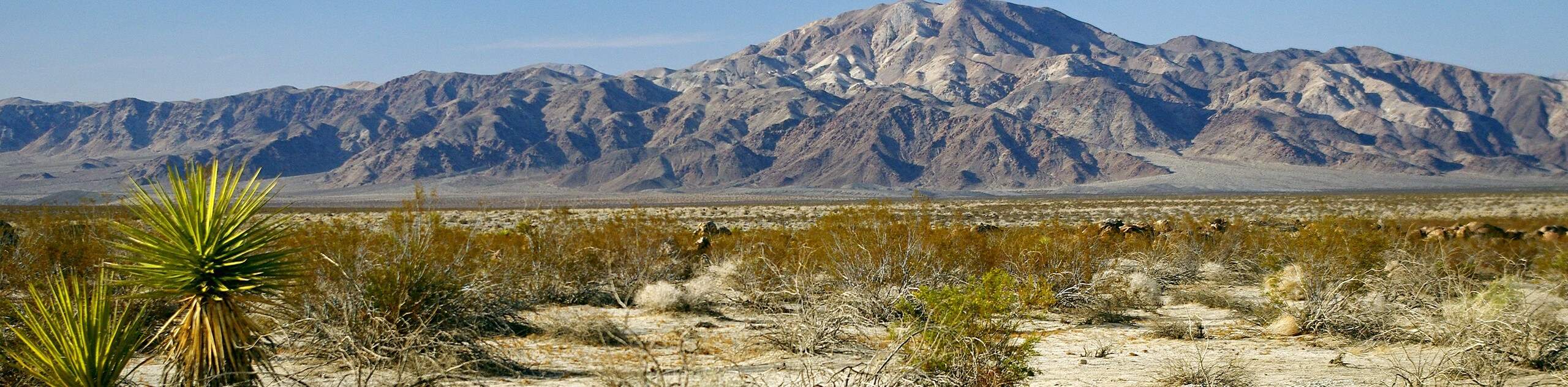
The Keys View Road to Pinto Basin Road Trail is a moderately difficult one-way route in Joshua Tree National Park. Regarded as a great route for birdwatching, the Keys View Road to Pinto Basin Road Trail boasts a variety of scenery. Take your time, and enjoy all that the route has to offer.
Getting there
The trailhead for Keys View Road to Pinto Basin Road Trail can be found off of Keys View Road.

About
| Backcountry Campground | |
| When to do | March-October |
| Pets allowed | No |
| Family friendly | Older Children only |
| Route Signage | Average |
| Crowd Levels | Moderate |
| Route Type | One Way |
Keys View Road to Pinto Basin Road Trail
Elevation Graph
Weather
Keys View Road to Pinto Basin Road Trail Description
The Keys View Road to Pinto Basin Road Trail is a one-way route, so it is essential you arrange a shuttle prior to attempting. To do the route, you will need to go with at least one other person with a car. Leave one car at the ending on Basin Road, and drive the other car to the starting point on Keys View Road.
With your vehicle parked, take the California Riding and Hiking Trail to the east. The route will pass the Ryan Mountain Campground, where it will veer to the south. You will soon arrive at a junction in the trail, where you are to continue southeast along the California Riding and Hiking Trail as it makes its way through a large valley. Stay on the California Riding and Hiking Trail, making sure not to deviate on any of the various pathways heading to the south.
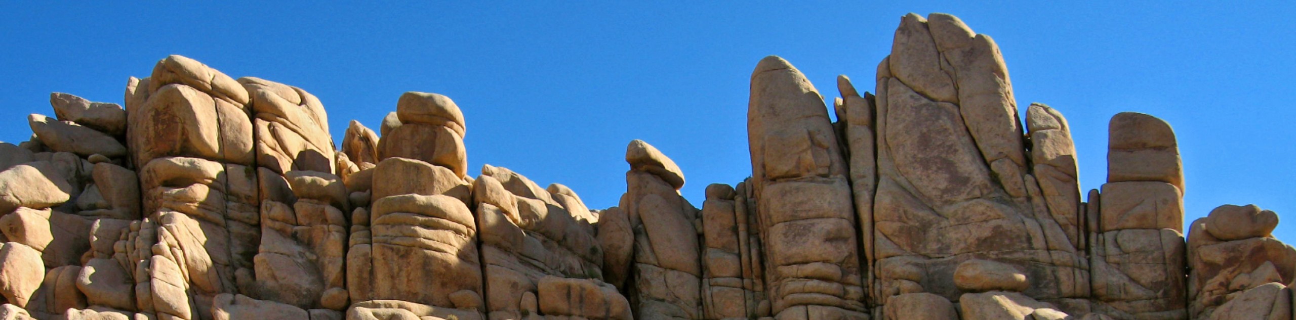
The Keys View Road to Pinto Basin Road Trail will then veer to the northeast across relatively flat terrain. After passing a road, the route will pass Jumbo Rocks Campground to the north, and incline in elevation steadily. The trail will then head north and deliver you to the ending point on Pinto Basin Road.
Similar hikes to the Keys View Road to Pinto Basin Road Trail hike
Willow Hole Trail
The Willow Hole Trail is a picturesque route that provides lots of opportunities for wildlife viewing throughout its duration. The…
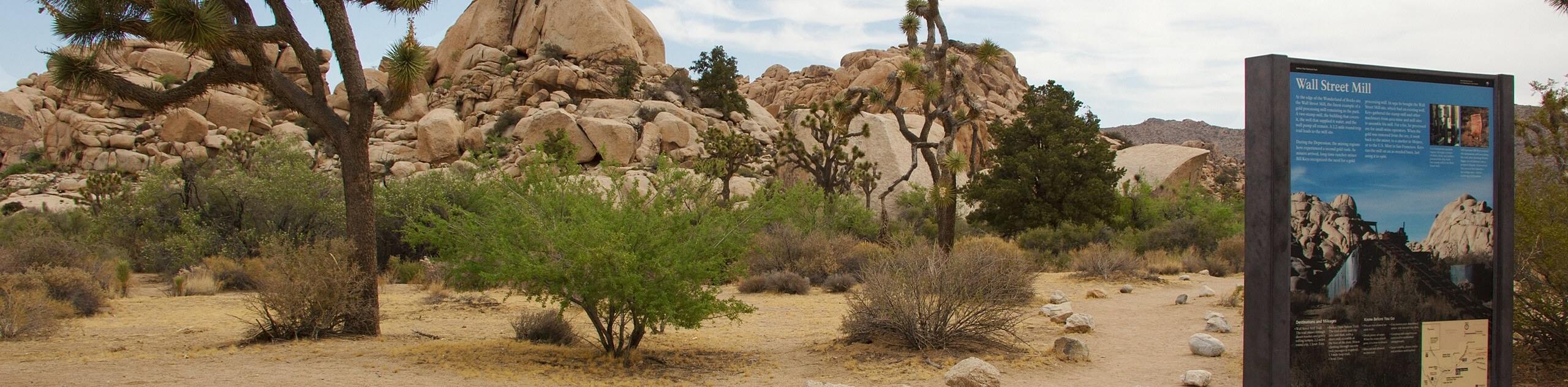
Wall Street Mill Trail
Short in length, but packed with things to see, the Wall Street Mill Trail is an ideal route for families…
Silver Bell Mine Hike
While short, the Silver Bell Mine Hike is not lacking substance. After a quick climb up some inclined terrain, the…
Comments