
Conejo Well and Eagle Mountains Trail
View Photos
Conejo Well and Eagle Mountains Trail
Difficulty Rating:
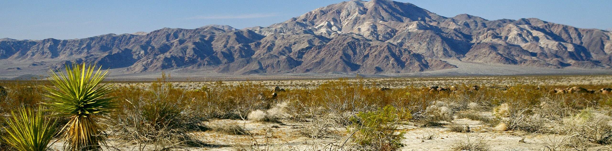
A comparably long route, the Conejo Well and Eagle Mountains Trail is ideal for those who want to get away from the crowds while also enjoying a relatively leisurely hike. It is unlikely you will see many others on the trail as it takes you through the beautiful desert vista, and up the mountainous terrain adjacent to Eagle Mountain.
Getting there
The trailhead for the Conejo Well and Eagle Mountains Trail is located at a parking lot at the end of Cottonwood Springs Road.

About
| Backcountry Campground | |
| When to do | April - October |
| Pets allowed | No |
| Family friendly | Older Children only |
| Route Signage | Poor |
| Crowd Levels | Low |
| Route Type | Out and back |
Conejo Well and Eagle Mountains Trail
Elevation Graph
Weather
Conejo Well and Eagle Mountains Trail Description
Sections of the Conejo Well and Eagle Mountains Trail are poorly marked, and so care should be taken when attempting to not get lost. It is highly recommended that you bring some sort of mapping tool to help aid you along the route.
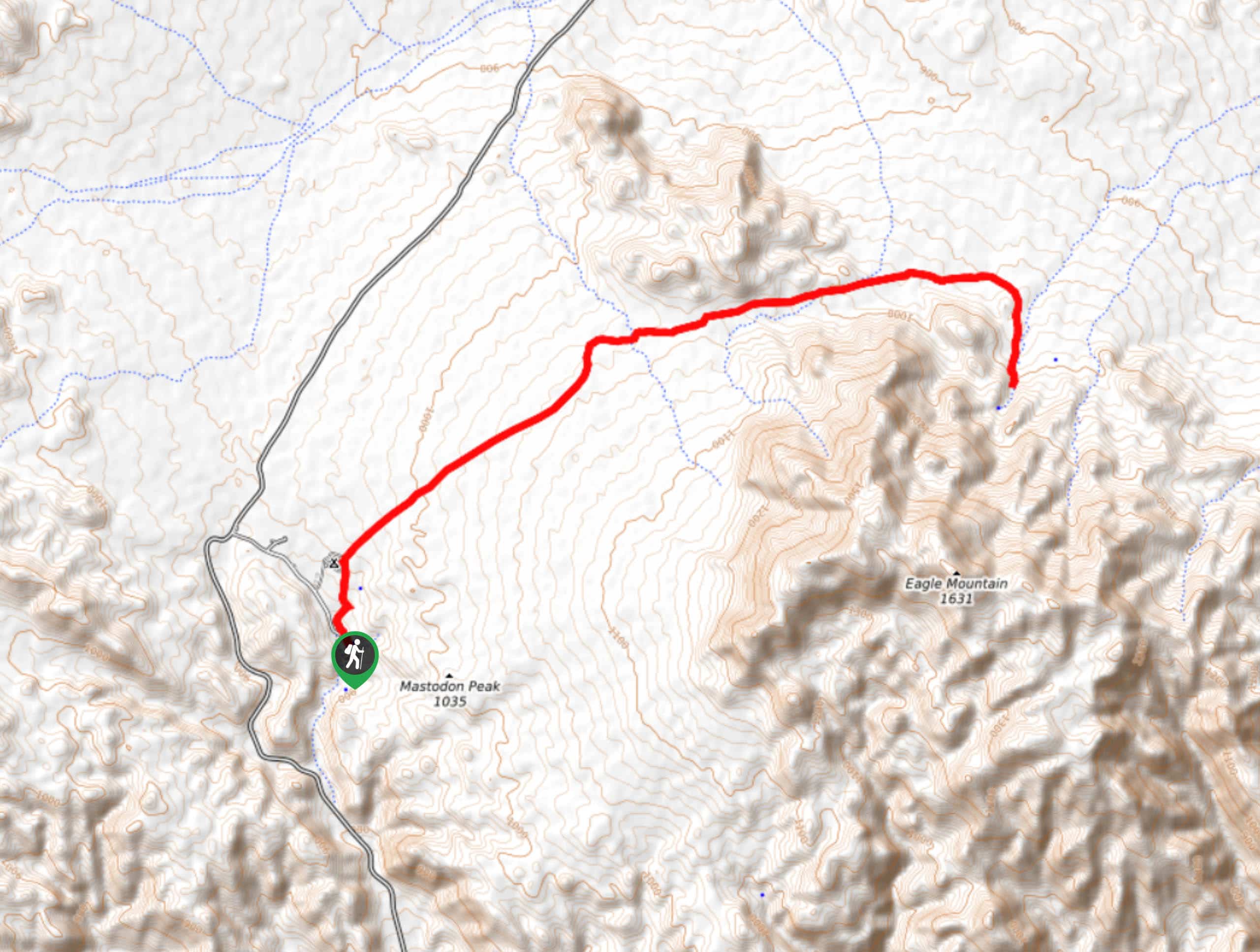
Having left your vehicle at the parking lot, make your way north towards the Cottonwood Campground. At the northern section of the campground, take the trail that leads to the northeast. The trail will gradually incline in elevation as it takes you northeast. With Eagle Mountain visible to your east, the trail will then cross a stream that might have water in it. After crossing the stream, the route veers in an easterly direction through a wide valley with steep inclines on either side.
After making your way through the valley, the Conejo Well and Eagle Mountain Trail will veer sharply to the south. Here the elevation will climb rapidly, and the path will become rather steep. The trail will soon reach a plateau where the Conejo Well and Eagle Mountain Trail ends. Enjoy the views and take a break before retracing your steps back towards the parking lot.
Similar hikes to the Conejo Well and Eagle Mountains Trail hike
Keys View Road to Pinto Basin Road Trail
The Keys View Road to Pinto Basin Road Trail is a moderately difficult one-way route in Joshua Tree National Park.…
Willow Hole Trail
The Willow Hole Trail is a picturesque route that provides lots of opportunities for wildlife viewing throughout its duration. The…
Wall Street Mill Trail
Short in length, but packed with things to see, the Wall Street Mill Trail is an ideal route for families…
Comments