Mount Whitney Portal to Lone Pine Lake Trail
View Photos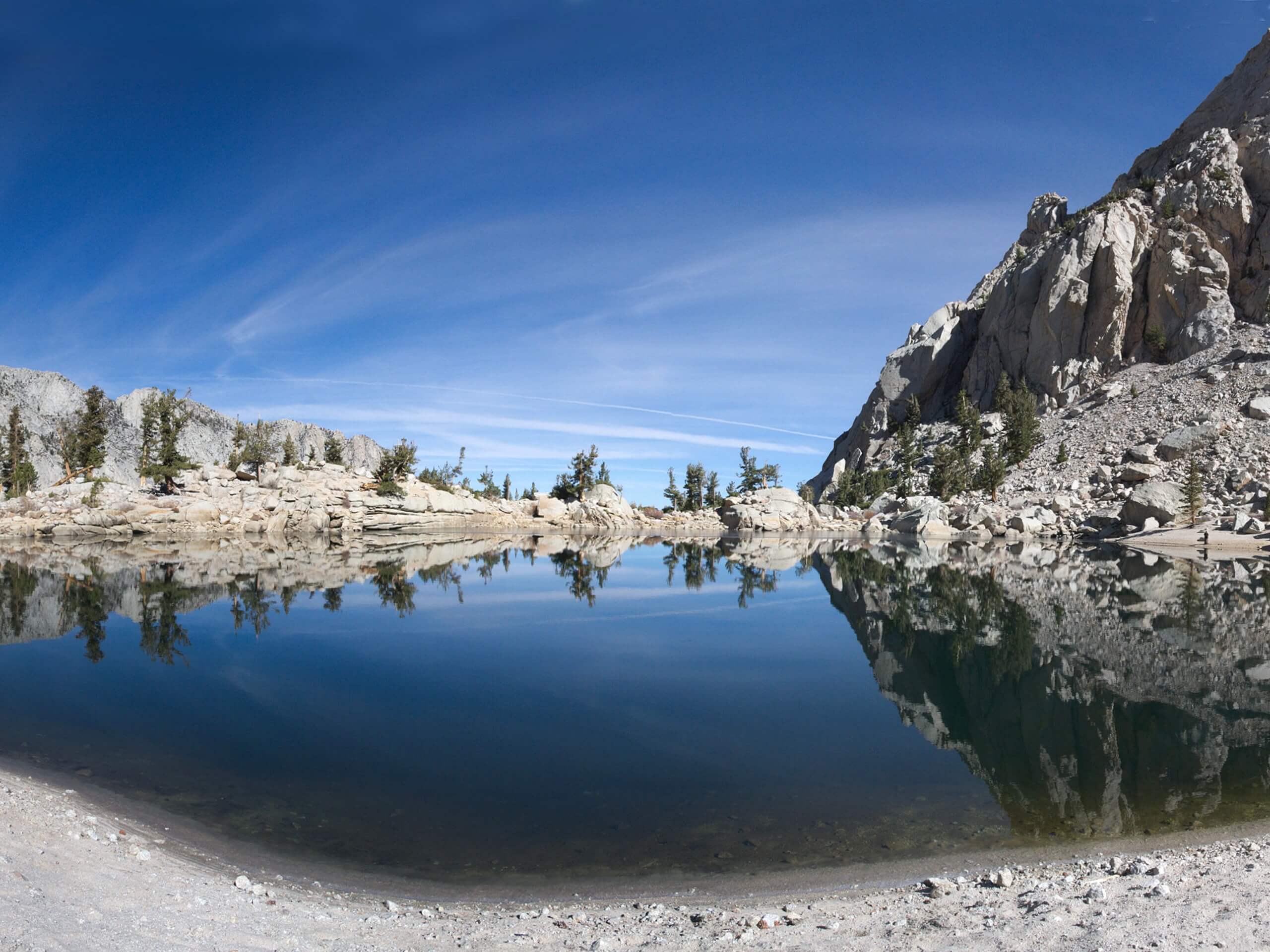
Mount Whitney Portal to Lone Pine Lake Trail
Difficulty Rating:
Considered to be a more challenging route, the Mount Whitney Portal to Lone Pine Lake Trail is ideal for more experienced hikers. Traversing beautiful terrain with gorgeous views, many do the Mount Whitney Portal to Lone Pine Lake Trail as a warm up route before attempting to summit Mount Whitney itself.
Getting there
The trailhead for Mount Whitney Portal to Lone Pine Lake Trail is located at a parking lot off of Whitney Portal Road.

About
| Backcountry Campground | |
| When to do | June-October |
| Pets allowed | Yes - On Leash |
| Family friendly | No |
| Route Signage | Average |
| Crowd Levels | High |
| Route Type | Out and back |
Mount Whitney Portal to Lone Pine Lake Trail
Elevation Graph
Weather
Mount Whitney Portal to Lone Pine Lake Trail Description
A fairly long route with a notable amount of elevation gain, the Mount Whitney Portal to Lone Pine Lake Trail is likely not appropriate for beginner hikers or families with children. We recommend bringing extra layers of clothing with you, as the higher elevations can get rather cold and uncomfortable if you are not prepared. Likewise, make sure you bring plenty of water, and wear both sunscreen and a hat.
Having arrived at the trailhead, follow the Mount Whitney Trail north. After a few hundred feet, the trail will veer sharply to the west, and begin to incline in elevation. The Mount Whitney Trail will cross the North Fork Lone Pine Creek before heading to the south. Here, the elevation begins to incline more severely, making the route more physically demanding.
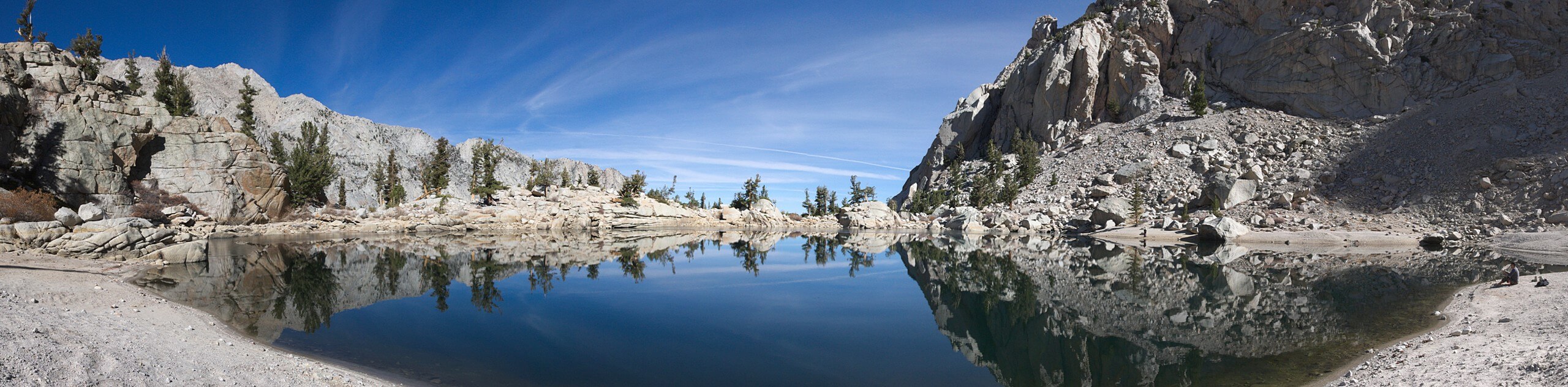
Continuing on along the Mount Whitney Trail, the path will then turn into a series of switchbacks. Having inclined the majority of the elevation along the route, the switchbacks will end, and the path will cross one last creek before reaching a plateau. At the plateau, beautiful Lone Pine Lake will be visible. After taking the opportunity to enjoy the incredible sightlines, backtrack your steps towards the trailhead, and your waiting vehicle.
Similar hikes to the Mount Whitney Portal to Lone Pine Lake Trail hike

Valentine Lake Trail
An underrated route within Inyo National Forest, Valentine Lake Trail is without a doubt worth the effort! Boasting sublime scenery…

Lakes Basin Path to Pack Trail
A more challenging route within Inyo National Forest, Lakes Basin Path to Pack Trail is ideal for more experienced hikers…

Mountain View and 3S89 Road Loop
Mountain View and 3S89 Road Loop is a delightful route within Inyo National Forest. Leading you through a lovely forested…
Comments