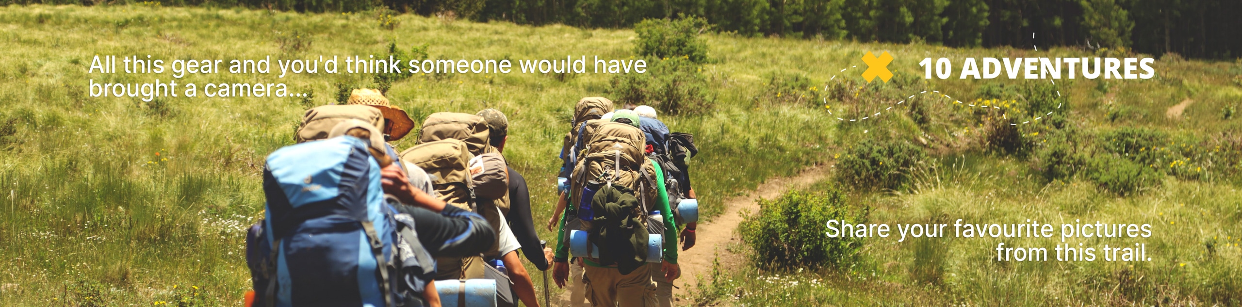
Niwot Ridge Trail
View Photos
Niwot Ridge Trail
Difficulty Rating:
The Niwot Ridge Trail is an enjoyable, family friendly hike through the Brainard Lake Recreational Area. This trail is an easy hike up the Niwot Ridge and delivers awe-inspiring views of Long Lake in the foreground of the craggy Indian Peaks.
Getting there
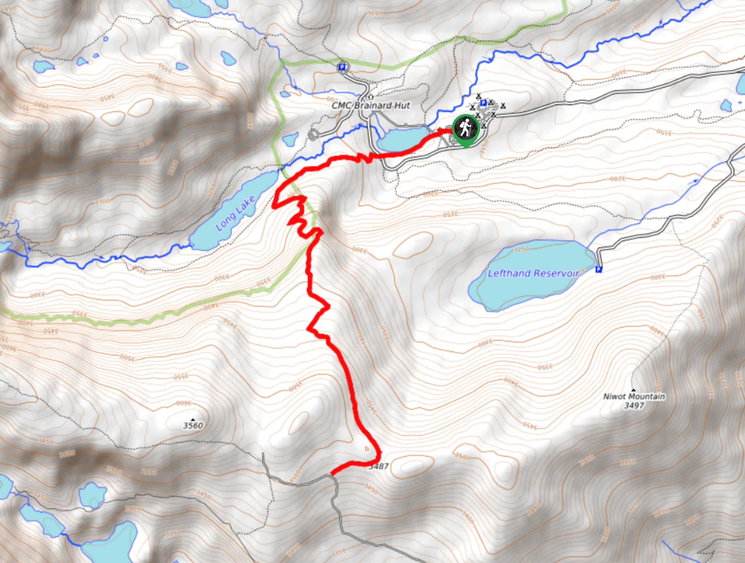
The Niwot Ridge Trail begins from the Niwot Picnic area off of the Brainard Lake Road. The Brainard Lake Recreational Area and the Brainard Lake Road close seasonally from late-October until mid-June.

About
| Backcountry Campground | Yes, permits required. |
| When to do | May-October |
| Pets allowed | Yes - On Leash |
| Family friendly | Yes |
| Route Signage | Average |
| Crowd Levels | Moderate |
| Route Type | Out and back |
Niwot Ridge Trail
Elevation Graph
Weather
Niwot Ridge Trail Description
The Niwot Ridge Trail is a perfectly relaxed half day hike in the Indian Peaks that passes along Long Lake and ridges Niwot Mountain. This trail is great for families or as a recovery hike after summiting a peak. This trail is well signposted but in the summer months brush overgrowth can make the trail hard to follow. Do your best to stay on the worn path and bring a GPS trail report if possible. Note that parking passes are required and can be purchased at the Brainard Lake Recreational Area Kiosk or online.
Begin your adventure at the Niwot Picnic area. From the picnic area, head west along the Niwot Cut Off Trail. This wooded path will guide you to an intersection. At this point, veer left on the Jean Lunning Trail. You will shortly arrive at another junction. Here, bear left on Niwot Ridge Trail. As you traverse this winding trail it will gain elevation as you ascend towards the ridge. Continue hiking the ridge as it ascends the timberline and becomes exposed. You will eventually come to another intersection at the top of the ridge. This is your turnaround point.
If you are feeling adventurous, turn left and head southeast along the trail to summit Niwot Mountain. If you’ve had enough and you’re tired out, turn around. To get back to the parking lot simply retrace your steps along the trail.
Similar hikes to the Niwot Ridge Trail hike

Caribou Pass Hike
The Caribou Pass Trail scales the west side of the Continental Divide. This short but steep hike will get your…

Buchanan Pass Loop
The Buchanan Pass Loop is an awesome adventure trail. Adults and kids alike will enjoy this wildflower-speckled trail as it…

Beaver Creek Trail
Beaver Creek Trail is a great wooded hike through the Colorado wilderness. With picturesque babbling brooks and past vast wildflower…
Comments