
Buchanan Pass Loop
View Photos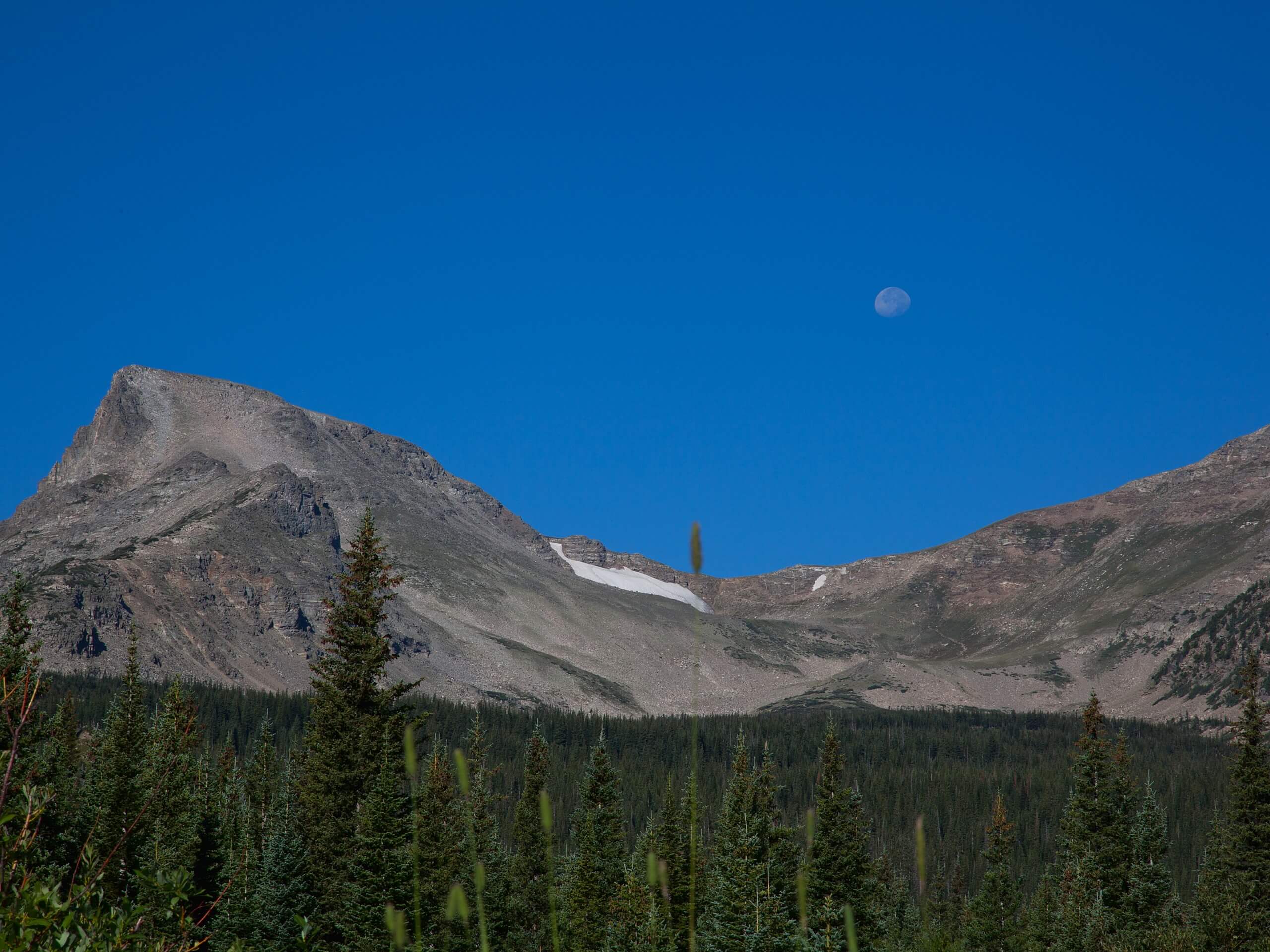
Buchanan Pass Loop
Difficulty Rating:
The Buchanan Pass Loop is an awesome adventure trail. Adults and kids alike will enjoy this wildflower-speckled trail as it passes cascading waterfalls and running creeks. Compared to many other hikes in the area, this trail has limited elevation gain and fairly easy terrain. This hike is a bit lengthy, but it is scenic the whole way through.
Getting there
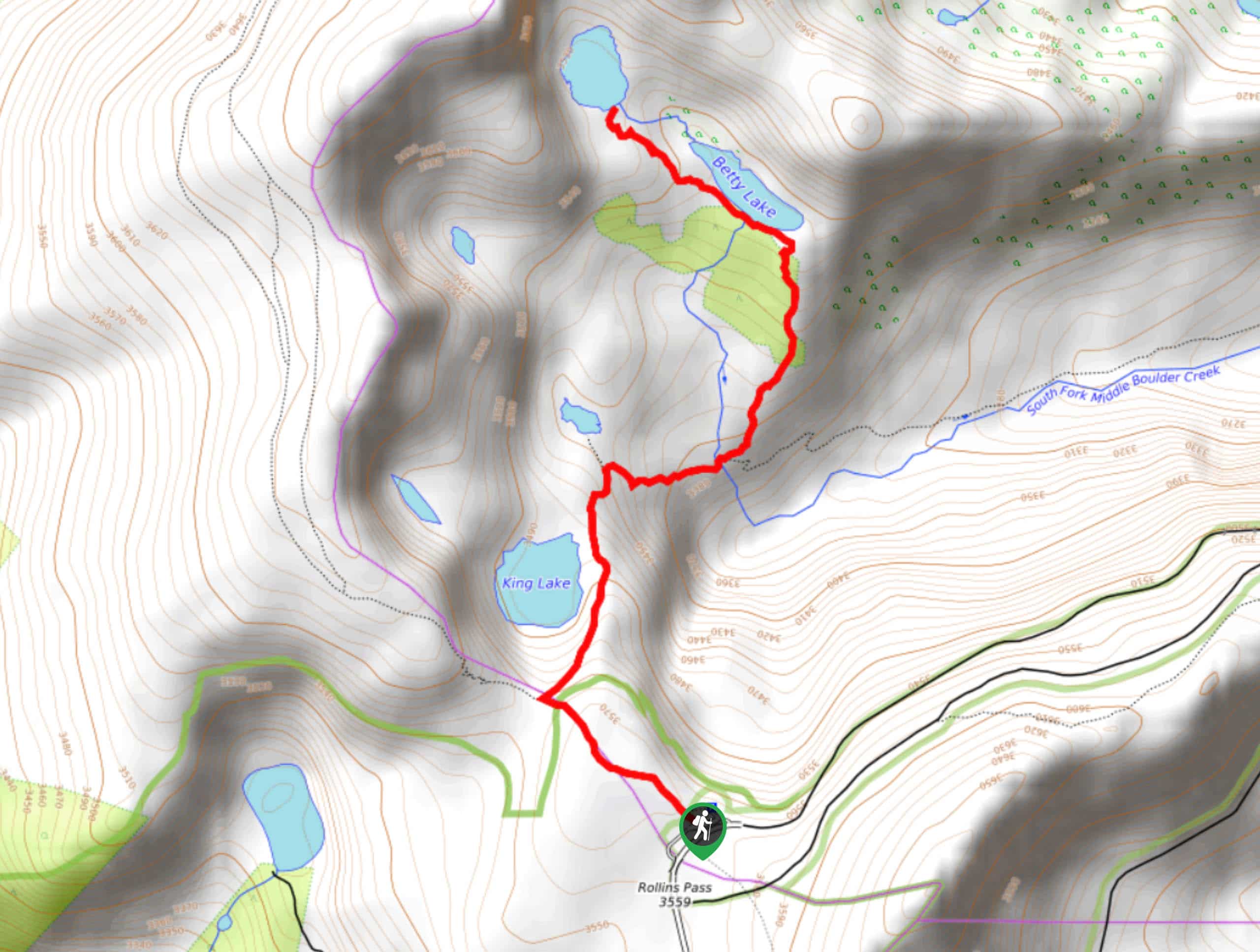
Buchanan Pass Loop departs from the south Camp Dick Campground parking lot.

About
| Backcountry Campground | |
| When to do | May-October |
| Pets allowed | Yes - On Leash |
| Family friendly | Yes |
| Route Signage | Average |
| Crowd Levels | Moderate |
| Route Type | Circuit |
Buchanan Pass Loop
Elevation Graph
Weather
Buchanan Pass Loop Description
The Buchanan Pass loop is the best day hike for those seeking a lovely, forested hike. Almost entirely shaded, this trail is scenic and serene. When traversing the trail keep your eyes peeled for moose, they are common in this area. Note that there are a few steep sections as you gain a bit of elevation, but they are very manageable. For the most part the climbs are lengthy, but gradual.
The Buchanan Pass Loop can be completed in either direction, but we recommend going clockwise. From the parking lot, get onto the Cut Off Trail. Follow this trial as it winds up to the Beaver Creek Reservoir. From here, the trail will merge into Coney Creek Road. Continue straight on this route until you reach a bridge. At this junction, bear right onto Coney Flats Road. Continue along the road until it intersects with Middle St. Vrain Creek. At the intersection, veer right onto Buchanan Pass Trail.
At this point you will gradually begin descending as you follow the curves of the creek and pass Timberline Falls. Continue down the forested valley until the trail delivers you back to the parking lot.
Similar hikes to the Buchanan Pass Loop hike

Caribou Pass Hike
The Caribou Pass Trail scales the west side of the Continental Divide. This short but steep hike will get your…

Beaver Creek Trail
Beaver Creek Trail is a great wooded hike through the Colorado wilderness. With picturesque babbling brooks and past vast wildflower…
Betty and Bob Lakes via High Lonesome Trail
Betty and Bob Lakes via High Lonesome Trail is a short out-and-back trail to three of the most scenic lakes…
Comments