Middle St. Vrain River Trail
View Photos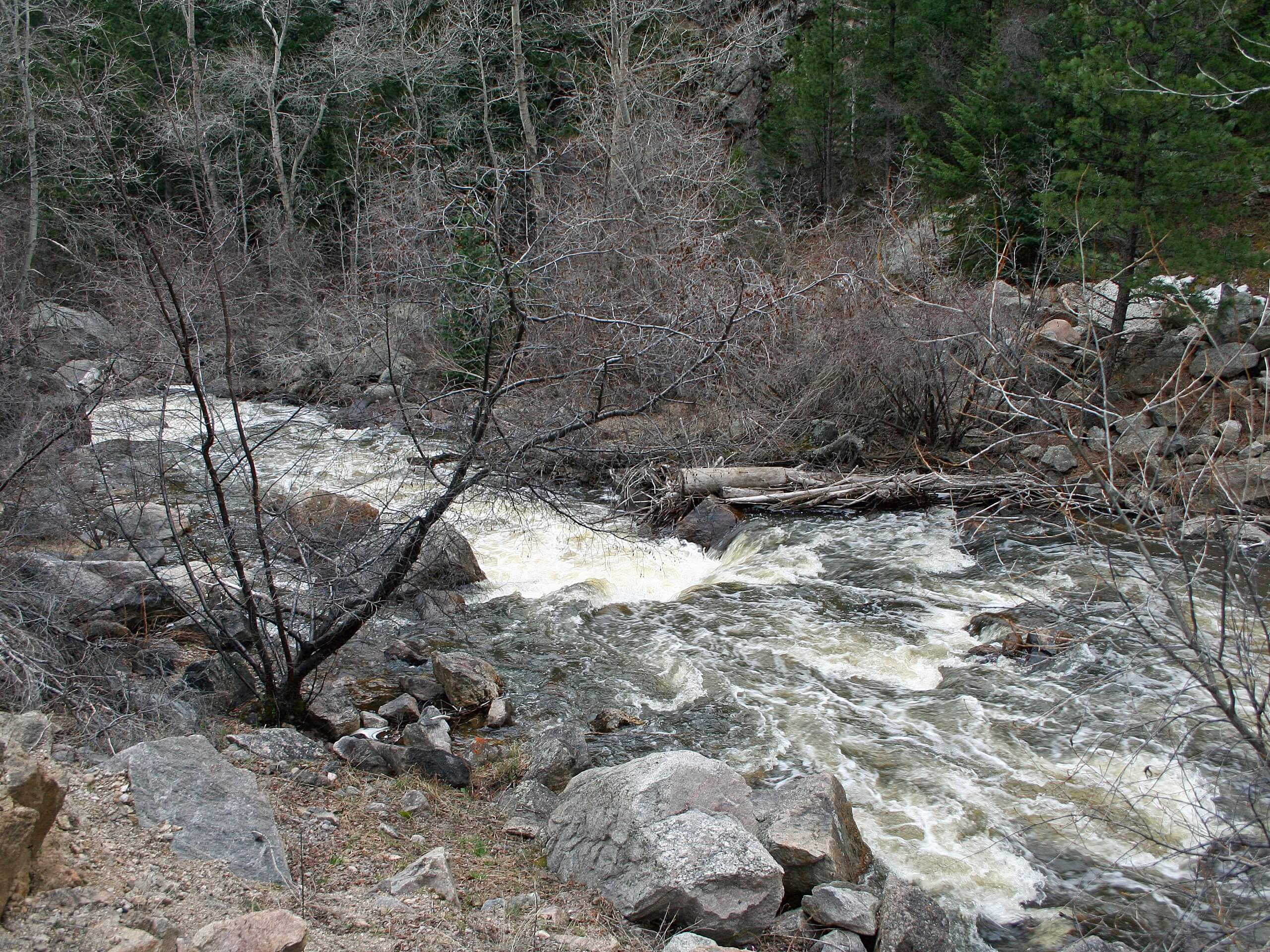
Middle St. Vrain River Trail
Difficulty Rating:
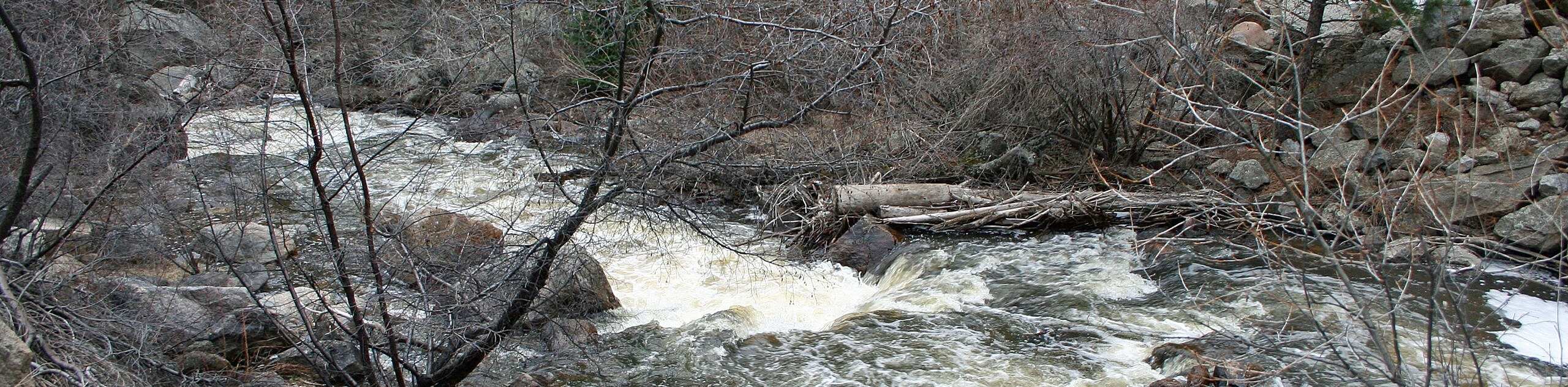
This hike is all about the ambiance. The Middle St. Vrain River Trail is a peaceful hike through a beautiful, forested river valley. The sounds of the running river, cascading waterfalls and wind whistling through the trees will put you at ease as you walk. This trail is great for hikers of almost all skill-levels!
Getting there
The Middle St. Vrain River Trail is accessed from the Camp Dick Campground off Country Road 92.

About
| Backcountry Campground | Yes, permits required. |
| When to do | May- October |
| Pets allowed | Yes - On Leash |
| Family friendly | Yes |
| Route Signage | Average |
| Crowd Levels | Moderate |
| Route Type | Out and back |
Middle St. Vrain River Trail
Elevation Graph
Weather
Middle St. Vrain River Trail Description
The Middle St. Vrain River Trail is a stunning shaded hike through the Colorado wilderness. This hike hugs the curves of the Middle St. Vrain Creek and guides hikers past waterfalls and alpine pools. This river valley trail is rocky and can get a little wet, notably in the spring, so be prepared to get your feet wet and mind slippery rocks! With little elevation gain, this trail is great for novice hikers or adventuring families! Dogs are also allowed on the trail from April 1st-December 30th, but they must stay on-leash. Note that this trail runs parallel to an ATV route, so you may hear a vehicle on the odd occasion.
Begin the Middle St. Vrain River Hike from the Camp Dick Campground Parking Lot. This carpark is small, so arrive early to secure a spot. From the parking lot, head northwest on Country Road 92-J. You will quickly confront an intersection, veer right as the trail diverts you onto Buchanan Pass Trail. You will cross a bridge and continue west along the trail. This path is dotted with wildflowers and wild mushrooms in the warmer months. Hike along the path as it guides you past waterfalls and alpine pools. There are numerous swimming holes along the river if you need to stop and cool off! Continue along the river valley, gradually gaining elevation. You will eventually confront the trail’s end marker.
Turn around at the marker or continue along the Buchanan Pass Trail, adding to your excursion. At the trail’s end marker, turn around and retrace your steps back to the carpark.
Similar hikes to the Middle St. Vrain River Trail hike

Caribou Pass Hike
The Caribou Pass Trail scales the west side of the Continental Divide. This short but steep hike will get your…

Buchanan Pass Loop
The Buchanan Pass Loop is an awesome adventure trail. Adults and kids alike will enjoy this wildflower-speckled trail as it…

Beaver Creek Trail
Beaver Creek Trail is a great wooded hike through the Colorado wilderness. With picturesque babbling brooks and past vast wildflower…
Comments