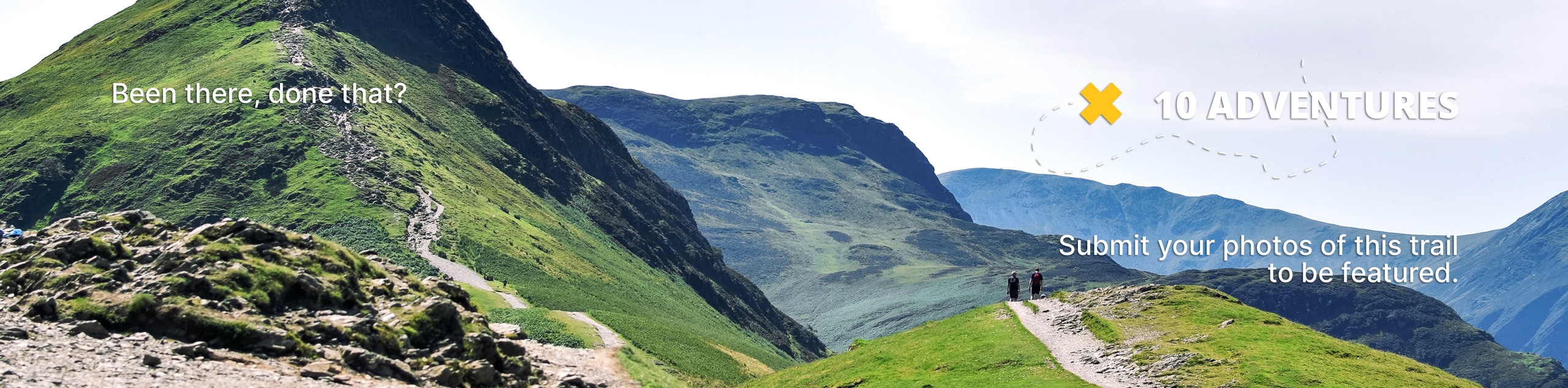
Beaver Reservoir to Coney Lake Hike
View Photos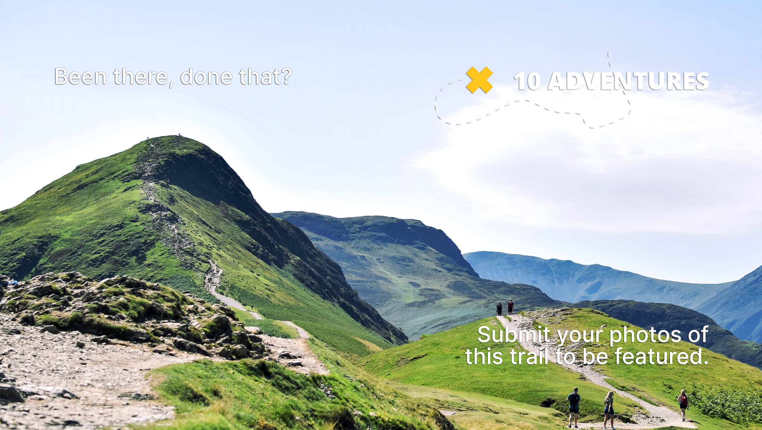
Beaver Reservoir to Coney Lake Hike
Difficulty Rating:
Beaver Reservoir to Coney Lake Hike is a lengthy, but manageable hike through the Colorado Wilderness. The beauty of this trail is that it can be enjoyed in the summer season as a scenic hike through the woodlands or in the winter as a challenging snowshoe or cross-country skiing route.
Getting there
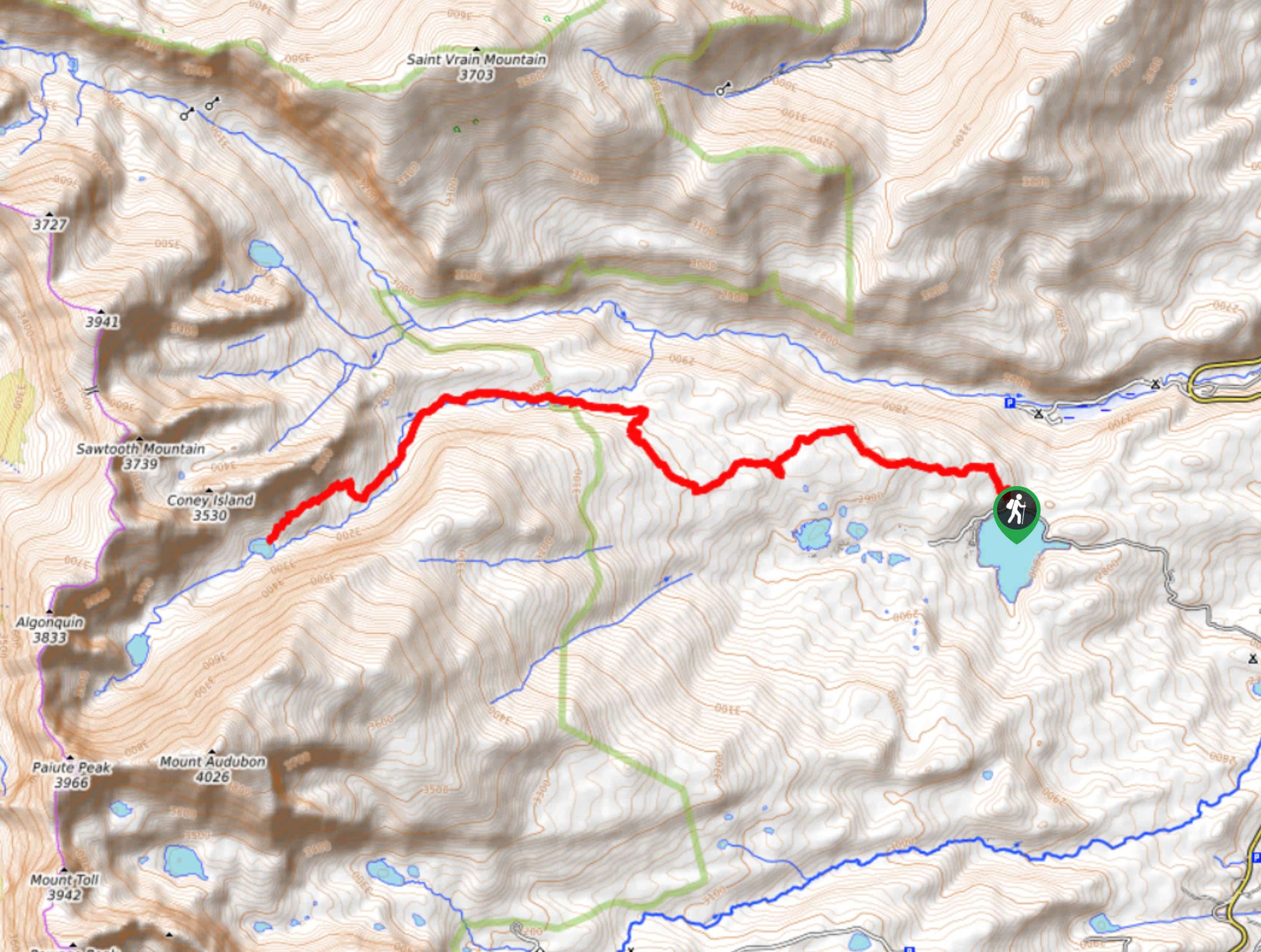
Access this trail from Beaver Reservoir Road off Country Road 96. The Beaver Reservoir Trailhead is clearly marked on the right hand side of the road. Parking is limited.

About
| Backcountry Campground | Yes, permits required. |
| When to do | Year-Round |
| Pets allowed | Yes - On Leash |
| Family friendly | Older Children only |
| Route Signage | Average |
| Crowd Levels | Moderate |
| Route Type | Out and back |
Beaver Reservoir to Coney Lake Hike
Elevation Graph
Weather
Beaver Reservoir to Coney Lake Hike Description
The Beaver Reservoir to Coney Lake Hike is a shaded walk through the abundant Colorado woodlands. If you have a sense of adventure and like off-roading it a bit, you will enjoy this hike. The first segments of this trail share a route with ATVs in the summer months, so be aware of passing vehicles. Additionally, there are a few rudimentary bridges across streams and creeks throughout the course of the hike- use your judgement and mind your footing when crossing them. You will fulfill your need for adventure if you conquer this hike!
Starting from the Beaver Reservoir Trailhead, head northwest on the Coney Creek Road. This road is shared with ATVs. Continue along this trail and stay to the right of the first intersection. When you confront the next fork in the road, bear left. The trail will merge back onto the Coney Creek Road before you meet another junction. At this point, veer left onto the Coney Lake Trail- ATVs are prohibited from this junction onwards. Continue along this trail as you intersect with Coney Creek several times. This trail will gradually gain elevation as you hike towards the lake. You will eventually arrive at Coney Lake.
If you still have gas left in the tank, continue along the trail to Upper Coney Lake. If you are ready to head back, retrace your steps to the carpark at Beaver Reservoir.
Similar hikes to the Beaver Reservoir to Coney Lake Hike hike

Caribou Pass Hike
The Caribou Pass Trail scales the west side of the Continental Divide. This short but steep hike will get your…

Buchanan Pass Loop
The Buchanan Pass Loop is an awesome adventure trail. Adults and kids alike will enjoy this wildflower-speckled trail as it…

Beaver Creek Trail
Beaver Creek Trail is a great wooded hike through the Colorado wilderness. With picturesque babbling brooks and past vast wildflower…
Comments