Lost Lake Hike
View Photos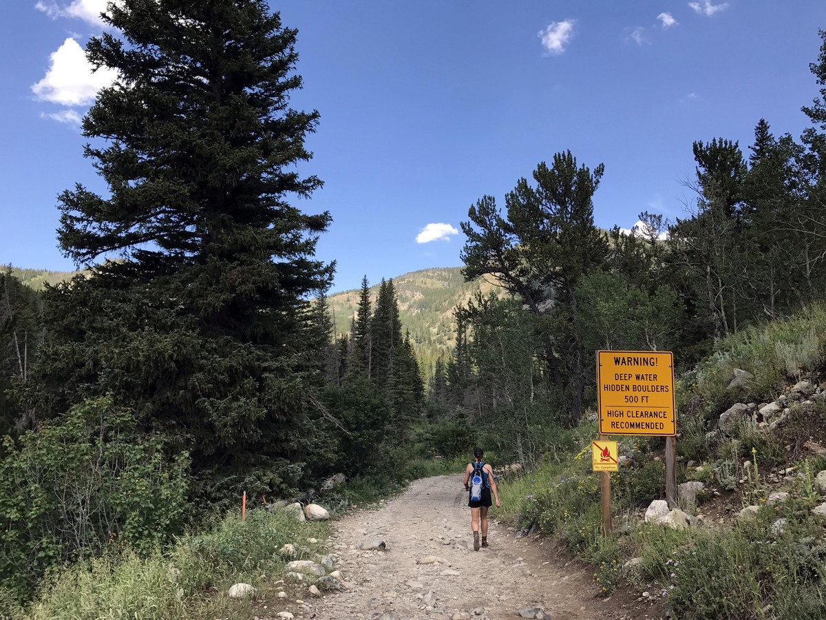

Lost Lake Hike
Difficulty Rating:
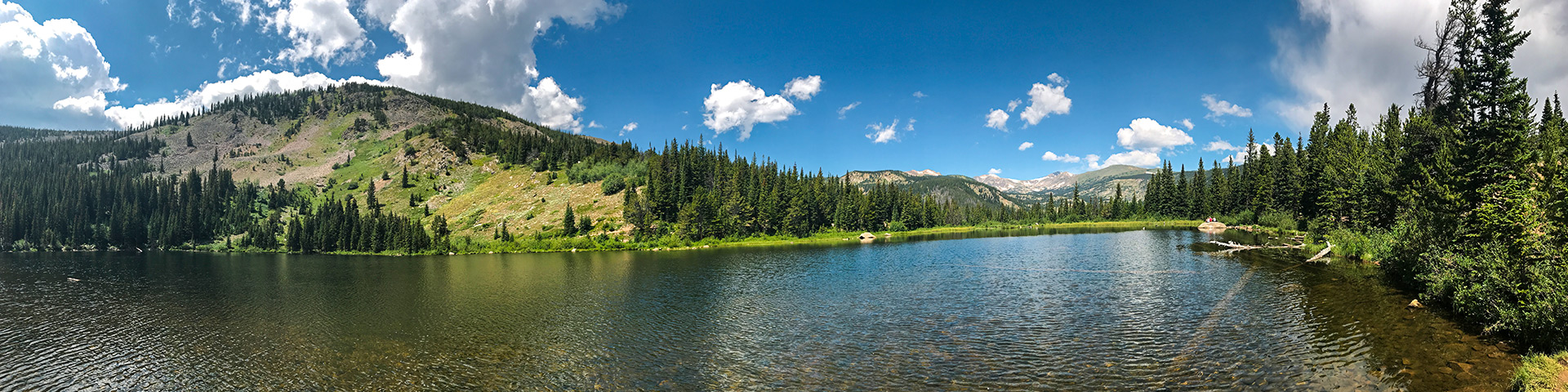
This is a popular, family-friendly hike, but that doesn’t mean it’s not worth checking out. Lost Lake is a moderately easy hike that begins at the historic Hessie Townsite (an old mining town, high in the Rocky Mountains). This hike offers a lot of bang for your buck: not a lot work for a lot of great sights.
Getting there
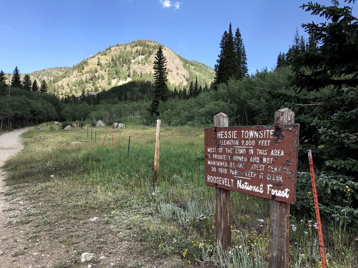
To get to the Lost Lake Trailhead, from Nederland, at the traffic circle, take 2nd exit onto West 2nd Street and continue onto CO-72 for 6.8mi. Continue onto Hessie Road where the street turns to gravel. Parking is available along the side of the road, at the Hessie Trailhead.

About
| When to do | Early June to Late September |
| Backcountry Campsites | In the Lost Lake Area. Permits are required from the National Forest Ranger Station |
| Toilets | Yes |
| Family friendly | Yes |
| Route Signage | Average |
| Crowd Levels | Moderate |
| Route Type | Out and back |
Lost Lake Hike
Elevation Graph
Weather
Lost Lake Hike Description
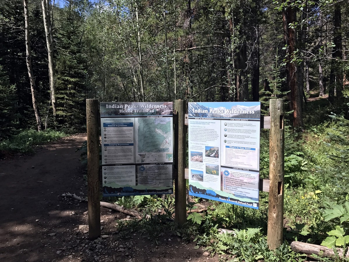
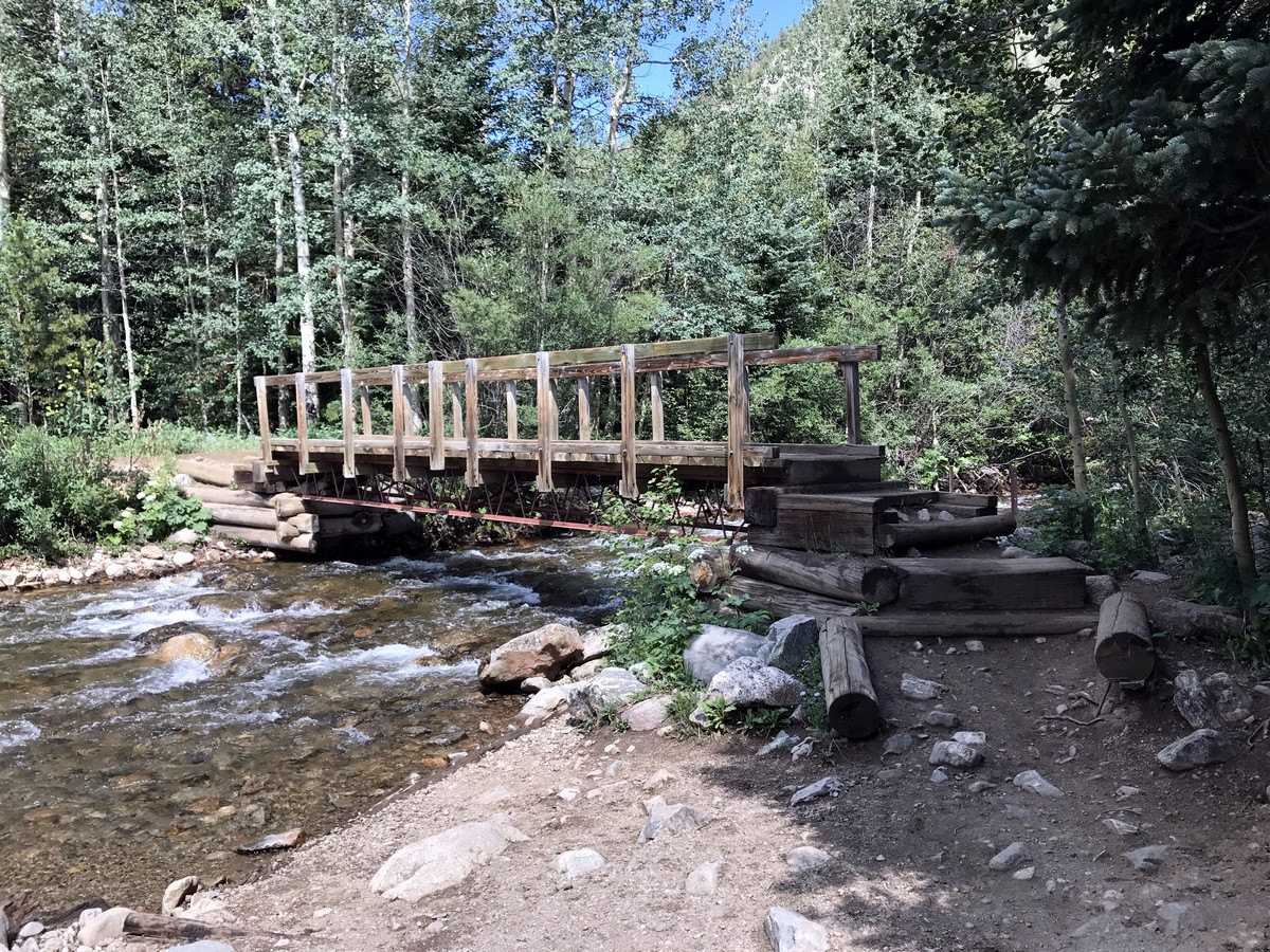
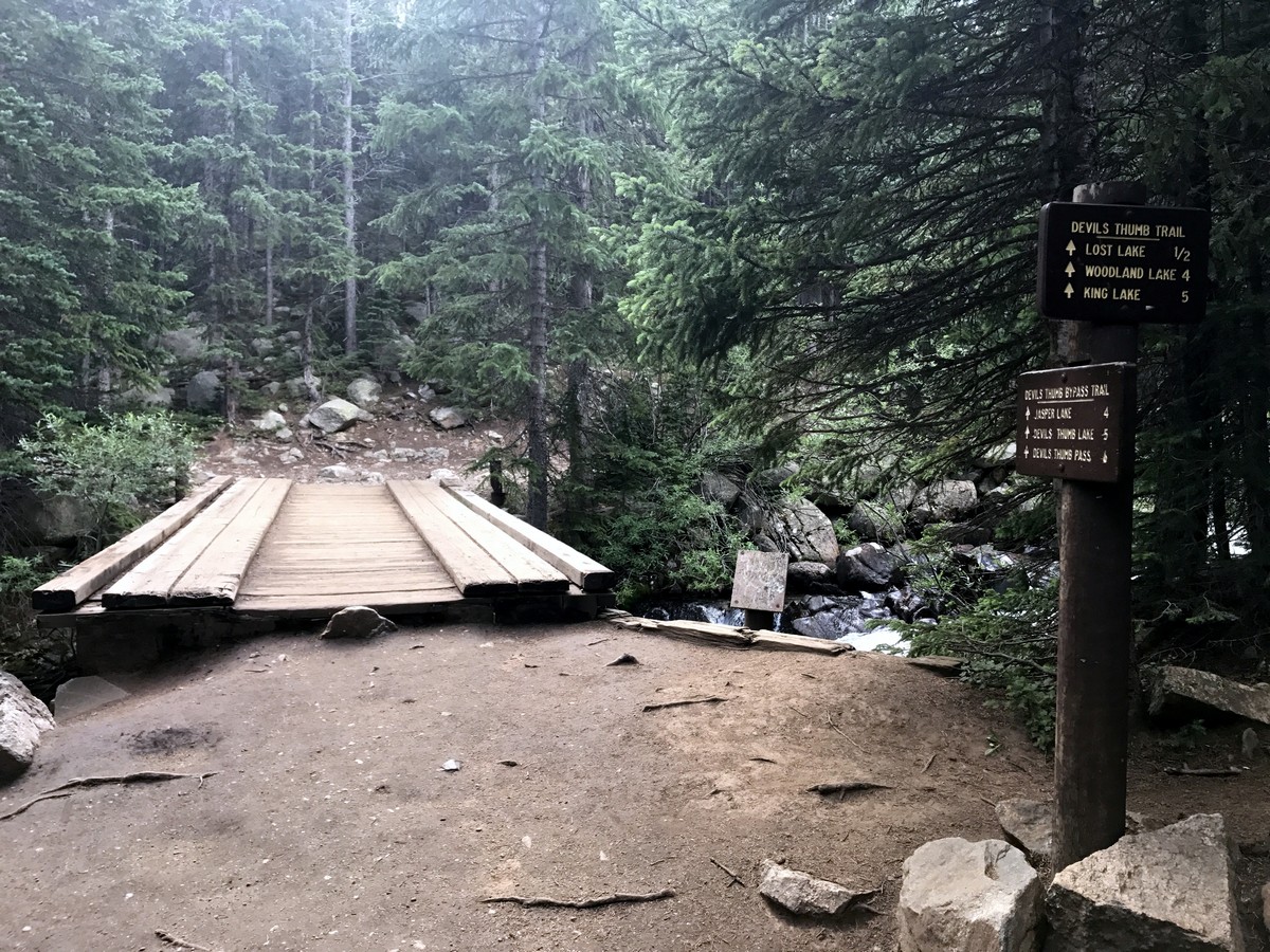
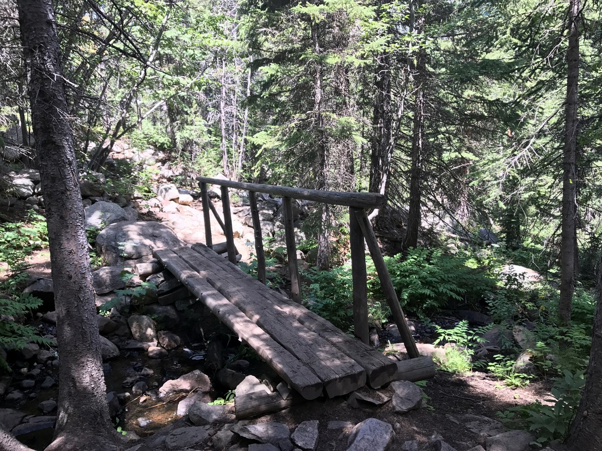
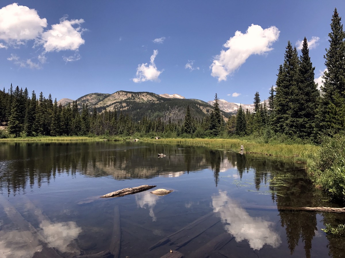
Begin the Lost Lake Trail at the Hessie Trailhead where there is a map of the surrounding area. Follow the signs for Lost Lake, crossing over a bridge and onto a pretty trail through pine forests and aspen groves.
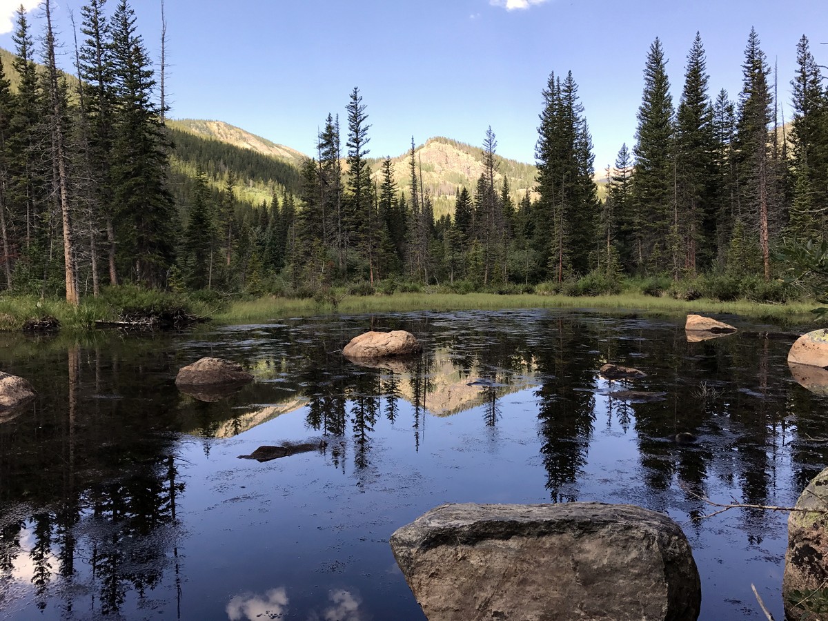
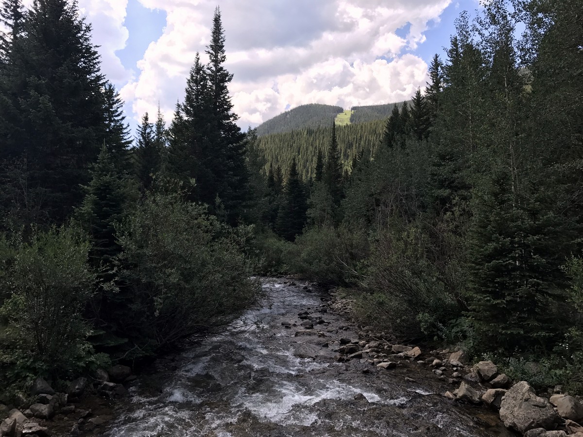
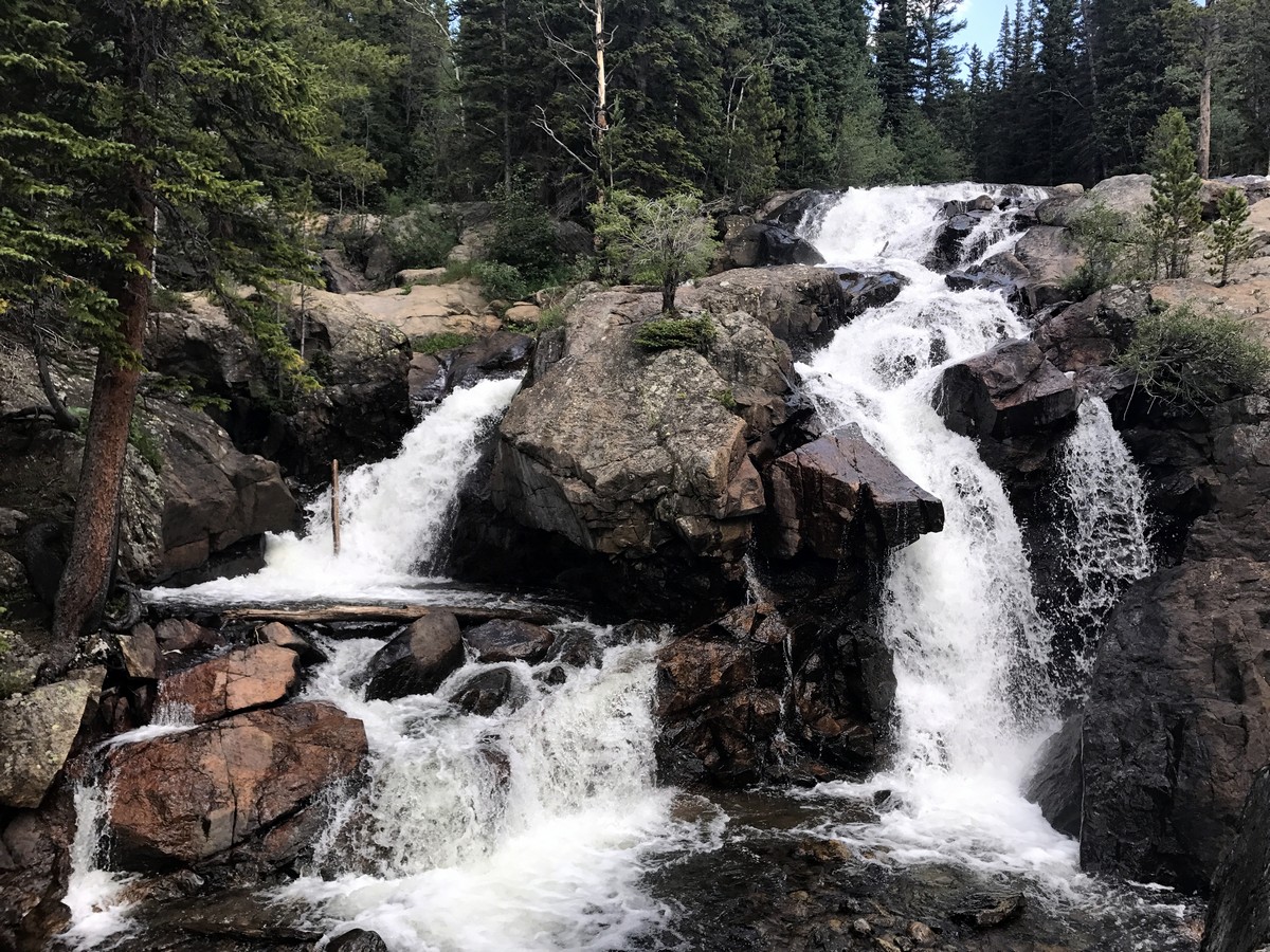
After a couple of switchbacks past an old log cabin, you will gain elevation alongside an impressive waterfall. A short side trail spurs off from the main trail to a waterfall overlook point that we think is worth the view!
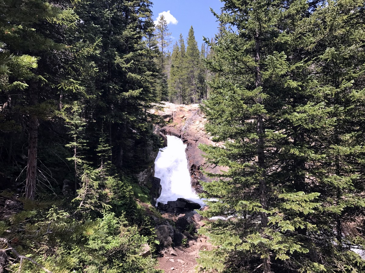
Continuing on to Lost Lake, you will descend down into a small valley before crossing over a bridge to the base of a second, smaller waterfall. From this point, the trail climbs to the other side of the valley andall the way up to Lost Lake.
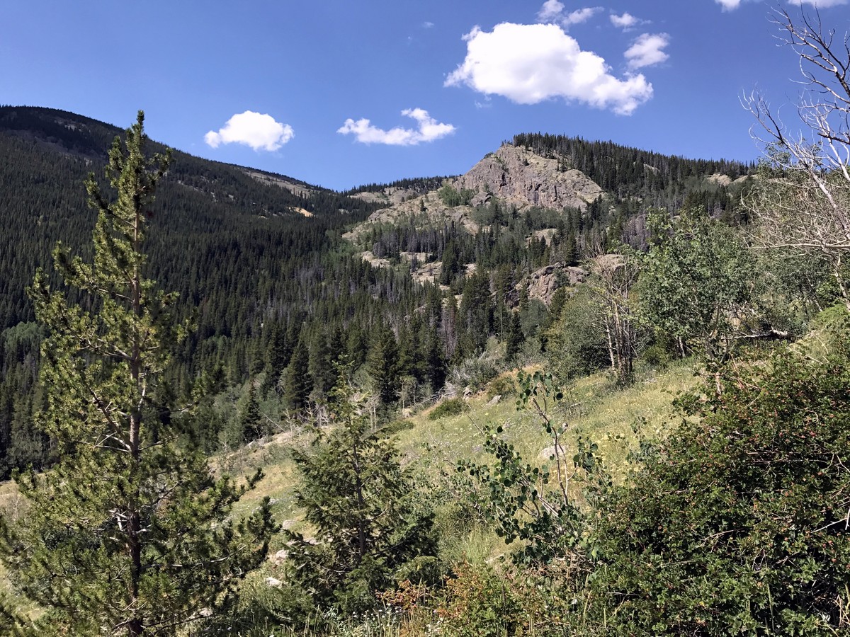
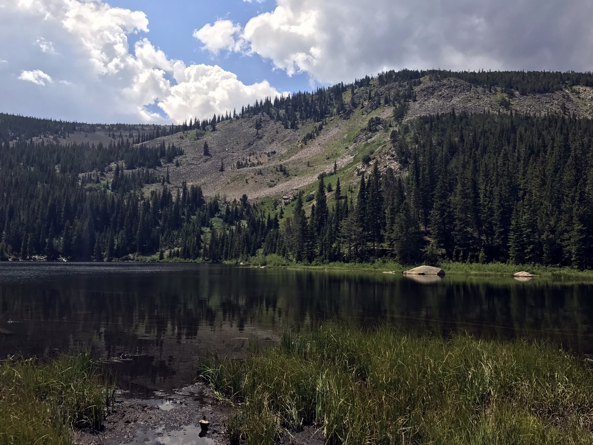
From the lake, you will enjoy views of Mt. Neva and Mt. Jasper off in the distance. Once you’ve had your fill of views, you can hike back the way you came.
Frequently asked questions about Lost Lake, Colorado
Can you swim in Lost Lake?
Yes, you can swim in the Lost Lake and this lake will have the warmest water then surrounding lakes.
Can you fish at Lost Lake?
Yes, you are able to fish in the Lost Lake, however, make sure you have the permit to do so.
How long is the Lost Lake Trail?
The Lost Lake Trail is a 2.8mi trek that loops around the lake.
If you want to find other great hikes in Indian Peaks Wilderness, check out the Lone Eagle Peak hike, Lake Isabelle trail, Rainbow Lakes trail or the Arapaho Glacier Trail.
Insider Hints
Unimproved camping is available at 4th of July Campground, you might be able to guess how this area came to be named 4th of July, here is a guess; it has to do with snow!
To limit traffic to the trailhead, the Town of Nederland and the RTD bus system offers a free shuttle to the trailhead. The shuttle leaves from the Nederland Park and Ride Bus Station.
Visit the Town of Nederland, and grab a bite at Crosscut Pizzeria & Taphouse or a beer at the Very Nice Brewing Company after your hike.

Similar hikes to the Lost Lake Hike hike

Caribou Pass Hike
The Caribou Pass Trail scales the west side of the Continental Divide. This short but steep hike will get your…

Buchanan Pass Loop
The Buchanan Pass Loop is an awesome adventure trail. Adults and kids alike will enjoy this wildflower-speckled trail as it…

Beaver Creek Trail
Beaver Creek Trail is a great wooded hike through the Colorado wilderness. With picturesque babbling brooks and past vast wildflower…
Lawrence Rossiter 4 years ago
Easy, kid-friendly, good for a picnic day.
marysmith 4 years ago
I just want to say that the name of this hike was perfect. We did this hike year 2018 summer, and we almost got lost because there wasn't enough signage. It's good to see how things have improved btw.
Adamcox 4 years ago
There aren't enough words to describe how incredible this trip was
Suzy TQ 4 years ago
Gorgeous combination of valley/mountain views, waterfall and lake. It’s steep in parts and the trail is rocky. Such a magical time!
Kelsi Honet 4 years ago
Nice hike. The trail was mostly flat, aside from the slight incline as you get closer to the waterfall.
Jethro P. 4 years ago
Amazing nature escapade. Saw a beautiful waterfall along the way.
Stevie M 4 years ago
Beautiful place with amazing views. Takes about 3 hours for the round-trip to lost lake
Jay Adams 4 years ago
Nice benign trail. Love the serenity of the area. The tranquility was addictive.
Jane Lewitt 4 years ago
The trail I always go to if I want a quick touch up with nature. Short but full of beautiful views.The trail I always go to if I want a quick touch up with nature. Short but full of beautiful views.
BoulderBound 4 years ago
Relaxing and easy hike. Peaceful and not too crowded.