Pawnee Pass hike
View Photos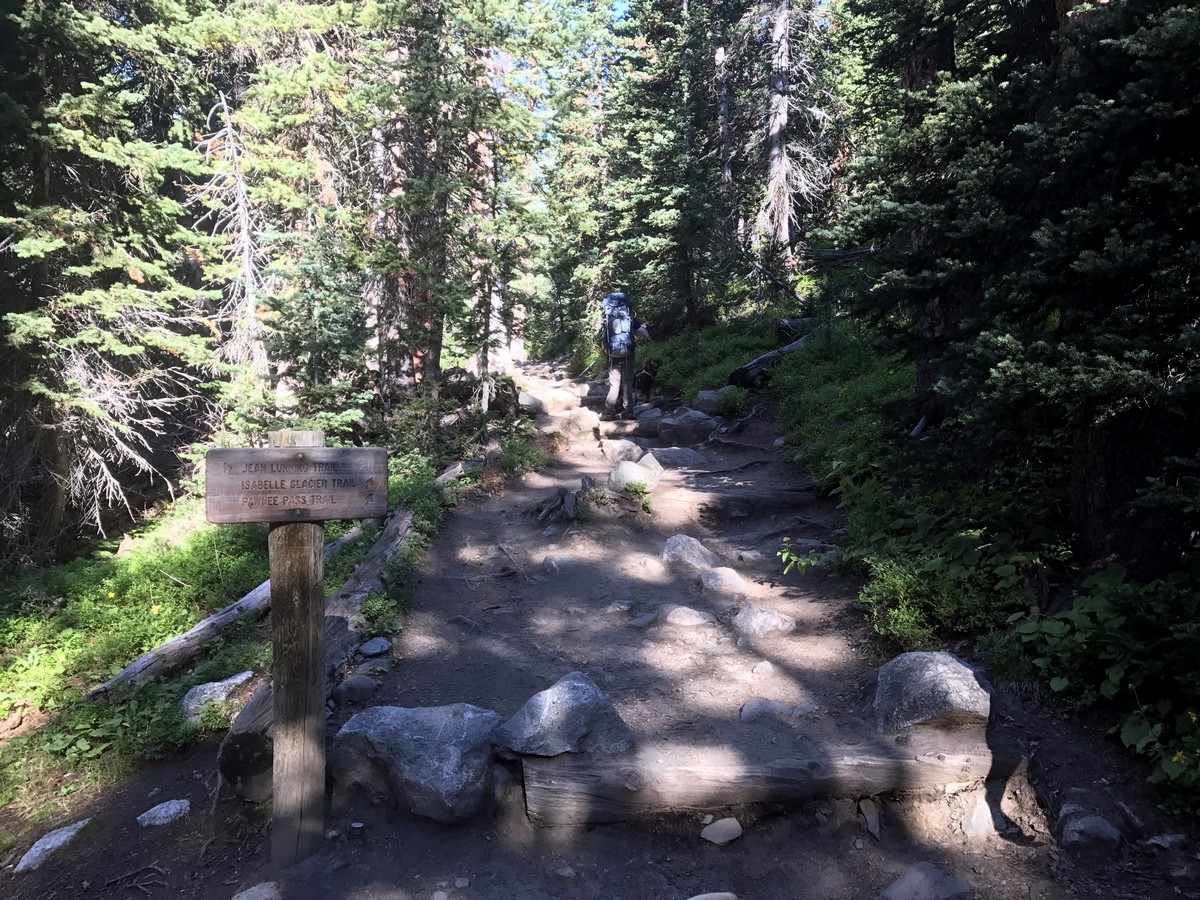
Pawnee Pass hike
Difficulty Rating:
This is a burly hike that can be done as either a long day-hike, or it can be stretched out into a multi-day backcountry camping trip, with access to the Continental Divide. There’s lots of elevation to be gained, so be prepared.
Getting there
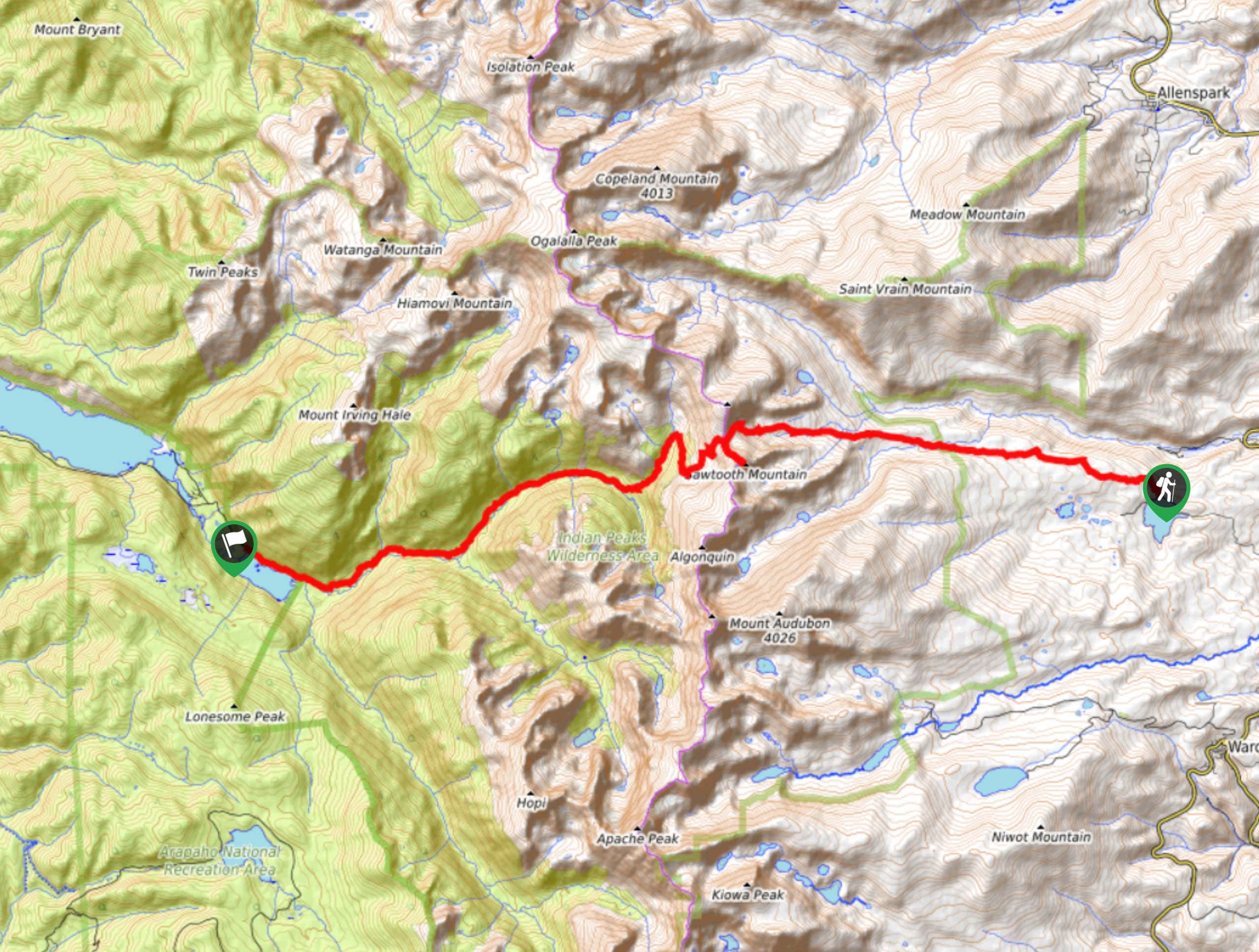
From Boulder, drive to and through the town of Ward. Turn right onto CO-72 then quickly turn left onto Brainard Lake Rd. Go through the pay gate heading to Long Lake Trailhead.

About
| When to do | Early June to Late September |
| Backcountry Campsites | Yes at Pawnee Campground |
| Toilets | Yes |
| Family friendly | No |
| Route Signage | Average |
| Crowd Levels | High |
| Route Type | Out and back |
Pawnee Pass
Elevation Graph
Weather
Route Description for Pawnee Pass
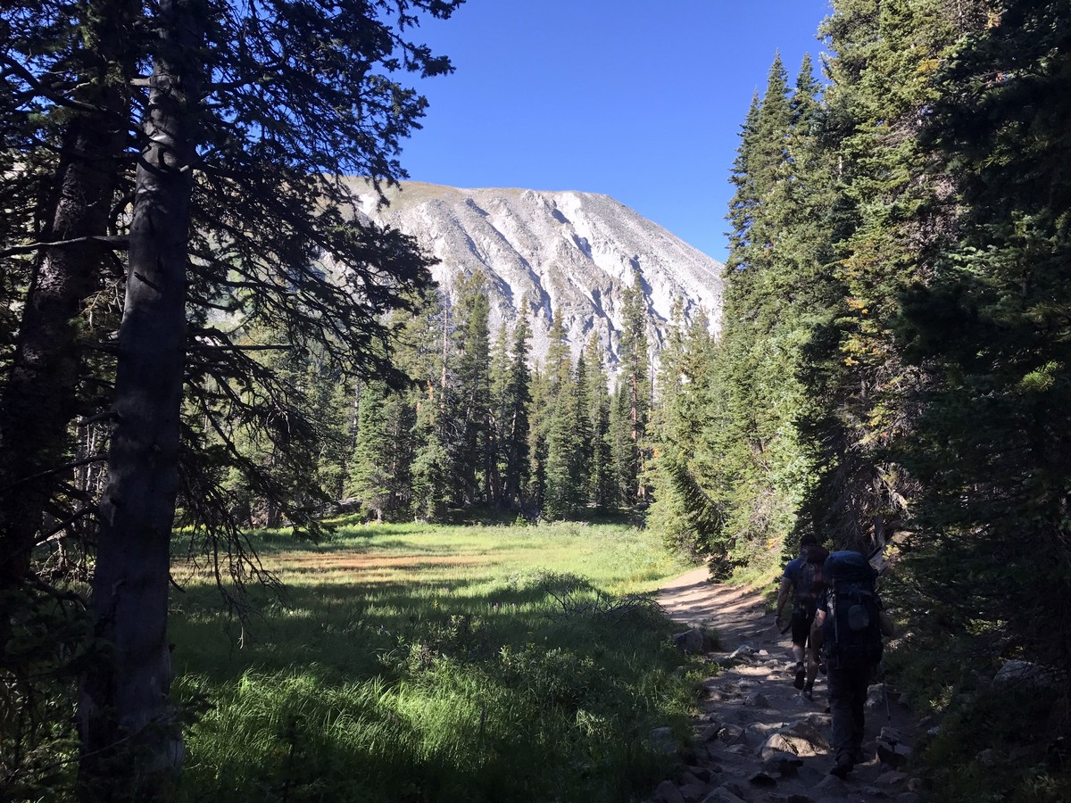
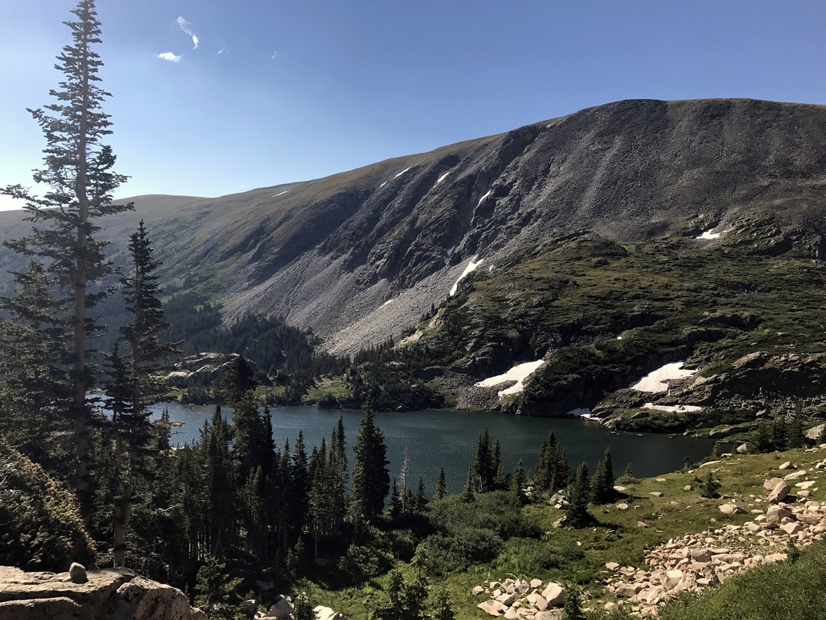
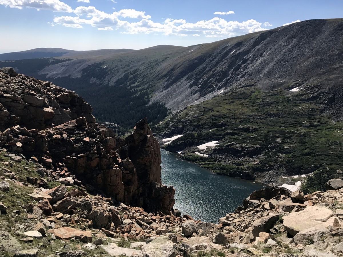
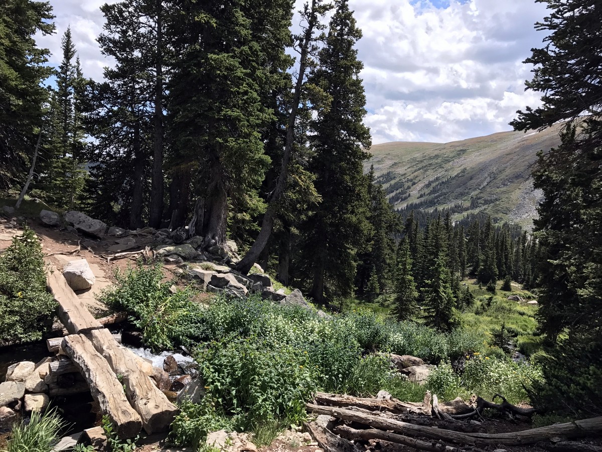
Pawnee Pass Trail starts from the Long Lake Trailhead. From the trailhead, you will gradually ascend through the forest until you reach Long Lake. At Long Lake the views open up and you should be able to see Isabelle Glacier and the surrounding Indian Peaks.
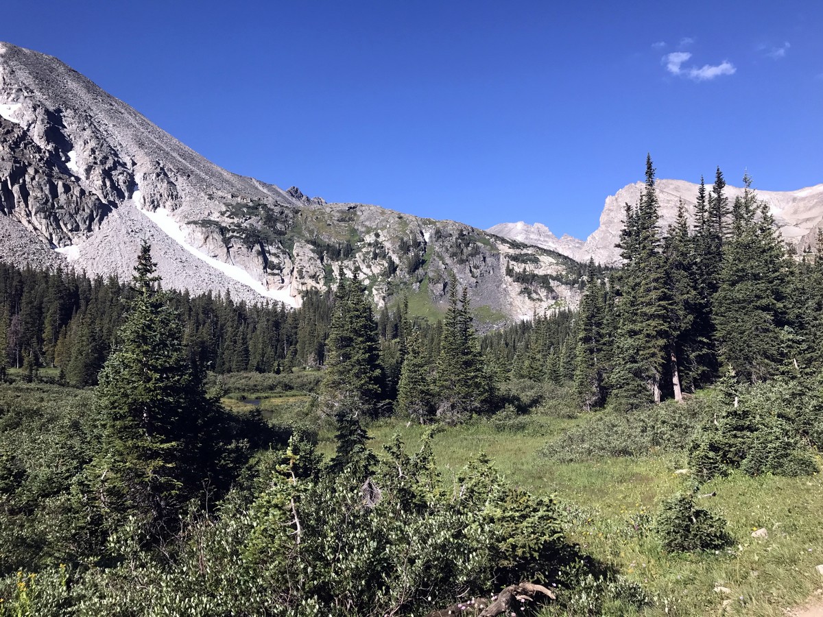
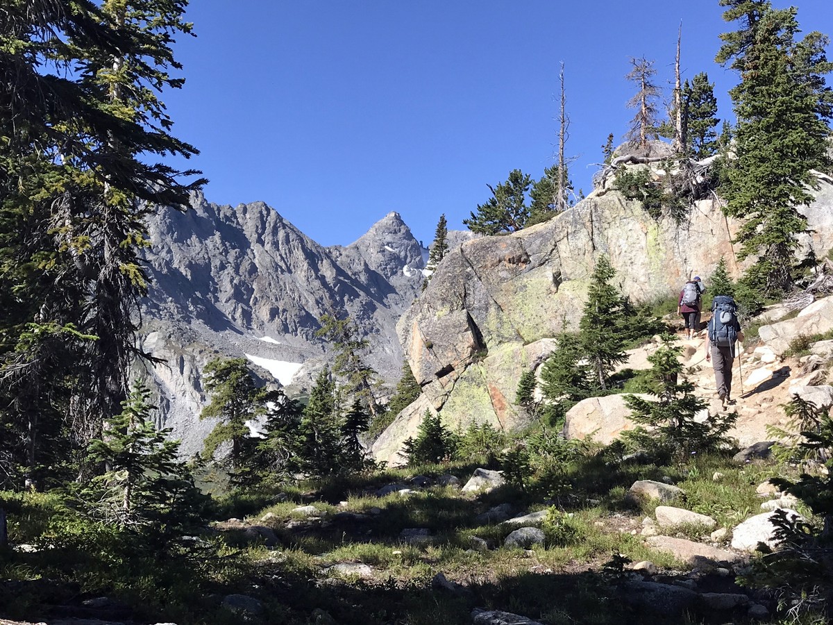
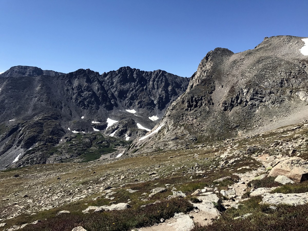
You will understand why it is called Long Lake as you continue to hike along the shore further back into the mountains. Past Long Lake, the trail gains elevation, and slowly ascends above the tree line.
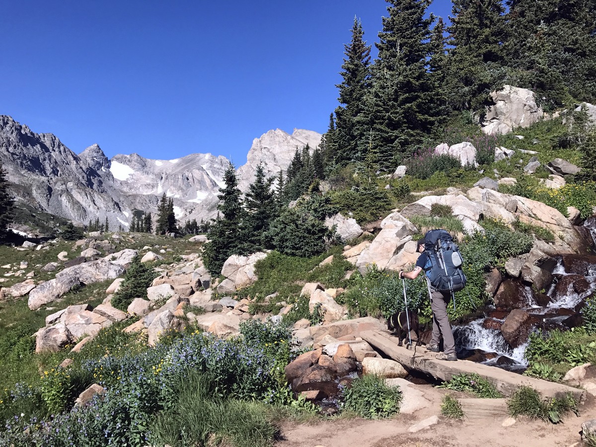
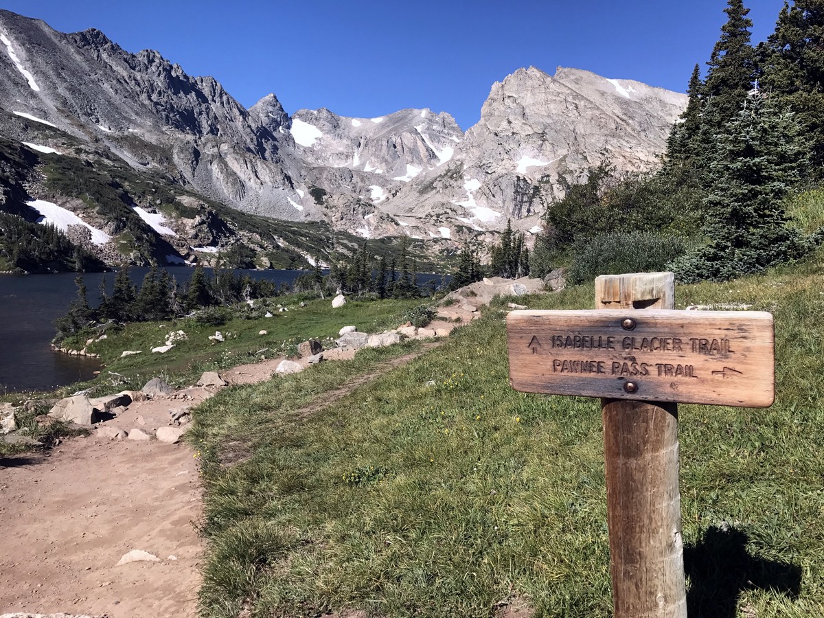
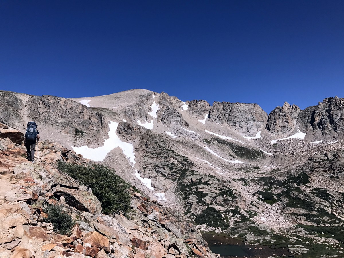
It is at the junction for Isabelle Glacier and Pawnee Pass when the trail turns uphill. A steep switchback section rises high above Lake Isabelle. This section is challenging, but the views make it totally worth the effort.
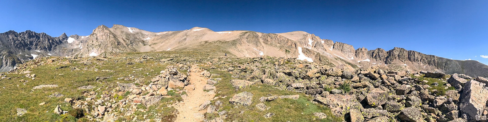
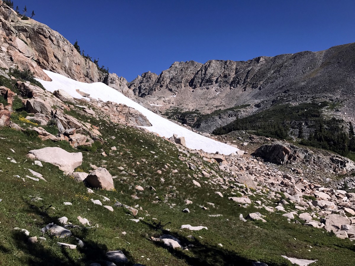
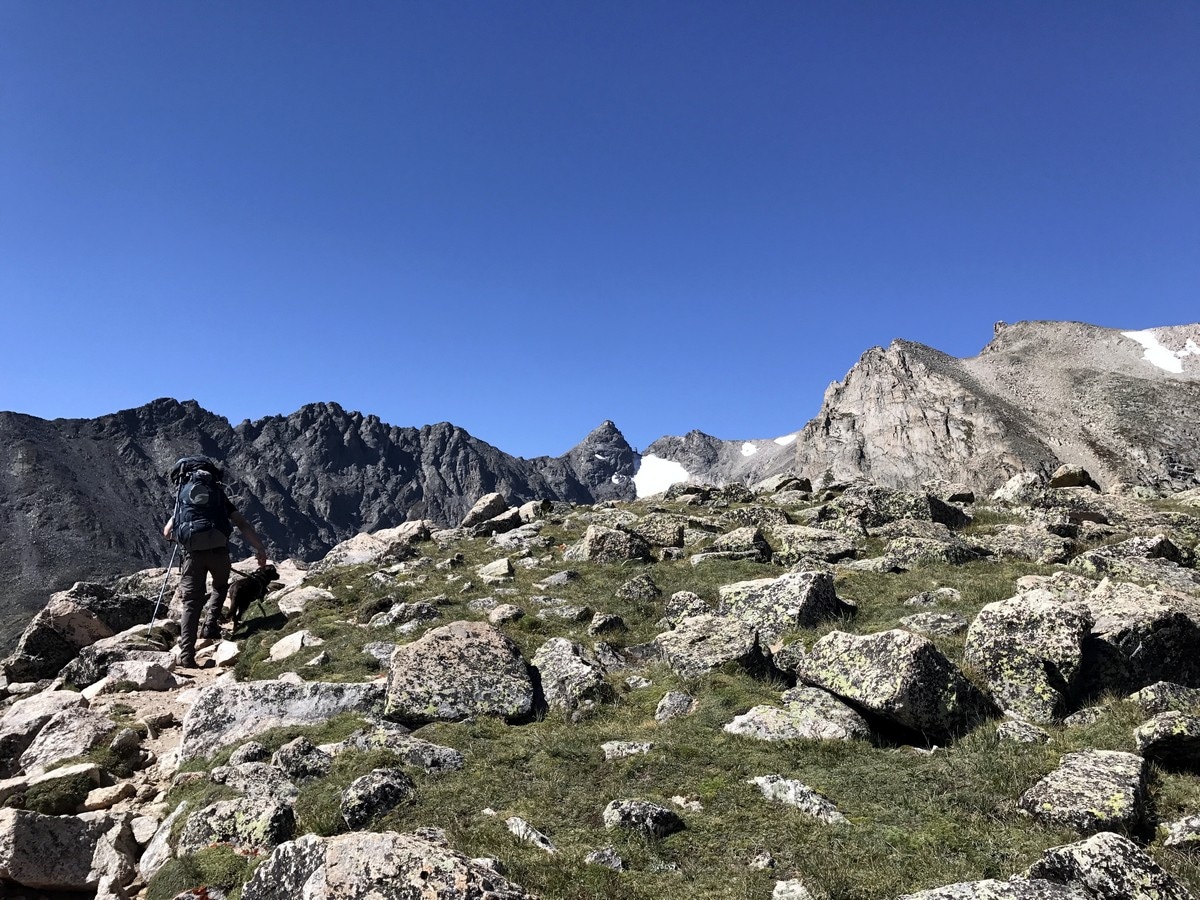
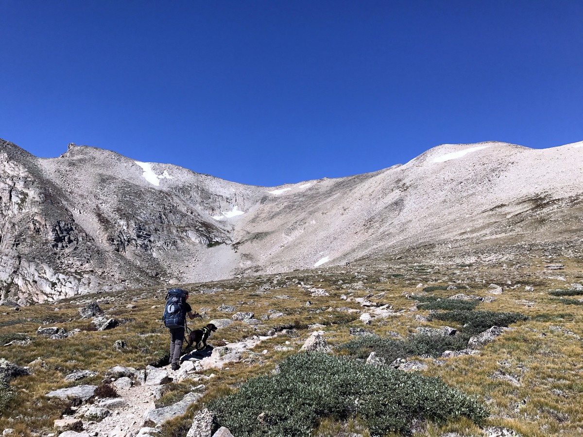
Once above the tree line, you will find yourself on a flat alpine meadow with a breathtaking view of the Front Range. Catching your breath on this flat section, you are faced with the next challenge, the rocky switchbacks over the Continental Divide.
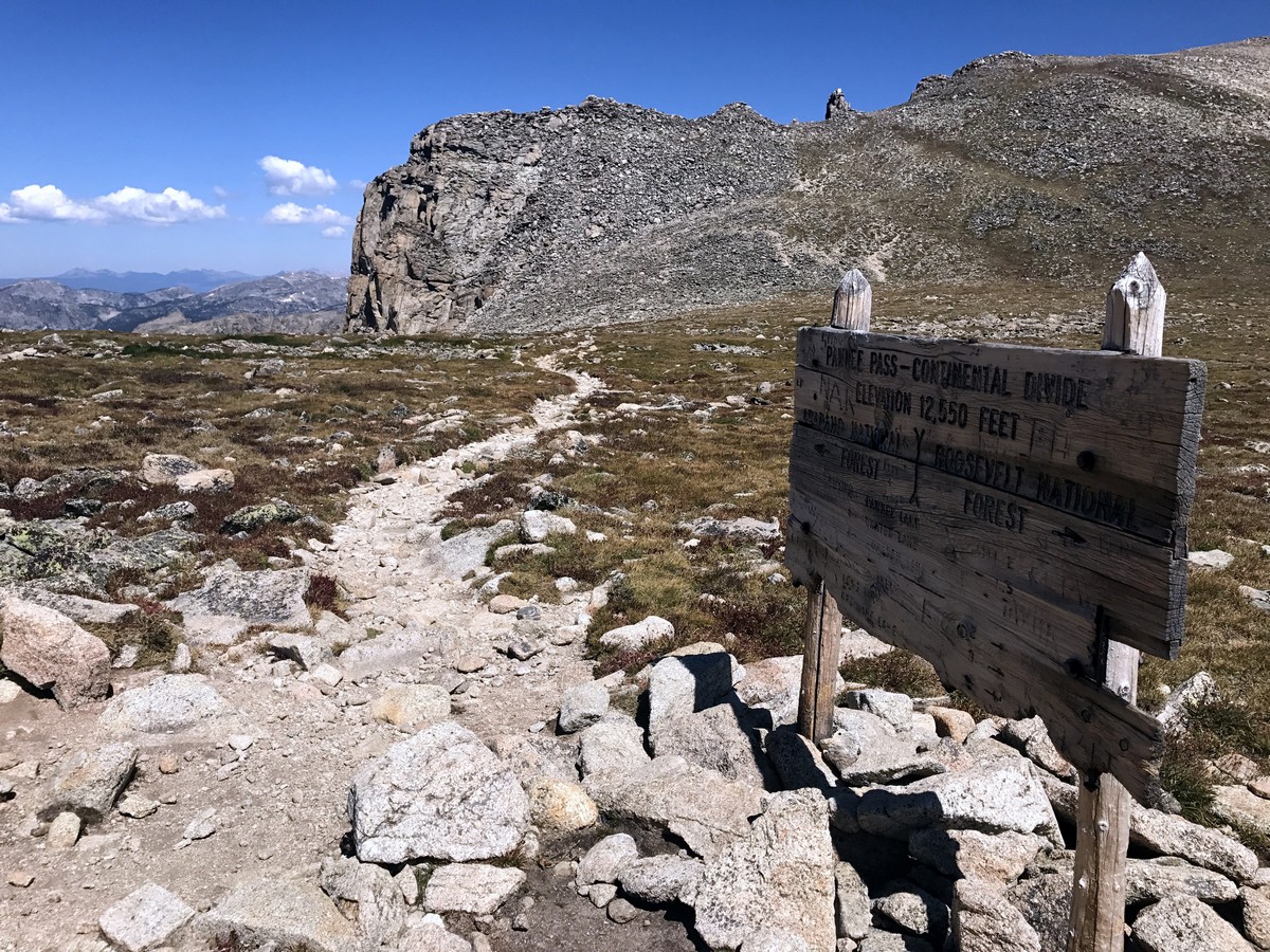
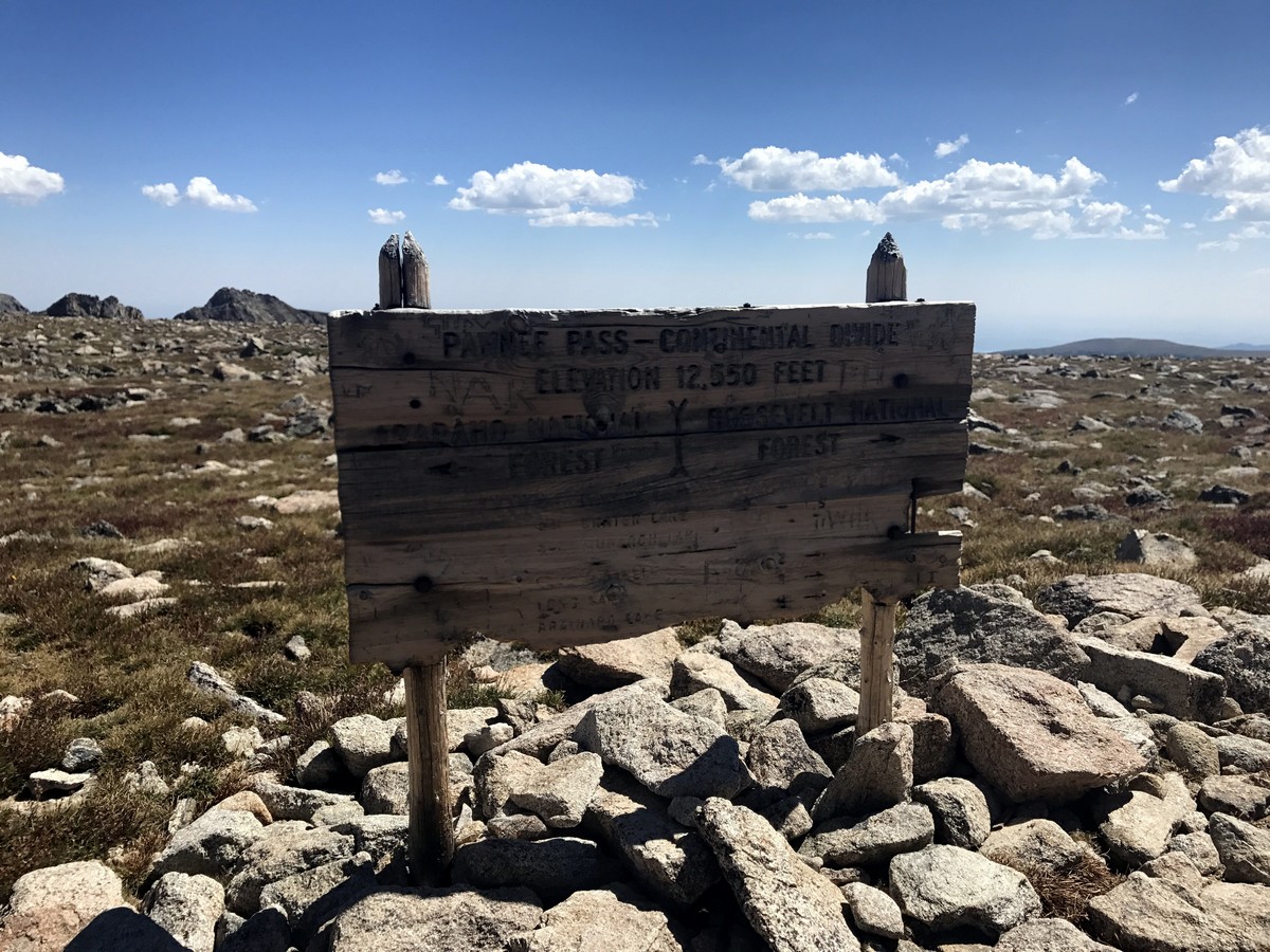
Closer to the top of the Pass, the trail will level off until you reach the top of Pawnee Pass. A wooden sign and a windbreak shelter designate the dividing line of the Continental Divide at an elevation of 12550ft. This is also the turnaround point for the day hike.
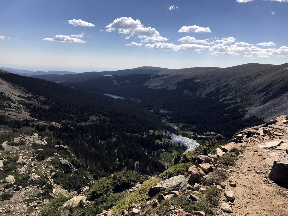
It is worth the few hundred feet to peak over the edge to the other side. Looking down you’ll see the Pawnee Pass trail continue on to the West side of the divide. The path back is the same one you came in on.
If you want to find other great hikes in Indian Peaks Wilderness, check out the Lone Eagle Peak hike, Lake Isabelle trail, Rainbow Lakes trail or the Arapaho Glacier Trail.
Insider Hints
An annual National Park Pass is accepted at the gate, otherwise Brainard Lake Recreation Area is Cash Only ($11 per Passenger Vehicle).
Gate Fees and more information can be found here.
Set out on this hike early to avoid the chance of getting caught in an afternoon or evening storm.

Similar hikes to the Pawnee Pass hike

Caribou Pass Hike
The Caribou Pass Trail scales the west side of the Continental Divide. This short but steep hike will get your…

Beaver Creek Trail
Beaver Creek Trail is a great wooded hike through the Colorado wilderness. With picturesque babbling brooks and past vast wildflower…
Beaver Reservoir to Monarch Lake Hike
Beaver Reservoir to Monarch Lake Hike is a one-way trail in the Indian Peaks Wilderness. We love this hike because…
rosevalley 4 years ago
Pawnee Pass got an incredible topography. Such a feast for my eyes.
TopherSan 4 years ago
Simply breathtaking! Pawnee Pass Hike got plenty of exquisite views to offer.
CandyJ 4 years ago
It has some remarkable scenery.
Kelsi Honet 4 years ago
The natural beauty of the surroundings was outstanding. I enjoyed the sightings of various attractions along the trail.
Jethro P. 4 years ago
Gorgeous hike with few rocky switchbacks and challenging sections. I would rate it as a moderate hike even though I sweat a lot.
Lawrence Rossiter 4 years ago
It's not quite as bad (in my opinion) as the description suggests- sure, I was sweaty, but I enojyed it and didn't feel overwhelmed. Would like to come back and make a backcountry camp out of it next summer.
Jay Adams 4 years ago
This hike is absolutely stunning despite the rugged sections.
Stevie M 4 years ago
I highly recommend this trail. It was very scenic and not too difficult for me.
Susanne P. 4 years ago
Gorgeous hike in the park. Good hike with moderately easy trail.
Jericho D. 4 years ago
We started before the sunrise to avoid the crowd, and it's pretty cool. Although there were few hikers, it wasn't so crowded, so we got to enjoy the peacefulness of the surroundings.