
Devil’s Thumb Lake Trail
View Photos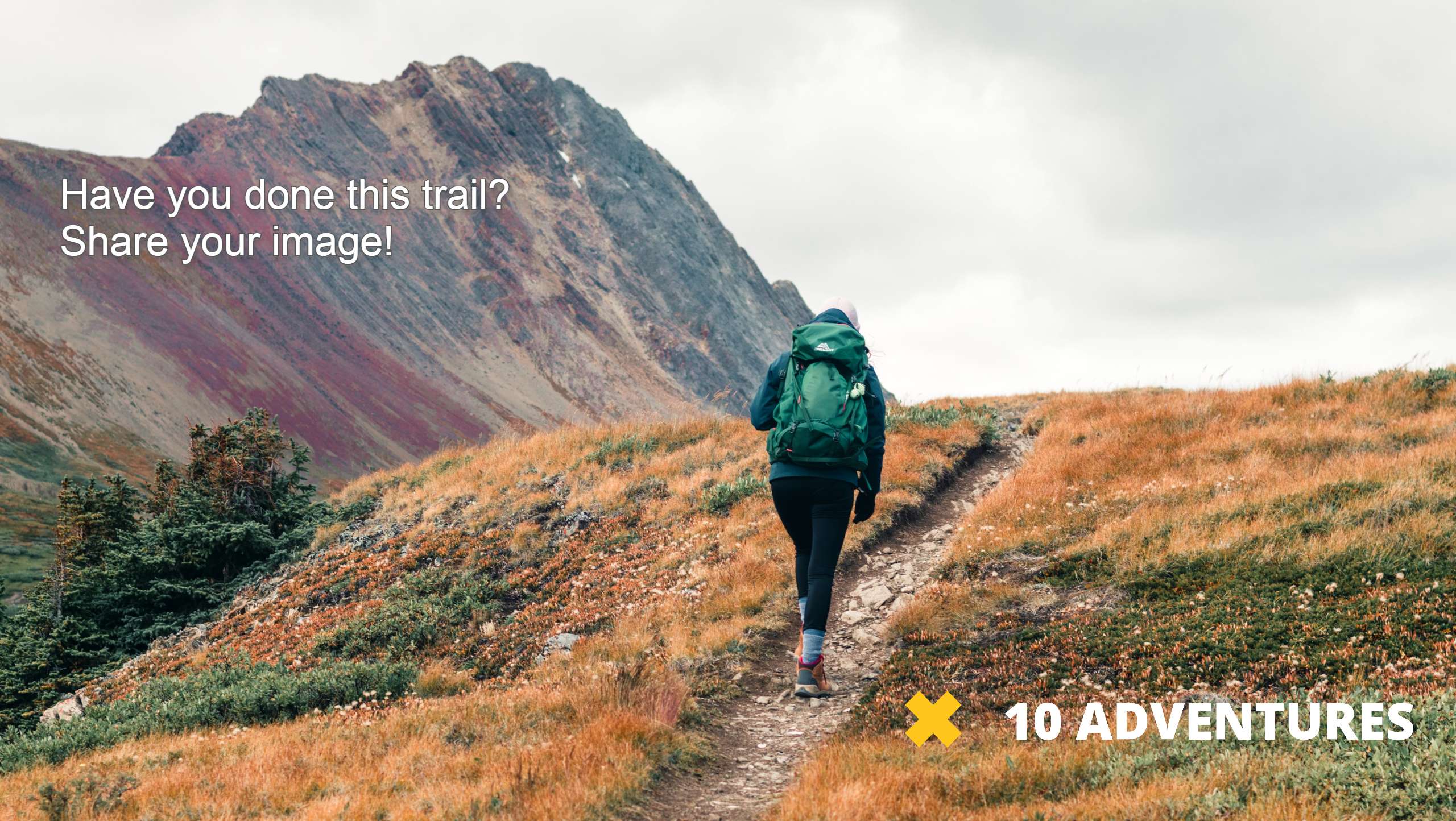
Devil’s Thumb Lake Trail
Difficulty Rating:
The Devil’s Thumb Lake Hike is a picturesque excursion in the Indian Peaks Wilderness. From the trailhead all the way to the lake, there are stunning sights to motivate tired hikers. The gradual elevation of the trail will get your blood pumping as you summit to Devil’s Thumb Lake. Though other trails culminate at the lake, the Devil’s Thumb Lake Hike may be the most impressive.
Getting there
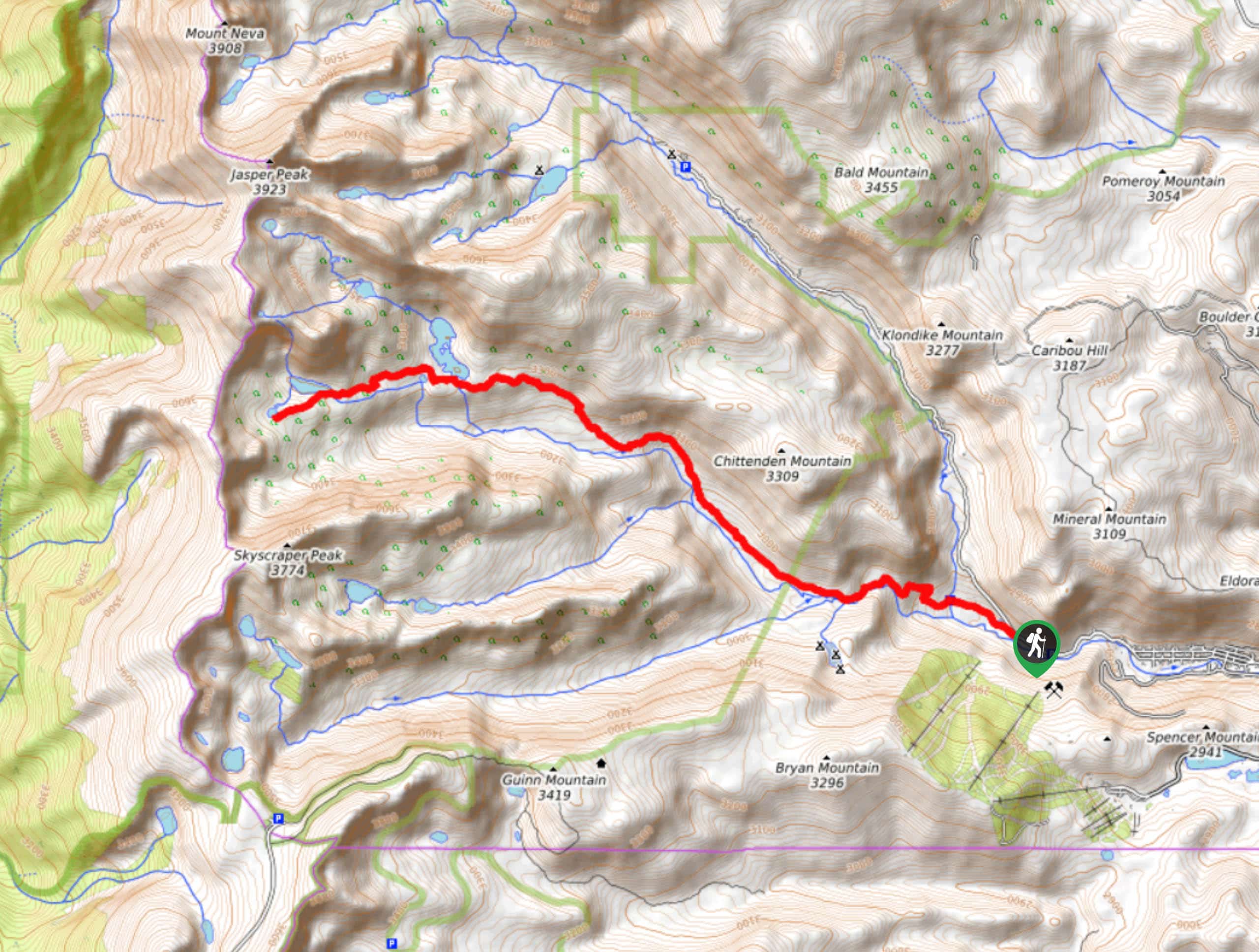
The trailhead for the Devil’s Thumb Lake Hike is off the Fourth of July Road at the Hessie Parking Lot.

About
| Backcountry Campground | Yes, permits required. |
| When to do | June-October |
| Pets allowed | Yes - On Leash |
| Family friendly | Older Children only |
| Route Signage | Average |
| Crowd Levels | High |
| Route Type | Out and back |
Devil’s Thumb Lake Trail
Elevation Graph
Weather
Devil’s Thumb Lake Hike Description
The Devil’s Thumb Lake Trail is a crowd-favorite, so the parking lot fills up fast! The trail begins from the Hessie Carpark—arrive early to secure a spot! If you are worried about parking, consider taking the RDT free shuttle from the town of Nederland! This stunning Colorado trail is fairly shaded as it guides you through the lush alpine forest towards Devil’s Thumb Lake. Make sure you have your camera ready as there will be several scenic lookouts as you ascend the trail! Also keep your eye out for moose—they are abundant in this area.
The Devil’s Thumb Lake Trail departs from the Hessie Parking Lot and Trailhead. From the carpark, head west on the Devil’s Thumb Trail. Follow along the wooded path as it weaves through creeks, past small cascading waterfalls, and gradually gains elevation. You will encounter an intersection, stay right as you merge onto the Devil’s Thumb Bypass Trail. Continue your ascent on the bypass trail as it hugs the curves of Jasper Creek and guides you through a valley.
As you progress along the forested trail you will confront another fork in the road, veer left onto the Devil’s Thumb Trail. You will eventually pass Jasper Lake. Take a breather and enjoy the sights of the waterfalls and crystalline lake. The last segment of the hike will lead you to Devil’s Thumb Lake. Enjoy the scenery of the picturesque alpine lake and encompassing peaks before continuing along the trail until you reach the Alpine Pond. This is the turnaround point.
If you are seeking a longer hike, continue past Alpine Pond and ascend the steep ridge to the Devil’s Thumb Pass. If you are content with the impressive views the hike has already offered, retrace your footsteps down to the carpark.
Similar hikes to the Devil’s Thumb Lake Trail hike

Caribou Pass Hike
The Caribou Pass Trail scales the west side of the Continental Divide. This short but steep hike will get your…

Buchanan Pass Loop
The Buchanan Pass Loop is an awesome adventure trail. Adults and kids alike will enjoy this wildflower-speckled trail as it…

Beaver Creek Trail
Beaver Creek Trail is a great wooded hike through the Colorado wilderness. With picturesque babbling brooks and past vast wildflower…
Comments