
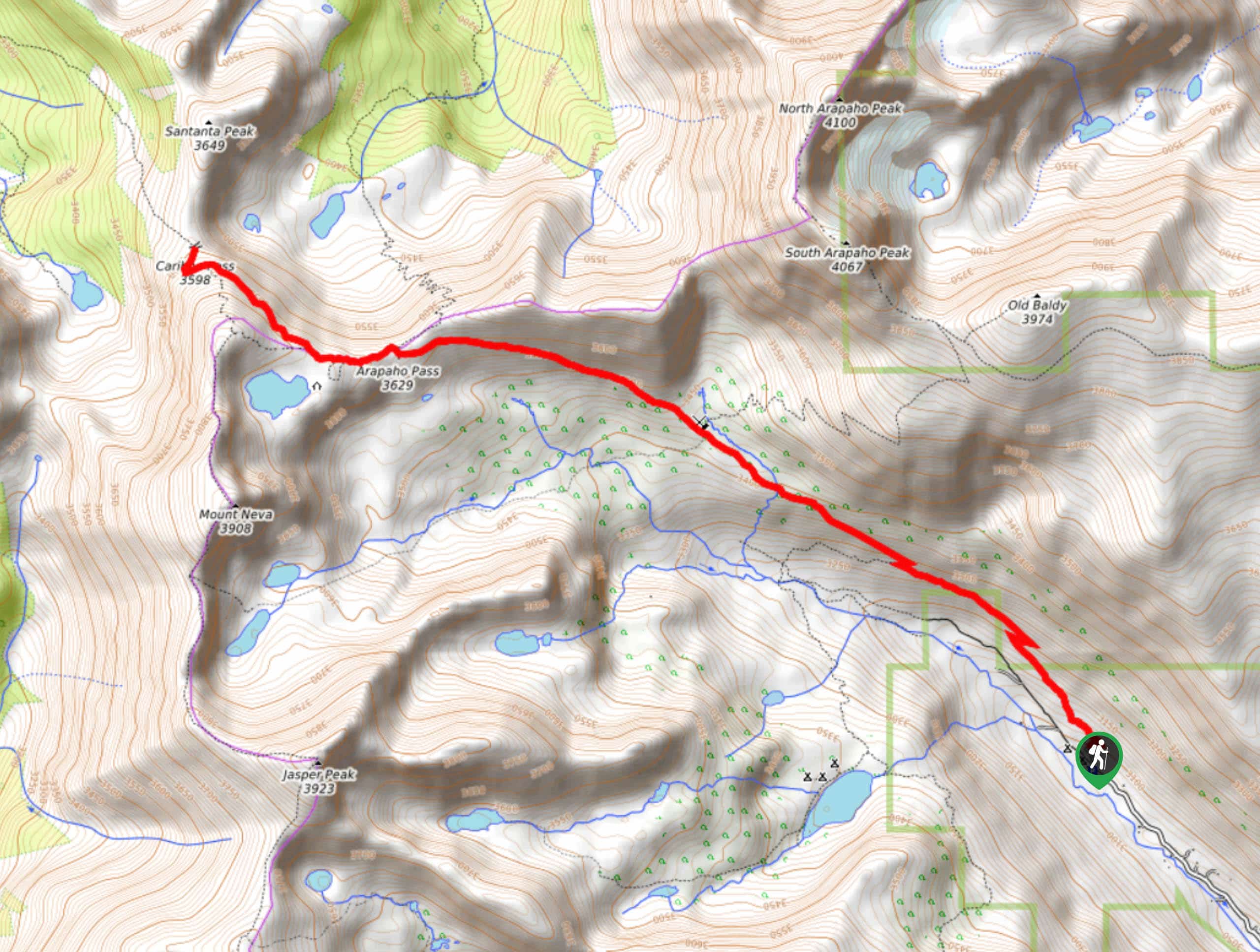
Caribou Pass via Arapaho Pass Trail
View Photos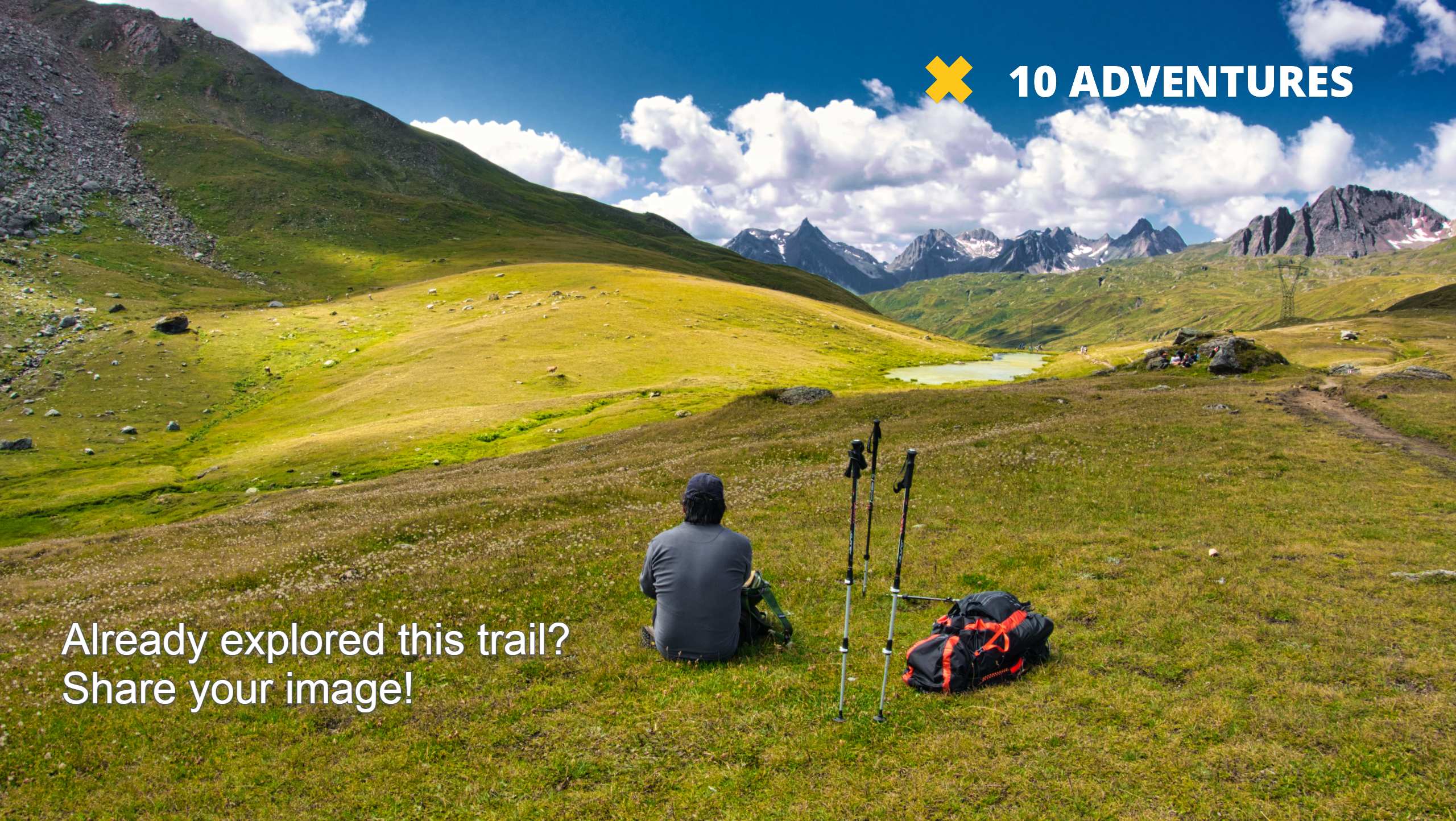
Caribou Pass via Arapaho Pass Trail
Difficulty Rating:
This trail is scenic from start to finish. The Caribou Pass via Arapaho Pass Trail will guide you through the verdant alpine forest, across quaint log bridges, through meadows and up to the Caribou Pass. When you summit the pass, you will be rewarded with unparalleled vistas of the sky-scraping Indian Peaks and lush alpine forest below. We love this trail and if you don’t mind venturing off the beaten path, then you will too.
Getting there
The Caribou Pass via Arapaho Pass Trail begins from the Fourth of July Trailhead at the end of the Fourth of July Road.

About
| Backcountry Campground | Yes, permits required. |
| When to do | June-September |
| Pets allowed | Yes - On Leash |
| Family friendly | Older Children only |
| Route Signage | Average |
| Crowd Levels | Moderate |
| Route Type | Out and back |
Caribou Pass via Arapaho Pass Trail
Elevation Graph
Weather
Caribou Pass via Arapaho Pass Trail Hike Description
The Caribou Pass via Arapaho Pass Trail will guide you through several quintessential Colorado terrains. You will make your way through aspen forests, along babbling brooks, across vast meadows and up to alpine lakes all before culminating at the pass. This trail consistently ascends in elevation, only getting steeper in the rearmost segment near the pass. Make sure you have on sturdy shoes and be prepared to scramble a bit up to the pass.
The Caribou Pass via Arapaho Pass Trail departs from the Fourth of July Trailhead and parking lot. The parking lot fills up fast so arrive early. Set out on the Arapaho Pass Trail. This path will guide you through the forest and past waterfalls. Stay right at the first junction and ascend as you hike above the treeline. Continue until you meet the Fourth of July Mine and intersection. At this point, stay straight on the Arapaho Pass Trail as it heads northwestward. Follow this path as the terrain gets steeper and rockier as you climb Arapaho Pass. Once you summit the pass, Lake Dorothy will be in the south and Caribou Lake in the North. Stay on this trail. At Dorothy Lake, veer right and head northwest onto Caribou Pass Trail. This section of the hike is tricky, there is no set trail as it becomes steep and rocky. Use your judgement as you climb up the ridge. Be careful as you navigate the loose scree to the pass.
You will summit the Caribou Pass and the vistas of the Indian Peaks will take your breath away. Enjoy the up close and personal view of Santanta Peak before beginning your descent. Be careful as you climb down the rocky field. Retrace your steps all the way back to the parking lot.
Similar hikes to the Caribou Pass via Arapaho Pass Trail hike

Caribou Pass Hike
The Caribou Pass Trail scales the west side of the Continental Divide. This short but steep hike will get your…

Buchanan Pass Loop
The Buchanan Pass Loop is an awesome adventure trail. Adults and kids alike will enjoy this wildflower-speckled trail as it…

Beaver Creek Trail
Beaver Creek Trail is a great wooded hike through the Colorado wilderness. With picturesque babbling brooks and past vast wildflower…
Comments