
Arapaho Glacier Trail
View Photos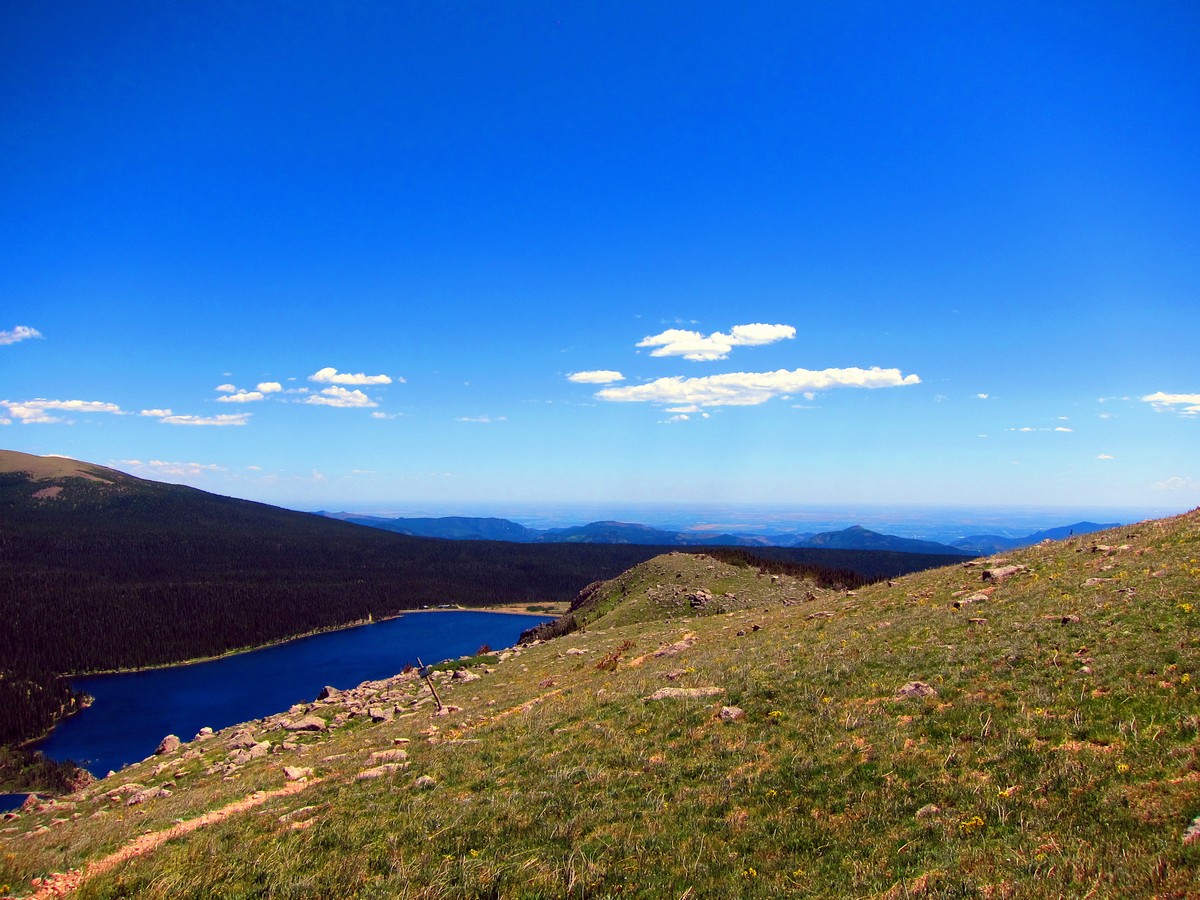
Arapaho Glacier Trail
Difficulty Rating:
The hike on this high alpine trail leads you to an overlook of Arapaho Glacier and one of the best views of the Continental Divide and Indian Peaks. Trail ends at the saddle of South Arapaho Peak. It’s a tough hike though; you'll want to bring hiking poles for this one.
Getting there
From Nederland, at the traffic circle, take 2nd exit onto W 2nd St. Continue onto CO-72 for 6.8mi. Take a left to Rainbow Lakes on CO-Rd. 116. Take gravel road for ~5.0mi to parking.

About
| When to do | Early June to Late September |
| Backcountry Campsites | Rainbow Lakes or backcountry with permit |
| Toilets | Yes |
| Family friendly | No |
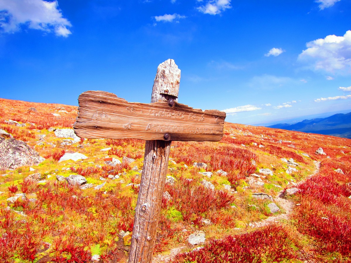
| Route Signage | Average |
| Crowd Levels | Moderate |
| Route Type | Out and back |
Arapaho Glacier Trail
Elevation Graph
Weather
Route Description for Arapaho Glacier Trail
From the parking lot, the trail ascends through the dense pine trees that make up Roosevelt National Forest. You’ll be on this forest trail for a couple of miles. You’ll skirt along the south boundary of the Boulder Watershed.
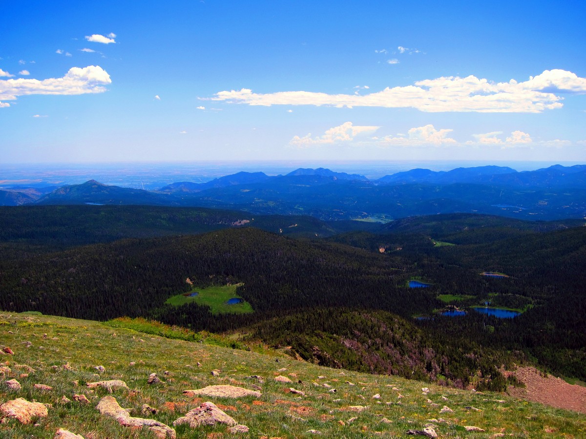
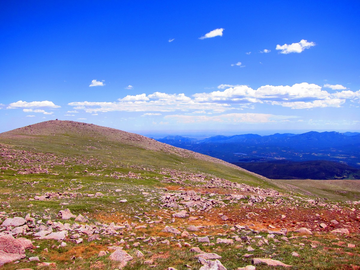
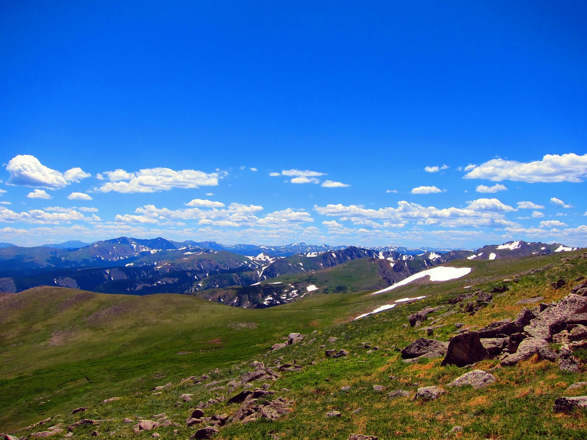
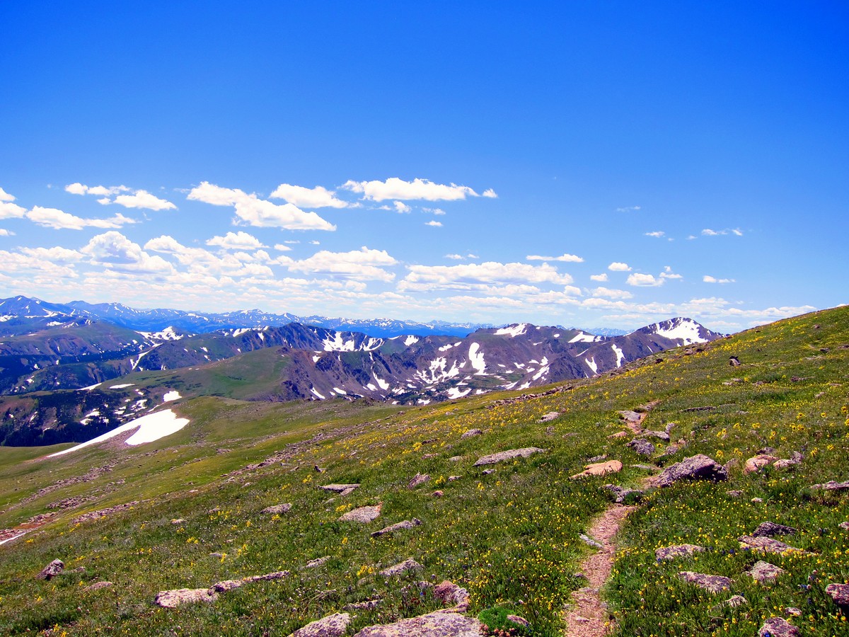
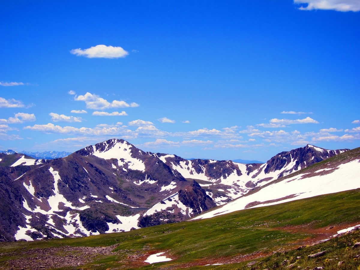
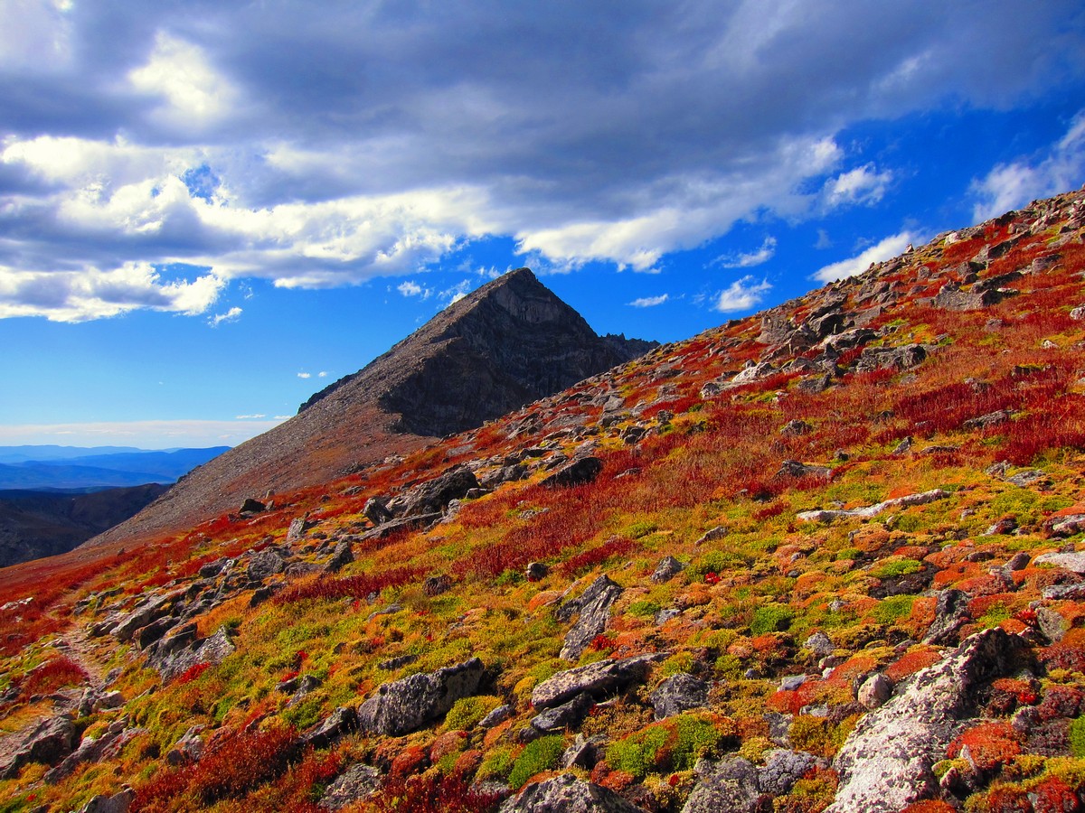
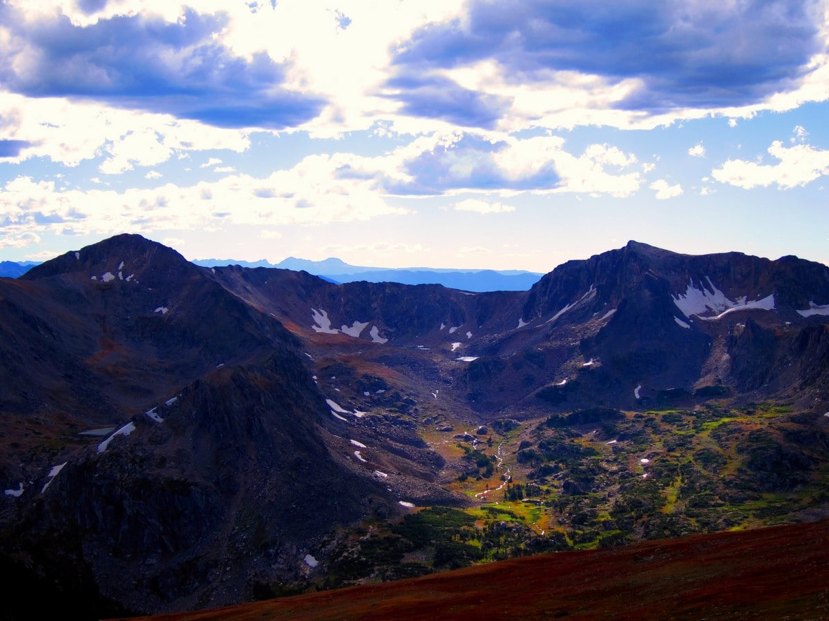
The trees will begin to thin. Suddenly, you’ll be hiking above the tree line. From this vantage, you’ll obtain panoramic views of the Indian Peaks Region including North Arapaho Peak, and the Continental Divide.
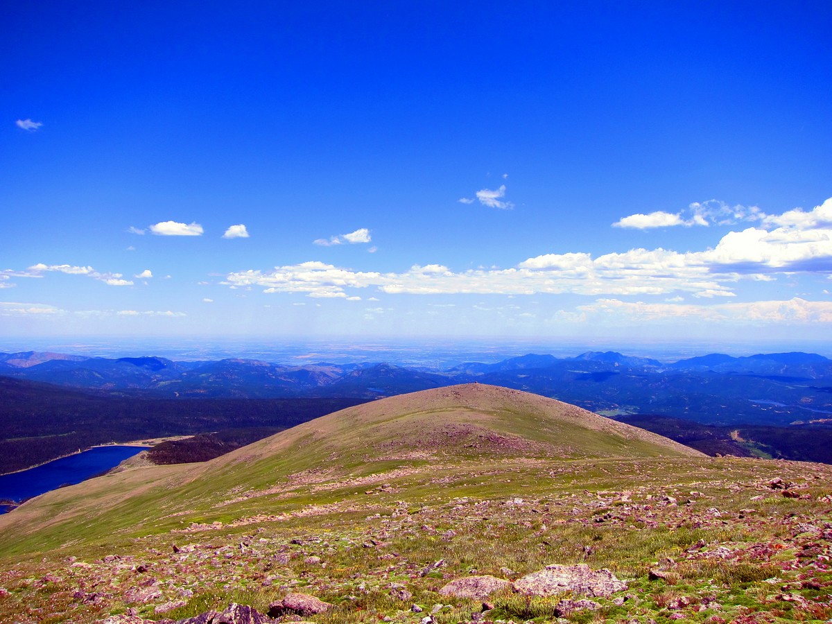
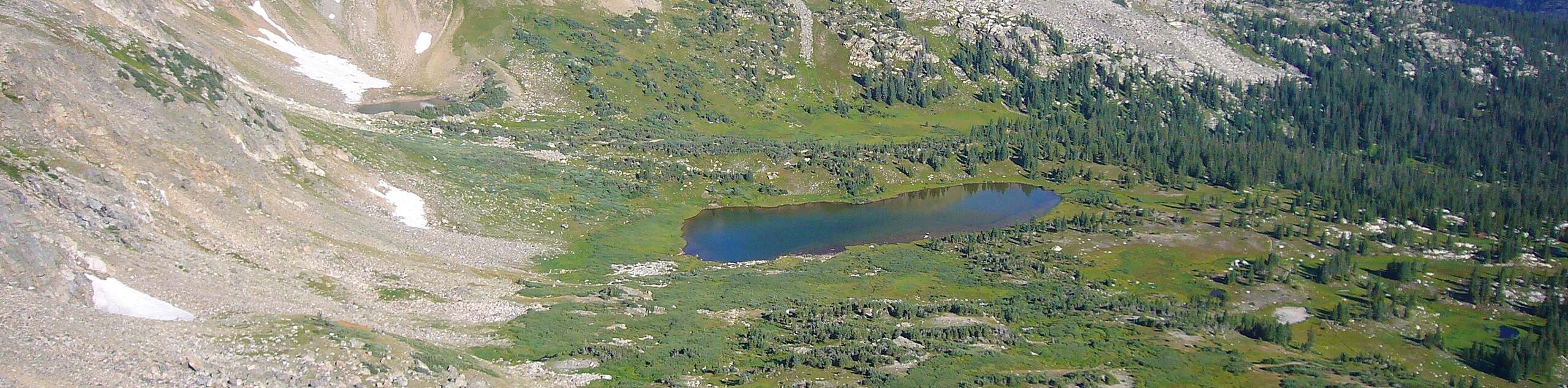
The trail gains elevation traversing along the North side of two unnamed alpine mountains. Above the tree line, you will enjoy views of Silver Lake (below) and North Arapaho Peak Cirque (above); as you hike over a saddle, you’ll get views of James Peak in the distance.
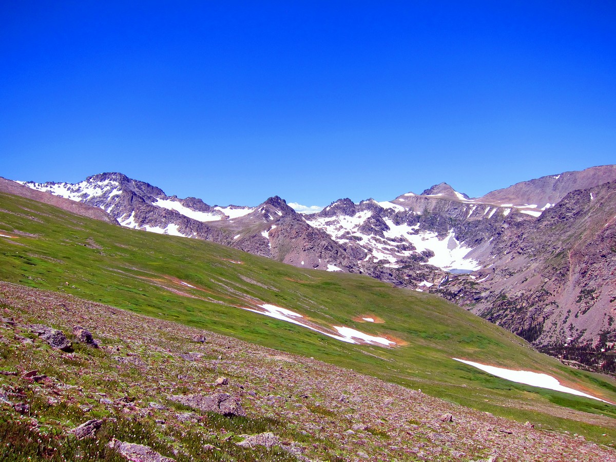
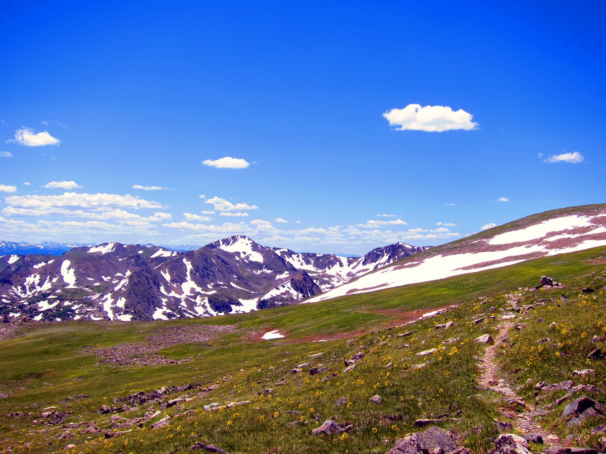
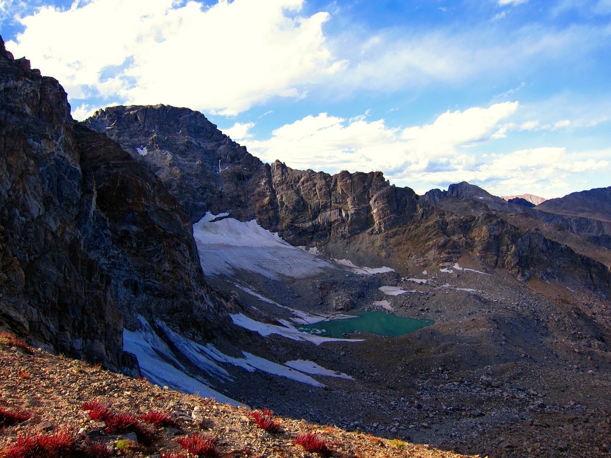
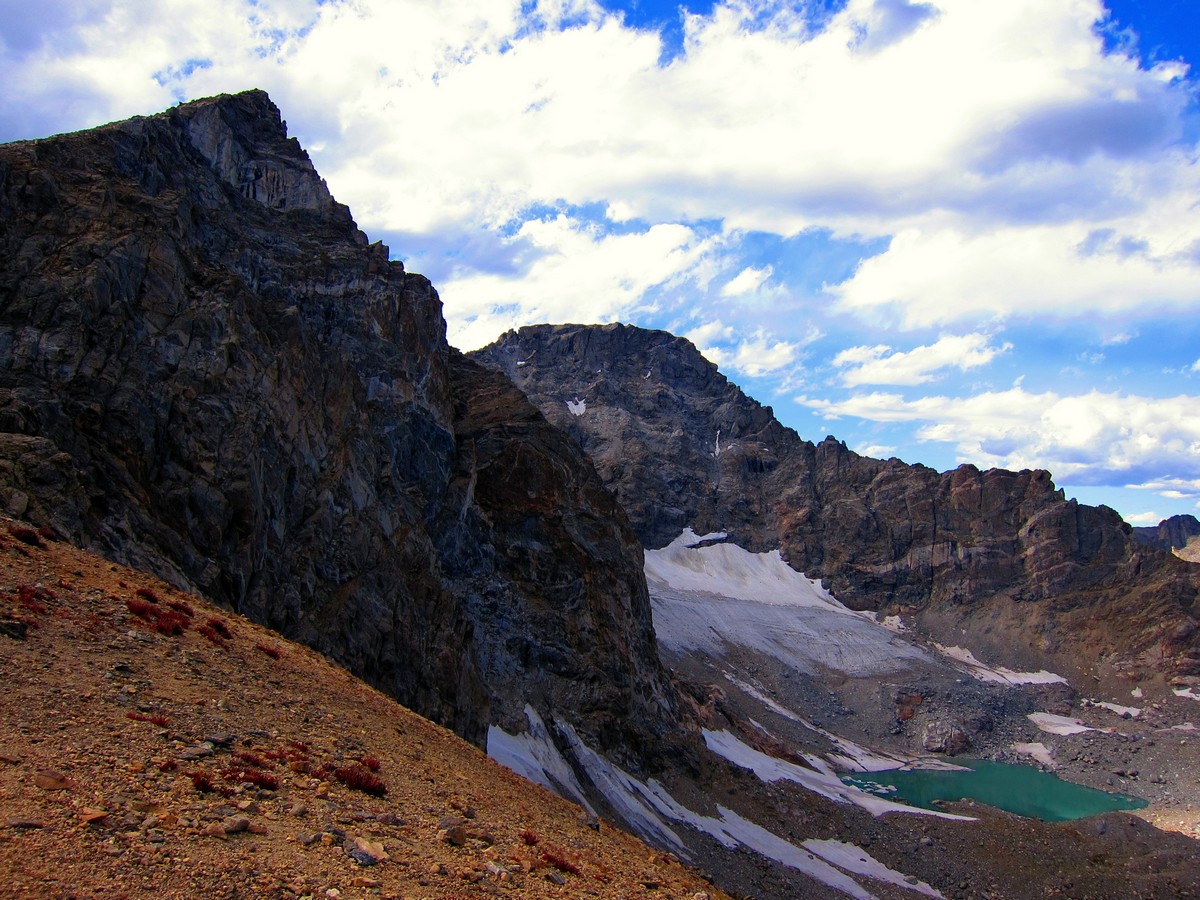
Continue along the well-marked trail until you reach the base of South Arapaho Peak and the Arapaho Glacier overlook. Arapaho Glacier used to be the largest glacier in the state of Colorado, and it once was the main source of fresh water for Boulder.
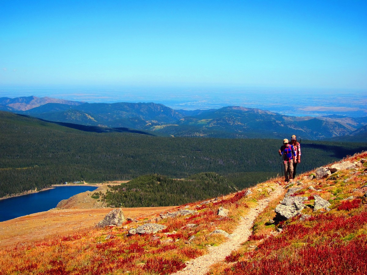
After appreciating the amazing view, return the way you came.
If you want to find other great hikes in Indian Peaks Wilderness, check out the Lone Eagle Peak hike, Lake Isabelle trail or the Rainbow Lakes trail.
Insider Hints
Unimproved camping is available along Co Rd. 116 if Rainbow Lakes Campground is full. (Wildlife Alert: Bears are common in this area, proper storage of food and supplies is required, otherwise expect to have guests!)
Altitude sickness is a concern on this trail. Bring plenty of water, stay hydrated and don’t party too hard the night before! Descend if you feel symptoms.
The pit toilets on the trail are only open during the peak season (6/1-9/15).
Visit the Town of Nederland, and grab a bite at Crosscut Pizzeria & Taphouse or a beer at the Very Nice Brewing Company after your hike.
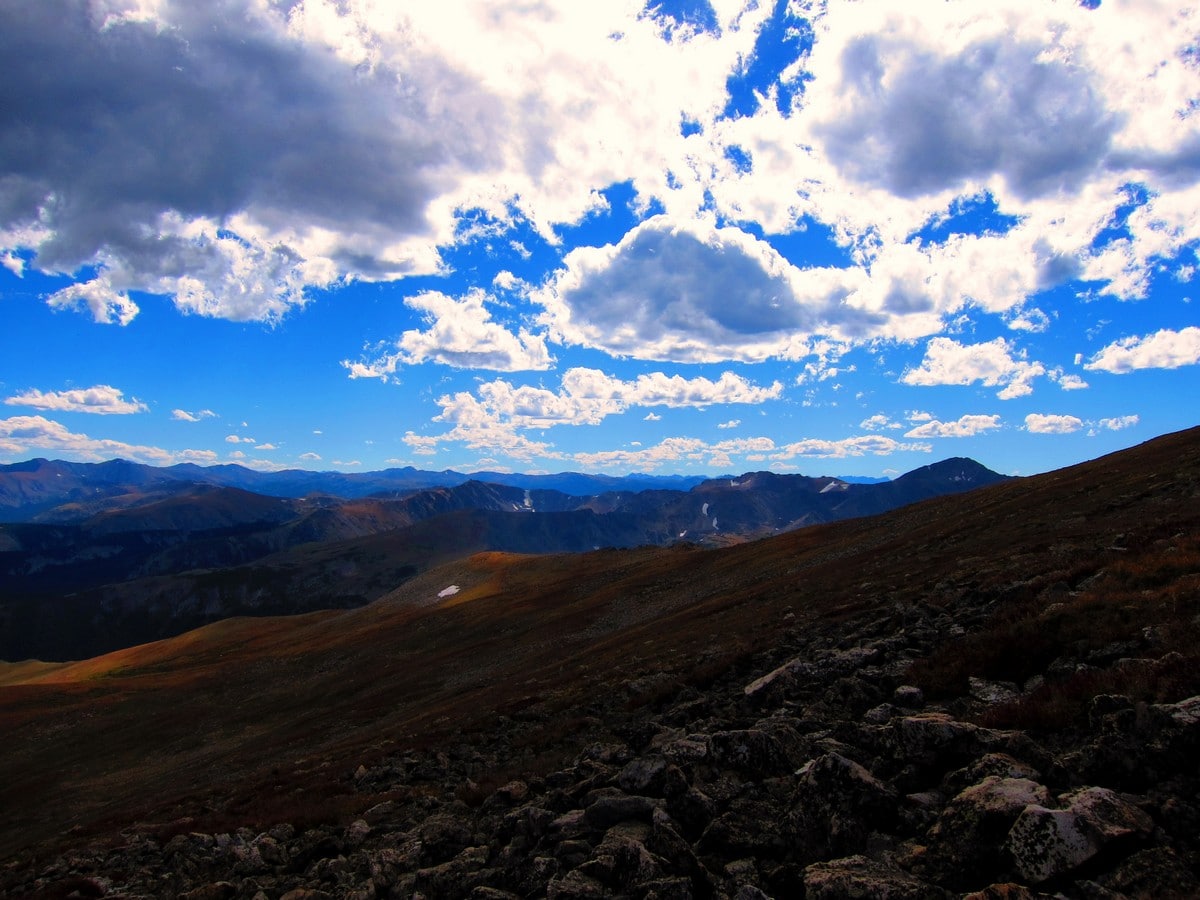
This trail is exposed to the elements. Be prepared for high winds, sun exposure and storms in the afternoon and evenings.
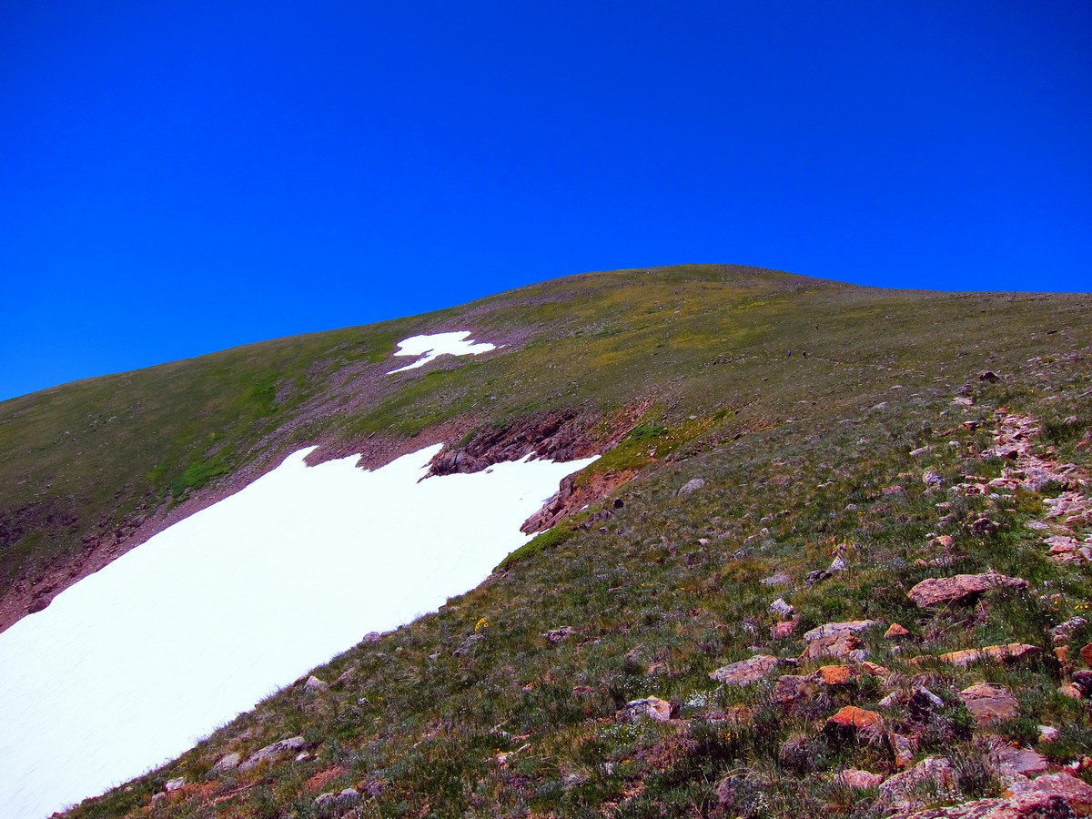
If this trail is done early in the season, expect there to be snow present - so bring traction.
The trail itself is an unmaintained, single track; expect tree roots, loose rocks and water from spring runoff. Trekking poles and hiking boots with support are ideal for this trail in all seasons.

Similar hikes to the Arapaho Glacier Trail hike
Beaver Reservoir to Monarch Lake Hike
Beaver Reservoir to Monarch Lake Hike is a one-way trail in the Indian Peaks Wilderness. We love this hike because…
Shoshoni and Pawnee Peaks Hike
Reserved for experienced hikers, this trail will surely get your blood pumping. The Shoshoni and Pawnee Peaks Hike will give…
Arapaho Pass via Monarch Lake Hike
The Arapaho Pass via Monarch Lake Hike is a challenging point to point trail through the Indian Peaks Wilderness. The…
TopherSan 4 years ago
The views of Silver Lake from above was really impressive.
CandyJ 4 years ago
It is one of the wildest adventures I ever had.
Stevie M 4 years ago
The alpine section of the hike before reaching the summit is long but a beautiful trail from start to finish.
merry g. 4 years ago
Outstanding hike. We appreciate the amazing features of this hike. They made sightseeing fun and enjoyable.
Michael L. 4 years ago
It was nice to be surrounded by beautiful views once in a while. Nature views here were splendid and very pure.
Digi K. 4 years ago
During the initial ascend, we got to enjoy the quiet and peaceful surroundings. The trail was great, and there were plenty of spectacular views along the way.
Ashley Ting 4 years ago
Magnificent hike! Every mile was worth it. The view of the Continental Divide was jaw-dropping.
Jericho D. 5 years ago
It was a long and arduous climb to the top. Glad I had my poles. They made trekking more fun and easier.
Jasper Herrera 5 years ago
Fantastic scenery after passing the treeline. The panoramic views were awesome. Took lots of great photos.
Reagan Jaz 5 years ago
Incredible hike! I admire the melting glaciers and vistas.