
Lake Taminah Hike
View Photos
Lake Taminah Hike
Difficulty Rating:
Put your navigational competencies and endurance to the test along the Lake Taminah Hike. This demanding trek travels along an unofficial trail only a few are privileged to know, which now includes you! Though challenging and primitive, you will be rewarded with gorgeous scenery and tranquility!
Getting there
Access this hike via the Bradley-Taggart Trail off Teton Park Road.

About
| Backcountry Campground | Backcountry Camping, wilderness permit required. |
| When to do | May-September |
| Pets allowed | No |
| Family friendly | No |
| Route Signage | Poor |
| Crowd Levels | Low |
| Route Type | Out and back |
Lake Taminah Hike
Elevation Graph
Weather
Lake Taminah Hike Description
Reserved for experienced hikers, the Lake Taminah Trail will challenge even the fittest hikers. Traveling through overgrowth, up scree, and wildlife-abundant woodlands, this trek comes with inherent dangers. As this route is not patrolled, make sure you travel with a group and let others know where you are hiking. One or more persons in your group should carry bear spray and know how to use it. Additionally, as the path is not marked, make sure you download the trail GPS. Note the Grand Teton National Park charges an entrance fee; refer to the NPS website for additional information.
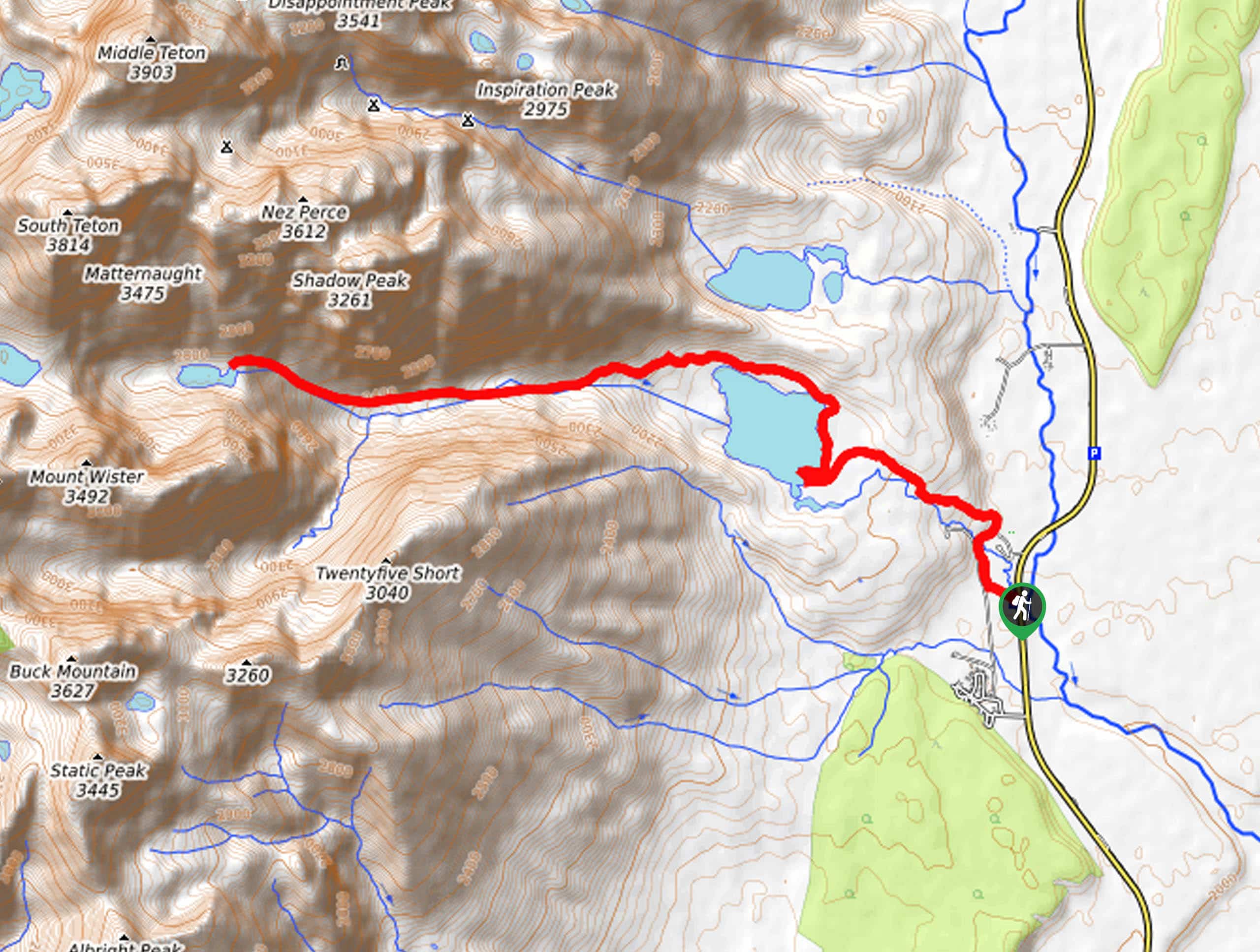
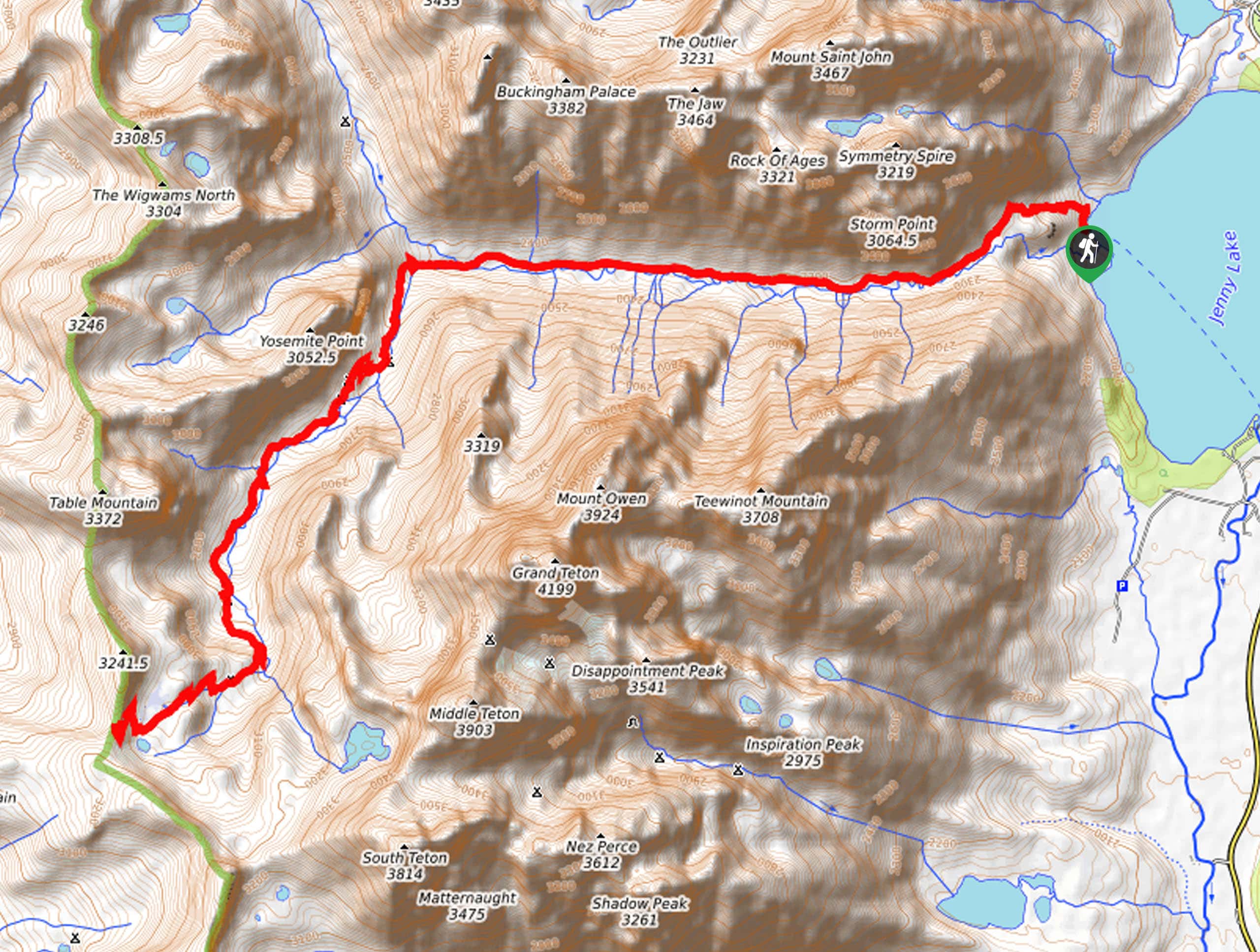
Setting out from the Bradley-Taggart Trailhead, follow the Taggart Lake Loop Trail heading northwestwardly. Follow this route up to the shoreline of the beautiful glacial pool, then merge right onto the Valley Trail. The Valley Trail will lead you to the north shore of the lake, where you will divert off the marked paths into Avalanche Canyon. Using the trail GPS and the hints of a worn path, you will climb along Taggart Creek through the canyon. Admire the scenery, and you will eventually be redirected along the North Fork of Taggart Creek.
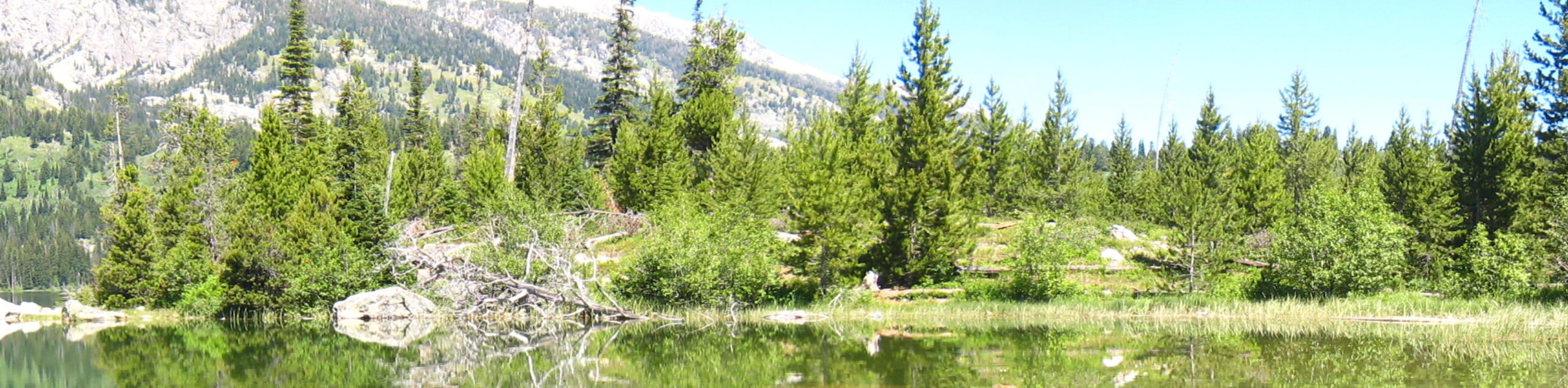
This section of the hike requires some careful footing as you ascend the loose screen up the vertiginous path. Passing the Shoshoko Falls, you will soon reach Lake Taminah. Relish in the tranquility and revel in the panoramic views of the Tetons that surround you. When you are through appreciating the marvelous alpine scenery and crystal clear lake, head back down the path the way you came.
Similar hikes to the Lake Taminah Hike hike
Sheffield Creek Trail
Located on the border of the Yellowstone and the Grand Tetons National Parks, the Sheffield Creek Trail has remained relatively…
Delta Lake via Taggart Lake Hike
Rise and shine, it's time to climb! The Delta Lake via Taggart Lake Hike is a marvelous adventure into the…
South Fork Cascade Canyon to Hurricane Pass Hike
Explore the alpine oasis and enjoy unrivaled views of the Teton Mountains as you trek the South Fork Cascade Canyon…
Comments