
Marion Lake Trail
View PhotosMarion Lake Trail
Difficulty Rating:
Those seeking a challenging but rewarding hike in the Grand Tetons will enjoy the Marion Lake Trail. Relatively unknown compared to other high-country adventures, this scenic route requires a scenic ride on the Jackson Hole Mountain Resort’s Aerial Tram up to the trailhead—how fun!
Getting there
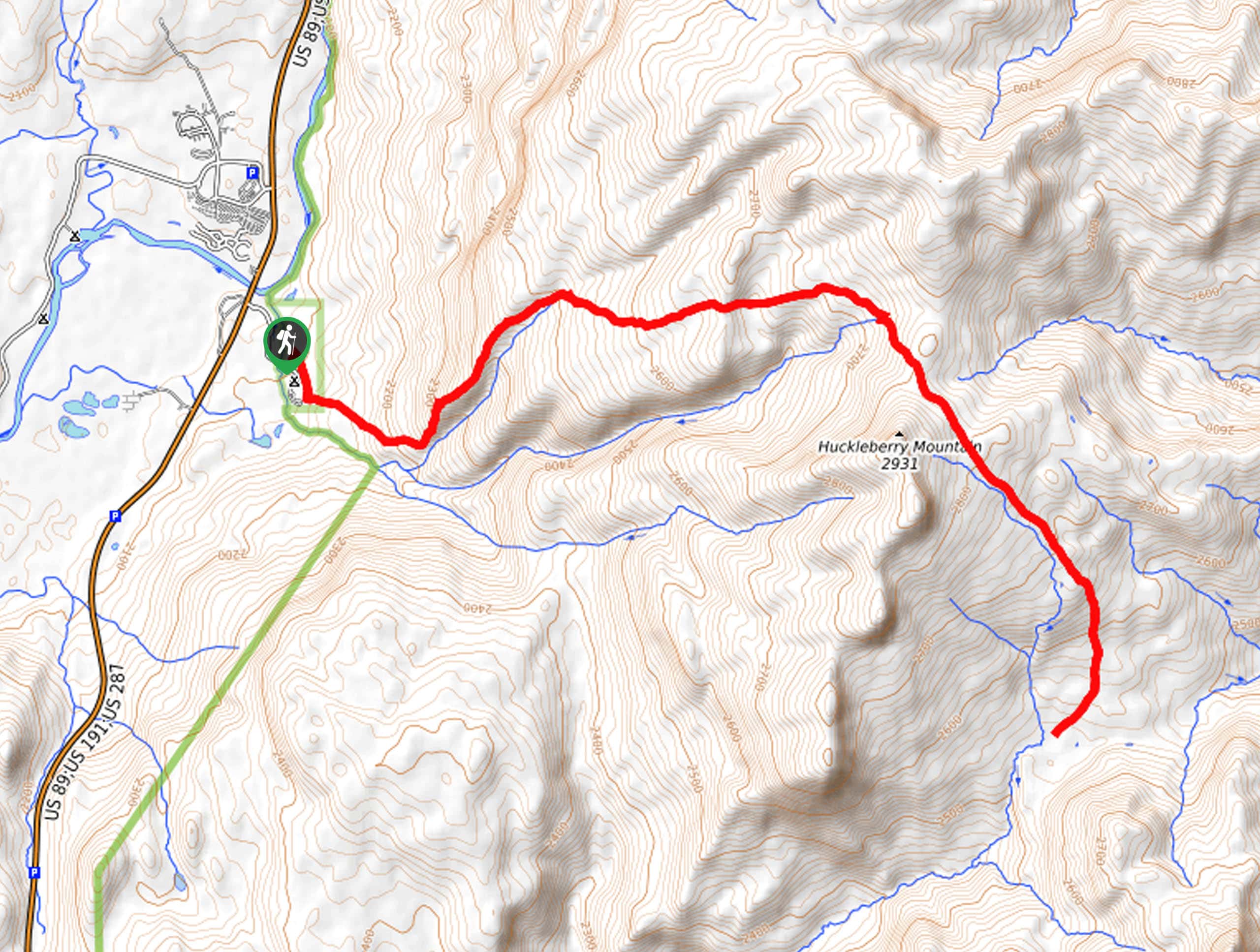
Access this hike via the Jackson Hole Mountain Resort’s Aerial Tram which is located off the Teton Village Road.

About
| Backcountry Campground | Backcountry Camping, wilderness permit required. |
| When to do | May-September |
| Pets allowed | No |
| Family friendly | No |
| Route Signage | Average |
| Crowd Levels | Moderate |
| Route Type | Lollipop |
Marion Lake Trail
Elevation Graph
Weather
Marion Lake Trail Description
Beckoning the exploration of intrepid spirits and experienced hikers, Marion Lake Trail is unlike no other. Indulge yourself with breathtaking views of the Teton Mountain Range and the Jackson Hole before even commencing the hike! As with all adventures in the area, make sure you or someone you are trekking with has a can of bear spray! Additionally, it is important to bear in mind the tram schedule so as to not have to trek down the mountain after it closes. Note the tramway required a purchased ticket in addition to the National Park’s entrance fee. Refer to the Jackson Hole Mountain Resort website for prices and reservations.
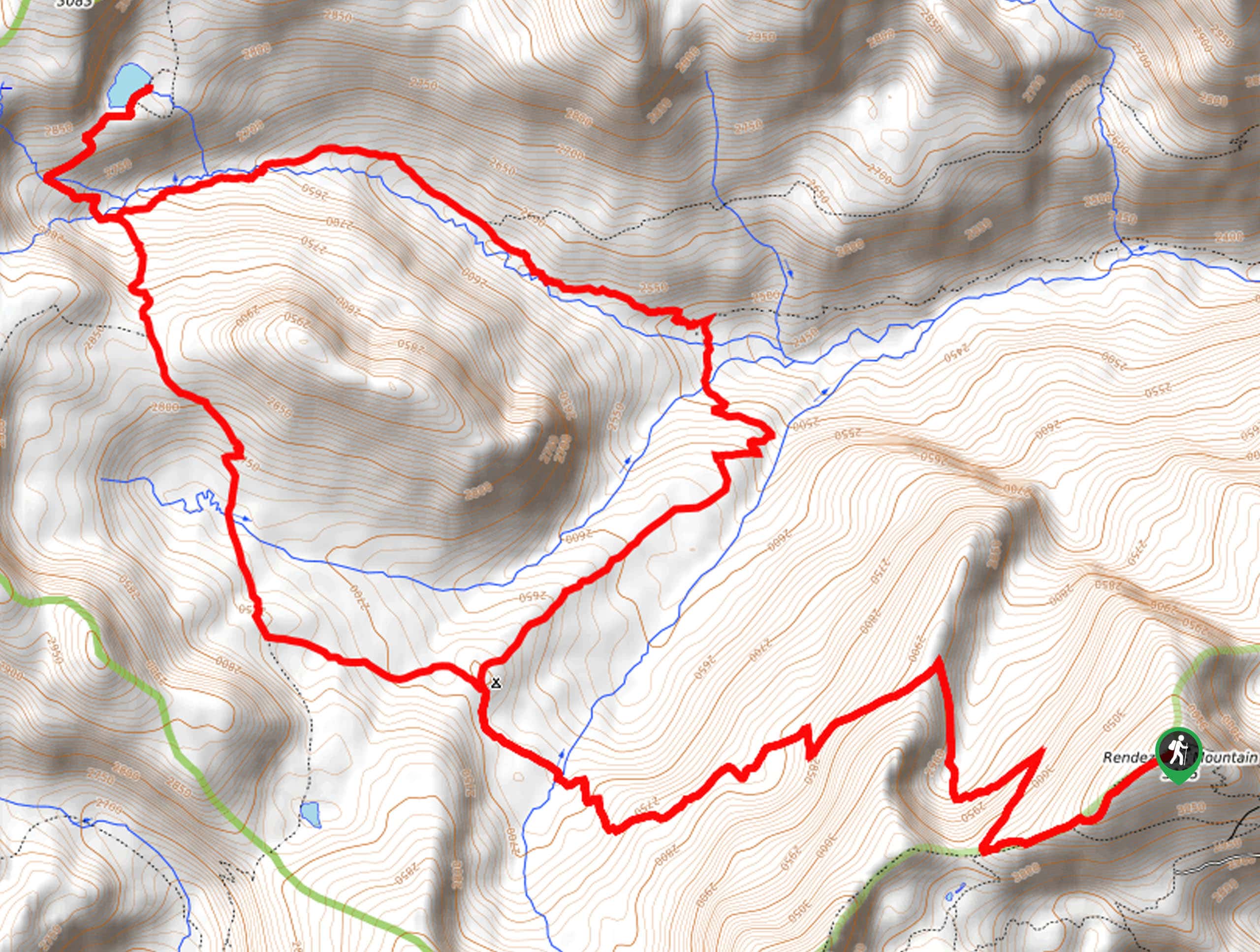
Your journey begins after a scenic ride up the tramway to the Top of the World Trailhead. Travel this southwest briefly before merging right onto the Rendezvous Mountain Trail. This path will begin a gradual descent via switchbacks into the mountain cirque behind the Rendezvous Mountain. Soon you will reach an intersection at the backcountry campsites; veer left here onto the South Fork Cut Off Granite Canyon Trail. Follow this route into Granite Canyon, where you will confront a junction. Here, take a detour along the Fox Creek Pass Trail up to Marion Lake.
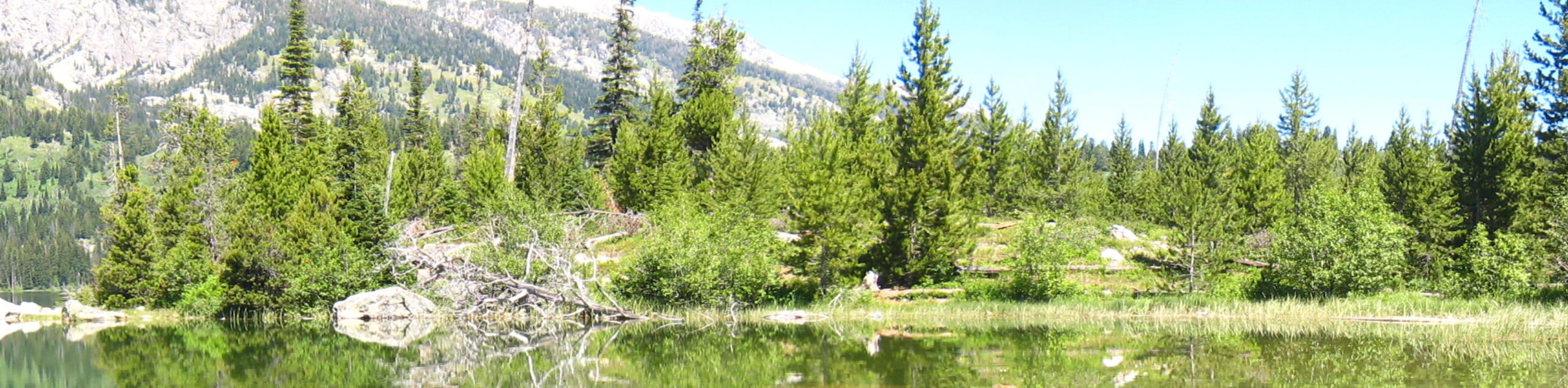
Admire the beauty of the alpine lake and the bounding bluffs of the Tetons. Appreciate the grandeur and diversity of the encompassing landscape, then head back down into the canyon, this time taking the Granite Canyon Trail east down to the Patrol Cabin. From here, take the South Fork Granite Canyon Trail back up to the backcountry campsites. To get back to the tram from here, simply retrace your footing along the Rendezvous Mountain Trail.
Similar hikes to the Marion Lake Trail hike
Sheffield Creek Trail
Located on the border of the Yellowstone and the Grand Tetons National Parks, the Sheffield Creek Trail has remained relatively…
Delta Lake via Taggart Lake Hike
Rise and shine, it's time to climb! The Delta Lake via Taggart Lake Hike is a marvelous adventure into the…
South Fork Cascade Canyon to Hurricane Pass Hike
Explore the alpine oasis and enjoy unrivaled views of the Teton Mountains as you trek the South Fork Cascade Canyon…
Comments