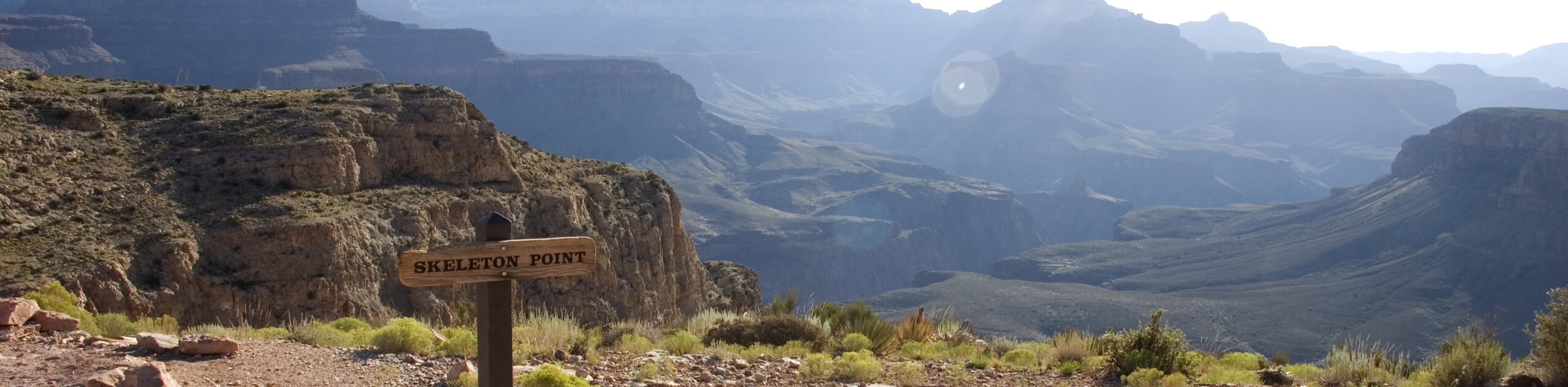
Skeleton Point via South Kaibab Trail
View Photos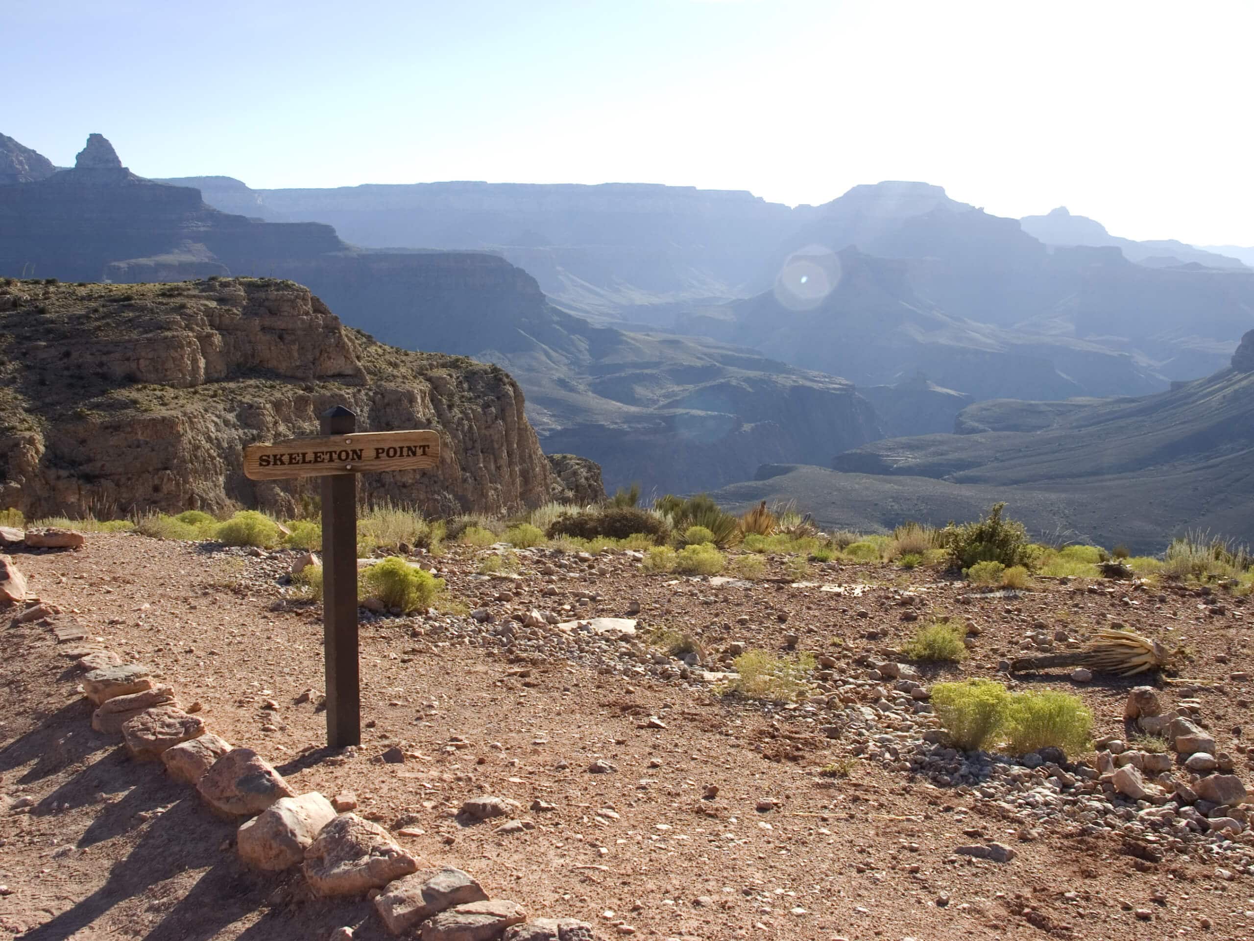
Skeleton Point via South Kaibab Trail
Difficulty Rating:
The hike to Skeleton Point via South Kaibab Trail is one of the best ways to enjoy the mighty Grand Canyon from the South Rim. South Kaibab Trail is the second-most visited trail in the canyon after Bright Angel Trail and there are a variety of viewpoints and turnaround points along the way. Skeleton Point is the furthest you can go before the terrain becomes more extreme, so it’s the best view the average hiker can earn on South Kaibab. The views you’ll get from the lookout are ones you won’t soon forget, so make sure you’ve got a camera with you to capture the moment.
This hike is at the South Rim of the Grand Canyon, which is the area most tourists visit during their time at the canyon. It’s located near Yaki Point, and while you won’t be able to park right at the trailhead, you can take one of the shuttles there for easy access.
Getting there
The trailhead for the Skeleton Point via South Kaibab Trail is on Yaki Point Road.

About
| Backcountry Campground | No |
| When to do | September-May |
| Pets allowed | No |
| Family friendly | No |
| Route Signage | Average |
| Crowd Levels | High |
| Route Type | Out and back |
Skeleton Point via South Kaibab Trail
Elevation Graph
Weather
Skeleton Point via South Kaibab Trail Description
The South Kaibab Trail is the second-most visited trail in the entire Grand Canyon. With several viewpoints accessible without any extreme hiking, it’s a great trail to wander down to take in the grandeur of the Grand Canyon.
Skeleton Point is the furthest you can go on the South Kaibab Trail without navigating extreme terrain, so it’s really the best view the average hiker can enjoy before things start to get steep. It’s still rated as hard, but when you peer over the edge at the switchbacks below, you’ll see what “steep” really looks like in the Grand Canyon! That being said, this route is 4ft wide and the gradient averages at 10%, so it’s not exposed or technical.
Skeleton Point shows off the Grand Canyon from the South Rim, which is where most visitors to the canyon go. There may be mules on this trail packing out trash from Phantom Ranch. Should you come up to mules, listen to the handler’s directions on how to pass them. If you come up from behind, just announce yourself and listen for instructions on how to pass once it’s safe to do so.
The trailhead isn’t accessible by private vehicle, so you’ll need to take the orange shuttle or the hiker’s express shuttle. There’s a lot just east of Yaki Point Road that you can use to access the trailhead as well.
From the trailhead, you’ll hike out along the ridge. About a half-mile into the outbound trip, you’ll pass Yaki Point on your right, a popular viewpoint. At the point, look out over the amazing view to the east. Ahead of you is Cedar Ridge, a popular turnaround point for casual hikers.
Ahead of Cedar Ridge is O’Neill Butte, from which there’s plenty of canyon to appreciate in almost all directions. Hiking around the east side of the butte, you’ll continue the last few steps to Skeleton Point. Look out at Buddha Temple, Isis Temple, The Colonnade, and Brahma Temple across the Colorado River.
Once you’re ready to head back, you’ll simply retrace your steps back to the trailhead and either walk back to where you parked or take the shuttle back.
Once you’re done, consider a stop into the Yavapai Museum of Geology on the South Rim to learn more about the fascinating geological history of the canyon.
Hiking Route Highlights
Grand Canyon
Revealing millions of years of geological history, the layered and massive Grand Canyon is a 3060 square mile canyon in Arizona. The canyon is 277.0mi long, up to 18.0mi wide and is over 6000ft at its deepest point. Carved by the Colorado River over millions of years, the canyon is now one of the world’s top natural attractions, bringing about 5 million visitors to its rim every year. Indigenous people have inhabited the canyon for many years, some considering it to be a holy site.
Frequently Asked Questions
Where do you park for the South Kaibab Trail?
The best way to access the trailhead is to park in the visitor parking at the South Rim and take the orange shuttle to the trailhead, which is not accessible by private vehicle.
How scary is the South Kaibab Trail?
While further sections of the trail might be intimidating to hikers who have a fear of heights, the hike to Skeleton Point is manageable for most.
How far is Skeleton Point?
It’s just under 3.0mi to Skeleton Point.
Insider Hints
You’ll need a pass to visit the Grand Canyon. Passes can be purchased ahead of time online or at the park gates.
It can take a long time to get through the park gates during normal visiting hours, so we recommend planning to arrive a bit early.
The shuttles are free to use and run on a frequent, consistent schedule.
Similar hikes to the Skeleton Point via South Kaibab Trail hike
Deer Creek to Colorado River Hike
The Deer Creek to Colorado River hike is a very challenging 18.0mi hike that leads you from the…
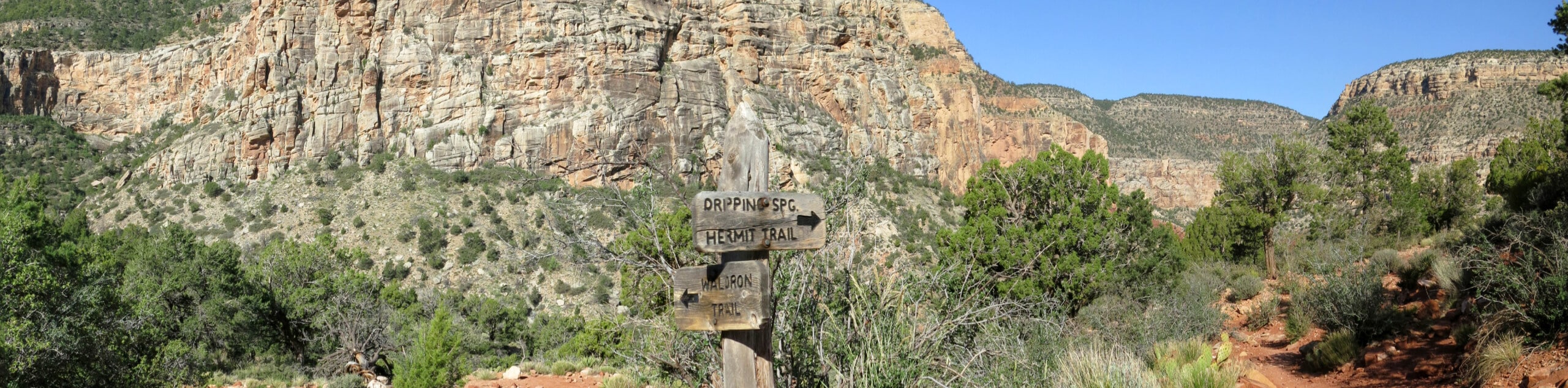
Waldron Trail
Waldron Trail is a hiking trail on the South Rim of the Grand Canyon that’s a bit of a hidden…
Powell Plateau Trail
Powell Plateau Trail is a hiking trail in the northwestern arm of the Grand Canyon. This spot in the canyon…
Comments