Deer Creek to Colorado River Hike
View Photos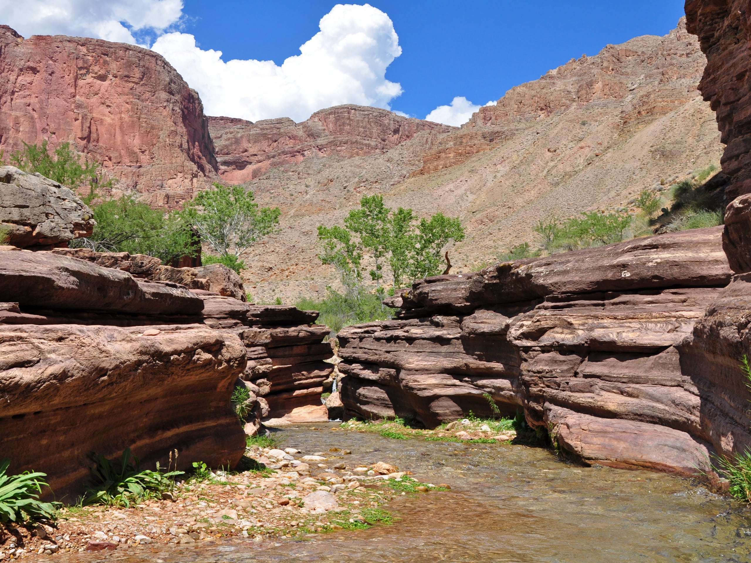
Deer Creek to Colorado River Hike
Difficulty Rating:
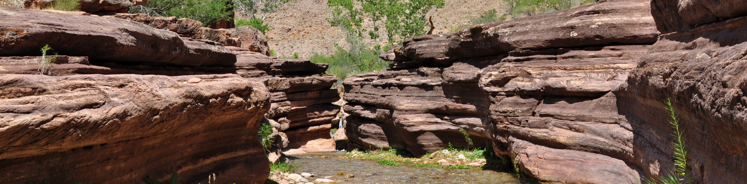
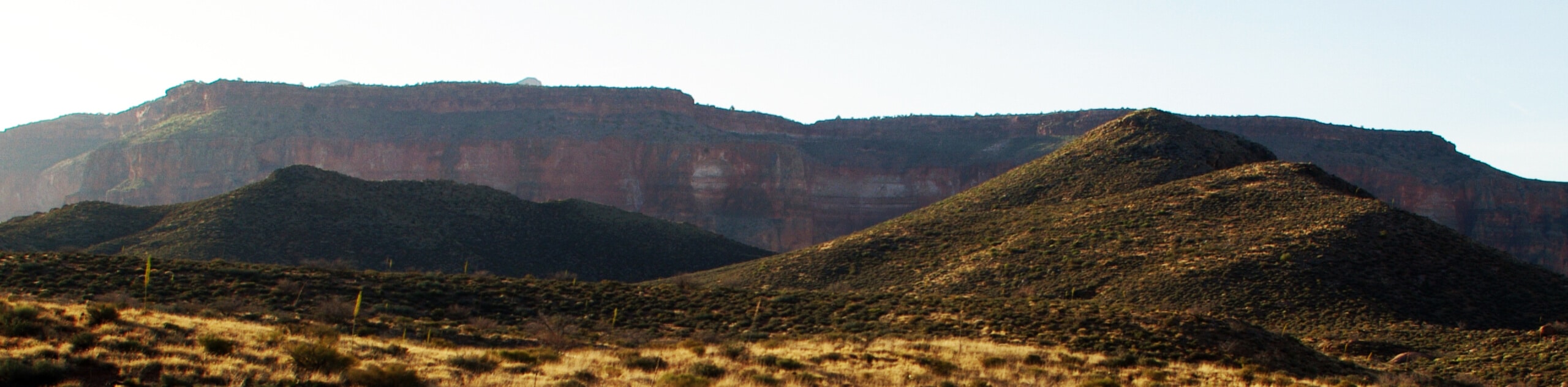
The Deer Creek to Colorado River hike is a very challenging 18.0mi hike that leads you from the western side of the North Rim of the Grand Canyon down through a canyon to the Colorado River. This hike is recommended over two days with a stop at Deer Creek Camp due to its strenuous nature. The slot canyon at the end of the hike is a highlight! Expect light traffic.
Getting there
The trailhead for the hike along Deer Creek to the Colorado River is on NF 8031.

About
| Backcountry Campground | Deer Creek |
| When to do | April-November |
| Pets allowed | No |
| Family friendly | No |
| Route Signage | Poor |
| Crowd Levels | Low |
| Route Type | Out and back |
Deer Creek to Colorado River Hike
Elevation Graph
Weather
Deer Creek to Colorado River Hike Description
The hike along Deer Creek to the Colorado River is a big challenge, but it’s perfect for the adventurous hikers out there. This route descends a canyon towards the river in the northwestern arm of the Grand Canyon. It’s remote, questionably maintained, a bit technical, and one of a kind. You’ll likely want to split this up over two days with a stay at Deer Creek Camp.
Come prepared for this challenging hike with lots and lots of water, a water filter, sun protection (it can get very hot on this route in the summer), layers of clothing for colder temperatures, and food. Some sections require hands-on climbing, so gloves may be helpful to have. Additionally, the road to the trailhead can be in poor shape. A high-clearance vehicle is recommended.
From the trailhead, hike west along the rim of the canyon on Bill Hall Trail. You’ll keep left to dip down over the rim, then traverse along the canyon wall until the trail makes a steep downhill turn. Expect rocky footing. You’ll traverse across a plateau for a long stretch before then tackling the very steep descent into the inner canyon. Pass Cogswell Butte and then make the final trip down along Deer Creek through the slot canyon past the campsite and to the river. The return trip follows the same route.
Similar hikes to the Deer Creek to Colorado River Hike hike
Waldron Trail
Waldron Trail is a hiking trail on the South Rim of the Grand Canyon that’s a bit of a hidden…
Indian Garden Campground via Bright Angel Trail
Of all places to camp, the Grand Canyon is a pretty hard one to beat, to say the absolute least.…
Surprise Valley Camp to Deer Creek Falls
This route details Surprise Valley Camp to Deer Creek Falls, a hike in the remote northwestern arm of the Grand…
Comments