Waldron Trail
View Photos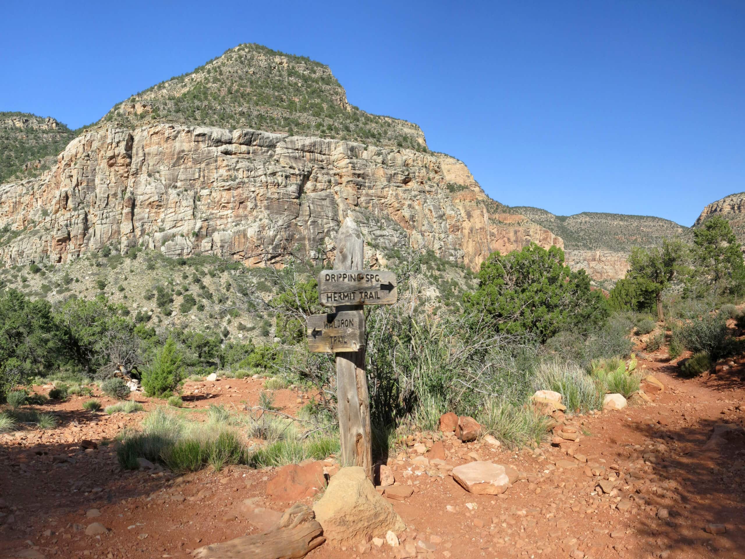
Waldron Trail
Difficulty Rating:
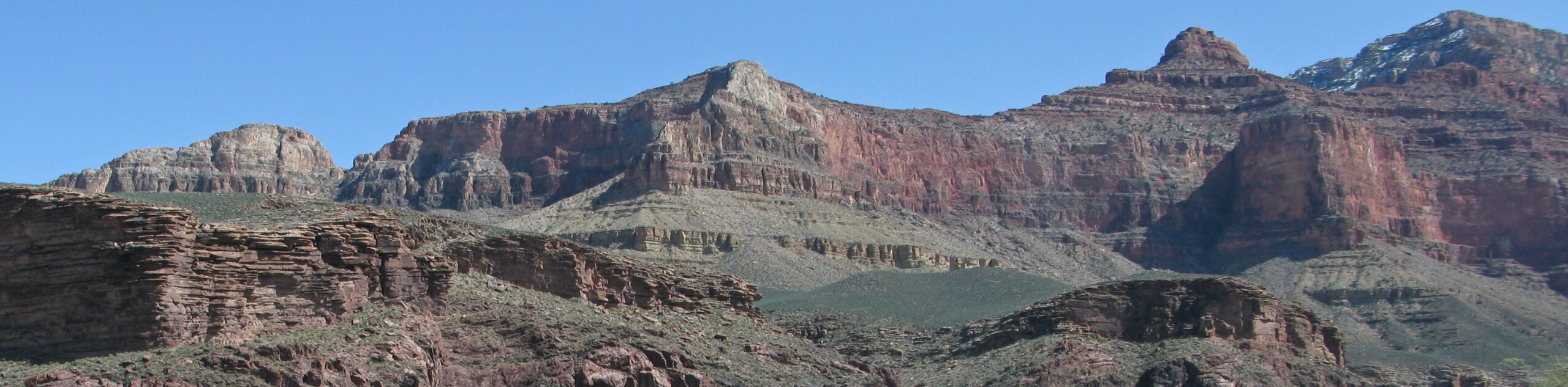
Waldron Trail is a hiking trail on the South Rim of the Grand Canyon that’s a bit of a hidden gem. Leaving the crowds and traveling along a route that sees far less traffic than most other nearby trails, you’ll still experience the stellar views the Grand Canyon is so famous for. This hike is likely to be rated as moderate for strong hikers and hard for less experienced hikers, so prepare accordingly. Expect light traffic on this route.
Getting there
The trailhead for the Waldron Trail is at the end of Hermit Road.

About
| Backcountry Campground | No |
| When to do | April-November |
| Pets allowed | No |
| Family friendly | No |
| Route Signage | Average |
| Crowd Levels | Low |
| Route Type | Out and back |
Waldron Trail
Elevation Graph
Weather
Waldron Trail Description
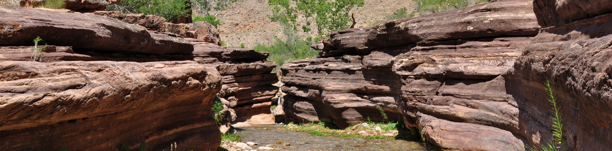
The Waldron Trail is a quiet, less-traveled trail on the South Rim of the Grand Canyon. Despite leaving from one of the park’s popular viewpoints, Hermit’s Rest, this hike is far less busy than others nearby. The views are still stunning, though! More casual hikers will find this route to be tough, but more experienced hikers often report finding it to be moderate.
This route can get rocky and a bit harder to follow in spots because of the relative lack of traffic. Use good boots, bring poles, and consider offline navigation if it’s your first time visiting. As always in the Grand Canyon, bring lots of water, sun protection, and layers for the variable weather conditions.
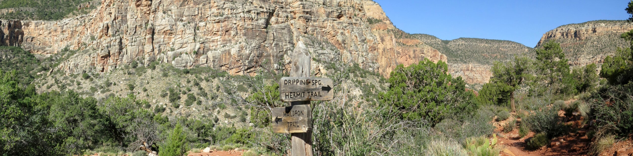
From Hermit’s Rest, hike down the canyon wall to where the trail splits. Most hikers will be going right, but you’ll go left. A brief flat section of the trail allows you to catch your breath, but it’s right back to the grind as you climb steep switchbacks up the other side of the canyon. At the top of the rim, look back to soak in the views before retracing your steps.
Insider Hints
You can take the shuttle to Hermit’s Rest from the Grand Canyon Village to make getting to the trailhead less of a hassle.
Similar hikes to the Waldron Trail hike
Deer Creek to Colorado River Hike
The Deer Creek to Colorado River hike is a very challenging 18.0mi hike that leads you from the…
Powell Plateau Trail
Powell Plateau Trail is a hiking trail in the northwestern arm of the Grand Canyon. This spot in the canyon…
Indian Garden Campground via Bright Angel Trail
Of all places to camp, the Grand Canyon is a pretty hard one to beat, to say the absolute least.…
Comments