Swiftcurrent Creek and the Lakes hike
View Photos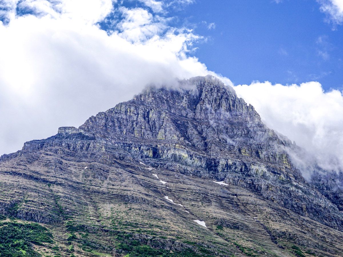
Swiftcurrent Creek and the Lakes hike
Difficulty Rating:
The Swiftcurrent Creek hike is a wonderful day out in the Many Glacier area with great views, alpine flowers and the opportunity to see some game. Turn back anywhere along the trail, however we prefer getting to the end of the valley, just below the switchbacks up to the Pass.
Getting there
Head into Many Glacier Area on the pock-marked road, remaining watchful for animals – bears are likely here in early summer. Park anywhere near the Swiftcurrent Motor Inn.

About
| When to do | June through October |
| Backcountry Campsites | No |
| Toilets | Trailhead |
| Family friendly | Yes |
| Route Signage | Average |
| Crowd Levels | Moderate |
| Route Type | Out and back |
Swiftcurrent Creek and the Lakes
Elevation Graph
Weather
Route Description for Swiftcurrent Creek and the Lakes
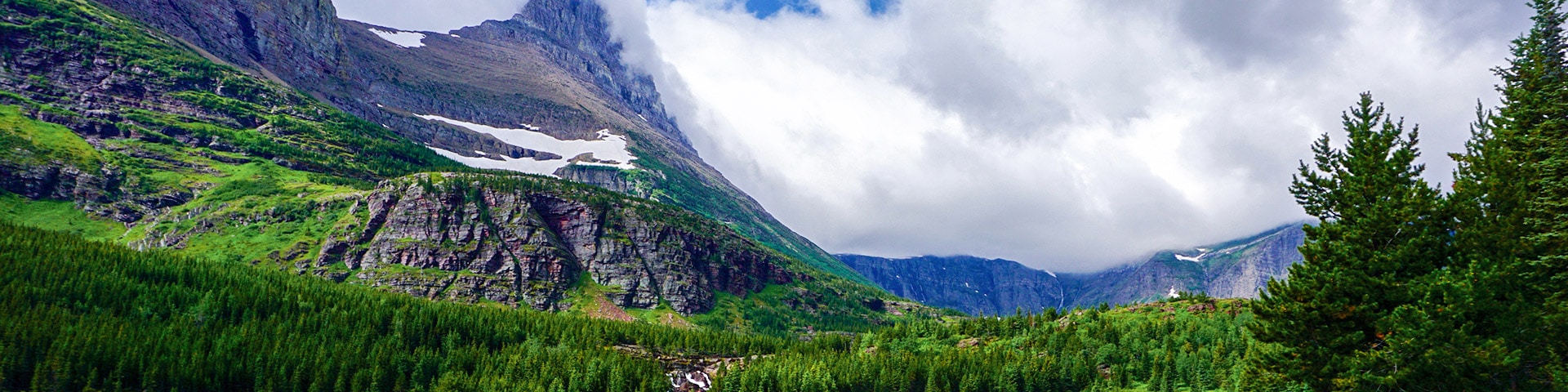
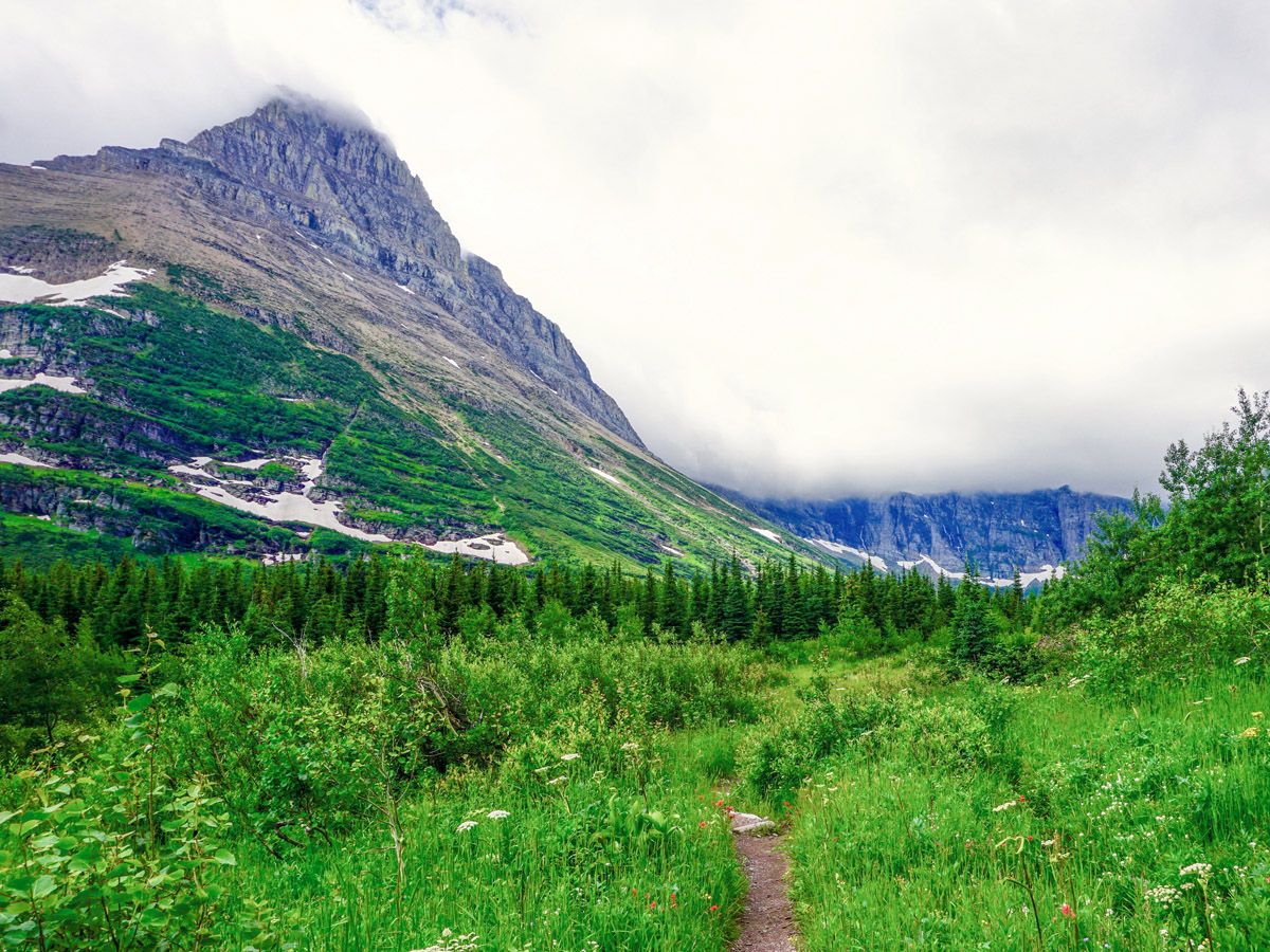
Yet another wonderful hike in the Many Glacier area. This takes you out along a pleasant river, past several scenic lakes that often have game, and then to the base of a grueling pass.
Head to the far (western) end of the parking lot in front of Swiftcurrent Motor Lodge. If you’ve been camping in the Many Glacier campground, you are lucky, so reward yourself with coffee from the Gift Shop beside the Motel office first.
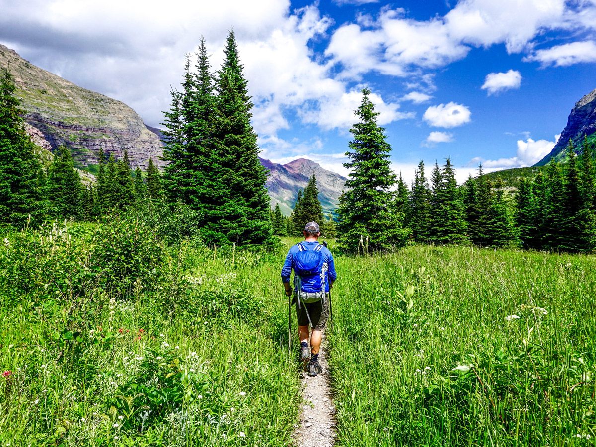
Follow a well-defined path, and almost immediately you will cross a bridge over Wilbur Creek. There is a path down through the forest on your right to Fishercap Lake, however we prefer to continue straight ahead. Follow the (sometimes) redrock path, and after 1.6mi you will come to the lovely Redrock Lake, flanked by Grinnell Mountain with Grinnell Point towering over it. The lake is fed at the far end by Swiftcurrent Creek and it’s easy to see where it gets the name – from the lovely rock that takes on a magical hue early and late in the day.
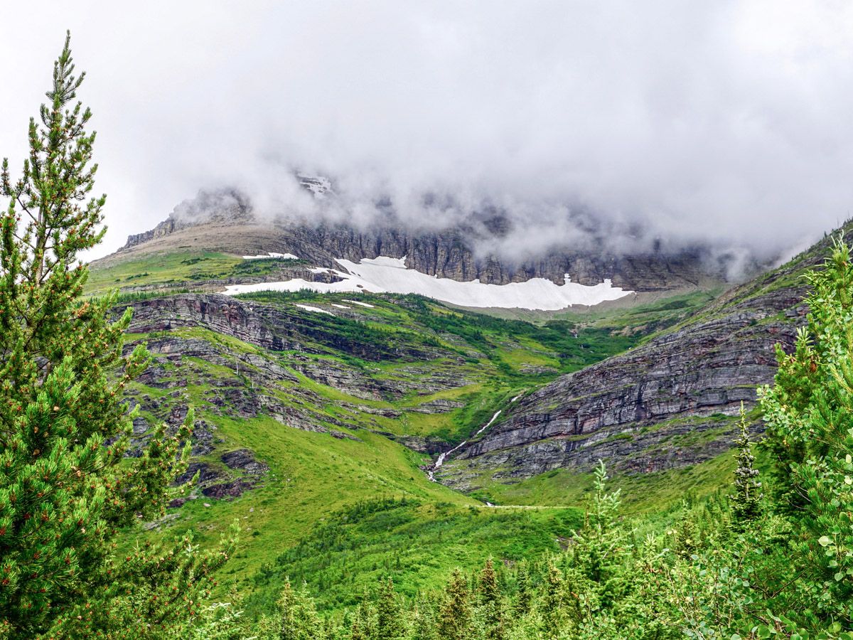
A bit farther on, at roughly 1.9mi from the start, you will come to Redrock Falls. While not the massive falls seen elsewhere in the park, these are beautiful and a good place for a break.
From here, you have 1.6mi through a mix of forest and shrubs up to and beside Bullhead Lake. There are views in all directions at times, with Mount Wilbur on your right, Mount Swiftcurrent dead ahead and Mount Grinnell on your left.
You will pass a suspension bridge, which is really bouncy just before reaching the viewpoint for Bullhead Lake (3.4mi from start). This area has some large rocks, and is the perfect place to take a rest. Look carefully across the lake here, as moose often spend a quiet morning on the far shores. You may even see a bull moose if you’re lucky.
Continue ahead along the path. Cross and re-cross a few streams on rocks before arriving at the base of the switchbacks, which is roughly 4.0mi from the start. From here you can take a break, examining the wonderful mountains, lakes and streams around you.
Return the way you came and head into the store at Swiftcurrent Motor Inn for a snack!
Find more epic hikes in Glacier National Park
Insider Hints
Watch for game early and late in the day across the lakes you pass by.
Stay in Many Glacier if you can, we really like Swiftcurrent Motor Inn.

Similar hikes to the Swiftcurrent Creek and the Lakes hike

Fish Lake Trail
Fish Lake Trail is a mix between relaxing and heart pumping. The start of the trail takes you through a…

Quartz Creek Trail
Quartz Creek Trail is a relaxing hike on a remote trail in Glacier National Park. The hike takes you through…

Snyder Ridge Trail
Hiking through Snyder Ridge Trail takes you through a forest for most of the trail that follows the ridge along…
maxjohanson 4 years ago
It is a magnificent hike! So many wildflowers, cold streams and beauty to take in.
Miranda Q. 4 years ago
I passed through Swiftcurrent Pass and boy it was terrific!
Suzy TQ 4 years ago
This is a wonderful place for wildlife viewing.
Jellybean 4 years ago
One of the most beautiful areas of Glacier National Park is the Many Glacier area. This lake has the most beautiful reflection of the mountains with it's crystal clear waters.
footfall 4 years ago
Great views across the lake to the surrounding mountains.
MissGiggles 4 years ago
A gentle loop around Swift current Lake with wonderful views and a chance to see many animals. Really great place to define beauty in nature.
Darren K. 4 years ago
It's a pretty exhausting hike. We need to stop several times to recharge our energy. Overall it was a nice hike. Views were really incredible.
Eli-Tim 4 years ago
I would rate it excellent if there were more parking places and the restroom at least had clear water.
dylanm 4 years ago
The great thing about hikes with higher elevation is that there are lesser people.
Aska Tanaka 5 years ago
Gorgeous Falls! Redrock falls was the highlight of the trip!