

Fish Lake Trail
View Photos
Fish Lake Trail
Difficulty Rating:
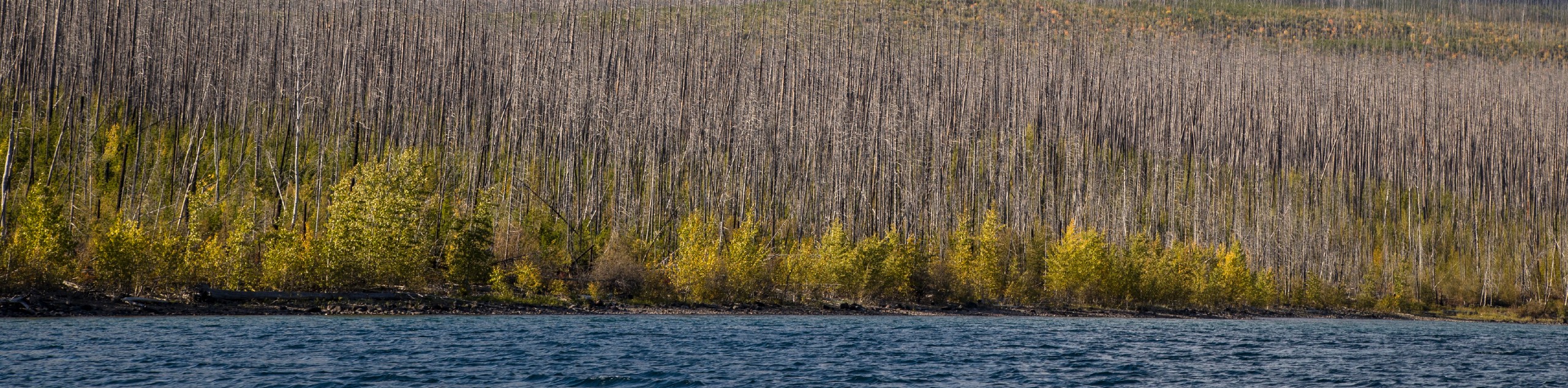
Fish Lake Trail is a mix between relaxing and heart pumping. The start of the trail takes you through a dense forest as you begin to ascend along Gunsight Pass Trail. After a workout, you are rewarded with the serene setting of lily-pad-covered Fish Lake.
Getting there
To get to Fish Lake Trail from West Glacier, head northwest on Glacier Route 1 Road/Going-to-the-Sun Road toward US-2 West. After 2.0mi, turn left onto Camas Road and then turn right onto Apgar Loop/Lake View Drive. Turn left back onto Glacier Route 1 Road/Going-to-the-Sun Road and after 8.0mi, turn left. After 0.2mi, your destination will be on the right.

About
| When to do | March - October |
| Backcountry Campsites | No |
| Pets allowed | No |
| Family friendly | No |
| Route Signage | Average |
| Crowd Levels | Moderate |
| Route Type | Out and back |
Fish Lake Trail
Elevation Graph
Weather
Fish Lake Trail Description
Fish Lake Trail is a great hike for people looking to get a workout in and enjoy a relaxing hike. The trail begins at the Sperry Trailhead across the road from the Lake McDonald Lodge. You will begin to ascend on this trail as Gunsight Pass Trail takes over and has you climb through forested areas until you reach Mt. Brown Trail junction at 1.6mi in. As you continue, you will come across the Snyder Lake Trail, and you will go straight and cross over Snyder Creek. Follow the Snyder Trail down to Fish Lake. This is a great spot to enjoy lunch, but be mindful that the mosquitos can be a nuisance in spring/early summer. When you are finished taking in the views, head back the way you came as this is an out-and-back trail.
Find more epic hikes in Glacier National Park
Similar hikes to the Fish Lake Trail hike

Quartz Creek Trail
Quartz Creek Trail is a relaxing hike on a remote trail in Glacier National Park. The hike takes you through…

Snyder Ridge Trail
Hiking through Snyder Ridge Trail takes you through a forest for most of the trail that follows the ridge along…
Howe Ridge Trail
Howe Ridge Trail is a hike through a forested area that was burned by a previous fire and is experiencing…
Comments