

Quartz Creek Trail
View PhotosQuartz Creek Trail
Difficulty Rating:
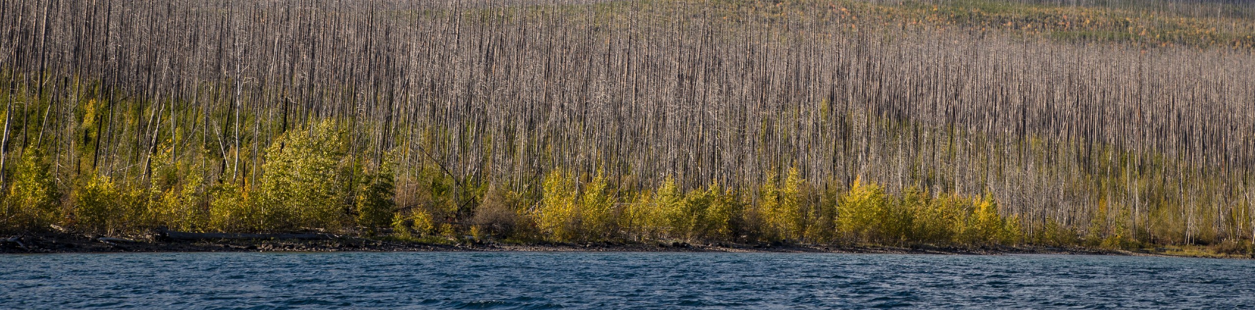
Quartz Creek Trail is a relaxing hike on a remote trail in Glacier National Park. The hike takes you through mostly forested areas and opens up to occasional meadows filled with wildflowers in the summer months. In the spring, Quartz Creek can be dangerous with high, heavy water flow, so be mindful of this if you are hiking during these months as you have to cross the creek towards the end of the trail.
Getting there
To get to Quartz Creek Trailhead from Polebridge, head East on Polebridge Loop toward Polebridge Lane and in 0.7mi, continue onto Glacier Drive. After 0.7mi, turn left to continue on Glacier Drive and then turn right onto Inside North Fork Road. After traveling for 5.5mi, take your first left, and then the second left and you will arrive at your destination.

About
| When to do | June - October |
| Backcountry Campsites | Lower Quartz Lake Campground |
| Pets allowed | No |
| Family friendly | No |
| Route Signage | Average |
| Crowd Levels | Low |
| Route Type | Out and back |
Quartz Creek Trail
Elevation Graph
Weather
Quartz Creek Trail Description
Quartz Creek Trail is a tranquil hike through mostly forested areas with occasional meadows popping up. This trail can be done as an out and back or as a one-way, and would end at Lower Quartz Lake Campground area. If you choose the one-way journey, be aware that you have to cross Quartz Creek by foot as there is no bridge, and the water levels can be dangerous in the spring and early summer months.
The trail begins off of Inside North Fork Road and opens up into a meadow. Continuing on, you will come across a home that is a homestead property, which is one of the original homes in the park. After this, the trail becomes more forested and dense and can be overgrown in some areas. You will then arrive at Quartz Creek, and you can turn around here and head back or cross the creek with caution, and end at the Lower Quartz Lake Campground as a one-way trail.
Find more epic hikes in Glacier National Park
Similar hikes to the Quartz Creek Trail hike

Fish Lake Trail
Fish Lake Trail is a mix between relaxing and heart pumping. The start of the trail takes you through a…

Snyder Ridge Trail
Hiking through Snyder Ridge Trail takes you through a forest for most of the trail that follows the ridge along…
Howe Ridge Trail
Howe Ridge Trail is a hike through a forested area that was burned by a previous fire and is experiencing…
Comments