

Snyder Ridge Trail
View Photos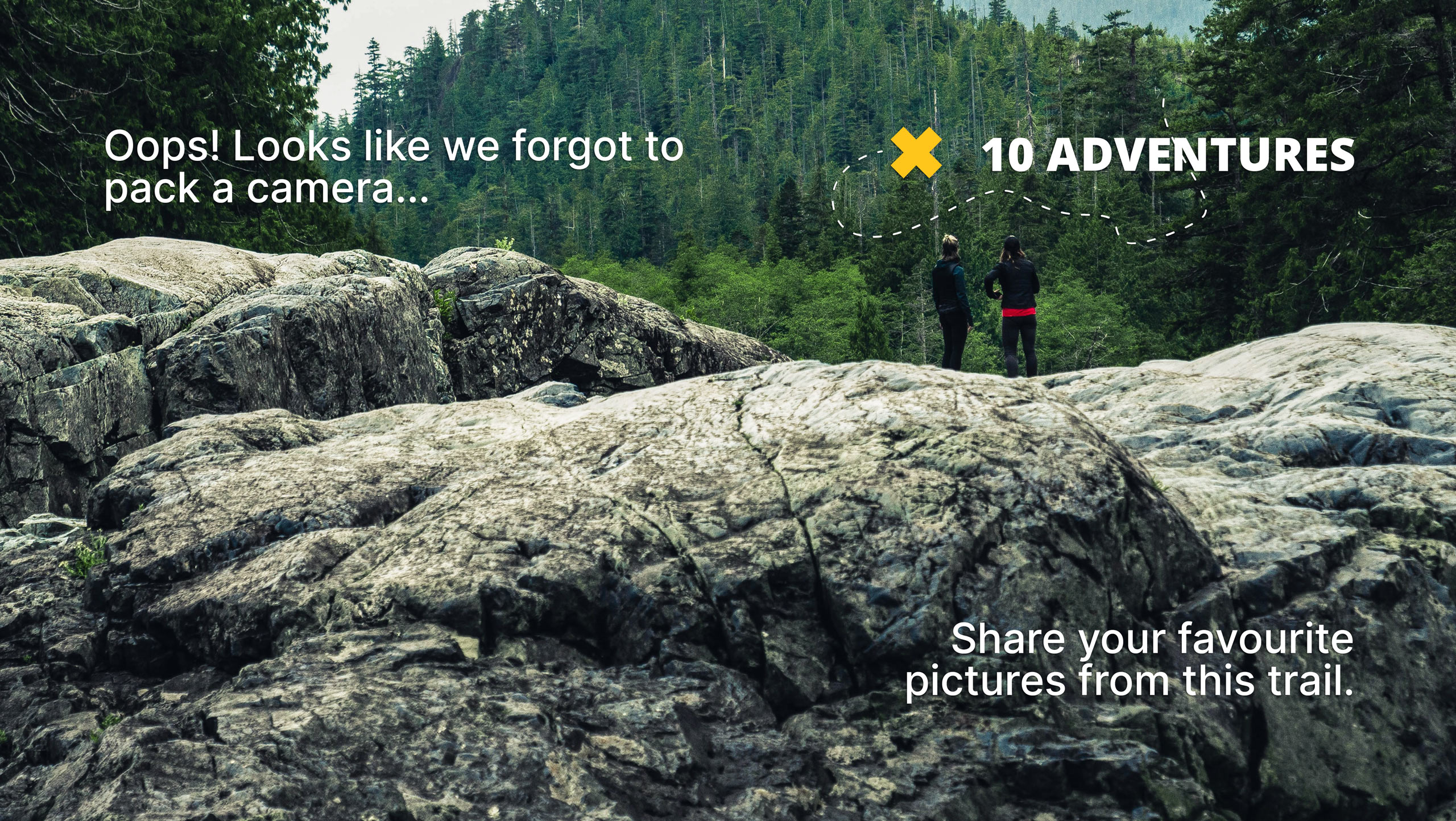
Snyder Ridge Trail
Difficulty Rating:
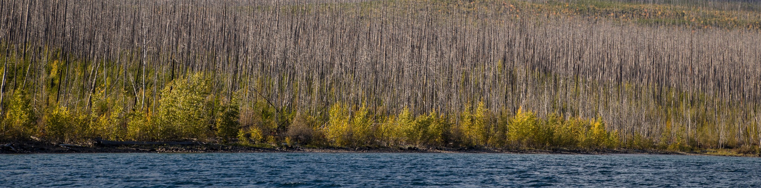
Hiking through Snyder Ridge Trail takes you through a forest for most of the trail that follows the ridge along the way. The views for most of the hike are of the surrounding dense forest until you come closer to the end of the trail. The last few miles will open up to small creeks and beautiful views of Fish Lake.
Getting there
To get to Snyder Ridge Trail from Apgar, head North toward Apgar Loop/Lake View Drive and turn right. After 0.8mi, turn left onto Glacier Route 1 Road/Going-to-the-Sun Road. At 4.4mi, your destination will be on the left.

About
| When to do | April - October |
| Backcountry Campsites | No |
| Pets allowed | No |
| Family friendly | No |
| Route Signage | Average |
| Crowd Levels | Moderate |
| Route Type | Out and back |
Snyder Ridge Trail
Elevation Graph
Weather
Snyder Ridge Trail Description
Snyder Ridge Trail is a low traffic hike through dense forest with ups and downs along the ridge. The views are seldom until you reach the last few miles of the trail. Do note that this is also a one-way trail, so make sure you have another car waiting for you at the end.
Beginning at southern shores of Lake McDonald, follow the trail along the lake through the forest until you reach small creeks flowing through the trail. This will signal that you are almost near the end. You will then come upon the beauty of Fish Lake and once you have enjoyed your time there, continue out of the trail as this is a one-way trail.
Find more epic hikes in Glacier National Park
Similar hikes to the Snyder Ridge Trail hike

Fish Lake Trail
Fish Lake Trail is a mix between relaxing and heart pumping. The start of the trail takes you through a…

Quartz Creek Trail
Quartz Creek Trail is a relaxing hike on a remote trail in Glacier National Park. The hike takes you through…
Howe Ridge Trail
Howe Ridge Trail is a hike through a forested area that was burned by a previous fire and is experiencing…
Comments