Pitamakan Dawson Loop hike
View Photos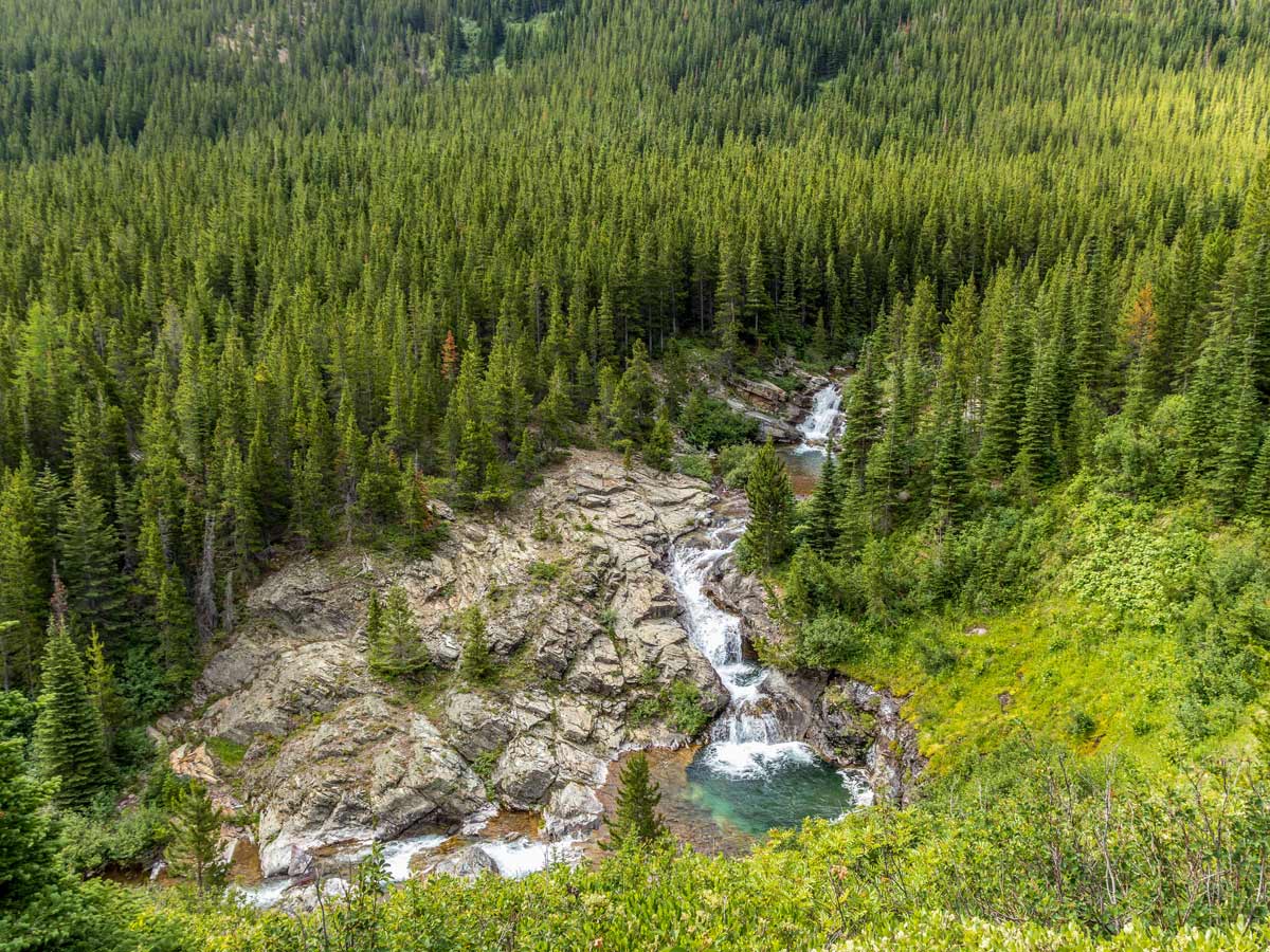
Pitamakan Dawson Loop hike
Difficulty Rating:
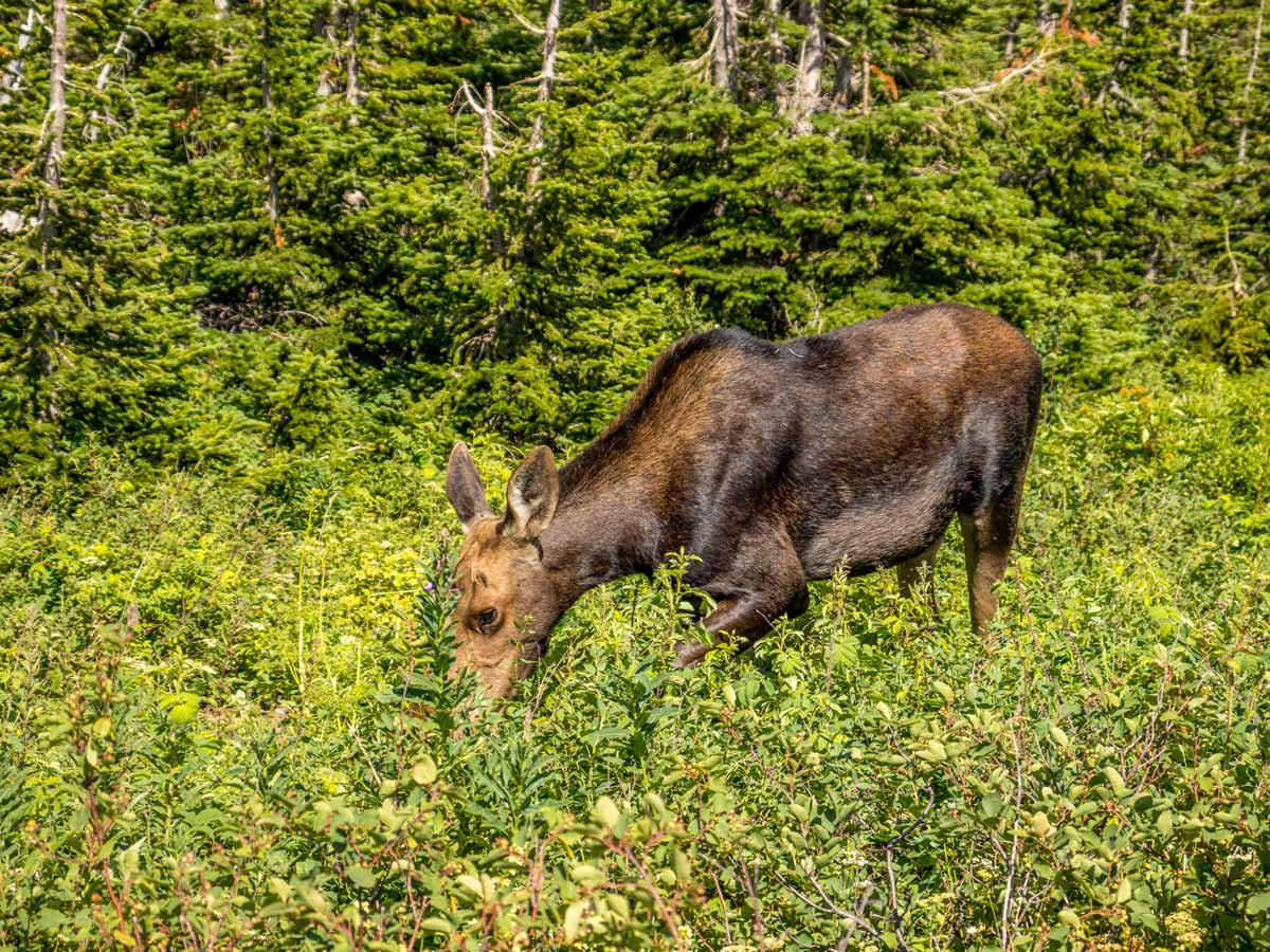
The Pitamakan Dawson Loop is a strenuous and rewarding hike on the east side of Glacier National Park. Setting out from the Two Medicine Campground, the trail takes you through many different environments in Glacier National Park. If you have the experience and fitness level to complete this hike, it is one of the best treks in the park!
Getting there
The trailhead is at the Two Medicine campground, accessed on the east side of Glacier National Park.

About
| When to do | July - October |
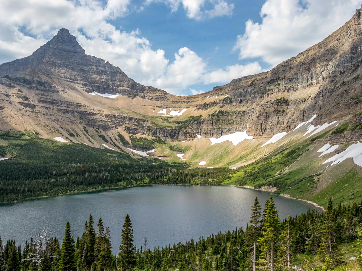
| Backcountry Campsites | No Name Lake or Old Man Lake |
| Pets allowed | No |
| Route Signage | Poor |
| Crowd Levels | Low |
| Route Type | Circuit |
Pitamakan Dawson Loop
Elevation Graph
Weather
Route Description for Pitamakan Dawson Loop
This is a long hike, and at points, it is quite exposed, so be sure to pack the appropriate gear such as a raincoat, hat, and gloves because the weather can change very quickly. You may also consider trying to get a backcountry permit and turning this journey into a two-day trip.
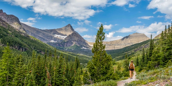
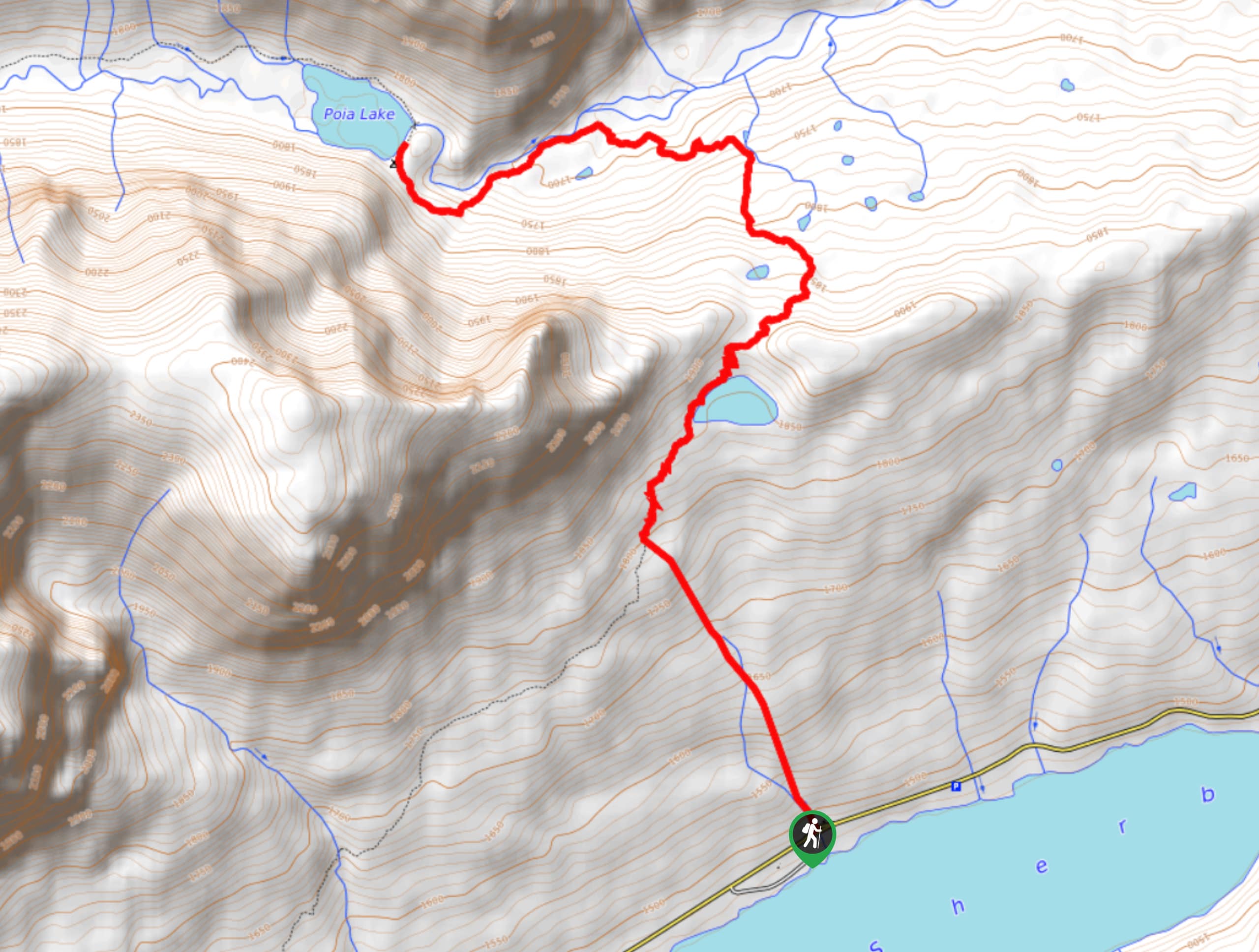
Starting from the Two Medicine campground, head across the bridge by Pray Lake and continue straight until you reach the Pitamakan Dawson Loop trail. You can go either direction for this loop. However, going counter-clockwise (to the right) seems to offer the best views, and you can potentially catch one of the Two Med boat tours back for the last 3.0mi.
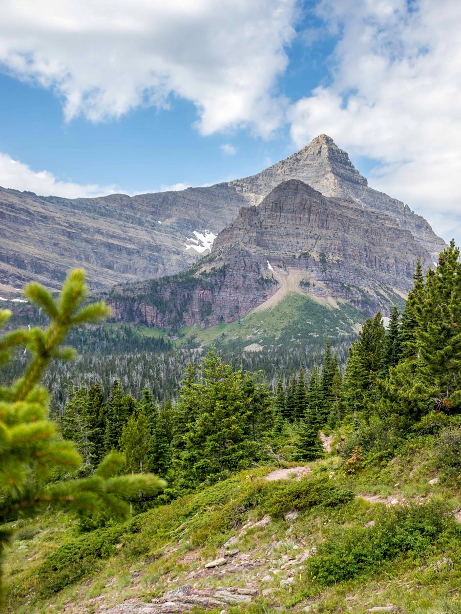
If you start by hiking to the right, you’ll meander in and out of forest and avalanche chutes during the first part of the hike. After 1.5mi, you will pass a waterfall before a short descent. After this brief dip, you’ll begin your climb to Oldman Lake campground. The trail to the campground is a steady climb and somewhat open until 1.0mi from the campsite, where you the forest takes over. The campground trail leads to the lake, which is an excellent spot to rest.
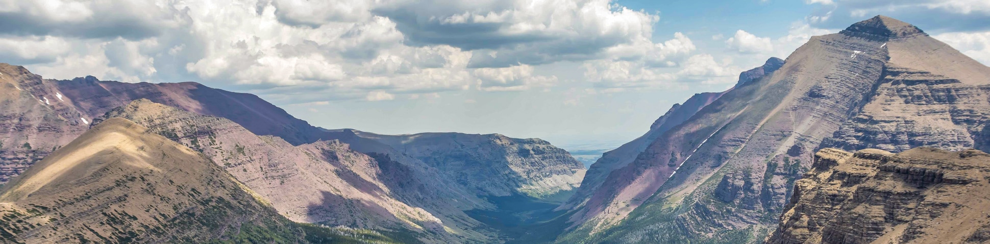
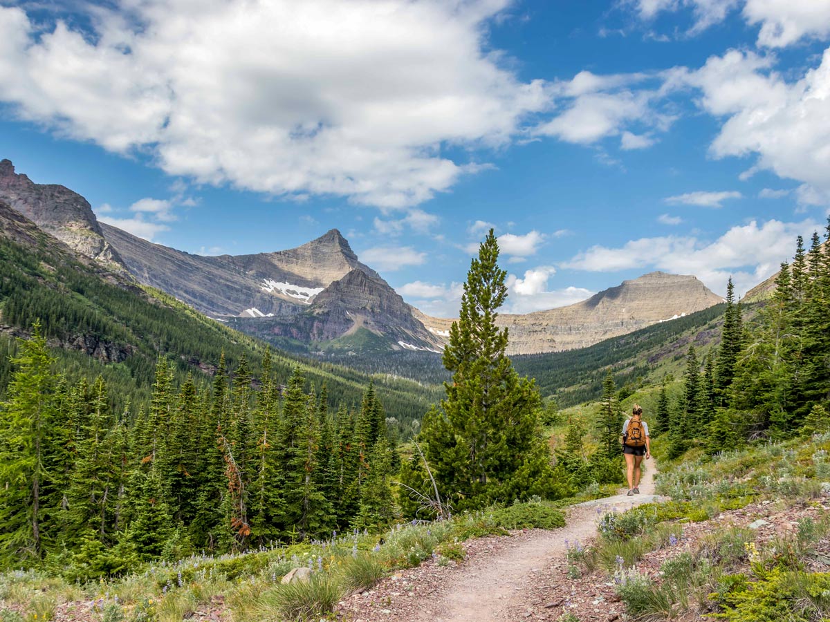
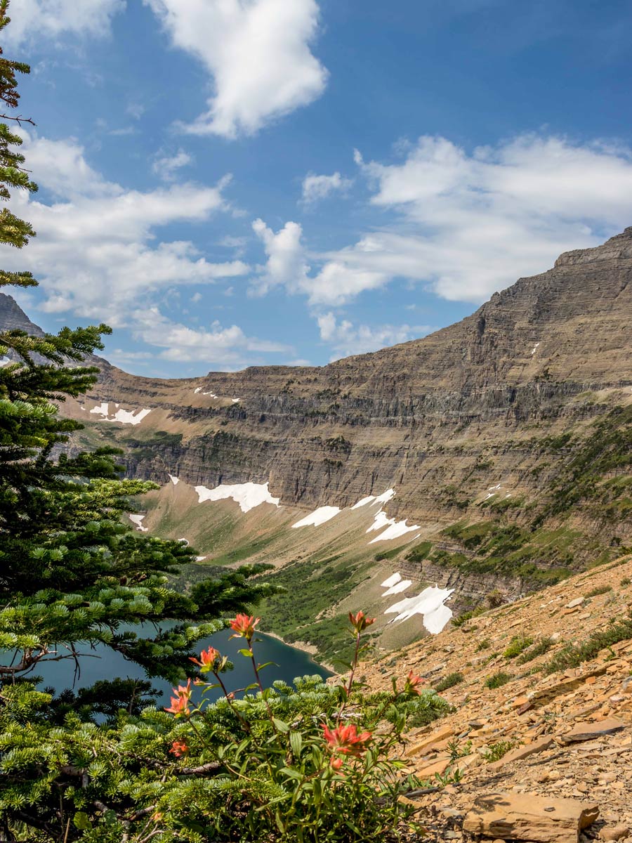
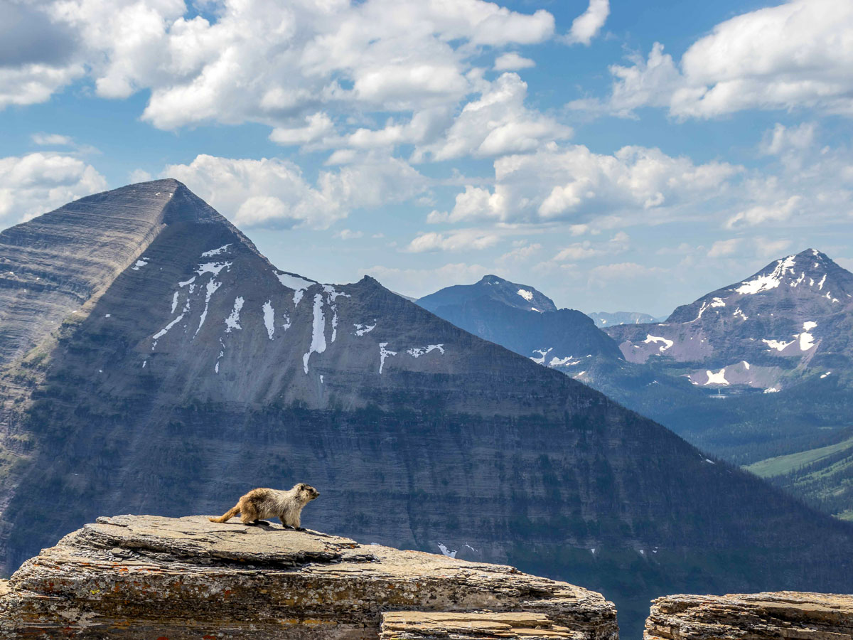
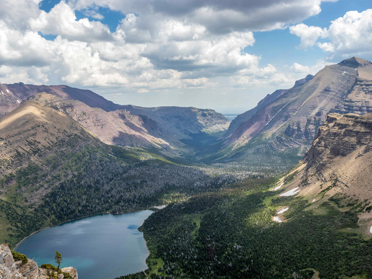
From there, you return to the main trail and continue in a counter-clockwise direction. This is where the path becomes significantly steeper as it switchbacks up to Pitamakan Pass. The views are spectacular the whole way up, but from the pass and along the ridge, you can see many different parts of Glacier National Park. Cutbank Valley and Old Man Lake look spectacular from the Pitamakan viewpoint! As you continue along the ridge, the continental divide, you get views into the Coal/Nyack area. The trail goes between Mt. Morgan, and Finsch Peak before continuing around Finsch Peak to Dawsons Pass.
From Dawson’s Pass, you get great views down into the Lewis Range. As you continue along the trail, you descend into Bighorn Basin. You can try to catch the last boat tour down Two Medicine Lake Shore and back to the boat dock near the campground. If it has left, continue for 3.0mi on level ground back to the campground.
Find more epic hikes in Glacier National Park
Insider Hints
If you take the route in a clockwise direction you can guarantee to catch the boat early and skip the initial three miles.

Similar hikes to the Pitamakan Dawson Loop hike
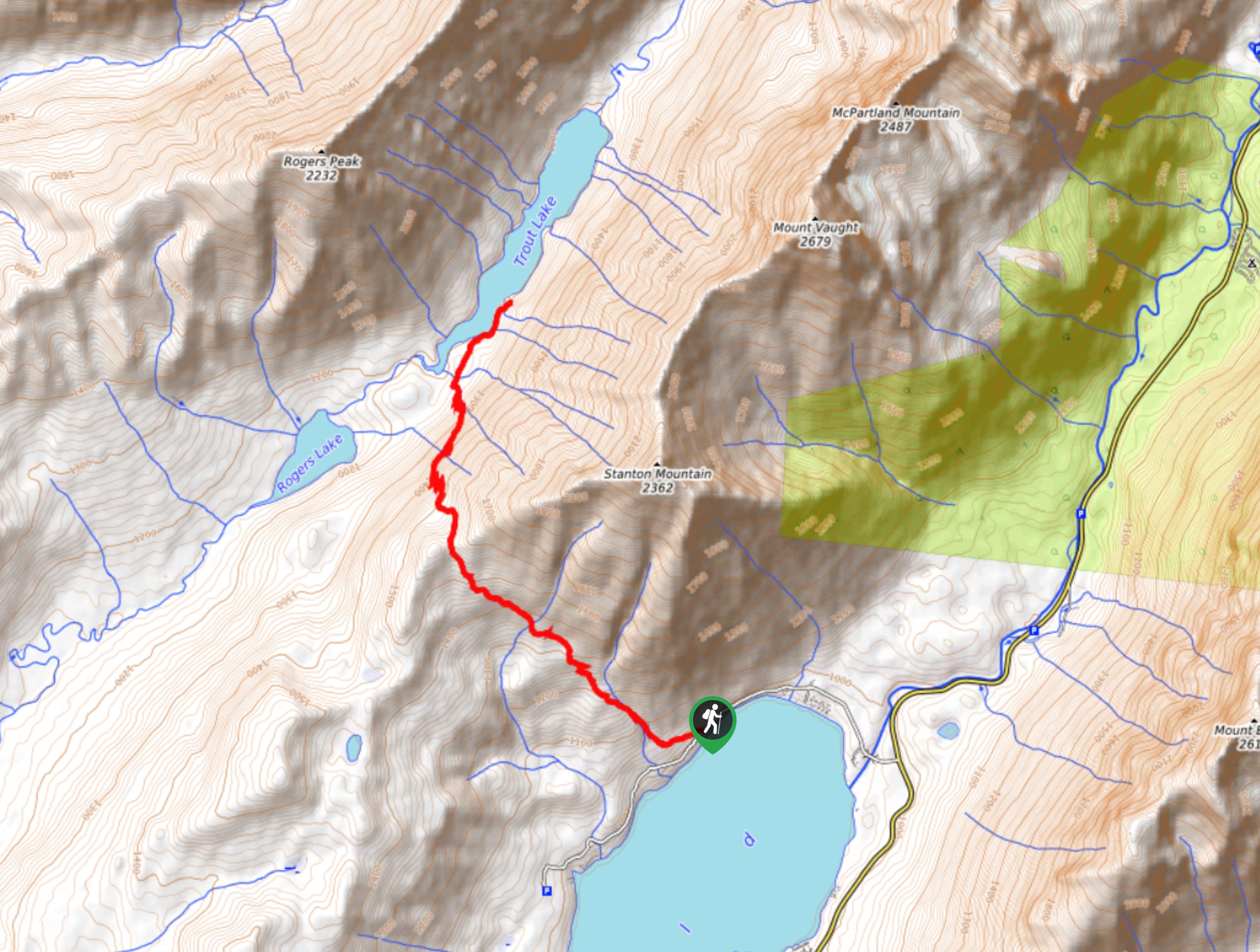
Trout Lake Trail
Trout Lake Trail is a stunning, remote area of Glacier National Park that provides a challenging hike to anyone brave…
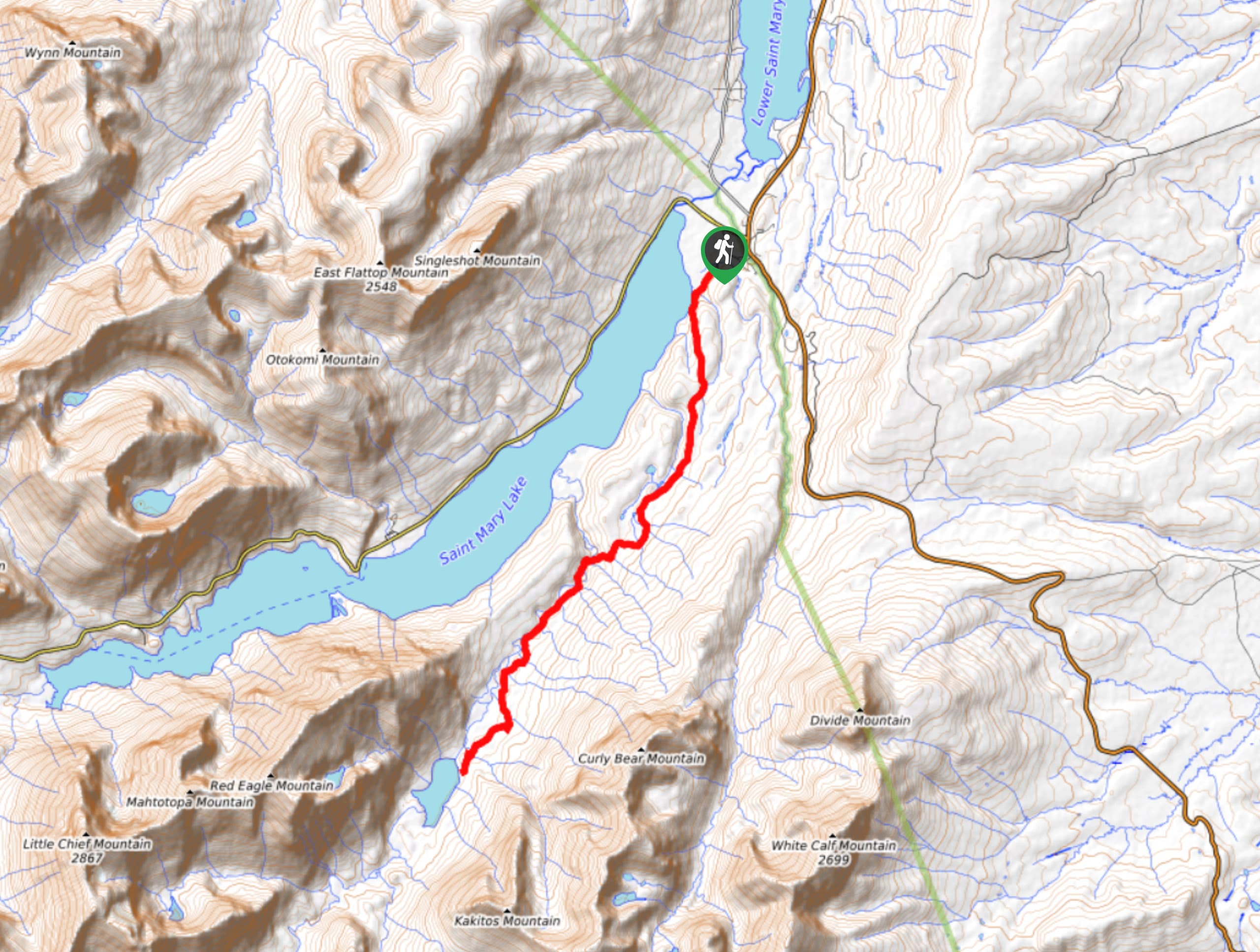
Red Eagle Lake Trail
Red Eagle Lake Trail is a beautiful hike that takes you through beautiful scenery and stunning mountains. The trail was…
Poia Lake Trail
Poia Lake Trail is a scenic trail that takes you through limestone mountains, climbing ridges and exploring Poia Lake’s pebble…
Antoanette Lavroutte 4 years ago
Wow. This was a phenomenal day hike. It was long... as other reviewers have said, but it is worth every bit of effort if you are an avid hiker/able-bodied human.
liwei 4 years ago
More than happy to be here and take in the sights from the road and the trails!