Trout Lake Trail
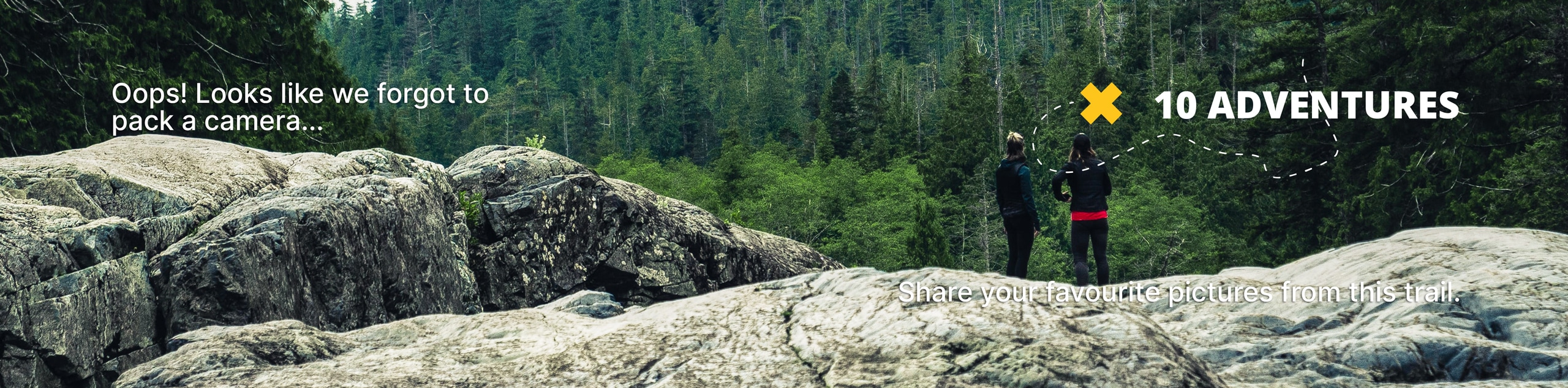
View Photos
Trout Lake Trail
Difficulty Rating:
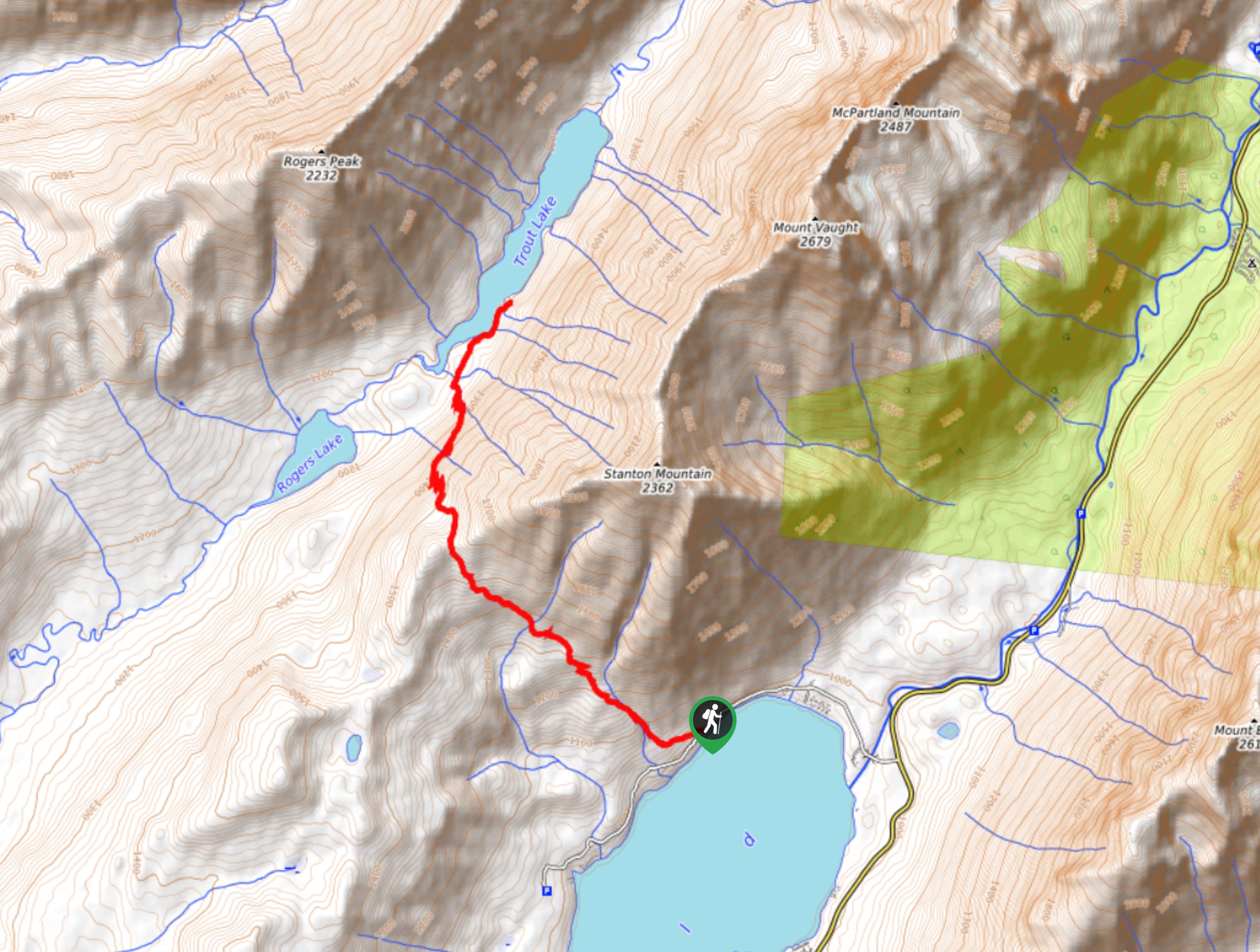
Trout Lake Trail is a stunning, remote area of Glacier National Park that provides a challenging hike to anyone brave enough to take it on. The trail leads you up through Howe Ridge with a steep climb and then takes you through forested areas that were burned in a wildfire. These burned areas allow you to see small glimpses of McDonald Lake, and eventually, Trout Lake.
Getting there
To get to Trout Lake Trail from West Glacier, follow the Going to the Sun Road to Lake McDonald Lodge and go left on North Shore Lake McDonald Road. Continue on this road for 0.3mi, and you will come across a small parking lot and the trailhead sign.

About
| When to do | May - September |
| Backcountry Campsites | No |
| Pets allowed | No |
| Family friendly | No |
| Route Signage | Average |
| Crowd Levels | Low |
| Route Type | Out and back |
Trout Lake Trail
Elevation Graph
Weather
Trout Lake Trail Description
Trout Lake Trail is a remote area of Glacier National Park that is not frequented by many hikers. The beginning of the hike takes you on a steep climb over Howe Ridge. Once you reach the top of this ridge, there is a steep descent down to Trout Lake, where you will hike through forested areas that were burned in the Roberts Fire in 2003. During your descent, you will see the Camas Lake Trail, and you will take a right and shortly be on the shores of Trout Lake. After taking in the views, head back the way you came as this is an out-and-back trail.
Find more epic hikes in Glacier National Park
Similar hikes to the Trout Lake Trail hike

Fish Lake Trail
Fish Lake Trail is a mix between relaxing and heart pumping. The start of the trail takes you through a…

Quartz Creek Trail
Quartz Creek Trail is a relaxing hike on a remote trail in Glacier National Park. The hike takes you through…

Snyder Ridge Trail
Hiking through Snyder Ridge Trail takes you through a forest for most of the trail that follows the ridge along…
Comments