

South Boundary Trail
View PhotosSouth Boundary Trail
Difficulty Rating:
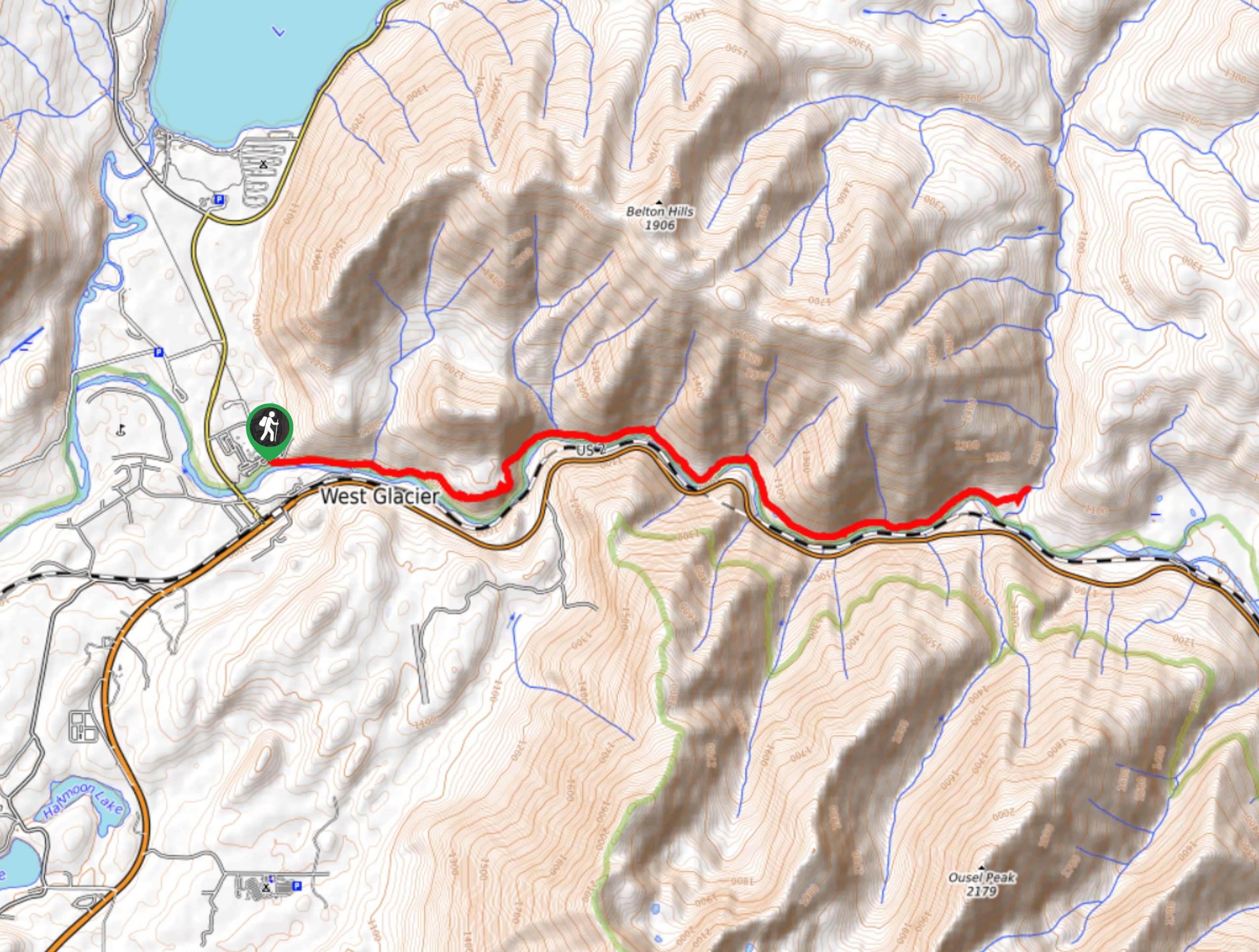
The South Boundary Trail is a short hike down the Middle Fork Flathead River that boasts views of the surrounding forest. The hike used to carry on longer, but the erosion of the soil and lack of hikers have cut the trail distance down. Most hikers now turn and head back at Lincoln Creek.
Getting there
To get to South Boundary Trail from West Glacier, head northeast on US-2 East for 4.8mi. You will arrive at your destination at this point.
About
| When to do | August - October |
| Backcountry Campsites | No |
| Pets allowed | Yes |
| Family friendly | No |
| Route Signage | Average |
| Crowd Levels | Moderate |
| Route Type | Out and back |
South Boundary Trail
Elevation Graph
Weather
South Boundary Trail Description
The South Boundary Trail is known for its winding rivers that switch from large calm pools to rushing rapids along the North Fork Flathead River. This area is not accessed a lot by hikers and can be quite dangerous from spring to August due to high rushing water. The trail begins at the Belton Bridge. Be sure to stick to the right hand side after crossing the river. The first 5.0mi of the hike will take you through a vibrant green forest until you reach Lincoln Creek. At this point, most hikers will enjoy the view and then turn back the way they came.
Find more epic hikes in Glacier National Park
Similar hikes to the South Boundary Trail hike
Fish Lake Trail
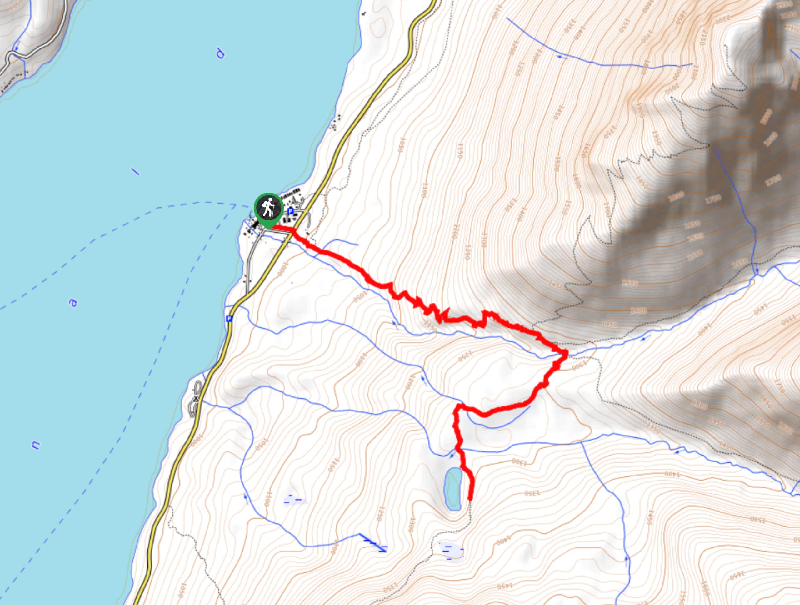
Fish Lake Trail is a mix between relaxing and heart pumping. The start of the trail takes you through a…
Quartz Creek Trail
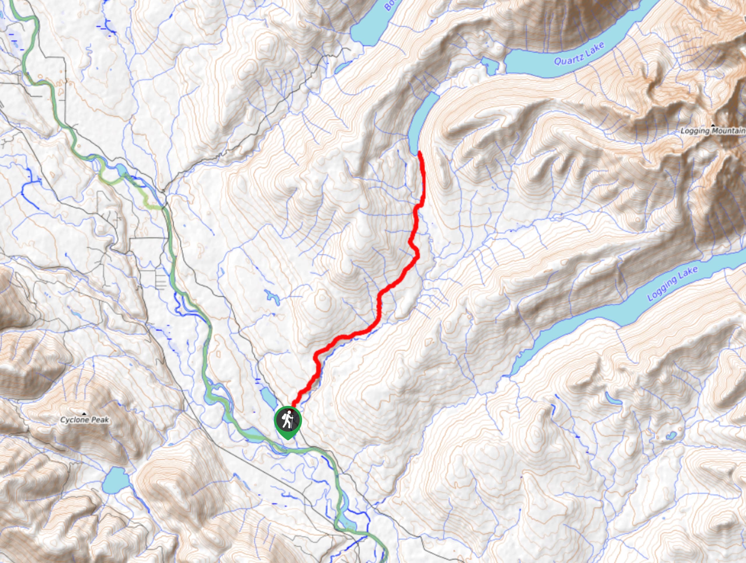
Quartz Creek Trail is a relaxing hike on a remote trail in Glacier National Park. The hike takes you through…
Snyder Ridge Trail
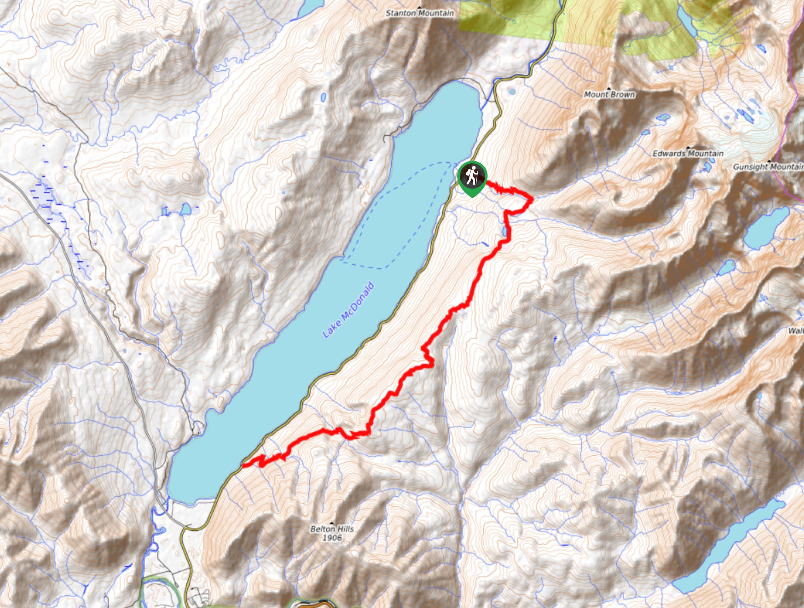
Hiking through Snyder Ridge Trail takes you through a forest for most of the trail that follows the ridge along…



Comments