Rainbow Falls Trail
View Photos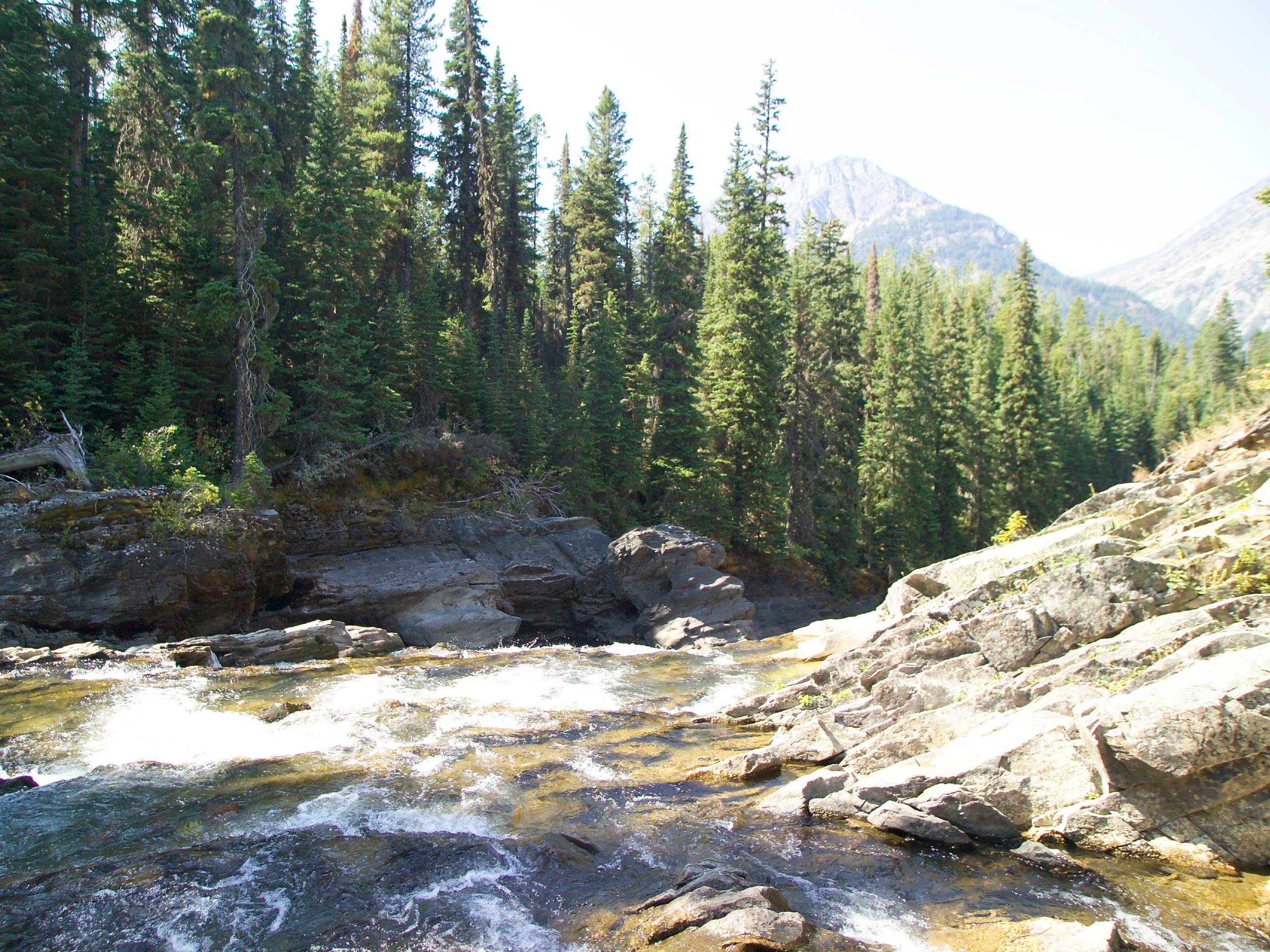
Rainbow Falls Trail
Difficulty Rating:
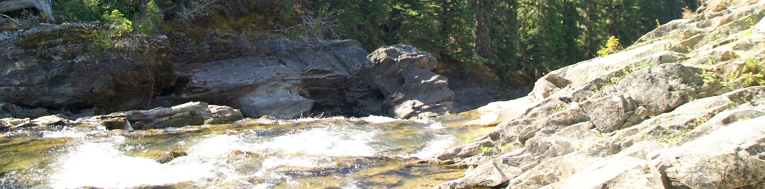
The Rainbow Falls Trail is a gorgeous hike that sits near the Canadian and United States border. It takes you through the forest among an abundance of huckleberries and ends with views of the falls with Mount Cleveland towering above. This is a remote hike where few people venture, so if you are looking for a quiet, solitary hike, this is perfect.
The trail is closed.
Getting there
To get to Rainbow Falls Trail, you have to pass through US Customs at the Goat Haunt checkpoint. Coming from Upper Waterton Lake, Alberta, take the boat tour that drops you off at the Goat Haunt checkpoint, where you will present your passport and then can continue on the hike.

About
| When to do | April - October |
| Backcountry Campsites | No |
| Pets allowed | No |
| Family friendly | Yes |
| Route Signage | Average |
| Crowd Levels | Moderate |
| Route Type | Out and back |
Rainbow Falls Trail
Elevation Graph
Weather
Rainbow Falls Trail Description
Rainbow Falls Trail is a unique hike that sits at the border of Canada and the United States, and is one of the only hikes in Glacier National Park that requires a passport. Once you have gotten through the Goat Haunt passport checkpoint, you embark on the Waterton Lake Trail. After hiking for 0.2mi, you will cross Cleveland Creek and continue along the Waterton River. At 0.9mi, you will come across Rainbow Falls with Cleveland Mountain towering over. When you are finished taking in the views, head back the way you came as this is an out and back.
Find more epic hikes in Glacier National Park
Similar hikes to the Rainbow Falls Trail hike

Fish Lake Trail
Fish Lake Trail is a mix between relaxing and heart pumping. The start of the trail takes you through a…

Quartz Creek Trail
Quartz Creek Trail is a relaxing hike on a remote trail in Glacier National Park. The hike takes you through…

Snyder Ridge Trail
Hiking through Snyder Ridge Trail takes you through a forest for most of the trail that follows the ridge along…
Comments