
Paradise Point Trail
View Photos
Paradise Point Trail
Difficulty Rating:
Paradise Point Trail is a very scenic trail; the trailhead alone is even worth a visit. Take in views of Lone Walker Mountain, Painted Tepee Peak, Sinopah Mountain, and Mt. Helen before embarking on the trail itself. Head to the beach to enjoy a picnic with views of Rising Wolf Mountain or take a kayak out to test the waters.
Getting there
To get to Paradise Point Trail from Essex, head northeast on Izaak Walton Rd/Izaak Walton Inn Road toward US-2 West. Turn right onto US-2 East for 28.3mi, and then turn left onto MT-49 North. After 4.1mi, turn left onto 2 Medicine Road, take your first left, and then your first right and arrive at Paradise Point Trail.

About
| When to do | April - September |
| Backcountry Campsites | No |
| Pets allowed | No |
| Family friendly | No |
| Route Signage | Average |
| Crowd Levels | Moderate |
| Route Type | Out and back |
Paradise Point Trail
Elevation Graph
Weather
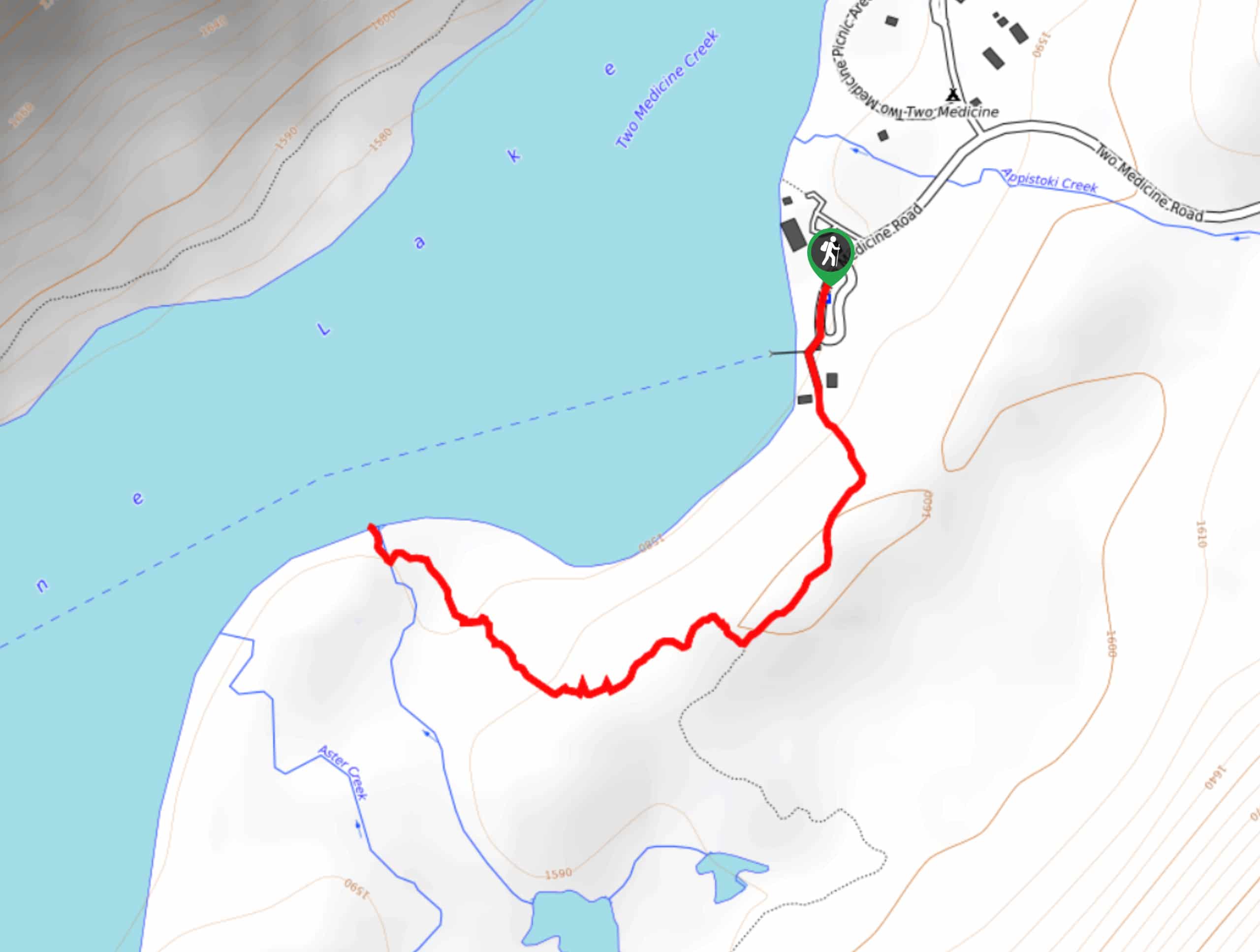
Paradise Point Trail Description
Paradise Point Trail in Glacier National Park is a visually stunning hike that boasts various mountains and water sources, which are perfect for water activities. The hike begins at the South Shore Trailhead at Two Medicine Lake. At 0.3mi, you will follow the right trail that leads through the Paradise Point Trail. Continue on for 0.4mi, and reach Two Medicine Lake. Spend the day here having lunch or participating in water activities before heading back the way you came on this out-and-back trail.
Find more epic hikes in Glacier National Park
Similar hikes to the Paradise Point Trail hike

Fish Lake Trail
Fish Lake Trail is a mix between relaxing and heart pumping. The start of the trail takes you through a…

Quartz Creek Trail
Quartz Creek Trail is a relaxing hike on a remote trail in Glacier National Park. The hike takes you through…

Snyder Ridge Trail
Hiking through Snyder Ridge Trail takes you through a forest for most of the trail that follows the ridge along…
Comments