Kootenai Lakes Trail
View Photos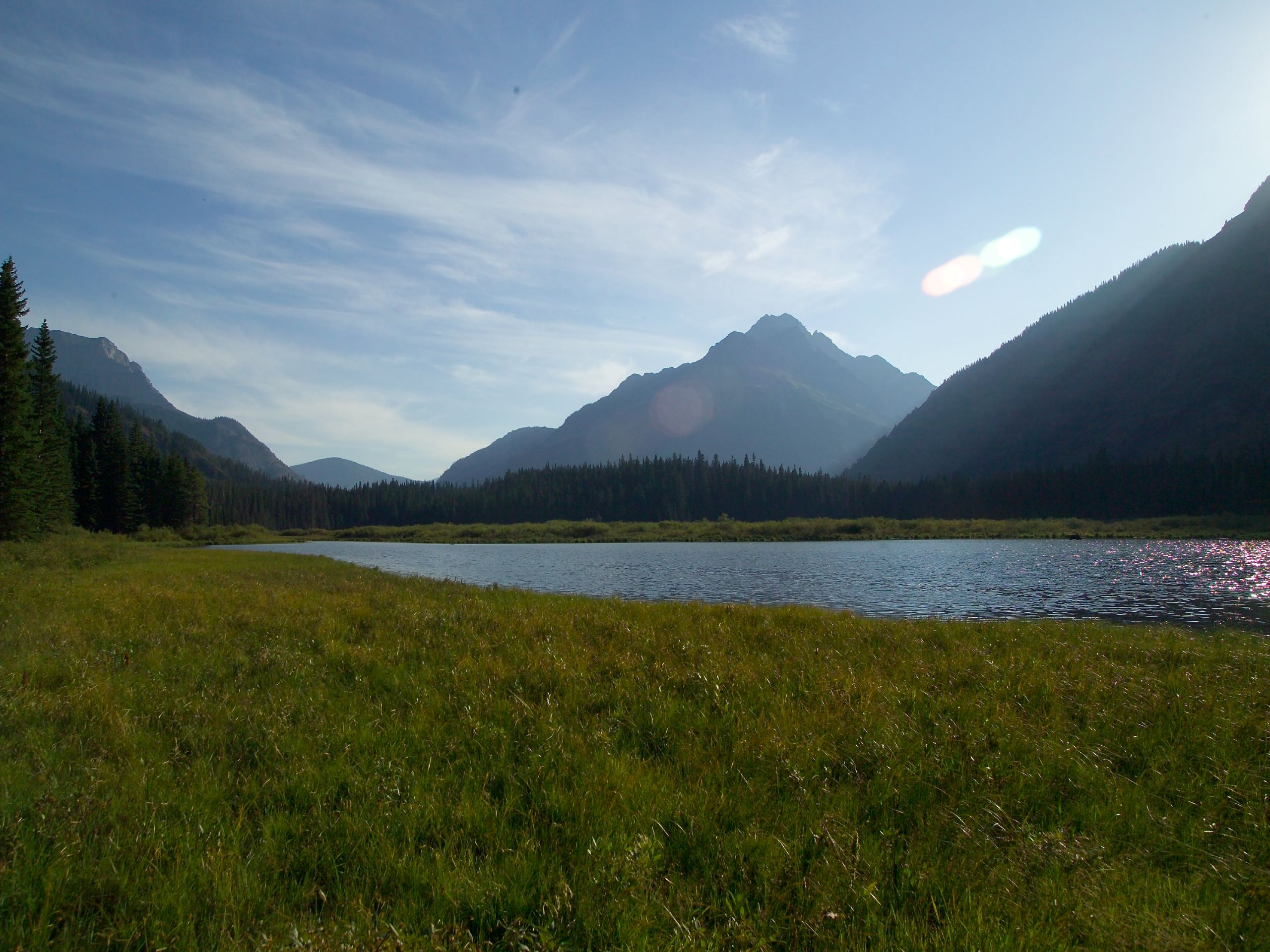
Kootenai Lakes Trail
Difficulty Rating:
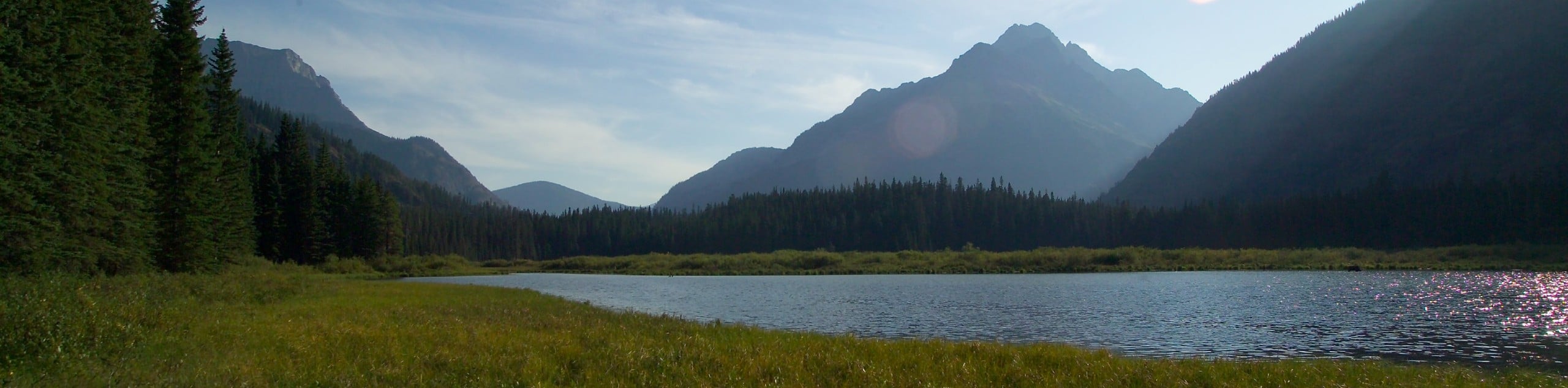
Kootenai Lake Trail is in an interesting spot as it’s located right at the border of Canada and the United States. Your hike to the Kootenai Lake Trail actually begins on the Waterton Valley Trail and takes you through a beautifully green forest with relatively no elevation. Kootenai Lake is surrounded by the Porcupine Ridge, which holds the Citadel Peaks and makes for a wonderful setting.
Getting there
For the Kootenai Lakes Trail, it is easiest to get to the trailhead by boat, unless you want to do 7 hours of hiking! Take the boat from Goat Haunt Montana and it will bring you to Waterton Lake, where you can find the trailhead.

About
| When to do | April - October |
| Backcountry Campsites | Kootenai Lakes backcountry campground |
| Pets allowed | No |
| Family friendly | Yes |
| Route Signage | Average |
| Crowd Levels | Low |
| Route Type | Out and back |
Kootenai Lakes Trail
Elevation Graph
Weather
Kootenai Lake Trail Description
The hike for Kootenai Lake Trail begins at the Waterton Valley Trail, which you have to make sure you follow as the Waterton Lake Trail begins from the same point; however, the signs are pretty clear. Wandering through a beautifully green forest, you will come to the Kootenai Lake Trail junction after 2.5mi of hiking. Follow this trail and it will lead you to the stunning Lake of Kootenai, where you will be speechless as you gaze at the incredible site. This is an out and back trail, so follow the same route that you came in on.
Similar hikes to the Kootenai Lakes Trail hike

Fish Lake Trail
Fish Lake Trail is a mix between relaxing and heart pumping. The start of the trail takes you through a…

Quartz Creek Trail
Quartz Creek Trail is a relaxing hike on a remote trail in Glacier National Park. The hike takes you through…

Snyder Ridge Trail
Hiking through Snyder Ridge Trail takes you through a forest for most of the trail that follows the ridge along…
Comments