Florence Falls Trail
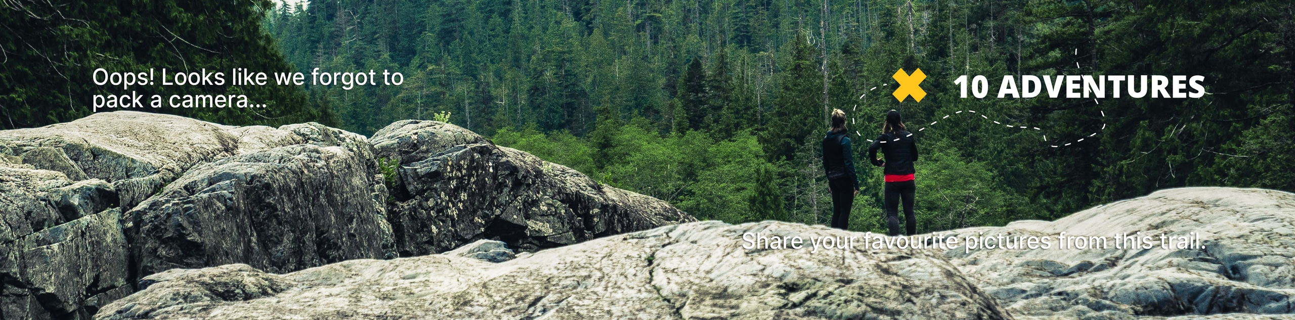
View Photos
Florence Falls Trail
Difficulty Rating:
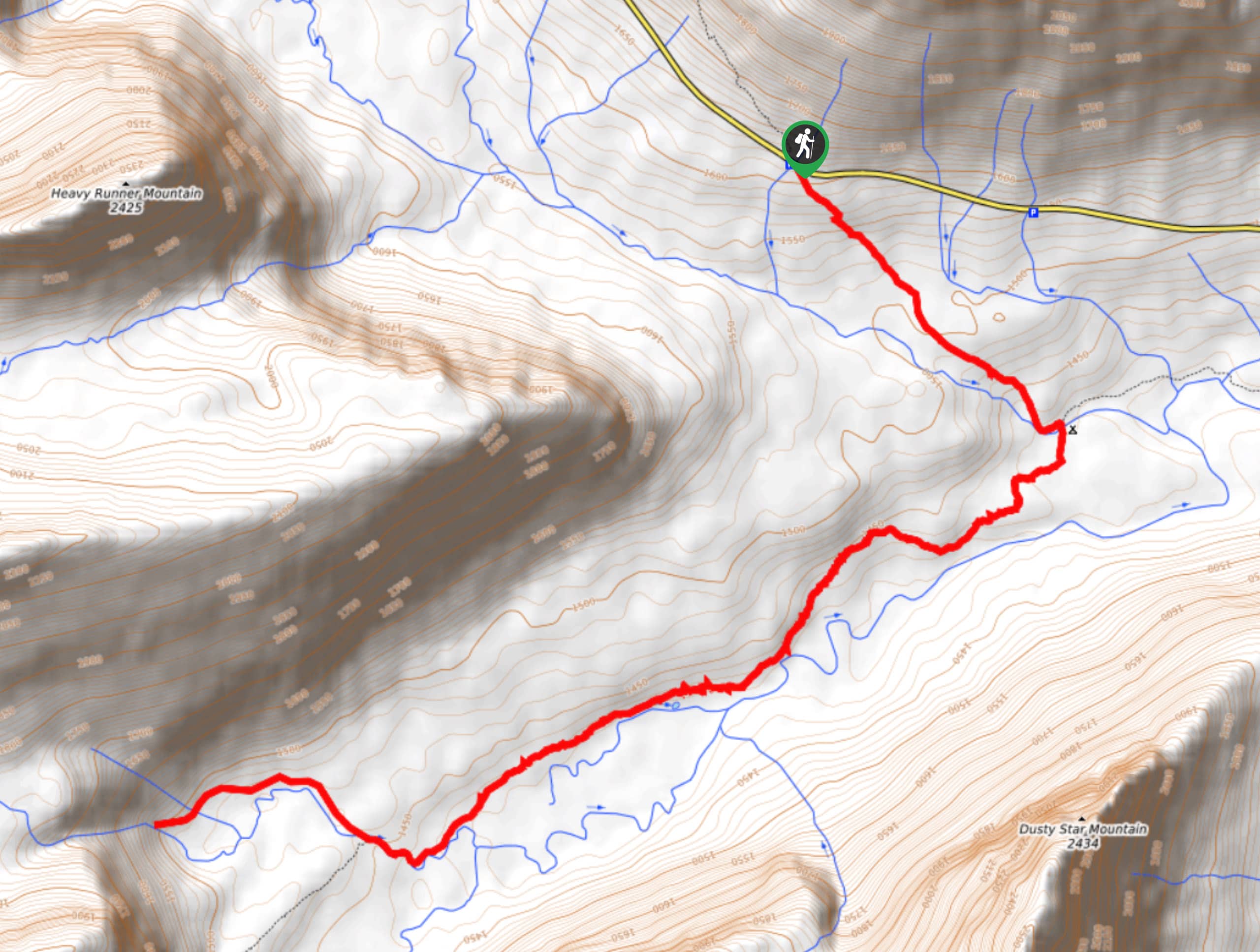
The Florence Falls Trail is a captivating journey through rushing waterfalls like Deadwood Falls and cool grey mountain backdrops from Gunsight and Fusillade Mountains and Mount Jackson. Pass through thimbleberry patches and chest-high vegetation, which are an excellent source of food and a good hiding spot for grizzly bears, so keep an eye out and make some noise! If you can climb up some steep rocks, you will be able to stand on top of Florence Falls and watch the water crash down over 100ft.
Getting there
To get to Florence Falls Trail from Saint Marys, head Northwest on Glacier Route 1/Going-to-the-Sun Road for 13.2mi until you reach Jackson Glacier Overlook, which is where the Florence Falls Trailhead is located.

About
| When to do | May - September |
| Backcountry Campsites | Reynolds Creek Campground |
| Pets allowed | No |
| Family friendly | Yes |
| Route Signage | Average |
| Crowd Levels | Moderate |
| Route Type | Out and back |
Florence Falls Trail
Elevation Graph
Weather
Florence Falls Trail Description
Florence Falls Trail is a delightful and visually stimulating hike through waterfalls and with views of the mountains. Beginning your hike, you will leave the roadside parking area and head down 665ft to Deadwood Falls. In 1.2mi, you will find Gunsight Pass Junction, where you will take a right and cross a long suspension footbridge arriving close to the St. Marys River. At 2.9mi, you will see some of the best views of Glacier National Park and mirror pond with a backdrop of Gunsight and Fusillade Mountains and Mount Jackson. Coming up to 3.9mi, you will be rewarded with the cascading waters of Florence Falls after walking through some chest-high vegetation (watch out for bears!). This is an out and back trail, so proceed the way you came when you are ready to head back.
Similar hikes to the Florence Falls Trail hike

Fish Lake Trail
Fish Lake Trail is a mix between relaxing and heart pumping. The start of the trail takes you through a…

Quartz Creek Trail
Quartz Creek Trail is a relaxing hike on a remote trail in Glacier National Park. The hike takes you through…

Snyder Ridge Trail
Hiking through Snyder Ridge Trail takes you through a forest for most of the trail that follows the ridge along…
Comments