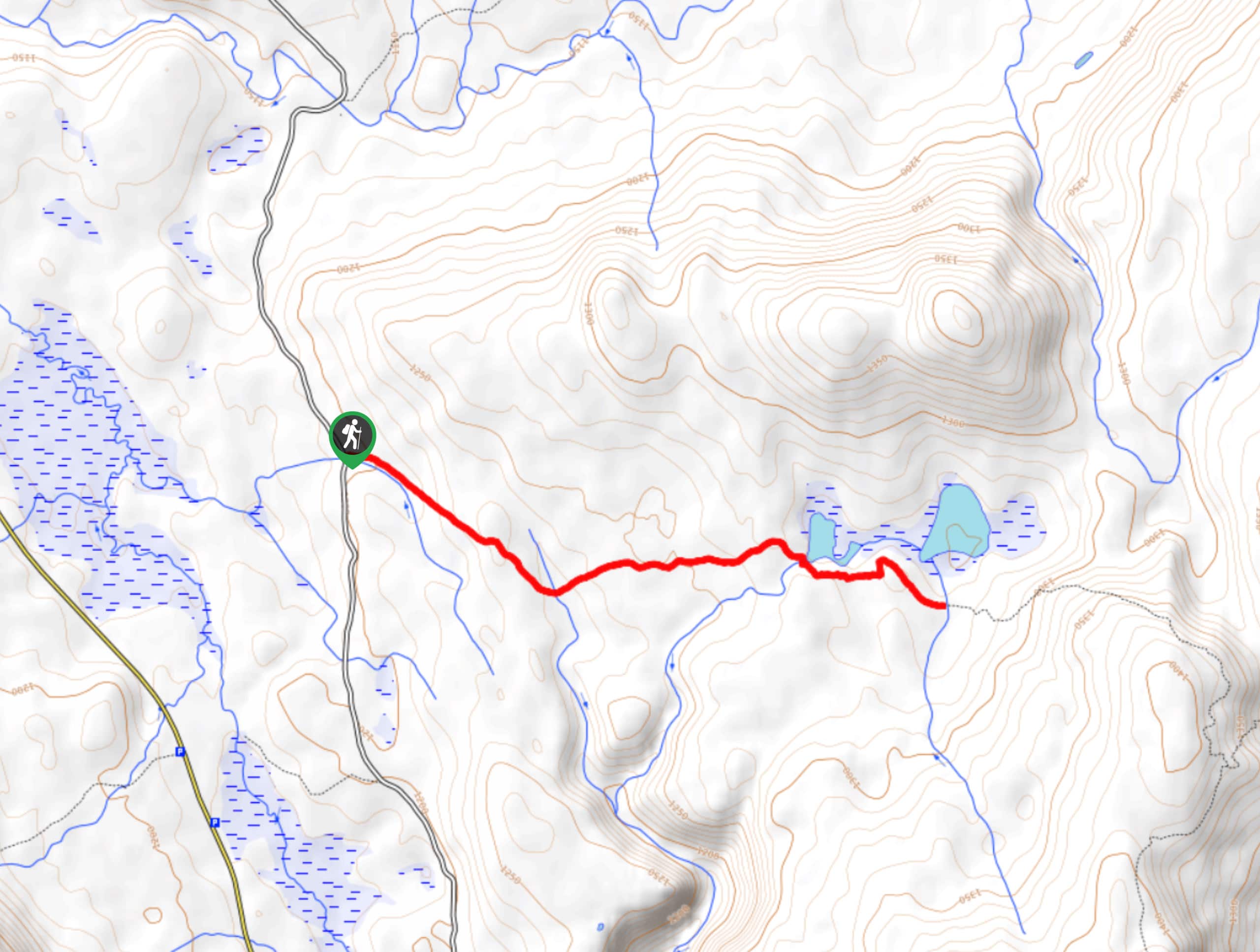
Howe Lake Trail
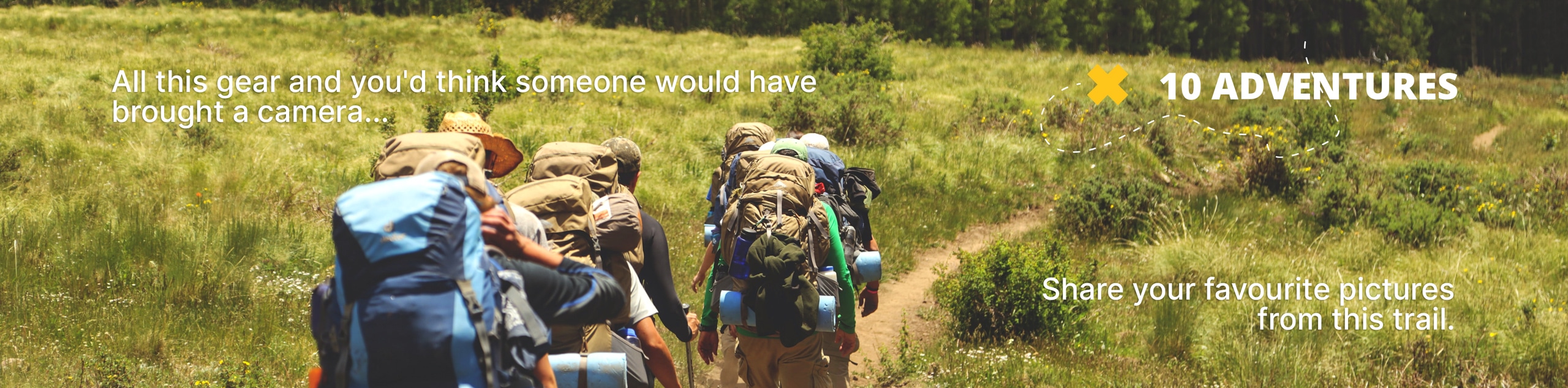
View Photos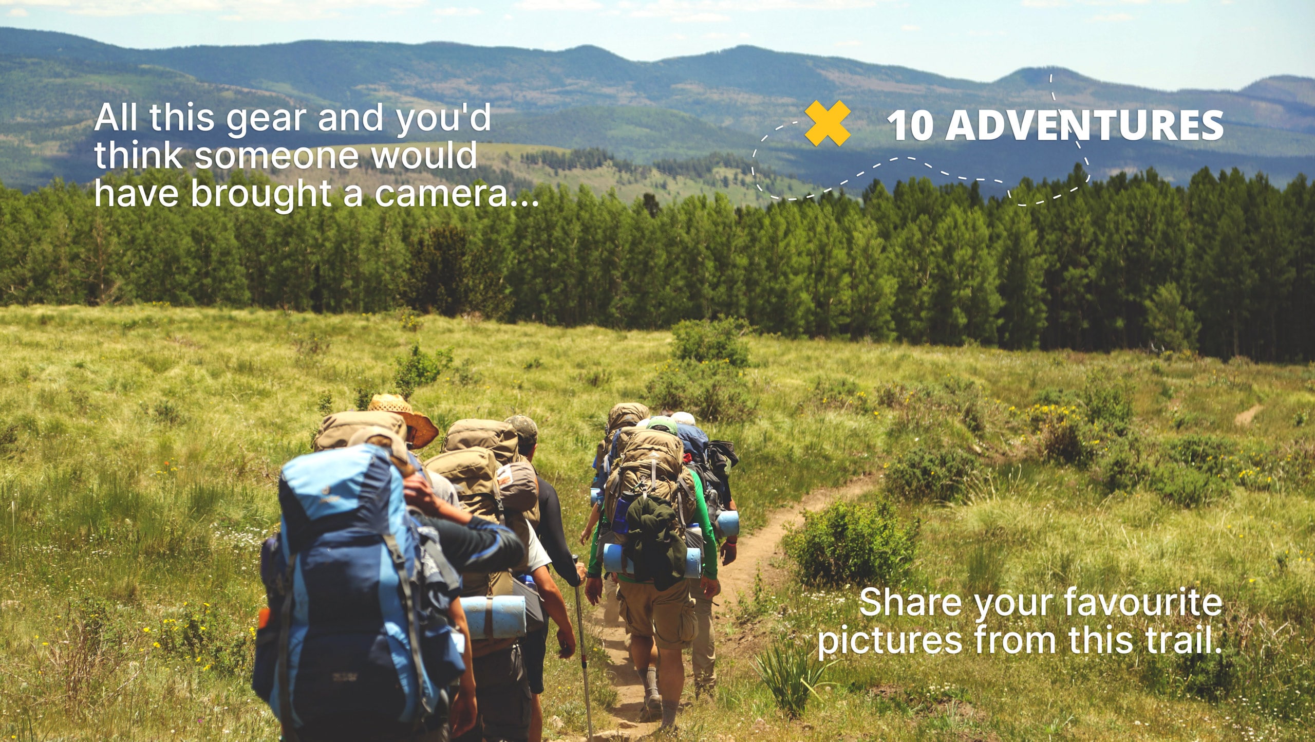
Howe Lake Trail
Difficulty Rating:
Howe Lake Trail is an off-the-beaten path trail that takes you on a relaxing journey to Howe Lake. Although not surrounded by mountains like a lot of other trails in Glacier National Park, the end rewards you with stunning lake views and showcases mountain peaks in the distance. This hike also is home to a lot of fire weed and a lot was burned in the fires that took over the park years ago.
Getting there
To get to Howe Lake Trail from Coram, head North on US-2/Highway 2 East toward Corbett Lane and in 6.7mi, turn left onto Glacier Route 1 Road/Going-to-the-Sun Road. In 2.0mi, turn left onto Camas Road and stay on this road for 1.3mi. Turn right onto Fish Creek Campground Road and then Fish Creek Campground Road turns slightly right and becomes Inside North Fork Road. After 5.1mi, you will arrive at your destination.

About
| When to do | Year round access |
| Backcountry Campsites | No |
| Pets allowed | No |
| Family friendly | No |
| Route Signage | Average |
| Crowd Levels | Low |
| Route Type | Out and back |
Howe Lake Trail
Elevation Graph
Weather
Howe Lake Trail Description
The Howe Lake Trail is beautiful and is great for hikers looking for a relaxing journey without much climbing or elevation. The trail follows the signage and takes you to a quaint lake, where you can sit and enjoy a picnic surrounded by wildflowers. This trail differs from others in Glacier National Park as it is not surrounded by mountains, but you still have a stunning view of Howe Lake with the mountains peaks in the distance. When you are ready to leave, head back the way you came as this is an out-and-back trail.
Find more epic hikes in Glacier National Park
Similar hikes to the Howe Lake Trail hike

Fish Lake Trail
Fish Lake Trail is a mix between relaxing and heart pumping. The start of the trail takes you through a…

Quartz Creek Trail
Quartz Creek Trail is a relaxing hike on a remote trail in Glacier National Park. The hike takes you through…

Snyder Ridge Trail
Hiking through Snyder Ridge Trail takes you through a forest for most of the trail that follows the ridge along…
Comments