
Weldon Wagon Road Trail
View Photos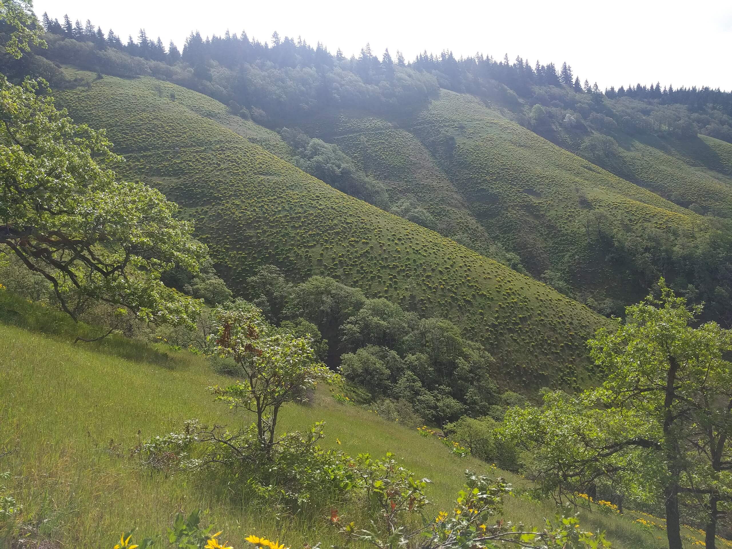
Weldon Wagon Road Trail
Difficulty Rating:
Weldon Wagon Road Trail is a straightforward hike with nice views. This 4.4mi trail takes you straight up and then straight down, offering a good workout. The views are in the middle of the hike, making the climb more enjoyable. While the trail doesn’t lead to anything major, it’s much less busy than other nearby hikes and makes for a pleasant outing. This hike is rated as moderate.
Getting there
The trailhead for the Weldon Wagon Road Trail is on Indian Cemetery Road.

About
| Backcountry Campground | No |
| When to do | April-October |
| Pets allowed | Yes - On Leash |
| Route Signage | Average |
| Crowd Levels | Moderate |
| Route Type | Out and back |
Weldon Wagon Road Trail
Elevation Graph
Weather
Weldon Wagon Road Trail Description
The Weldon Wagon Road Trail might not lead to an epic mountain vista, but it’s an enjoyable hike nonetheless. With a solid workout and plenty to see during wildflower season, it’s a nice pick when the other trails in the area are likely to be crowded.
This hike ends at a section of private property. Please don’t continue any further from the end of the trail. Additionally, it can be hot on summer days due to the lack of shade. Bring sunscreen and lots of water if you’re here on a sunny day.
The hike begins from the trailhead next to the road. It’s pretty much straight up for the whole way there, and while the elevation gain isn’t brutal, it’s consistent. Take breaks in the middle to enjoy the views. When you reach the end of the route, turn back and retrace your steps to the trailhead.
Similar hikes to the Weldon Wagon Road Trail hike

Ptarmigan Trail
Ptarmigan Trail is a 4.2mi moderate trail near the base of Mount Saint Helens. This trail is suitable…

Boundary West Trail
Boundary West Trail is a hike near Mount Saint Helens that doesn’t see much traffic, making it a nice pick…

Silver Creek Trail
Silver Creek Trail is a moderate hike in the Gifford Pinchot National Forest that is suitable for most skill levels.…
Comments