Walupt Lake Trail
View Photos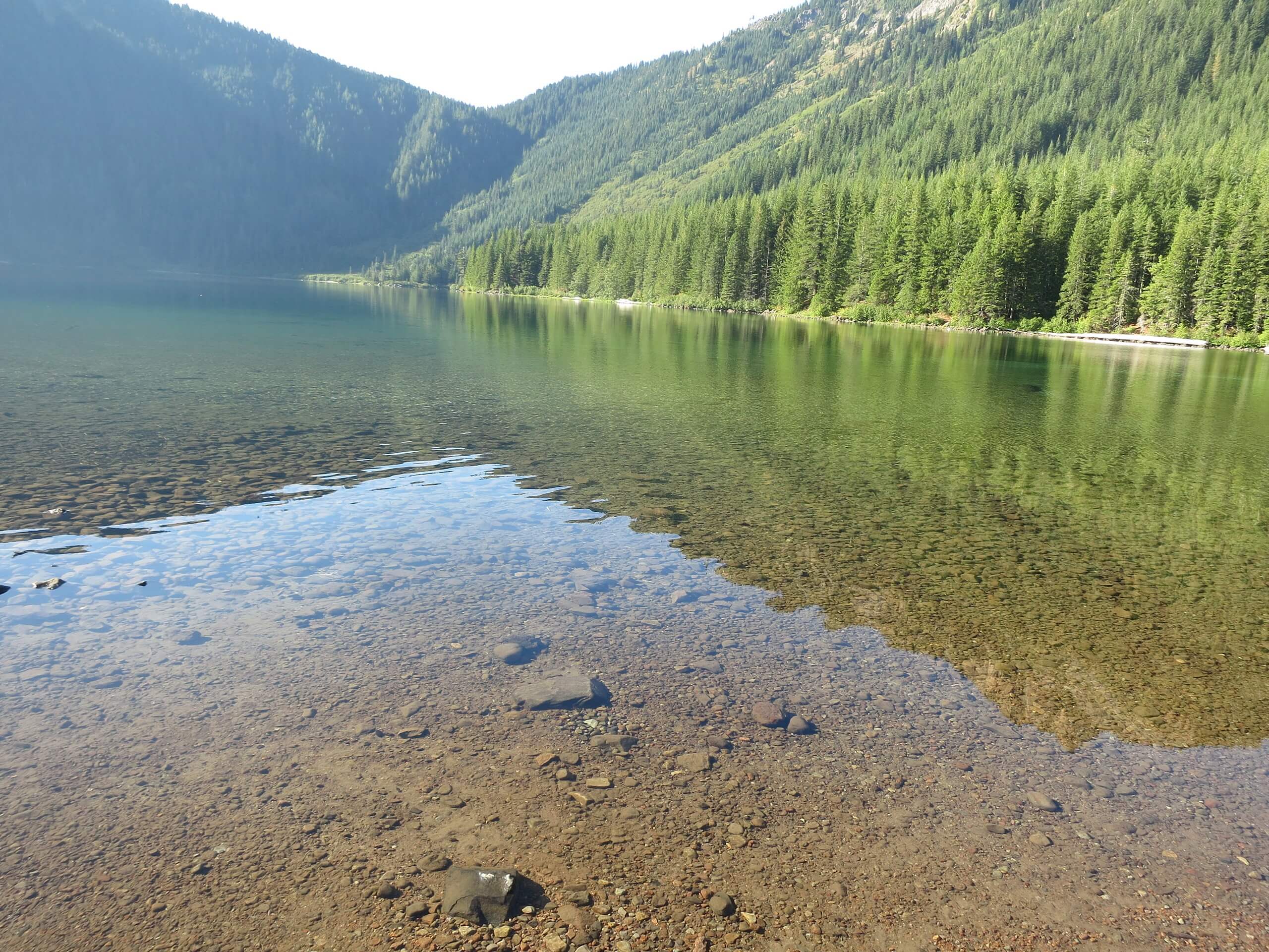
Walupt Lake Trail
Difficulty Rating:
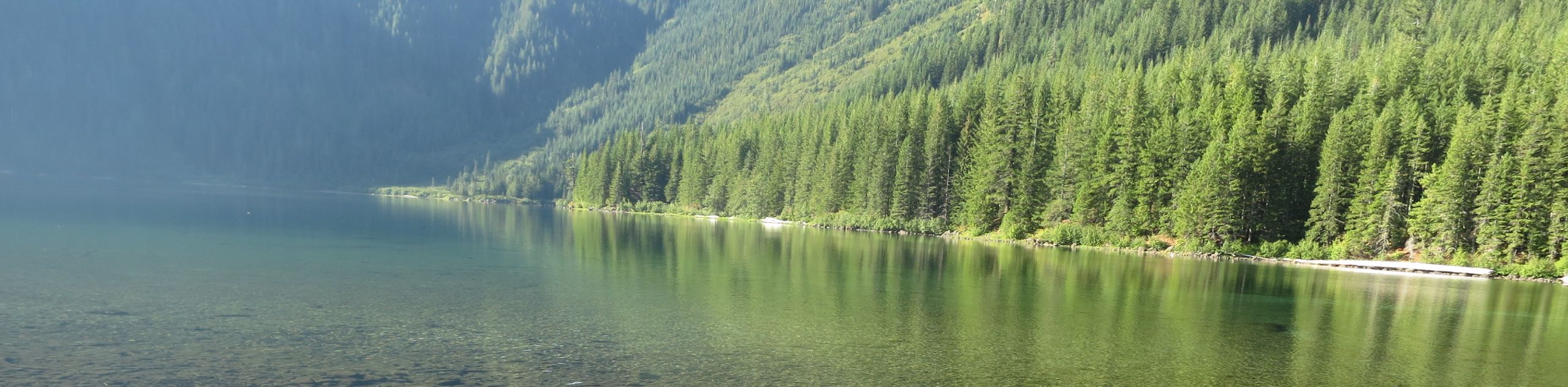
Walupt Lake Trail is a 78.0mi out and back trail in Gifford Pinchot National Forest that is rated as moderate. This hike takes you along Walupt Lake from the Walupt Lake Campground, so it can be used for day trips or as part of a backpacking trip. The lake is calm and perfect on a hot summer day. The mosquitoes can be very bad on this trail, so bring a potent spray.
Getting there
The trailhead for the Walupt Lake Trail is in the Walupt Lake Campground.

About
| Backcountry Campground | Walupt Lake Campground |
| When to do | June-October |
| Pets allowed | Yes - On Leash |
| Family friendly | Yes |
| Route Signage | Average |
| Crowd Levels | Moderate |
| Route Type | Out and back |
Walupt Lake Trail
Elevation Graph
Weather
Walupt Lake Trail Description
Walupt Lake is a fantastic spot to settle into on a hot, sunny day, making the campground on its shores a popular pick. Whether you’re staying at the campground or just in for the day, try the Walupt Lake Trail for an enjoyable, moderate adventure.
This trail is plagued by mosquitoes in the summer months, much like many other trails in this area. Bring a potent spray and try to plan your adventure for late summer when the bugs aren’t as bad.
Begin from the campground, taking the trail that follows the northern shore of Walupt Lake. You’ll walk alongside the entire length of the lake, continuing across the river valley to climb the valley wall. The trail ends near a couple of small lakes at the junction with the PCT. If you want to eliminate the climbing from this trail, you can just hike to the end of the lakeshore and back.
Similar hikes to the Walupt Lake Trail hike

Ptarmigan Trail
Ptarmigan Trail is a 4.2mi moderate trail near the base of Mount Saint Helens. This trail is suitable…

Boundary West Trail
Boundary West Trail is a hike near Mount Saint Helens that doesn’t see much traffic, making it a nice pick…

Silver Creek Trail
Silver Creek Trail is a moderate hike in the Gifford Pinchot National Forest that is suitable for most skill levels.…
Comments