Panther Creek Falls Hike
View Photos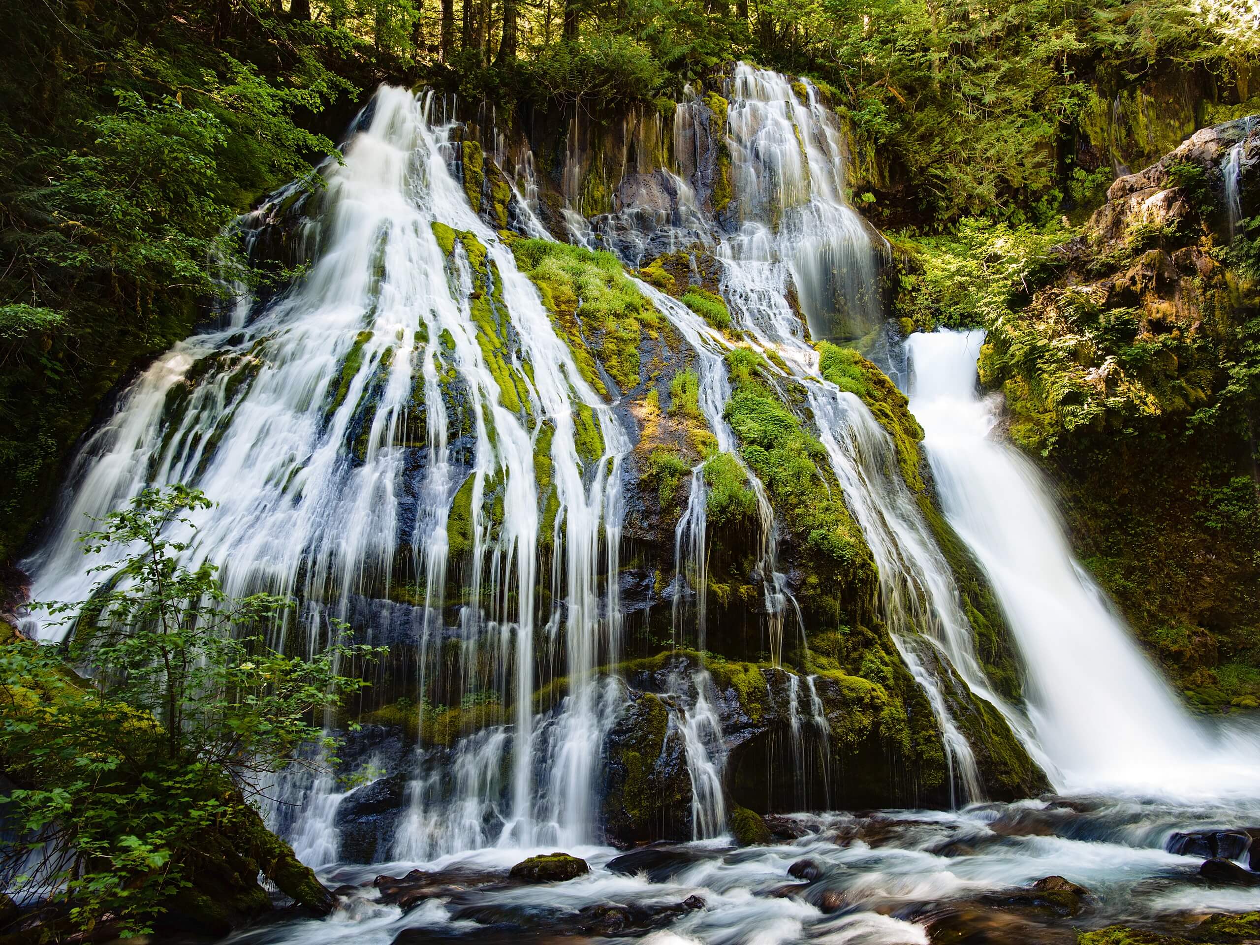
Panther Creek Falls Hike
Difficulty Rating:
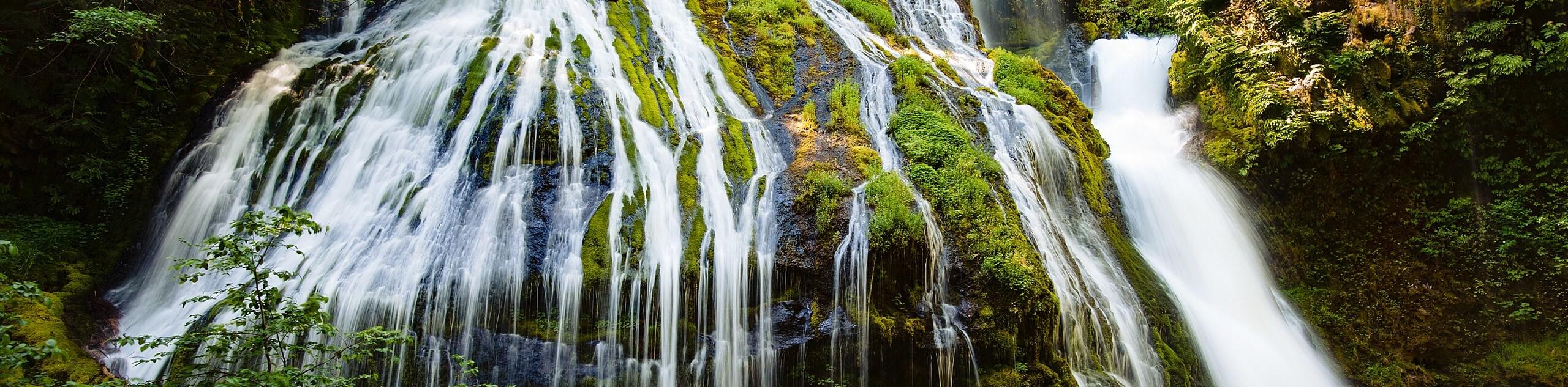
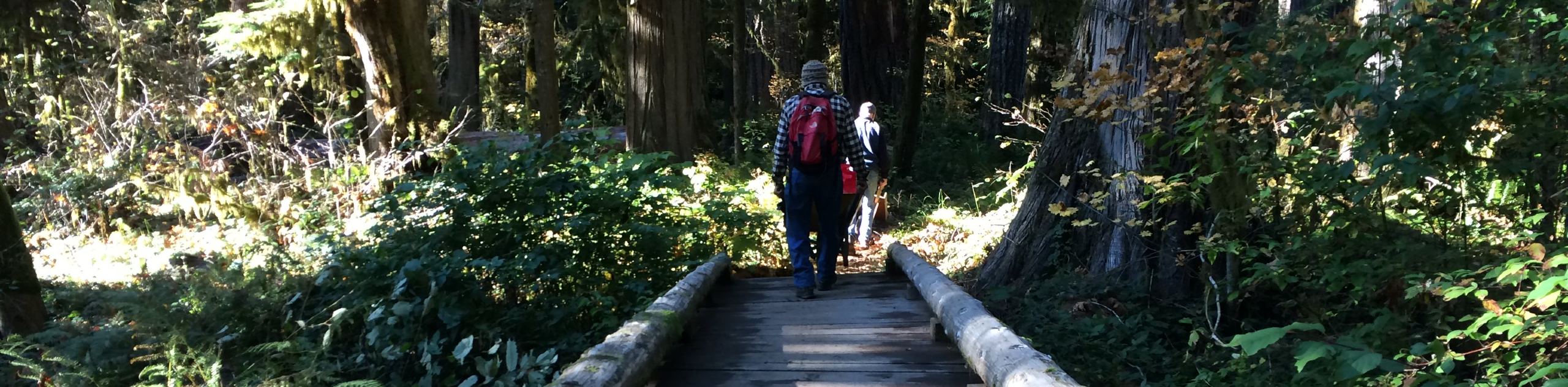
Panther Creek Falls is a beautiful waterfall that cascades over a mossy slope in the Gifford Pinchot National Forest. The hike to the viewpoint for the falls is extremely easy and quick, making it possible to enjoy for most adventurers. The trail is a mere 0.3mi long and is nearly flat. The trail is well maintained and offers a great viewing deck for the falls.
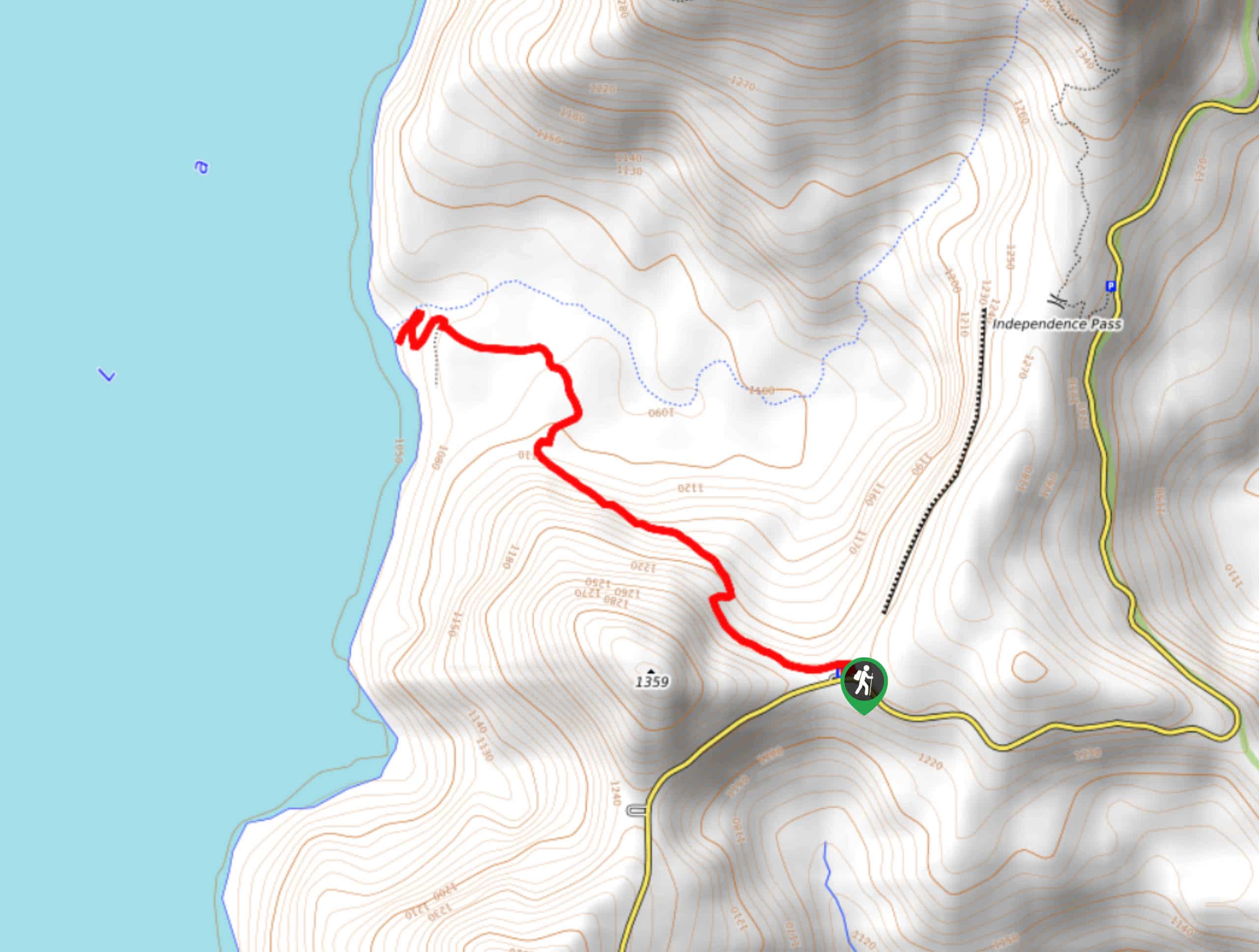
The signage for this hike is poor, but it’s not hard to find your way. Download the GPS track to help find the trailhead if you need to.
Getting there
The trailhead for the Panther Creek Falls hike is on Forest Road 65 across from the parking turnout.

About
| Backcountry Campground | No |
| When to do | April-October |
| Pets allowed | Yes - On Leash |
| Family friendly | Yes |
| Route Signage | Poor |
| Crowd Levels | Moderate |
| Route Type | Out and back |
Panther Creek Falls Hike
Elevation Graph
Weather
Panther Creek Falls Hike Description
Panther Creek Falls are just about as much reward as you can get for a hike that’s barely 0.3mi long. These pretty waterfalls flow over a mossy rock face in the verdant forest, a truly picturesque sight. This is a trail that can be enjoyed by small children, older adults, and everyone in between.
The trail to the falls is generally well maintained and easy to follow. The footing is even, but you should be prepared for a few short somewhat steep descent to the viewing platform. This isn’t particularly difficult for most users and is still suitable for youngsters.
While you won’t be down by the base of the falls, you can make use of the viewing deck to enjoy the view and snap photos.
From the parking turnout, cross the road to the trailhead. There isn’t much signage for this trail, but look for the path that drops down from the road southwest of the parking turnout. Check your GPS track if you’re having any difficulty. There’s a large white arrow spray painted on the concrete that points the way as well.
Once you’re on the trail, it’s a quick walk into the trees and to the falls. There are upper and lower viewing areas, but the lower ones are subject to closure. Check out the falls from whichever viewing areas are open. They’re gorgeous, so snap some photos and enjoy the scenery.
There are several signs reminding you to stay on the trail for the sake of the forest ecosystem and foliage. Please respect these and don’t climb down to the falls or veer off the path. This area is undergoing ecological restoration and remaining on the trail is very important. You may see other hikers going down to the falls, but be a good patron of the outdoors and obey the signage explicitly stating that this should not be done.
Once you’re ready, retrace your steps back to the road, cross with care, and then head off to your next adventure.
Hiking Route Highlights
Panther Creek Falls
Panther Creek Falls is a 130ft waterfall that consists of two drops, the largest of which is 102ft tall. The waterfall tends to remain throughout the year, unlike others that dry up in late summer. The falls can be enjoyed from the viewing platforms built into Panther Creek Falls Trail.
Frequently Asked Questions
Can you swim in Panther Creek Falls?
We don’t recommend trying to swim at the base of the falls. The access to the falls is closed for ecological restoration and there isn’t a safe, good swimming area to use.
Is Panther Creek Falls always open?
The falls stay flowing year-round, so you can visit them throughout the year.
Insider Hints
Some navigational services will take you to the campground instead of the falls. Look for the unsigned parking area on the road.
Similar hikes to the Panther Creek Falls Hike hike
Harmony Trail
Harmony Trail is a wonderful easy hike in the Gifford Pinchot National Forest that takes you to the shore of…
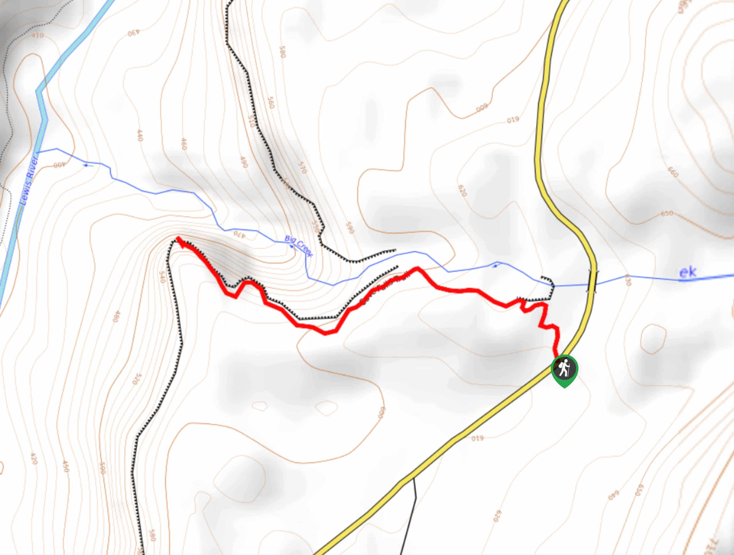
Big Creek Falls Trail
Big Creek Falls Trail takes you through a beautiful forest to three waterfalls, one of which is clearly visible. This…
Curly Creek Falls via Lewis River Trail
Curly Creek Falls can be reached on an easy 0.8mi section of the Lewis River Trail suitable for…
Comments