
Little Huckleberry Trail
View Photos
Little Huckleberry Trail
Difficulty Rating:
Little Huckleberry Trail takes you 4.7mi to the summit of Little Huckleberry Mountain. This trail is moderately difficult, with a consistent incline most of the way. It’s straightforward and easy to navigate, and you’ll enjoy a great view over the Indian Heaven Wilderness. Expect heavy traffic on this route.
Getting there
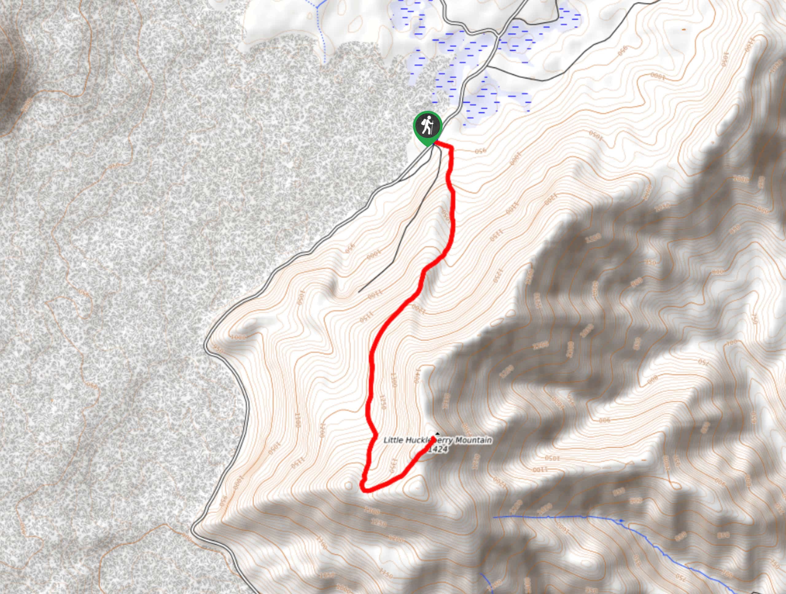
The trailhead for the Little Huckleberry Trail is on Forest Road 66.

About
| Backcountry Campground | No |
| When to do | April-November |
| Pets allowed | Yes - On Leash |
| Family friendly | Older Children only |
| Route Signage | Average |
| Crowd Levels | High |
| Route Type | Out and back |
Little Huckleberry Trail
Elevation Graph
Weather
Little Huckleberry Trail Description
Little Huckleberry Trail is the perfect hike if you’re wanting to get out for a solid, relatively short workout with nice views. This trail is easy to follow, in fairly good condition, and gets your heart pumping for a bit before rewarding you with the views of Mount Saint Helens, Mount Hood, Mount Baker, and more.
Beginning from the trailhead, you’ll take the trail furthest to your left (three leave from this trailhead). It’s a consistent climb up on an obvious trail. About halfway through, the trail levels out a bit, giving you a break before the final climb to the summit.
The views of Mount Saint Helens, Mount Adams, and Mount Hood are excellent from the top. Take it all in before heading back down via the same route.
Similar hikes to the Little Huckleberry Trail hike

Ptarmigan Trail
Ptarmigan Trail is a 4.2mi moderate trail near the base of Mount Saint Helens. This trail is suitable…

Boundary West Trail
Boundary West Trail is a hike near Mount Saint Helens that doesn’t see much traffic, making it a nice pick…

Silver Creek Trail
Silver Creek Trail is a moderate hike in the Gifford Pinchot National Forest that is suitable for most skill levels.…
Comments