Johnston Ridge Observatory Trail
View Photos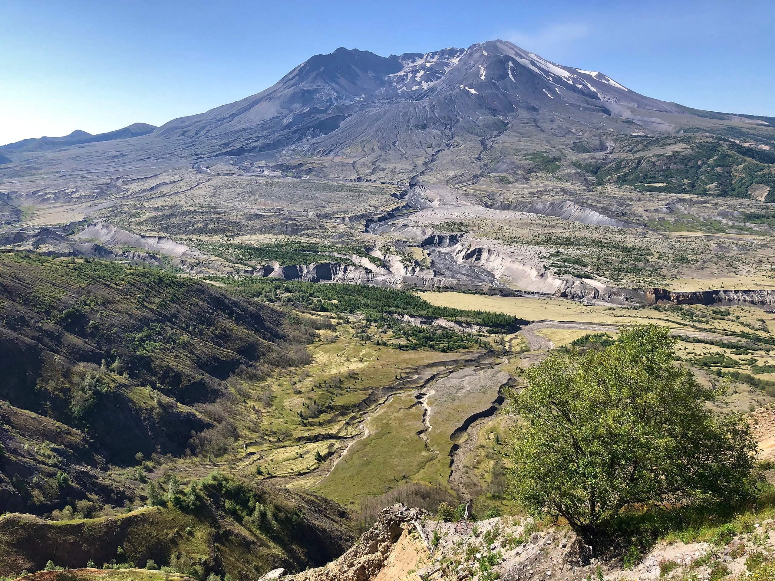
Johnston Ridge Observatory Trail
Difficulty Rating:
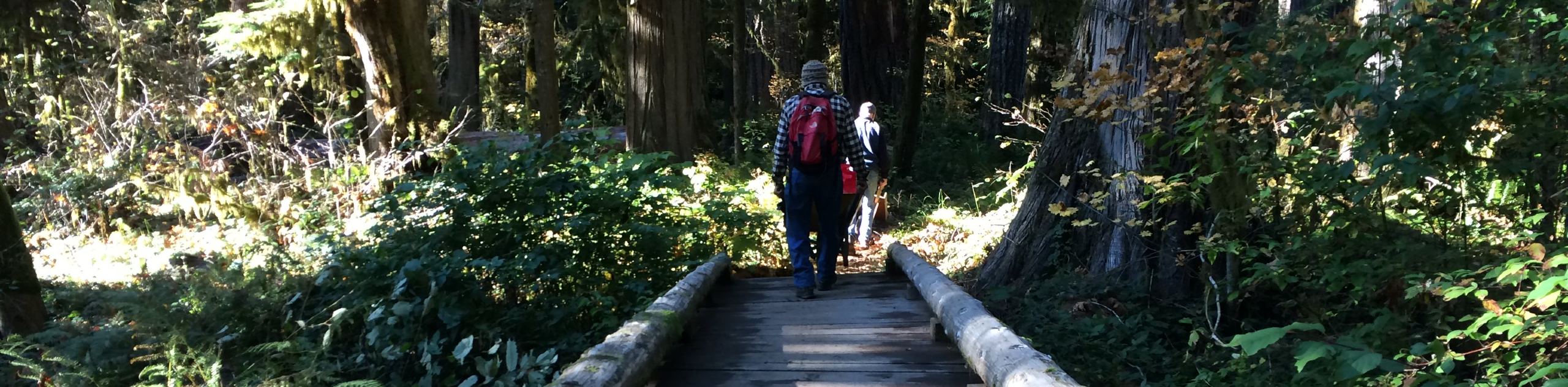
The Johnston Ridge Observatory has one of the best views of Mount Saint Helens you can earn without climbing anything. This very quick and simple walk takes you through the observatory over a half-mile with almost no elevation gain. Part of the trail is wheelchair accessible and the entire path is very family-friendly. If you want to experience the beauty of Mount Saint Helens with as little work required as possible, this is definitely the way! While you observe, you can learn about the history of the volcano, including the deadly eruption that occurred in 1980.
There are restrooms at the observatory but no other amenities are available. Lodging, gifts, and food are available in nearby communities.
Getting there
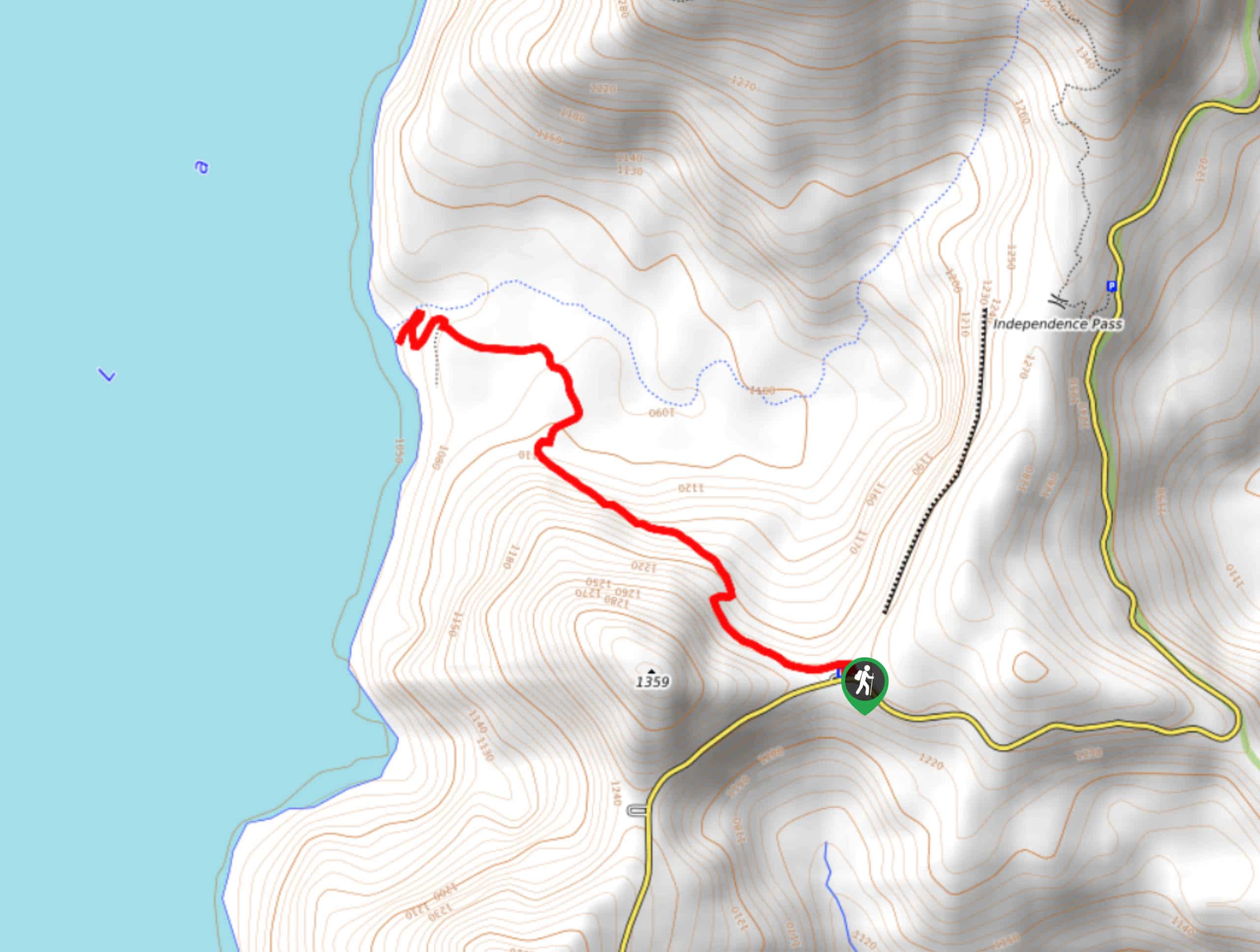
The trailhead for the Johnston Ridge Observatory Trail is off the parking area near the bottom loop of Spirit Lake Highway.

About
| Backcountry Campground | No |
| When to do | May-October |
| Pets allowed | No |
| Family friendly | Yes |
| Route Signage | Average |
| Crowd Levels | Moderate |
| Route Type | Out and back |
Johnston Ridge Observatory Trail
Elevation Graph
Weather
Johnston Ridge Observatory Trail Description
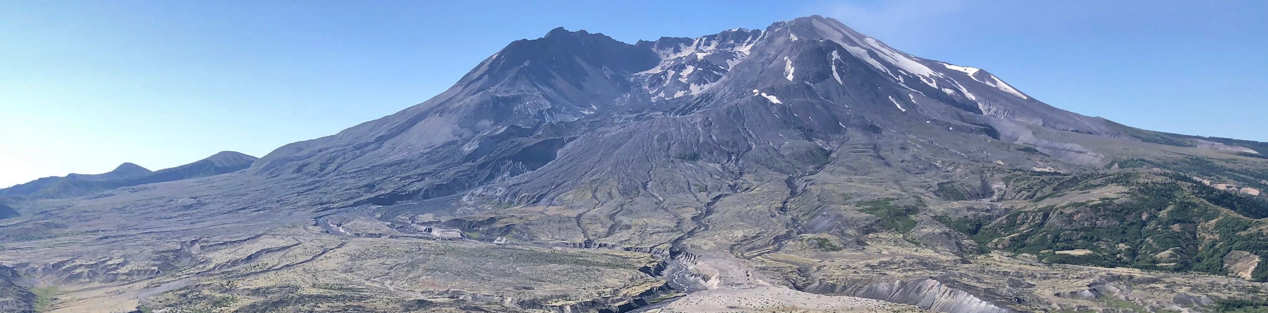
Mount Saint Helens is simultaneously a beautiful natural feature, the subject of sobering history, and a point of speculation for the future. This active volcano infamously erupted in May 1980, killing 57 people and causing a billion dollars of damage. It was the most disastrous explosion in American history. Today, the volcano displays its massive crater, expanding lava dome, new glacier, and post-eruptive geological changes.
The Johnston Observatory is the best place to appreciate Mount Saint Helens and to see how the mountain and the surrounding land were changed by the eruption. The observatory is perched on the Johnston Ridge, and the expanse of flat land between it and Mount Saint Helens provides an unobstructed view.
This trail takes you on a short, easy route around the observatory grounds. This trail is quick, but you can explore the other side of the ridge which has more trails as well.
Beginning from the parking area, head under the road and take the path down to the ridge. You’ll walk along the ridge to your right. This very quick trail ends as far as the path goes this way, but if you go back to where the trail splits at the ridge, you can walk along the trail on the other side even further.
It’s impossible to miss the volcano in your view. Look at the crater, where within there’s an expanding lava dome and the newly formed glacier. Hikers are regularly climbing up to the crater rim.
When you’re ready, head back to the parking area.
Hiking Route Highlights
Mount Saint Helens
Mount Saint Helens is an active volcano, last erupting in May of 1980, taking 57 lives and destroying 200 homes. The volcano is 8363ft high. Previously the summit was at 9677ft, but it was shortened in a lateral eruption triggered by an earthquake. Hikers flock to the summit throughout the year to take in the spectacular views of the Pacific Northwest. Mount Saint Helens was originally named Lawetlat’la by the Cowlitz people.
Frequently Asked Questions
When is the Johnston Ridge Observatory open?
The observatory is open daily from mid-May through October.
Can you camp at the Johnston Observatory?
No, there is no camping at the observatory.
Will Mount Saint Helens erupt again?
Mount Saint Helens is expected to erupt again in the not-too-distant future. The eruptions are expected to be as severe as or more severe than the eruption in 1980.
Insider Hints
Check out the Mount Saint Helens Visitor Center if you’d like to learn more about the volcano.
Bring binoculars for a closer look!
Similar hikes to the Johnston Ridge Observatory Trail hike
Harmony Trail
Harmony Trail is a wonderful easy hike in the Gifford Pinchot National Forest that takes you to the shore of…
Big Creek Falls Trail
Big Creek Falls Trail takes you through a beautiful forest to three waterfalls, one of which is clearly visible. This…
Curly Creek Falls via Lewis River Trail
Curly Creek Falls can be reached on an easy 0.8mi section of the Lewis River Trail suitable for…
Comments