Hummocks Trail
View Photos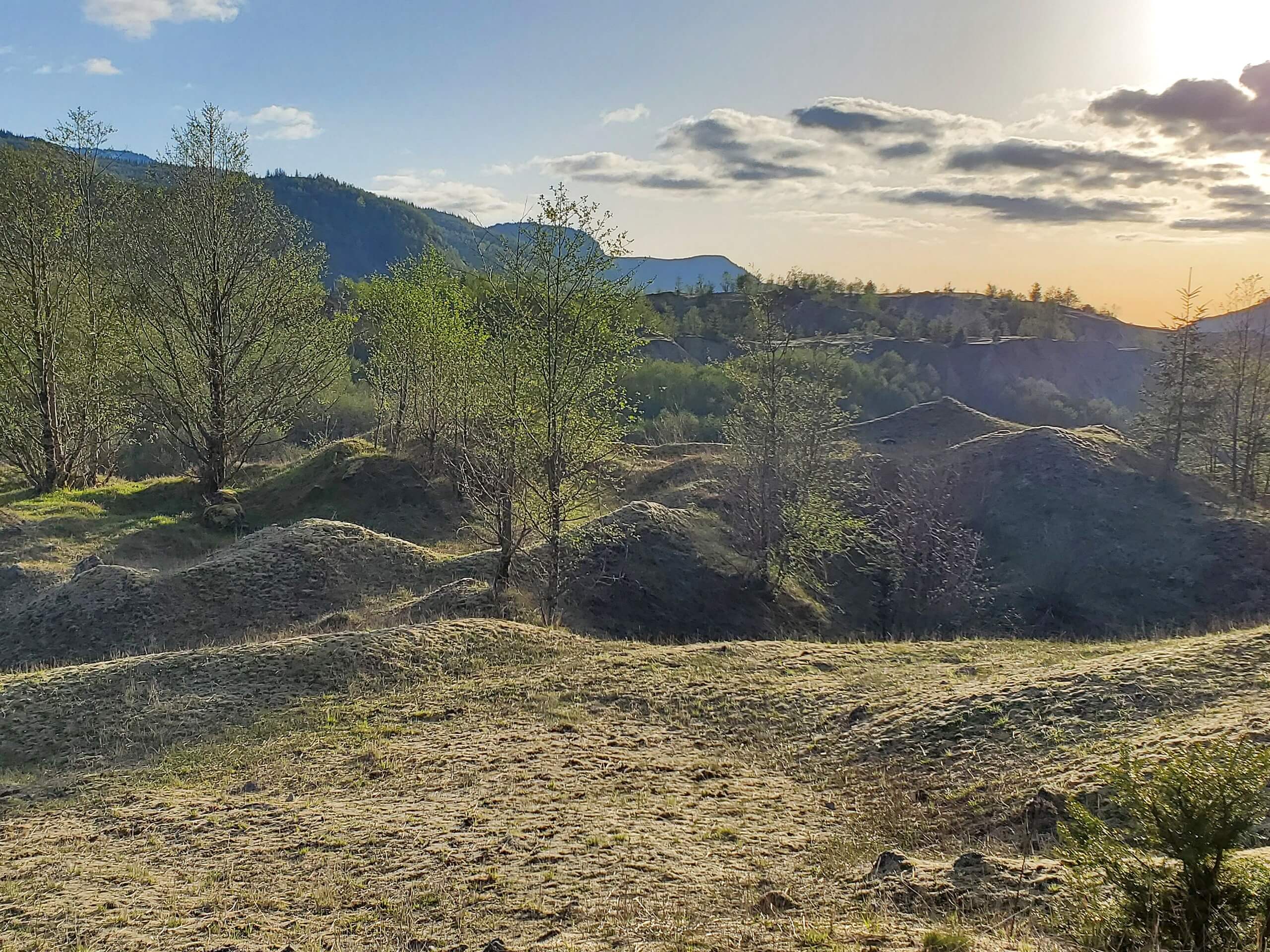
Hummocks Trail
Difficulty Rating:
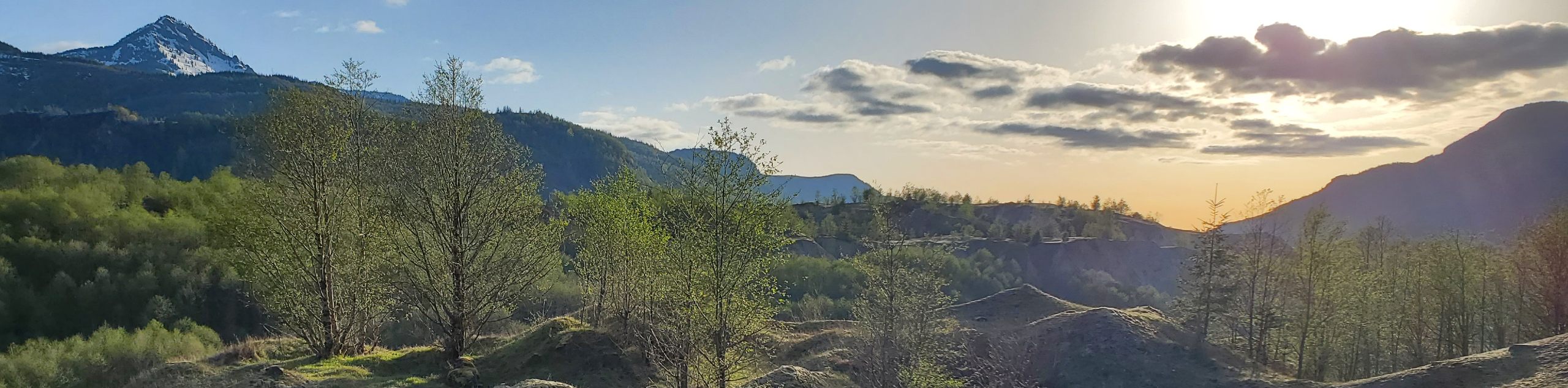
Hummocks Trail is a 24.0mi easy trail in the Mount Saint Helens National Monument that provides a great view of Mount Saint Helens and a walk through the area affected by its 1980 eruption. This hike is scenic and interesting, and it’s suitable for the whole family. Note that it’s very important to stay on the trail here. Walking in the protected areas can result in fines.
Getting there
The trailhead for the Hummocks Trail is in the parking area on Hummocks Trailhead Road.

About
| Backcountry Campground | No |
| When to do | May-October |
| Pets allowed | No |
| Family friendly | Yes |
| Route Signage | Good |
| Crowd Levels | Moderate |
| Route Type | Loop |
Hummocks Trail
Elevation Graph
Weather
Hummocks Trail Description
Hummocks Trail is a great way to see Mount Saint Helens and explore the area affected by its eruption in 1980. The trail is well-signed, interesting, and easy enough for all skill levels. While it’s short and easy, it is a bit rocky, making sturdy shoes a good choice. There are interpretive signs that teach visitors about Mount Saint Helens and the unique history of this area.
The areas around the trail are protected, and walking in them can result in fines. Stay on the trail, which is easy to do with the ample signage in place.
Begin from the trailhead. Take Hummocks Trail out past a small unnamed lake, weaving around geological features. At the junction with Boundary Trail, go left. Walk between three small unnamed lakes and you’ll soon be back at the trailhead
Similar hikes to the Hummocks Trail hike

Ptarmigan Trail
Ptarmigan Trail is a 4.2mi moderate trail near the base of Mount Saint Helens. This trail is suitable…

Boundary West Trail
Boundary West Trail is a hike near Mount Saint Helens that doesn’t see much traffic, making it a nice pick…

Silver Creek Trail
Silver Creek Trail is a moderate hike in the Gifford Pinchot National Forest that is suitable for most skill levels.…
Comments