Cispus Pass Loop
View Photos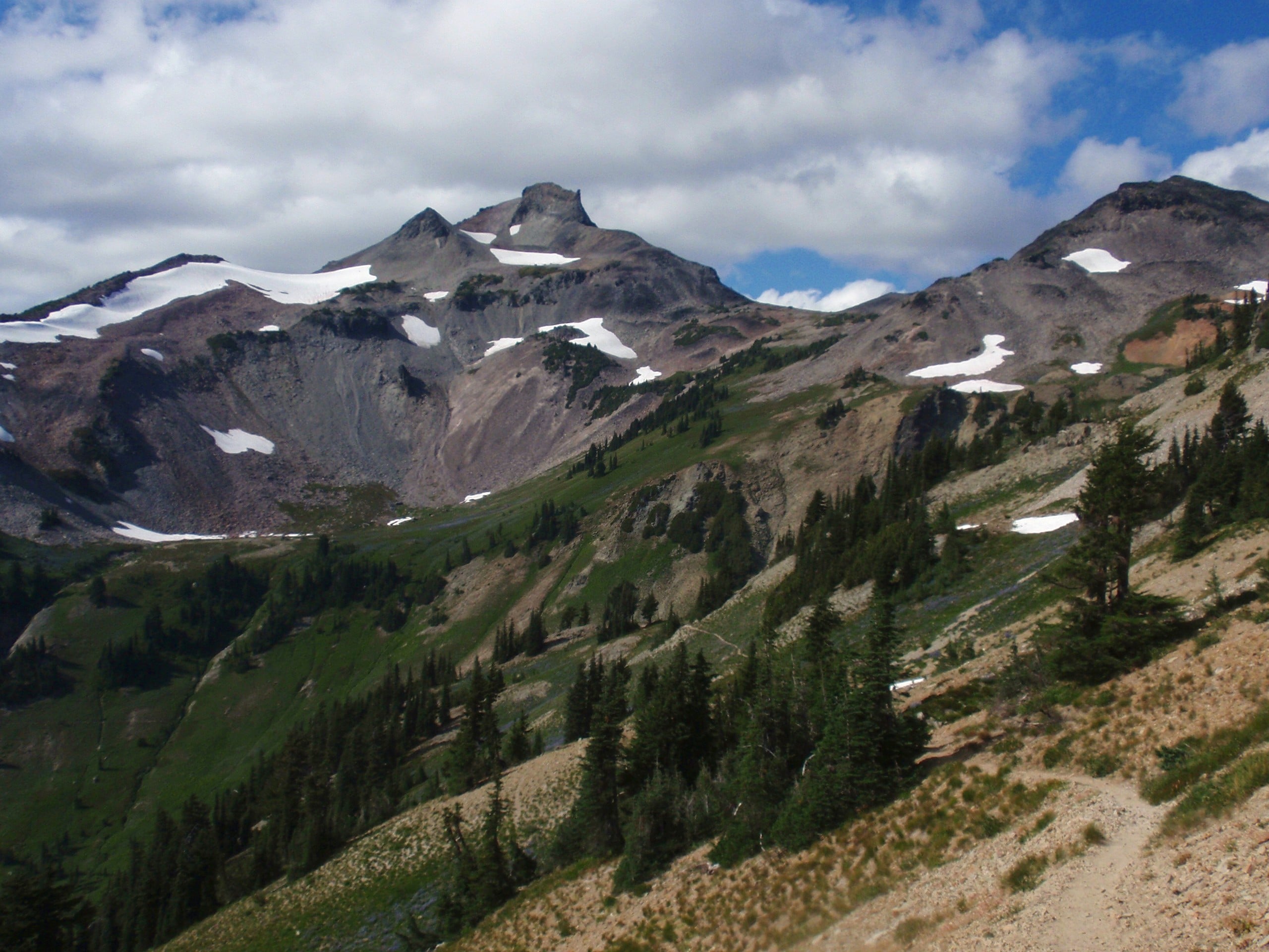
Cispus Pass Loop
Difficulty Rating:
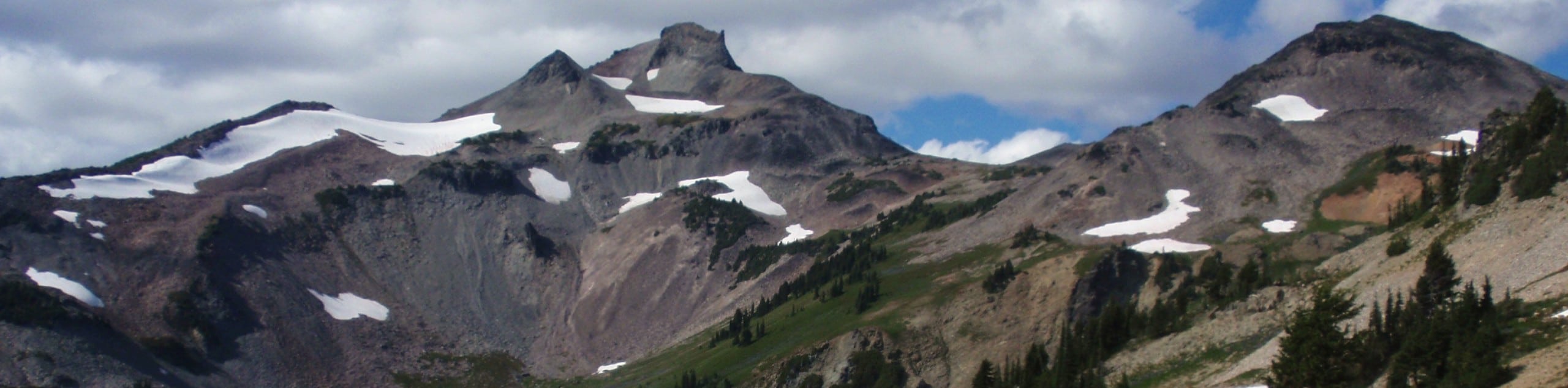
The Cispus Pass Loop is a 12.4mi trail beginning near Walupt Lake that can be used for day hikes or for backcountry trips by camping at Sheep Lake. This trail has great views of Mount Adams, lots of shade, and well-defined routes. Expect light traffic.
Getting there
The trailhead for the Cispus Pass Loop is near the Walupt Lake Campground on Walupt Lake Road.

About
| Backcountry Campground | Walupt Lake Campground |
| When to do | March-October |
| Pets allowed | Yes - On Leash |
| Family friendly | No |
| Route Signage | Average |
| Crowd Levels | Low |
| Route Type | Out and back |
Cispus Pass Loop
Elevation Graph
Weather
Cispus Pass Loop Description
The Cispus Pass Loop is a great longer day hike or shorter backpacking adventure. This hike offers awesome views of Mount Adams and the various lakes in the area on a well-defined, easy-to-follow path. Celebrate your hike with a dip in Walupt Lake if you want!
You can do this hike either way, but we’ll describe it clockwise. Beginning from the trailhead, take the trail to your left that heads up Nannie Peak. It’s a fairly steep start, but once on the ridge, you’ll be heading gently downhill with great views all the way to Sheep Lake. From the lake, you’ll turn roughly south to traverse just underneath the opposite ridge to two unnamed lakes, where you’ll keep right to head across the river valley and along the shore of Walupt Lake to the trailhead.
Similar hikes to the Cispus Pass Loop hike

Ptarmigan Trail
Ptarmigan Trail is a 4.2mi moderate trail near the base of Mount Saint Helens. This trail is suitable…

Lakes Trail #211 Loop
The Lakes Trail #211 Loop is used as both a full-day hike and for backpacking trips. This trail isn’t for…

Boundary West Trail
Boundary West Trail is a hike near Mount Saint Helens that doesn’t see much traffic, making it a nice pick…
Comments