Big Huckleberry Mountain via PCT
View Photos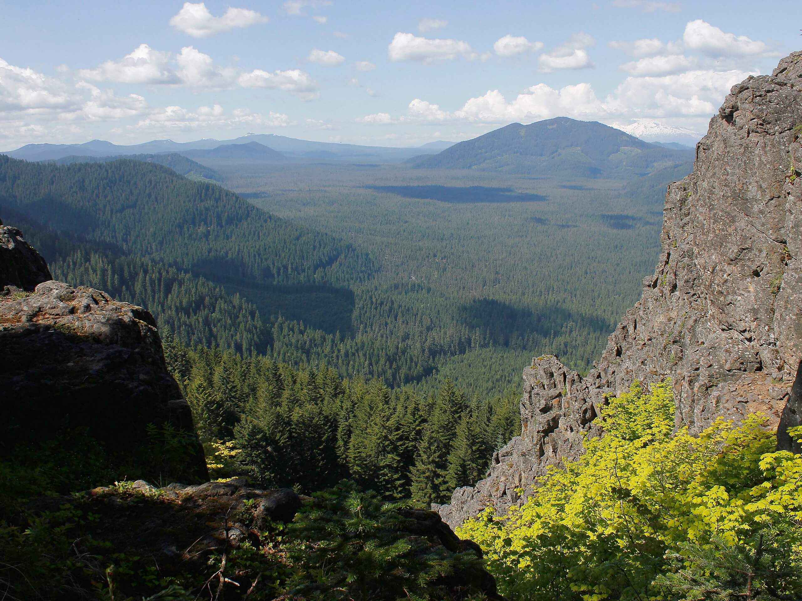
Big Huckleberry Mountain via PCT
Difficulty Rating:
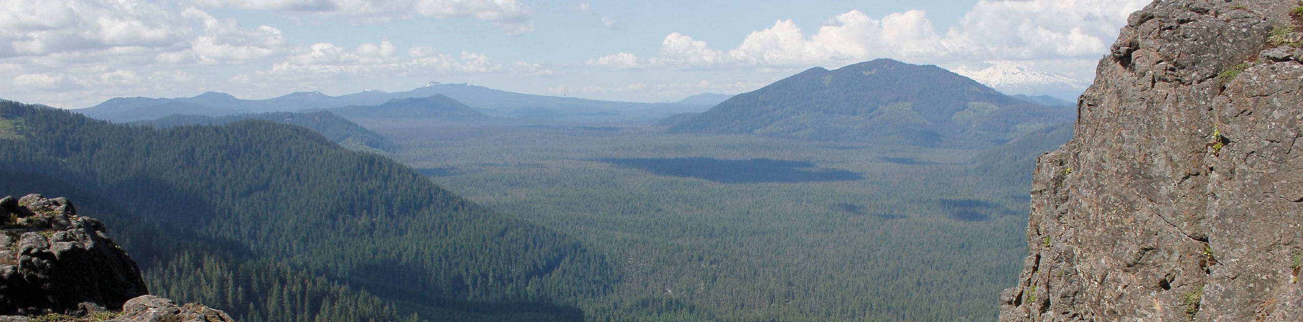
Big Huckleberry Mountain offers great views of Mount Saint Helens and Mount Hood. This route follows 14.0mi of the Pacific Crest Trail, making for a moderately difficult hike. While this trail is easy to follow, it’s not very scenic until the end. Stick it out for the reward. This trail sees light traffic.
Getting there
The trailhead for the Big Huckleberry Mountain via PCT is by the Crest Horse Camp on Forest Road 60.

About
| Backcountry Campground | Crest Horse Camp |
| When to do | May-November |
| Pets allowed | Yes - On Leash |
| Family friendly | Older Children only |
| Route Signage | Average |
| Crowd Levels | Low |
| Route Type | Out and back |
Big Huckleberry Mountain via PCT
Elevation Graph
Weather
Big Huckleberry Mountain via PCT Description
Big Huckleberry Mountain gives you a great vantage point over Mount Saint Helens and Mount Hood. This route guide uses the Pacific Crest Trail to lead you to the top, encompassing a 14.0mi hike that is moderately difficult. This trail sees very light traffic, and you might run into a thru-hiker on the way.
This hike isn’t very scenic until the end, so we recommend putting your head down and making miles to have more time to enjoy the view from the top.
Begin from the parking area on the forest road. Hike south past the horse camp and follow the well-maintained route along a flat section that wraps around the base of two buttes. After the second butte, begin to switchback up through the hills and alongside the ridge that leads to Big Huckleberry Mountain. Once you’re ready to head back, retrace your steps to the trailhead.
Similar hikes to the Big Huckleberry Mountain via PCT hike

Ptarmigan Trail
Ptarmigan Trail is a 4.2mi moderate trail near the base of Mount Saint Helens. This trail is suitable…

Boundary West Trail
Boundary West Trail is a hike near Mount Saint Helens that doesn’t see much traffic, making it a nice pick…

Silver Creek Trail
Silver Creek Trail is a moderate hike in the Gifford Pinchot National Forest that is suitable for most skill levels.…
Comments