Augspurger Mountain Trail
View Photos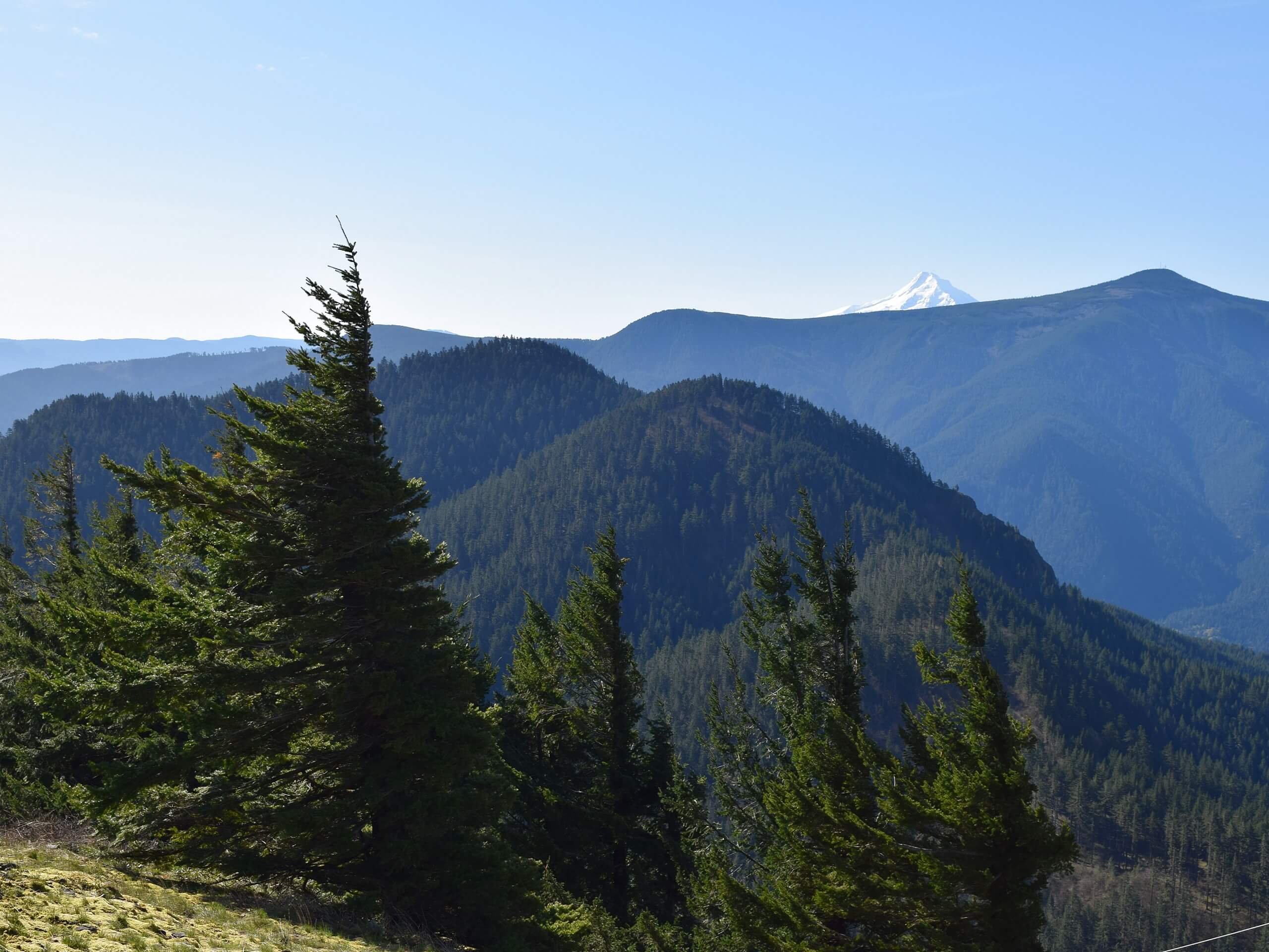
Augspurger Mountain Trail
Difficulty Rating:
Augspurger Mountain Trail is a hard 13.3mi hike in the Columbia River Gorge area. It’s a lightly trafficked trail, in contrast to busy Dog Mountain just beside it. Use this route if you want to avoid the crowds but still get a good hike in. This trail has some problems with overgrowth, so we recommend downloading your GPS track and wearing long pants.
Getting there
The trailhead for the Augspurger Mountain Trail is at the Dog Mountain Trailhead on Lewis and Clark Trail Highway.

About
| Backcountry Campground | No |
| When to do | March-September |
| Pets allowed | Yes - On Leash |
| Family friendly | No |
| Route Signage | Average |
| Crowd Levels | Low |
| Route Type | Out and back |
Augspurger Mountain Trail
Elevation Graph
Weather
Augspurger Mountain Trail Description
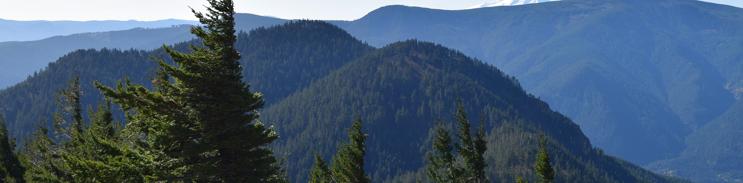
Augspurger Mountain is a great pick if you want similar views to Dog Mountain but you don’t feel like battling the crowds. This trail is never very busy, but you still get to enjoy the Columbia River Gorge. You can also make a loop of it to hit the summit of Dog Mountain on the way back.
This trail suffers from overgrowth, especially in the upper half of the trail. Download your GPS route and wear long pants to make this section easier.
The hike begins from the Dog Mountain Trailhead. While you can take Dog Mountain Trail up and connect to the Augspurger Trail north of the Dog Mountain summit, there is a dedicated trail to the far west. Take this trail and hike up the base of Dog Mountain, skirting well below the summit. Past the forest road, the overgrowth gets bad. Make your way through, climbing on up to the top. You can either retrace your steps or stay left at the split with Dog Mountain Trail and hit the summit of Dog Mountain on the way back. The second option is more tiresome but offers nice views.
Similar hikes to the Augspurger Mountain Trail hike

Ptarmigan Trail
Ptarmigan Trail is a 4.2mi moderate trail near the base of Mount Saint Helens. This trail is suitable…

Lakes Trail #211 Loop
The Lakes Trail #211 Loop is used as both a full-day hike and for backpacking trips. This trail isn’t for…

Boundary West Trail
Boundary West Trail is a hike near Mount Saint Helens that doesn’t see much traffic, making it a nice pick…
Comments