
Silverdale Trail
View Photos
Silverdale Trail
Difficulty Rating:
Hike the Silverdale Trail through the stunning aspen forests and past several old mines. Adults and children alike will enjoy the stimulating adventure through the woodlands, past the Georgetown Reservoir, and through the historical sites.
Getting there
Find the Silvedale Trailhead off Guanella Pass Road.

About
| Backcountry Campground | No |
| When to do | April-November |
| Pets allowed | Yes - On Leash |
| Family friendly | Yes |
| Route Signage | Poor |
| Crowd Levels | Low |
| Route Type | Lollipop |
Silverdale Trail
Elevation Graph
Weather
Silverdale Hike Description
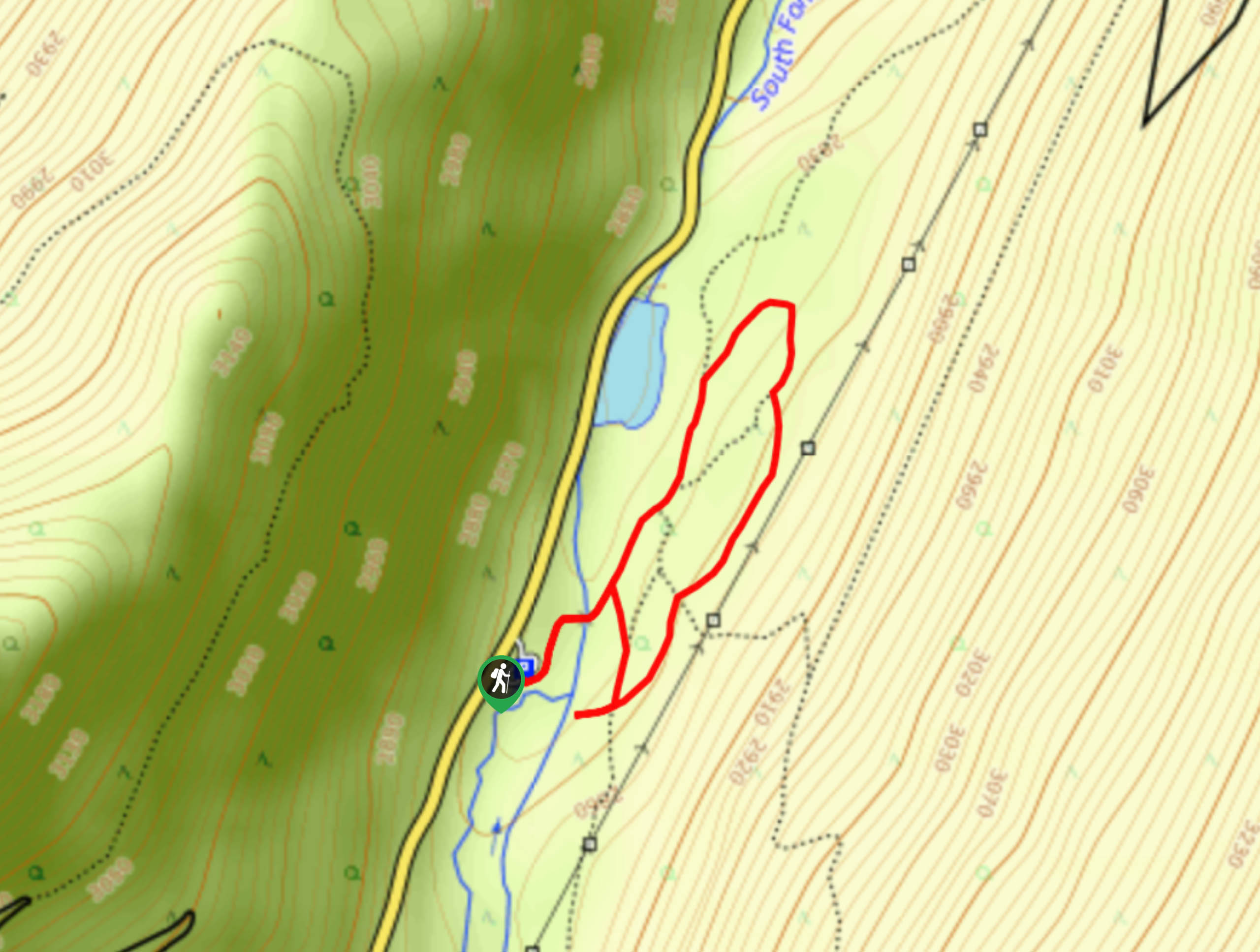
Who doesn’t love a hike sprinkled with pieces of history, right? This wonderful network of trails is just a short drive away from the municipality of Georgetown in Colorado. Hike the paths and notice the structures that remain from the old mines in the area. Whether you are a history buff or not, these mines are impressive and cool to see as you meander down the forested path. Note there are several paths in the area. We recommend using the trail GPS or simply wander this network of trails around the historical sites.
Begin your adventure along the Silverdale Trail from the parking lot. Take the Sporting Times Trail and it will lead you over a bridge, crossing the South Fork Clear Creek. Hike along the path to the Georgetown Reservoir. At the reservoir, turn right past an old concrete structure and then down the Railbed Trail on the far left. At the next intersection, take the Clear Branch Trail south down to the Ocean Wave Mine. Explore the site and notice the Central Equator Mine further south, if you want, track down the trail to get a closer look. If not, loop back up Clear Branch Trail until you intersect with the Sporting Times Trail again. Here, retrace your steps back to the parking lot, which is situated next to the Belotti Mine.
There are several intersecting trails along this route. If you wish to spend more time in the area, immersing yourself in the rich mining history, simply take a connecting route and trek further. There are also manmade wood huts places along the trails, perfect for kids to explore.
Similar hikes to the Silverdale Trail hike

Rutherford Trail
The Rutherford Hike is a charming nature walk in Georgetown Colorado. This secluded trail is a wonderful adventure the whole…
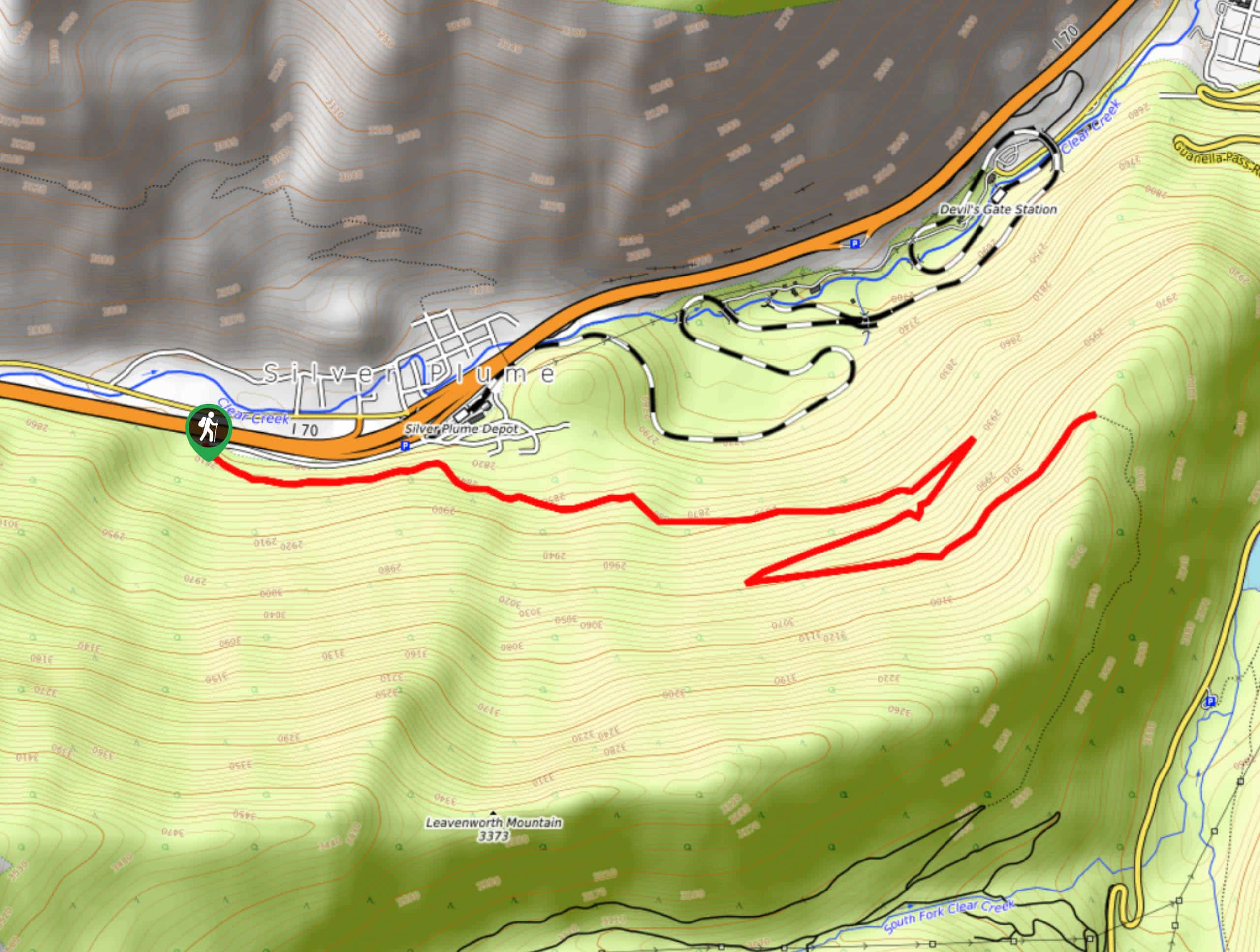
Pavilion Point Hike
The Pavilion Point Hike is an awesome adventure that the whole family can enjoy. Near Silver Plume Train Depot, kids…
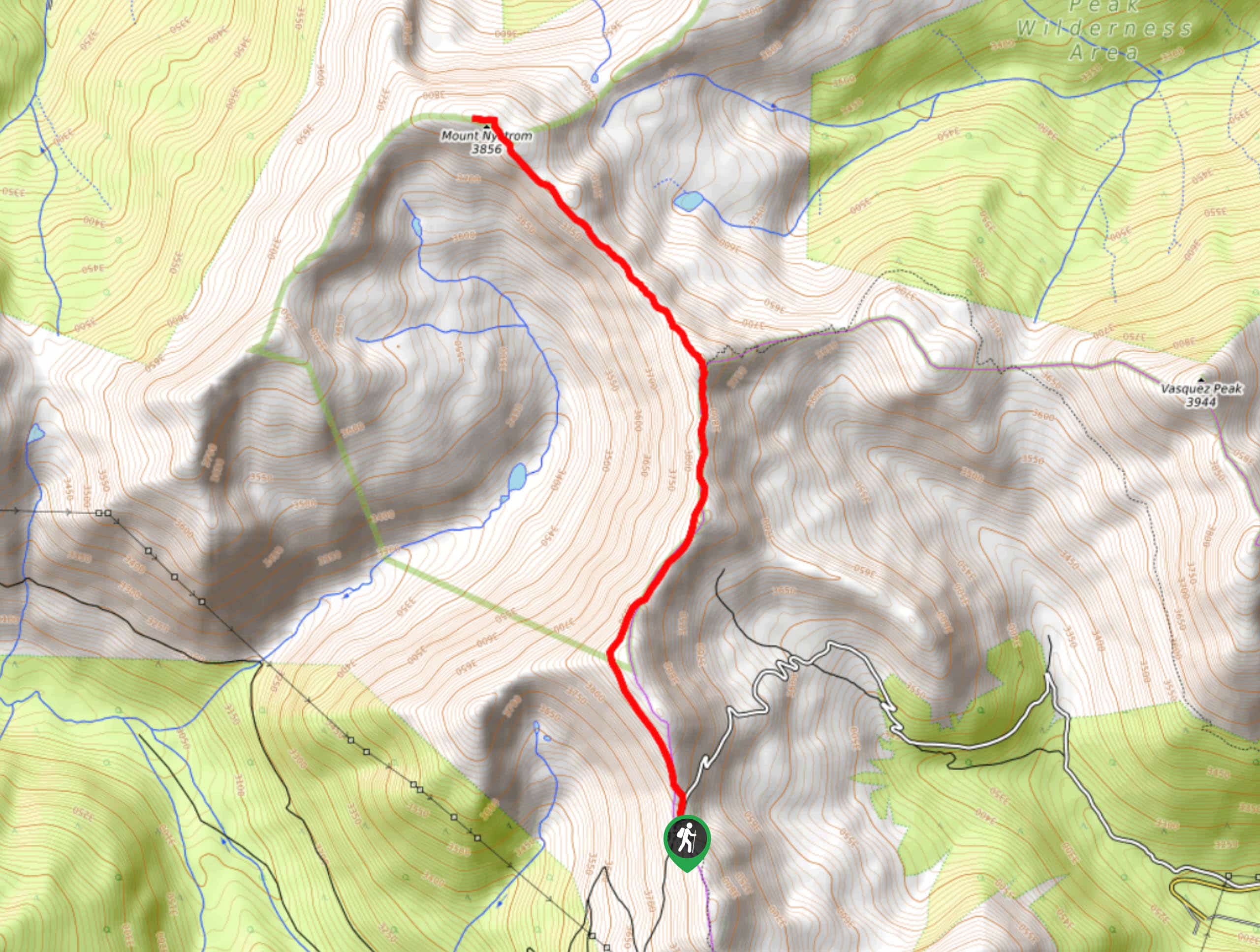
Mount Nystrom Trail
The Mount Nystrom Trail is an exciting adventure above the clouds. Hike the exposed path to the summit and enjoy…
Comments