
Saddle Rock via Button Rock Trail
View Photos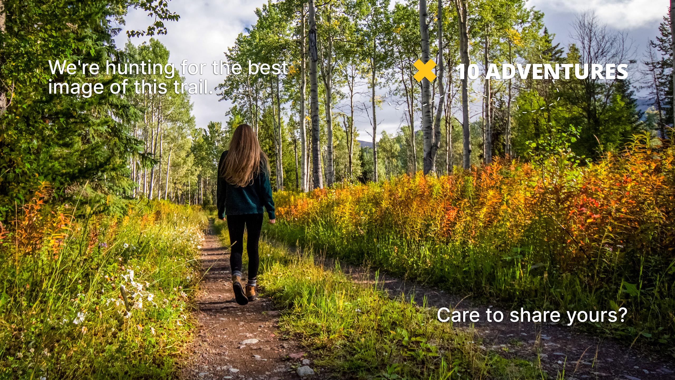
Saddle Rock via Button Rock Trail
Difficulty Rating:
If you are seeking an exciting adventure in the Colorado wilderness, then you may have found your match. Scramble up through the ponderosa pines to Saddle Rock via Button Rock Trail. This excursion is not for the faint of heart, so make sure you are prepared to do some off-roading and scrambling if you attempt this exciting trail.
Getting there
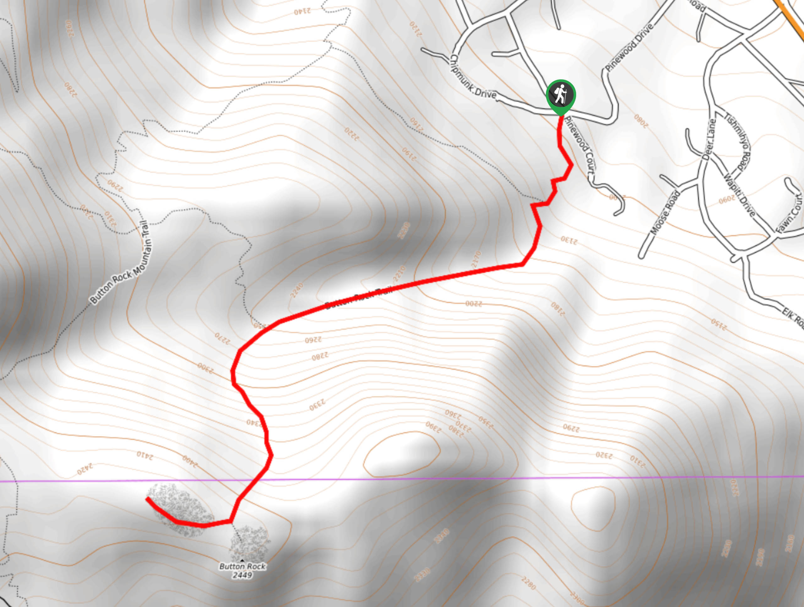
The Saddle Rock via Button Rock Trailhead is accessed at the intersection between Pinewood Drive and Chipmunk Drive in Pinewood Springs.

About
| Backcountry Campground | Dispersed Backcountry Camping, restrictions apply. |
| When to do | June-October |
| Pets allowed | No |
| Family friendly | No |
| Route Signage | Poor |
| Crowd Levels | Low |
| Route Type | Out and back |
Saddle Rock via Button Rock Trail
Elevation Graph
Weather
Saddle Rock via Button Rock Hike Description
The Saddle Rock via Button Rock Trail is a stimulating hike near Pinewood Springs. Located near a residential area, this adventure is secluded. If you wish to escape the crowds that are drawn to the Rocky Mountain National Park, then venture to Saddle Rock via Button Rock Hike. Note this adventure is primitive and there are no signposts, we suggest using the trail GPS to help you navigate the path. Additionally, you will be scrambling up steep, rocky terrain along this hike, ensure to wear proper footwear and hiking poles are highly recommended. As there is no parking lot, simply park alongside the road.
Begin your climb up the Saddle Rock via Button Rock Trail from the unmarked trailhead at the intersection of Pinewood Dr. and Chipmunk Dr. Track the trail south under tree coverage. Shortly after your departure from the trailhead you will encounter a junction, stay left up the unmarked path. Scramble up the trail, carefully navigating the loose rocks. If it has been raining, be mindful that the terrain will be slippery! Ascend the steep route and you will meet another intersection at Button Rock. Here, keep right and you will traverse the narrow saddle over to Saddle Rock.
Explore the unique, red-colored boulders that sit atop the summit and revel in the 360-degree panoramic views. When you are ready to return, retrace your steps down the trail to your car.
Similar hikes to the Saddle Rock via Button Rock Trail hike

Hankins Pass Hike
The Hankins Pass Hike is a quintessential adventure across the Lost Creek Wilderness. The hike demonstrates the diversity of the…

Miller Gulch Loop Trail
The Miller Gulch Loop Trail is a scenic meadowland adventure in the Pike National Forest. Hike through grassy meadows laden…

The Castle Hike
The Castle Hike is an exciting adventure up the steep, forested terrain to The Castle Rock. From atop the summit,…
Comments