Mount Bethel Trail
View Photos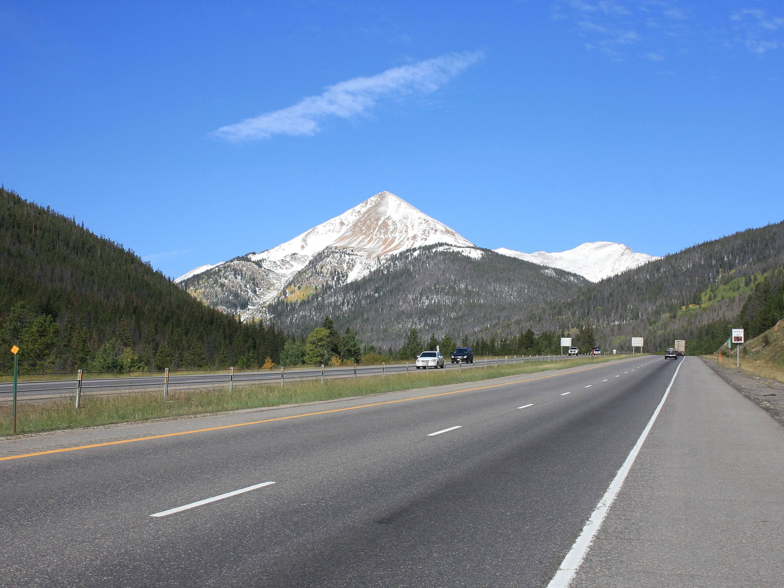
Mount Bethel Trail
Difficulty Rating:
If you are seeking an isolated excursion among the packed 13er and 14er trails, then you will love the Mount Bethel Hike. The Mount Bethel Trail is a primitive and unmarked path up to the prominent peak along the edge of Continental Divide. This trail is perfect for adventurers who enjoy off-roading and blazing their own trail.
Getting there
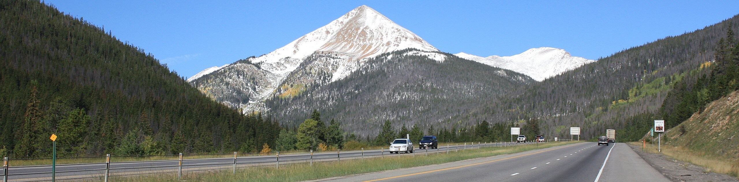
The Mount Bethel Trailhead is off of I-70 at the end of the Mount Bethel dirt road.

About
| Backcountry Campground | Dispersed Backcountry Camping, see rules and regulations. |
| When to do | April-October |
| Pets allowed | Yes - On Leash |
| Family friendly | Older Children only |
| Route Signage | None |
| Crowd Levels | Moderate |
| Route Type | Out and back |
Mount Bethel Trail
Elevation Graph
Weather
Mount Bethel Hike Description
Ready to do some bushwhacking? Though the Mount Bethel Trail is primitive and unmarked, it is a lovely excursion. Hike along a forested path before the trail opens up to a rocky scree field up to the summit. Bask in incredibly beautiful vistas of the surrounding wilderness and appreciate the quiet route. A trail GPS is always a good insurance in case you get off-track on this primitive adventure. Make sure you are wearing hiking boots because the rocky talus field is an ideal location to roll an ankle. Ensure to pack plenty of water because the elevation gain is packed in this short trail.
Start your adventure from the end of the dirt road. Past the metal gate you will see the trail. Hike along the edge of the I-70 until the route diverts you up a forested valley. Hike northwest along the creek that runs through the rocky gorge. Continue tracking along the creek until it begins to diverge west, away from the trail. Here, you will divert east and begin ascending a rocky meadow to the summit. This section is steep and exposed. Trek northeast along the open plains and mind your footing on the loose rocks that line the trail. The route will begin to curve east and the elevation will intensify as you navigate the talus field to the summit. Climb up the steep path to crest the summit of Mount Bethel.
Revel in the expansive and uninterrupted views from the summit. In the northwest you will see Pettingell peak and in the west, The Citadel. If you are feeling adventurous, climb over the rocky pass to The Citadel on the Continental Divide. If you are ready to return back to the car, simply retrace your steps down the route all the way back to the trailhead.
Similar hikes to the Mount Bethel Trail hike

Hankins Pass Hike
The Hankins Pass Hike is a quintessential adventure across the Lost Creek Wilderness. The hike demonstrates the diversity of the…

Miller Gulch Loop Trail
The Miller Gulch Loop Trail is a scenic meadowland adventure in the Pike National Forest. Hike through grassy meadows laden…

The Castle Hike
The Castle Hike is an exciting adventure up the steep, forested terrain to The Castle Rock. From atop the summit,…
Comments