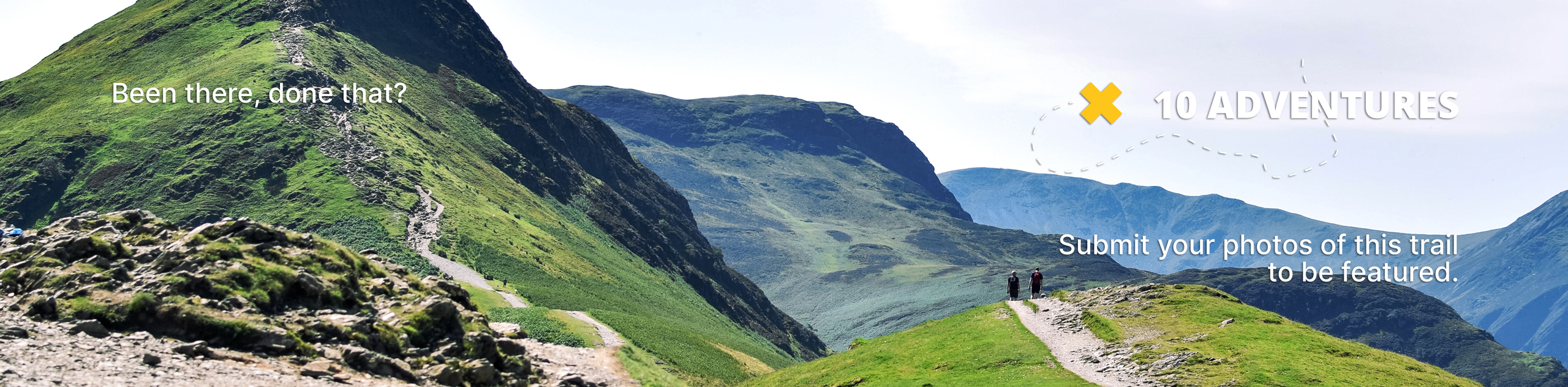
Disappointment Falls via Molly Lake Road
View Photos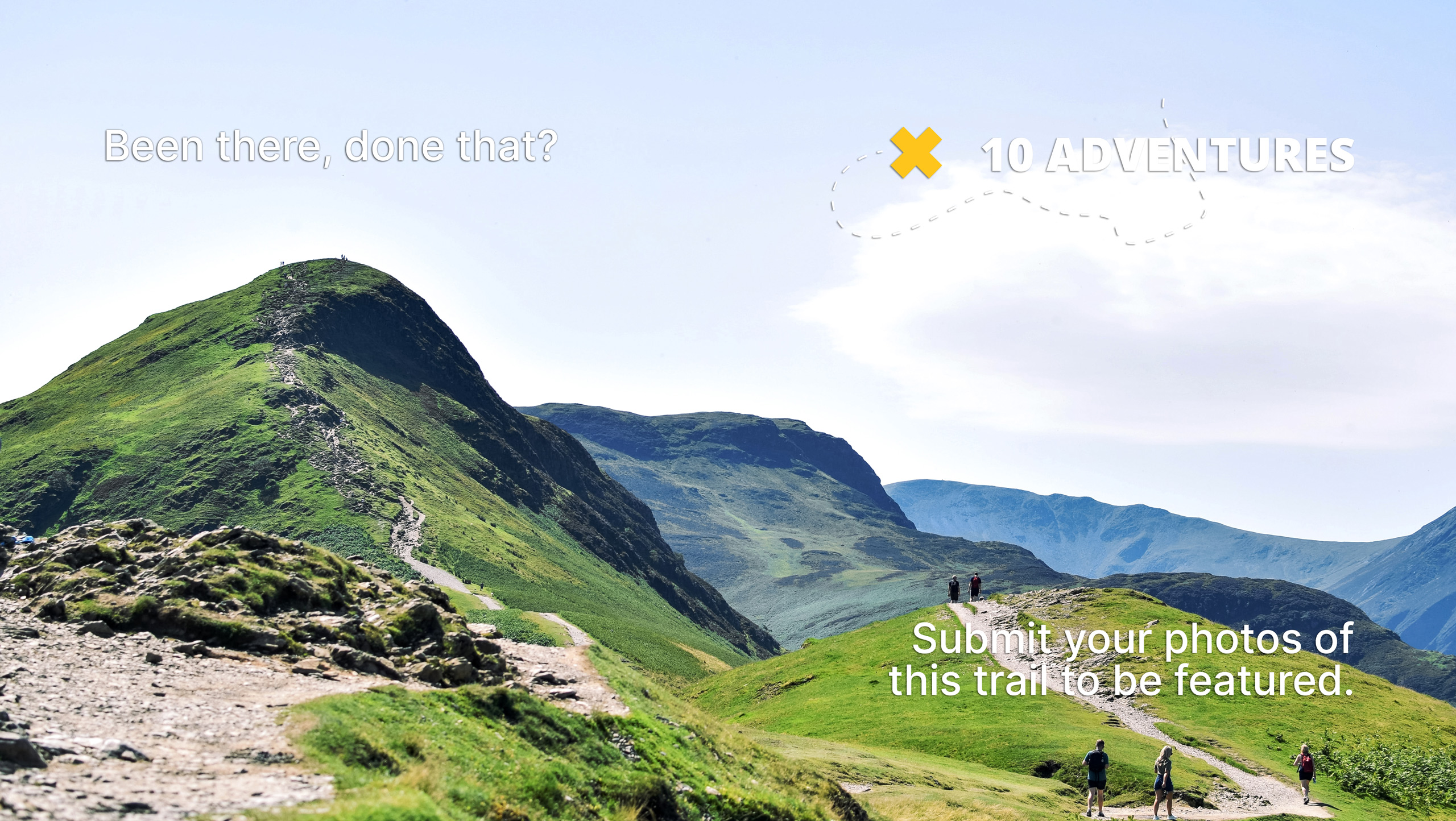
Disappointment Falls via Molly Lake Road
Difficulty Rating:
The Disappointment Falls via Molly Lake Road Hike is a stunning adventure through the Cache La Poudre Wilderness. Escape into nature as you hike along the diverse terrains Colorado has to offer. This stimulating adventure is a wonderful day-hike for the whole family.
Getting there
Disappointment Falls via Molly Lake Road Hike is accessed via County Road 68C.

About
| Backcountry Campground | Dispersed Backcountry Camping, restrictions apply. |
| When to do | April-October |
| Pets allowed | Yes - On Leash |
| Family friendly | Yes |
| Route Signage | Average |
| Crowd Levels | Moderate |
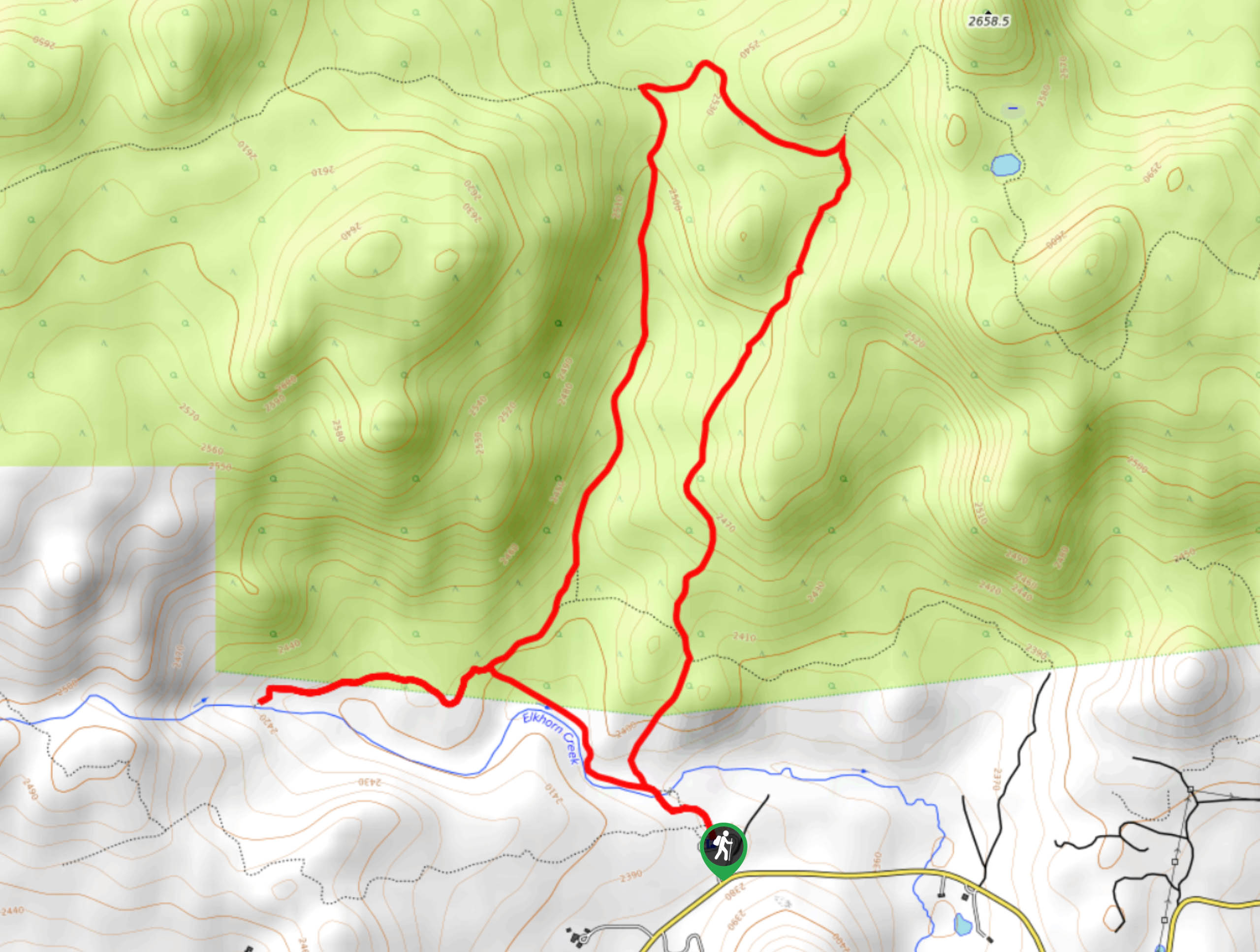
| Route Type | Circuit |
Disappointment Falls via Molly Lake Road
Elevation Graph
Weather
Disappointment Falls via Molly Lake Road Hike Description
The Disappointment Falls via Molly Lake Road is a great Colorado hike that will please the whole family. Travel along the old service road, up to the granite ridge and to the cascading falls. Explore the falls and decide for yourself it is truly disappointing. As you travel along this diverse terrain you will enjoy all the best of what the Cache La Poudre Wilderness has to offer. Adventure this trail in the autumn to catch the aspen trees at their peak!
The Disappointment Falls via Molly Lake Road Hike can be completed in either direction, though we would recommend trekking counter clockwise. Begin your hike from the route signposted Lady Moon Trail. Trek along the path, over Elkhorn Creek and keep right at the junction. Hike the path into the aspen grove. At the next intersection, stay straight and you will be diverted onto Molly Lake Road. As you ascend the road you will pass several granite outcroppings. Eventually you will confront a junction. Here, turn left along the Granite Ridge Trail. Enjoy the views of the mountainous landscape from the exposed ridge, and at the next intersection, turn left down Lady Moon Trail.
Descend the forestland route and at the next fork in the road, veer right down Disappointment Falls Trail. Hike down to the falls and dip your toes into the pool. Explore the falls and decide for yourself if they live up to their name. When you are ready, retrace your steps along the trail and at the junction, keep right and you will be guided back to the trailhead and parking lot.
Similar hikes to the Disappointment Falls via Molly Lake Road hike

Miller Gulch Loop Trail
The Miller Gulch Loop Trail is a scenic meadowland adventure in the Pike National Forest. Hike through grassy meadows laden…

The Castle Hike
The Castle Hike is an exciting adventure up the steep, forested terrain to The Castle Rock. From atop the summit,…

Rutherford Trail
The Rutherford Hike is a charming nature walk in Georgetown Colorado. This secluded trail is a wonderful adventure the whole…
Comments